Out of Jasper, we could have chosen to go north to join the Alaska Highway (ALCON) out of Dawson Creek but we decided to go west first to get to Stewart on the coast in time to possibly see grizzlies feasting on the salmon run before then turning north on the Stewart-Cassiar Highway for the Yukon.
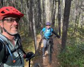
Along the way, we overnighted in Prince George and, after our detour to Fort St. James for the chicken races, we camped overnight near the town of Smithers and put in an afternoon ride on some of their mountain bike trails. The next day we made another detour to go south on the Cassiar Highway to visit Terrace which also had some nice biking trails. After our ride we tried to find a campsite at this little lakeside park on the shore of Kitsumkalum Lake but it was overrun with weekend revelers. Giving up the lake shore we found a crazy sweet and secluded fishing spot along the river downstream.
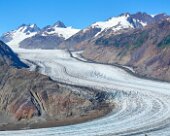
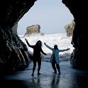
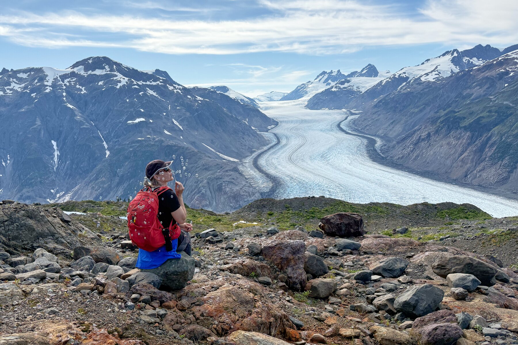
Eventually though we made it to Stewart, BC and then just across the border and through Hyder, Alaska to a camping area near the Fish Creek Wildlife Observation Site after dark. The recommended viewing times are at dusk and dawn but we showed up late the following morning and missed out on a sighting, not realizing that Hyder was an hour ahead of British Columbia time. However, we spent the day following the dirt road north to admire the massive Salmon Glacier and do some hiking.
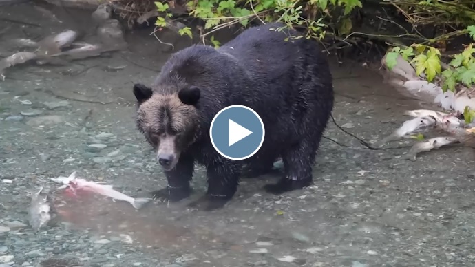
That night we did luck out and get to see a grizzly bear make her away along the creek apparently looking for just the right salmon to feast on. The next morning, well before sunrise, we were among the first to arrive and once again got to watch the same bear. After these two successful sessions, we decided to move on and follow the Stewart-Cassiar Highway on north to the Yukon.
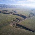
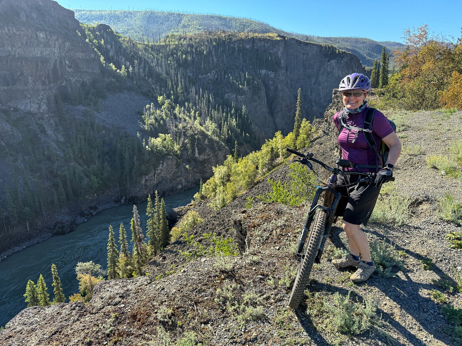
The northern part of British Columbia is seriously remote and there are few opportunities for sightseeing, at least not by any roads. We did make another multi-day detour down a very long stretch of unpaved road to see and bike along the accessible part of the “Grand Canyon of the Stikine”.
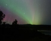
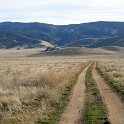
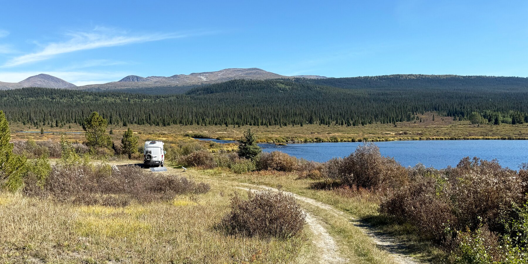
Continuing north along the Cassiar Highway, we eventually joined the Alaska Highway (or ALCAN) to head further west towards the Yukon and Alaska. Then we took a detour south again into British Columbia to visit Atlin Lake and found a really nice wild camping spot alongside an unnamed lake on Fourth of July Creek near the McDonald Lake Recreation Site. We stayed two nights, did a little hike towards the nearby mountains but didn’t go very far and had a nice little auroral display one night.
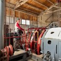
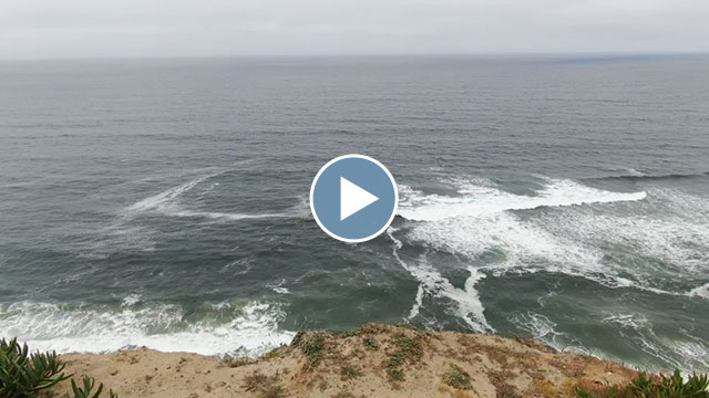
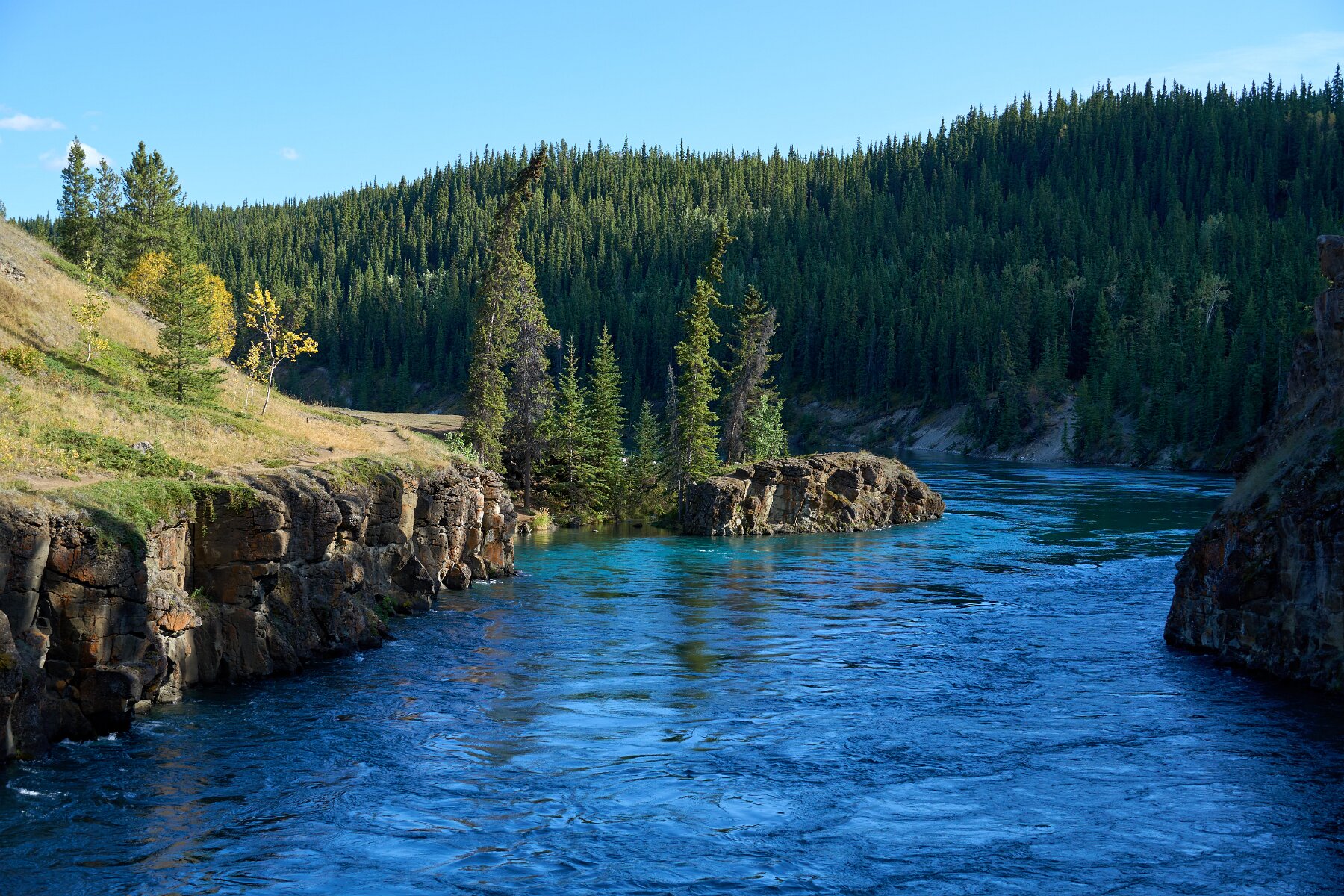
Returning to the Alaska Highway, we decided to make an extended side trip down to Skagway. After that we eventually reached Whitehorse where we stayed in a hotel for a couple of nights, checked out some local museums and exhibits (particularly on the Klondike Gold Rush), ventured out on some local mountain biking trails (there’s tons around Whitehorse) and went to see Miles Canyon.
After Whitehorse, we continued west on the Alaska Highway towards Kluane National Park.
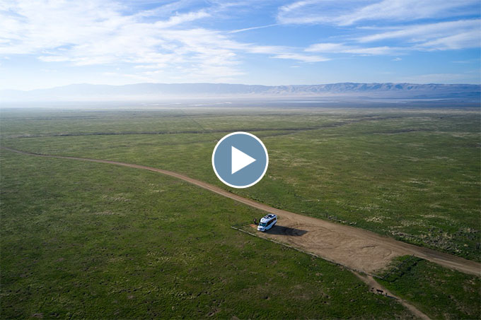
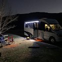
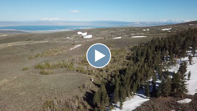
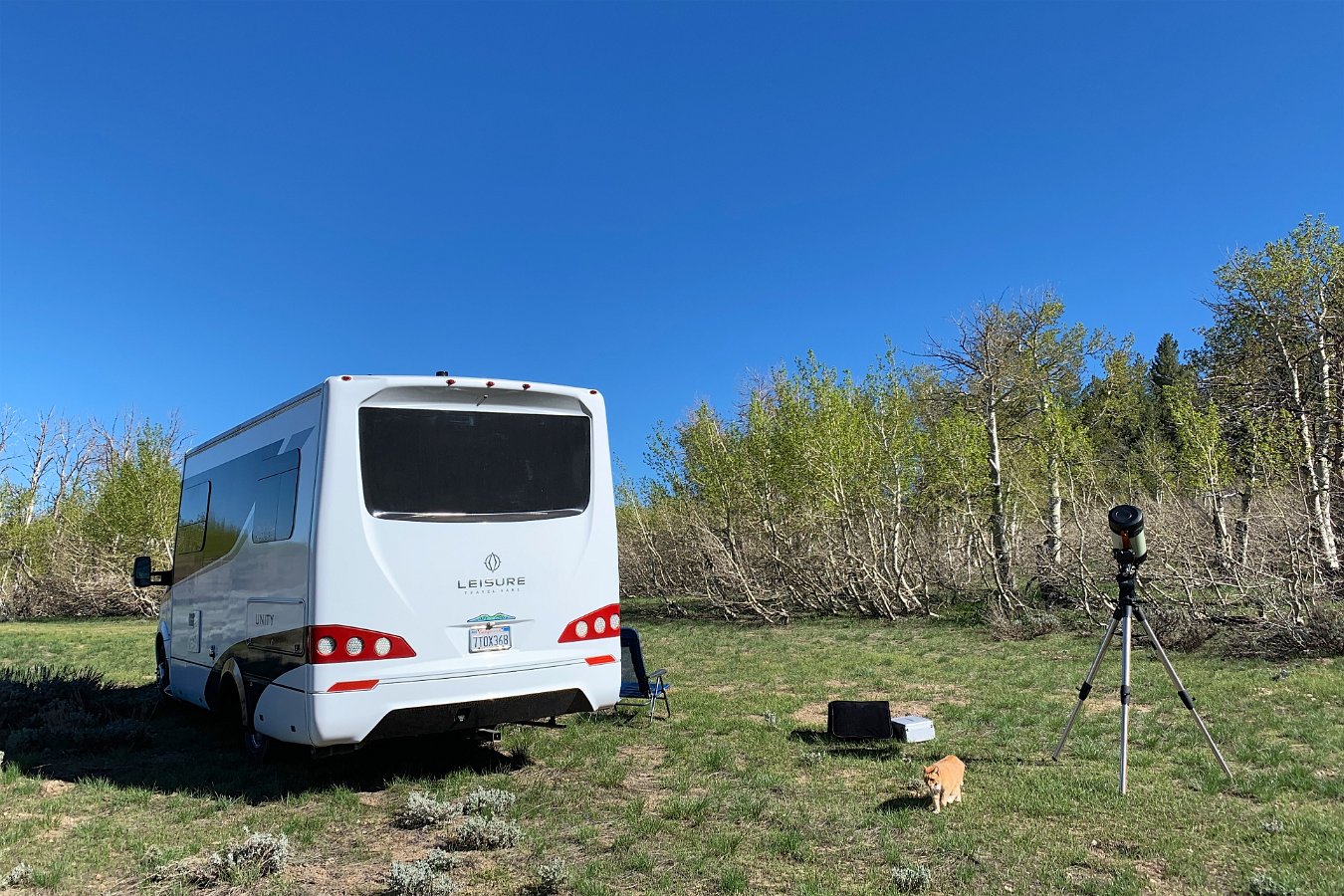
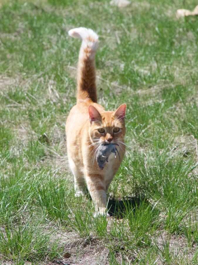
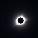
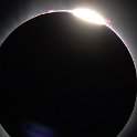
Click through for the full gallery: