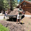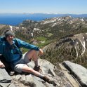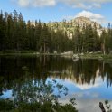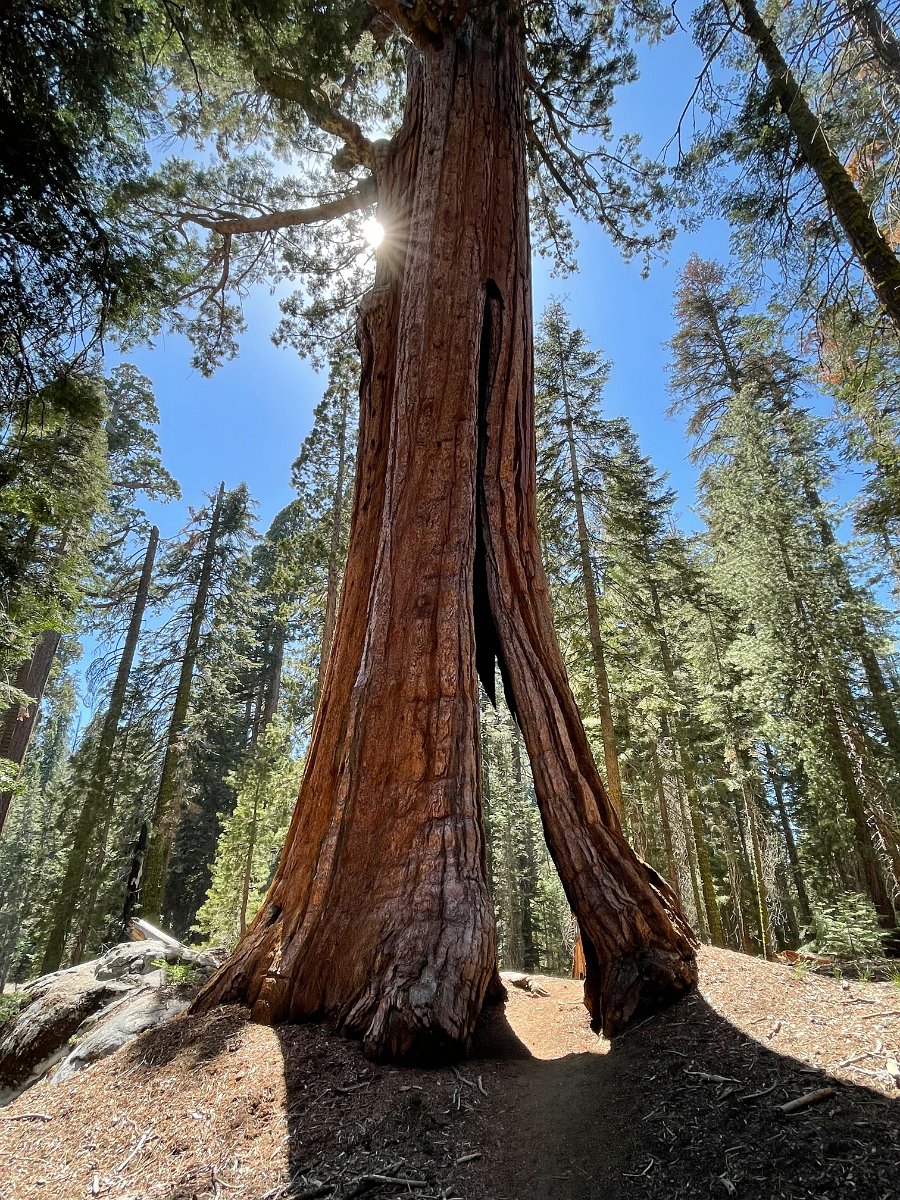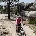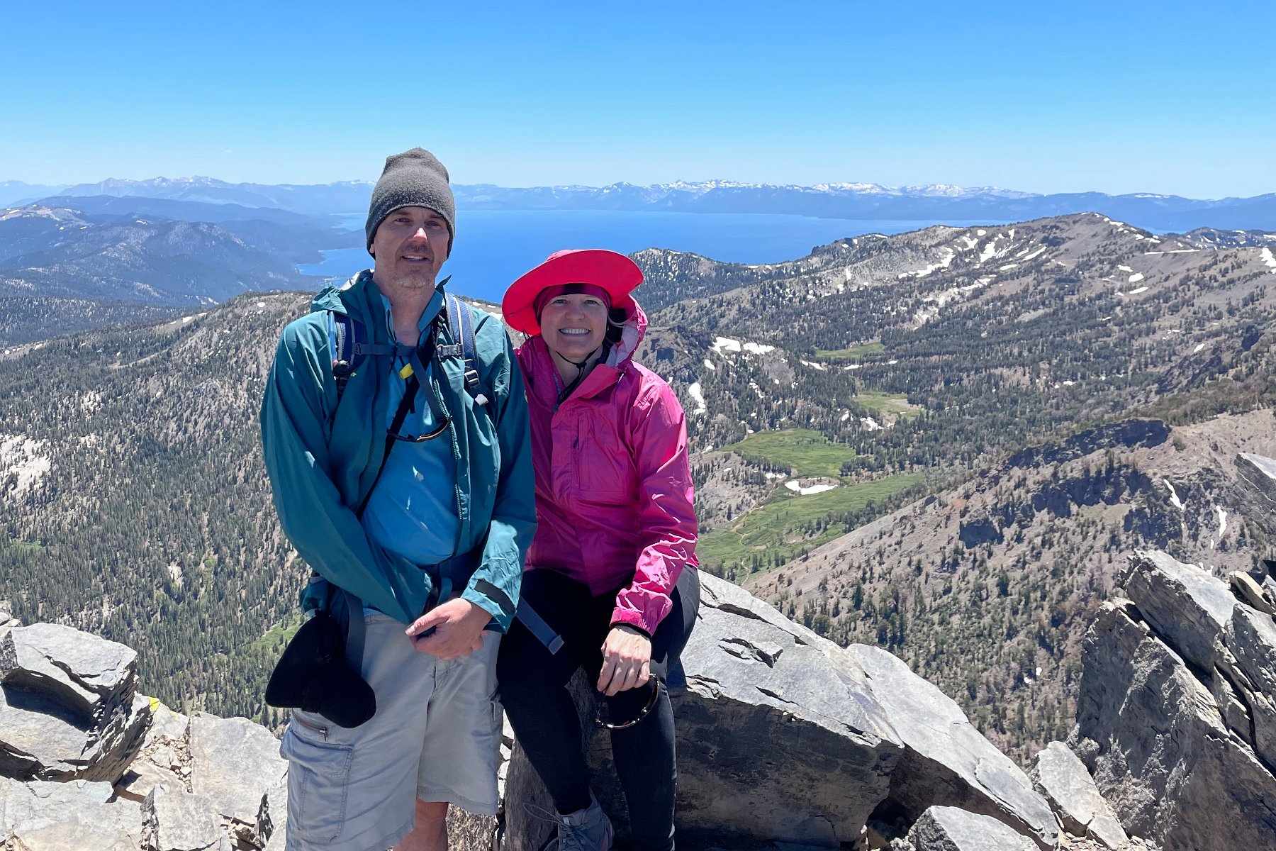
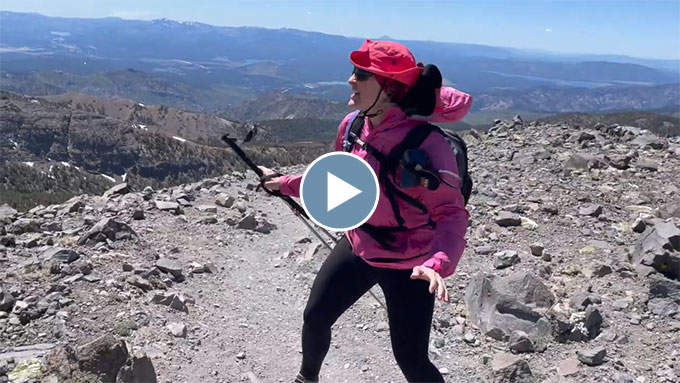
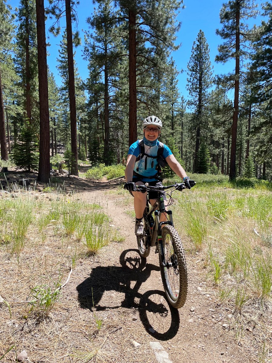
Darlene and I spent a couple weeks in late June and early July at the Tahoe house taking care of a bunch of house maintenance, including roof repair, clearing newly fallen branches and pine needles, moving the bear box to accommodate a widening of the driveway, etc. We took some time off from all that to go climb to the top of a very windy Mt. Rose (elev. 10,785 ft.), do some mountain biking and hike up the Five Lakes trail near Palisades/Alpine Meadows.

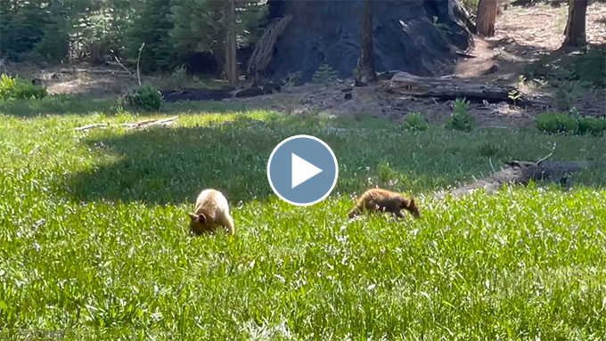
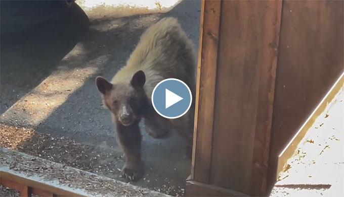
We also had another bear visitor while up working on the roof:
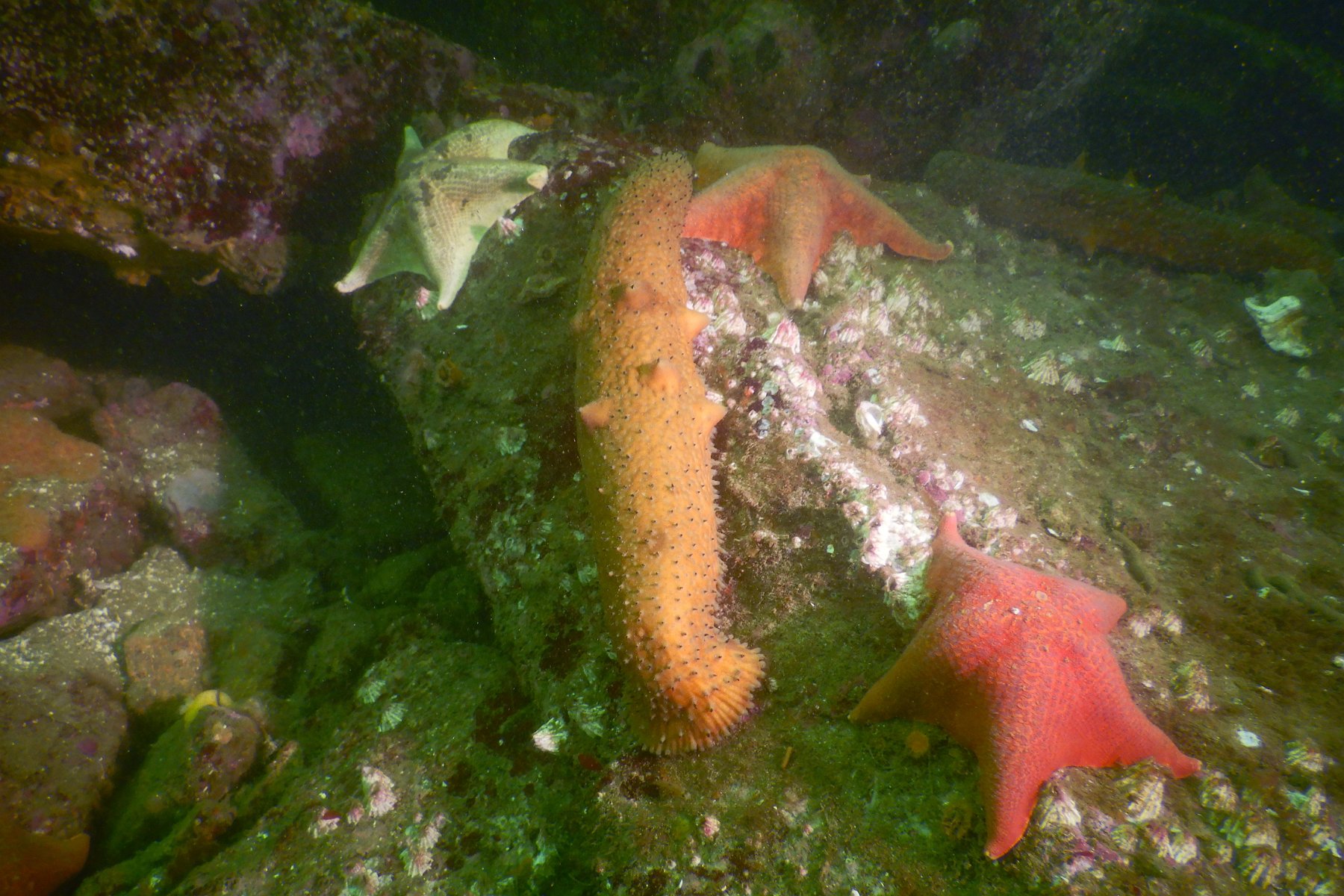
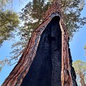
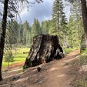
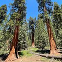
Click through for the full gallery: