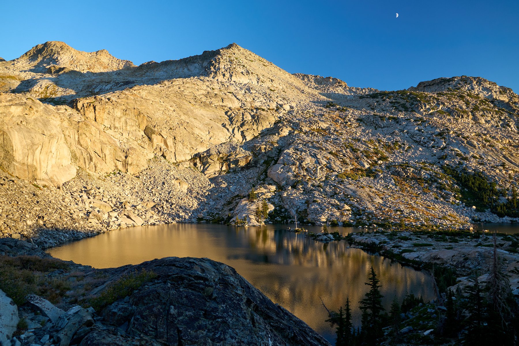
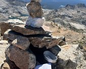
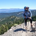
Darlene and I went for a short backpacking trip into the southwest corner of Desolation Wilderness (near Lake Tahoe), camping a couple of nights at Twin Lakes. We had nice weather except for the heavy and unrelenting winds each night. We spent our layover day making our way cross-country over and up to a nearby peak. Darlene chose to take a nice nap at the saddle, while I finished the climb up to the top for some tremendous views.
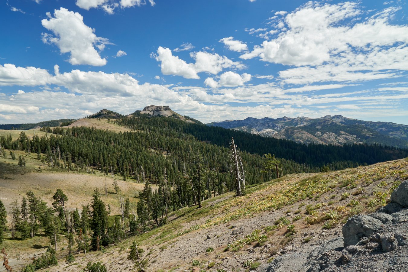
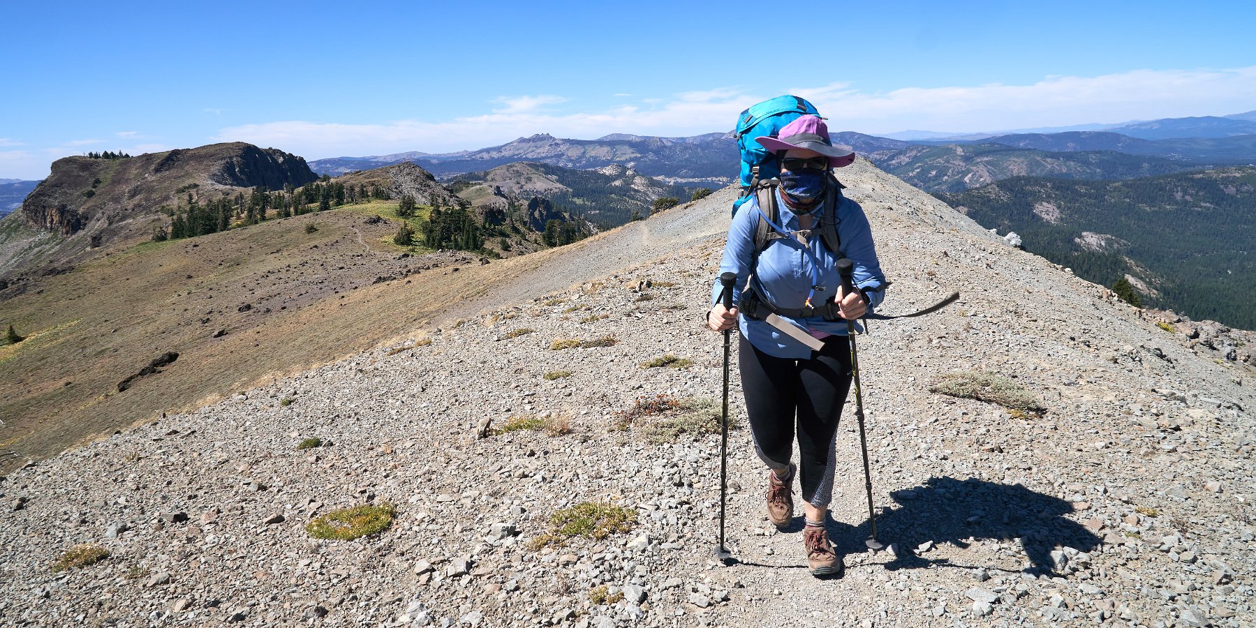
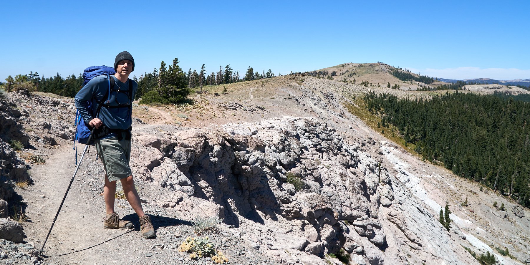
Darlene and I enjoyed a little three-day backpacking excursion along a tiny bit of the Pacific Crest Trail last week. We started at the Donner Pass trailhead and headed south for 10 miles towards Granite Chief (near Squaw Valley). Most of this section is walking a ridge line with wide open views in every direction. It was pretty windy the whole day but that seemed to keep away any threat of afternoon thunderstorms – which would be a bigger concern along this long, very exposed crest.
It’s actually a nice, gentle climb most of the way, climbing up from Donner Pass through the Sugarbowl ski area, past Anderson Peak and Tinker Knob before dropping down to the first potential opportunities for water between Tinker Knob and Granite Chief after about 9 miles. As it turns out, both Darlene and I had issues along the way that led to us moving super slow (me favoring a twinging knee and her with leg and hip troubles). As for water, the most reliable looking source turned out to be dry. With a bit of scouting, I found a tiny little spring hidden in the creek bed not too far from the trail crossing and so we camped nearby. (For any one looking for info on “California Section K” of the PCT, it was the stream coming off teeny Mountain Meadow Lake near the PCT intersection with Painted Rock Trail. The creek just south of Tinker Knob was still flowing though.)
Feeling much more sore and stiff than usual, neither of us felt up for doing much of a day hike or any peak climbing the next day so we just spent it hanging out and recuperating. Our return hike on the third day to Donner Pass went easily though (aside from a minor slip and fall and bloodied knee) and we enjoyed a gorgeous day with little wind on the ridge.
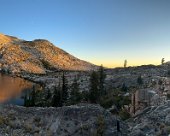
Darlene and I headed into Desolation Wilderness from the Meeks Bay trailhead on Lake Tahoe this Monday for three days, two nights of backpacking. This turned out to be a pretty easy going climb and less than five miles to the first lake (Genevieve) and a few more miles to where we camped at Stony Ridge Lake for both nights.
On our layover day, we continued on up to Rubicon Lake and then set off cross-country to reach the saddle to the southeast in hopes of a nice view overlooking Emerald Bay. Unfortunately, thunderclouds started coming in and we had to bail out before we could get to the overlook. On our way back down, we were caught in a surprisingly heavy hail storm and then had to dash down off the heights in the rain as the thunder and lightning approached. We returned to camp pretty soaked and moved everything a few hundred feet to a better location to wait out the storm. Happily the rain let up before the sun set for the day.
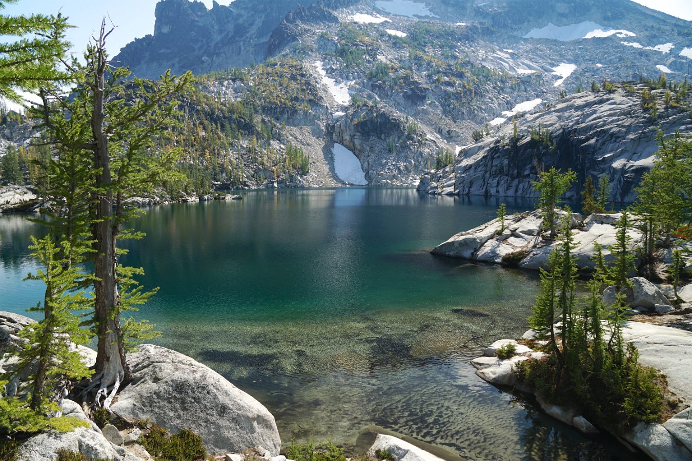
Leprechaun Lake (6875 ft) in the Enchantments core zone
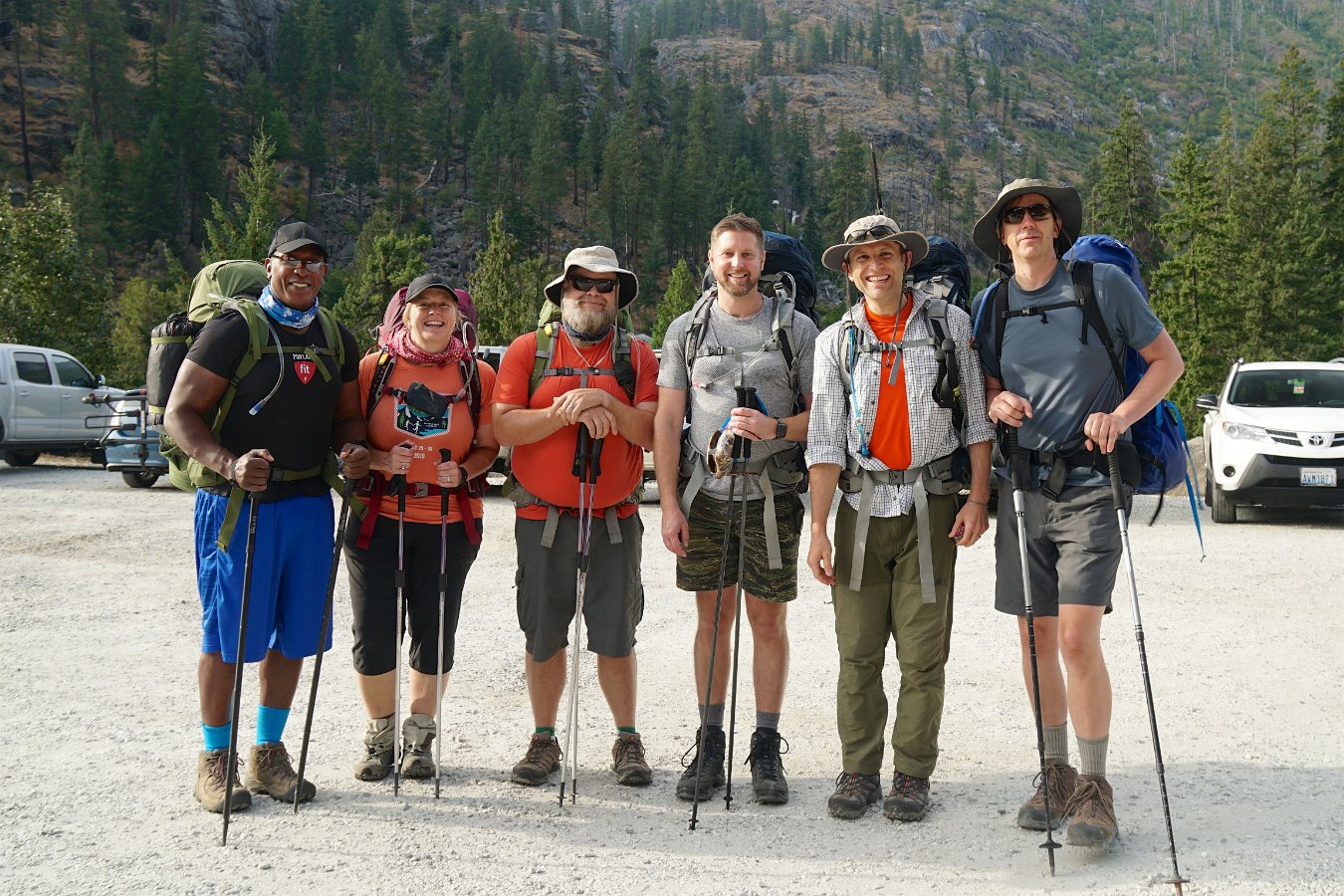
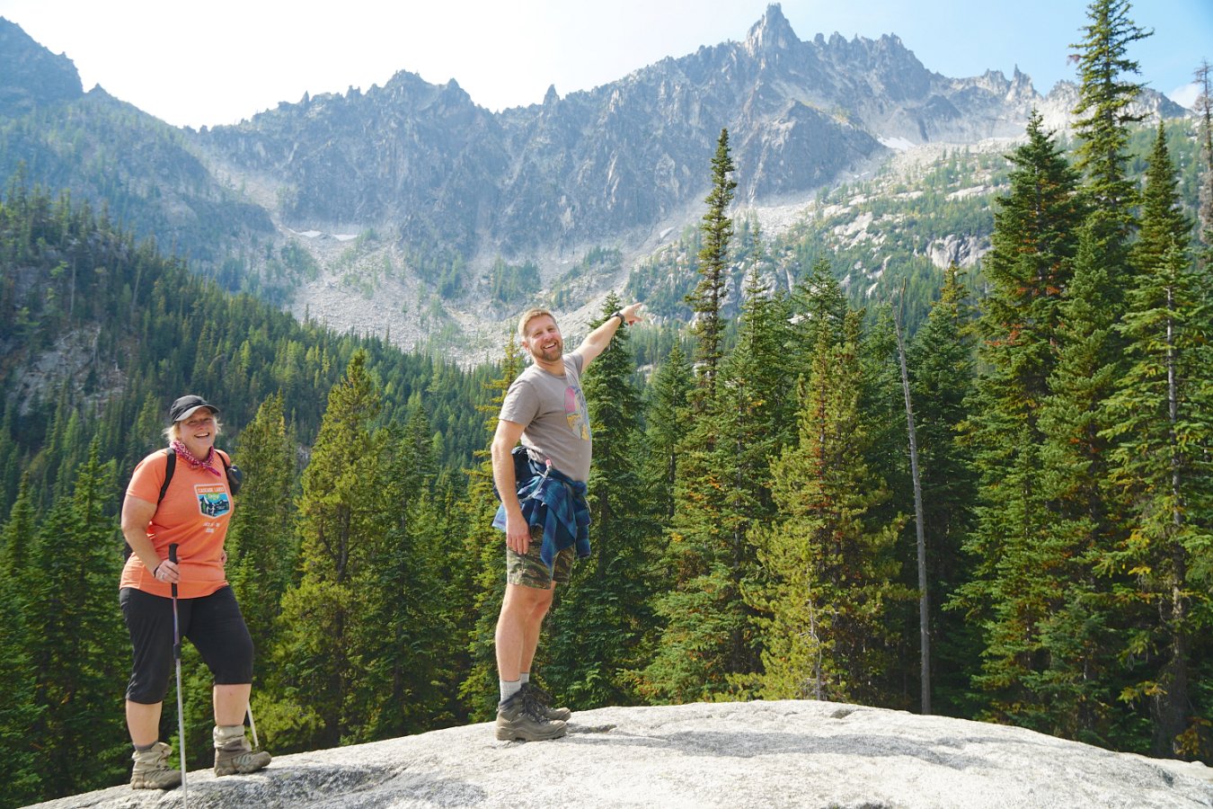
The Enchantments is a popular backpacking destination in the Alpine Lakes Wilderness area of central Washington state. It’s popular enough that you have to submit an application via a lottery system many months in advance (much like the Mt. Whitney trailhead). We managed to score a permit for the “Snow Lakes Zone” and I was able to join Glenn and Michele and several of their friends (John, Kyle and Fritz) last week in Leavenworth to start our four-day adventure. Unfortunately, Darlene had to bow out for a work-related conflict but we were able to make another backpacking trip to the High Sierra the week before.
It was looking sketchy with all the smoke from the wildfires across the northwest this summer, including a small wildfire burning in another part of the Enchantments area (closing off the other half), but we lucked out with some not-completely-unbreathable air the week we were there and even a remarkably clear day on our second day.
Ready for a nice long climb from the Snow Lakes trailhead
On our first day, we hiked from the Snow Lakes trailhead at about 1400 ft and climbed about 4000 ft over eight or nine miles to the far side of Snow Lakes. It’s a lot of elevation but it’s spread out fairly well and, except for a couple of large rockfalls, the trail is in good condition and there’s plenty of opportunities to get water. Part of Snow Lakes is used as a reservoir and it was down some 20-30 ft when we arrived – apparently drained like a bathtub by an underground aqueduct that shoots a huge jet of water out the side of the mountain above Nada Lake. We camped alongside some of the exposed beach of Snow Lakes for two nights.
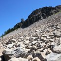
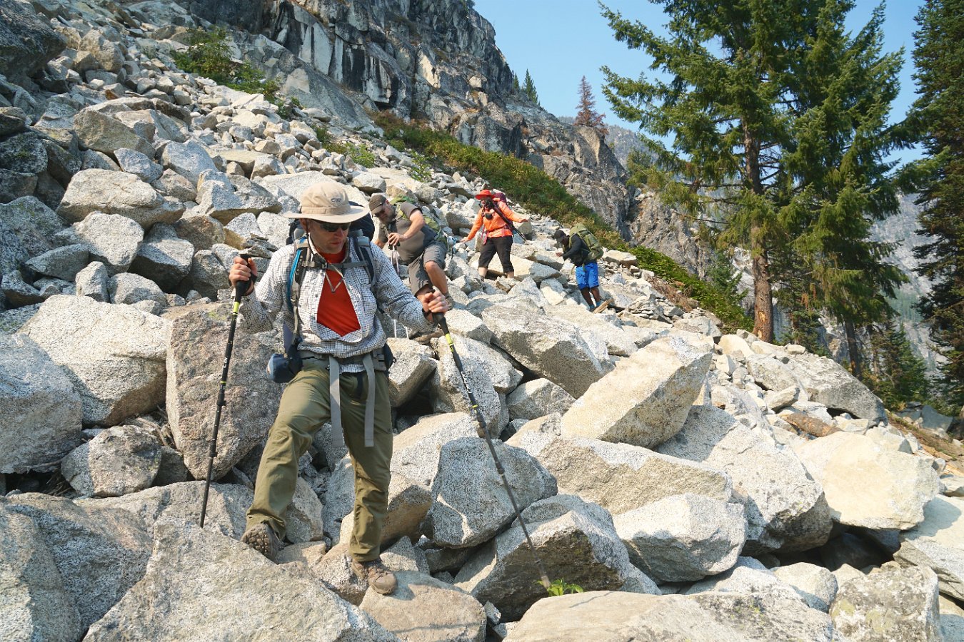
Working through the rockfalls between Snow Lakes and Nada Lake
Glenn and Fritz “volunteered to keep watch” over our campsite the second day as the rest of us headed up over the western ridge from Snow Lakes to the “core zone” of the Enchantments area. That turned out to be not so much a trail as a rocky mountain goat path, scrambling up over granite outcroppings. It was hard to picture carrying a full 40-pound pack over that but many people do the Enchantments as a 18+ mile through hike. The craziness of that trail aside, the many lakes of the core zone were lovely, though we only went as far as the shore of Perfection Lake (while looking for mountain goats) before making our return to our camp.
Climbing the pass from Snow Lakes up over the ridge
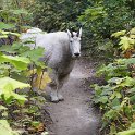
On our third day, we packed up camp late in the morning and headed down the short distance through the rockfalls to Nada Lake, with a brief sojourn to the more natural looking half of Snow Lakes – where we stumbled into a small herd of deer who were remarkably unconcerned with our presence. We camped along Nada Lake at the base of a huge rockfall of massive boulders that extended all the way up the mountain. And on our last day, we got a close encounter with a family of mountain goats as we made a leisurely hike all the way back down to the trailhead.
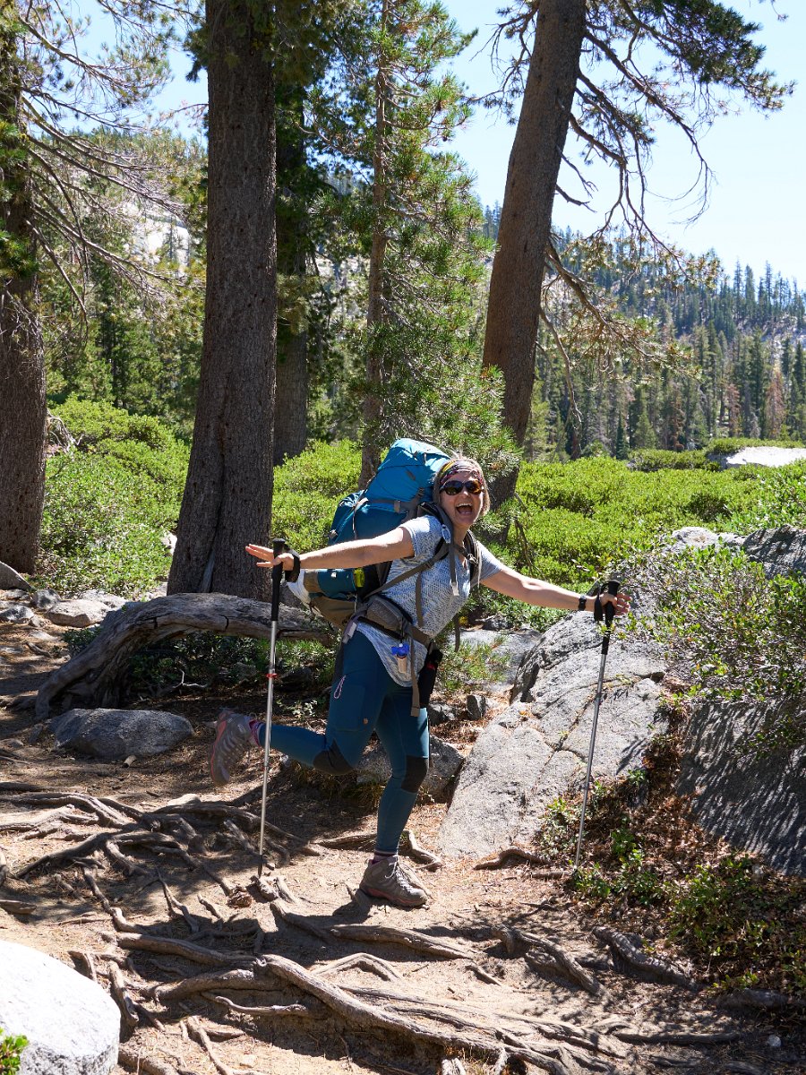
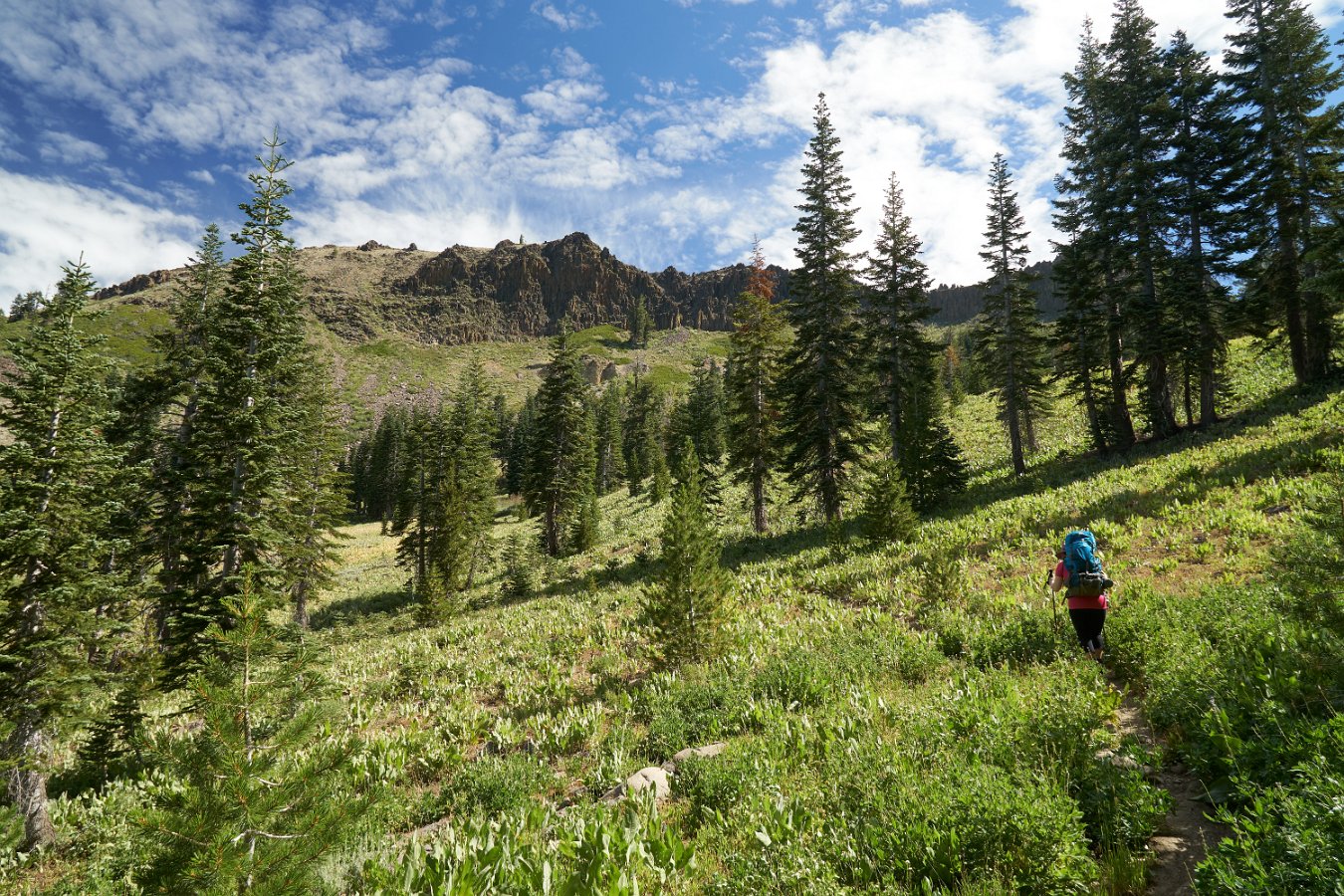
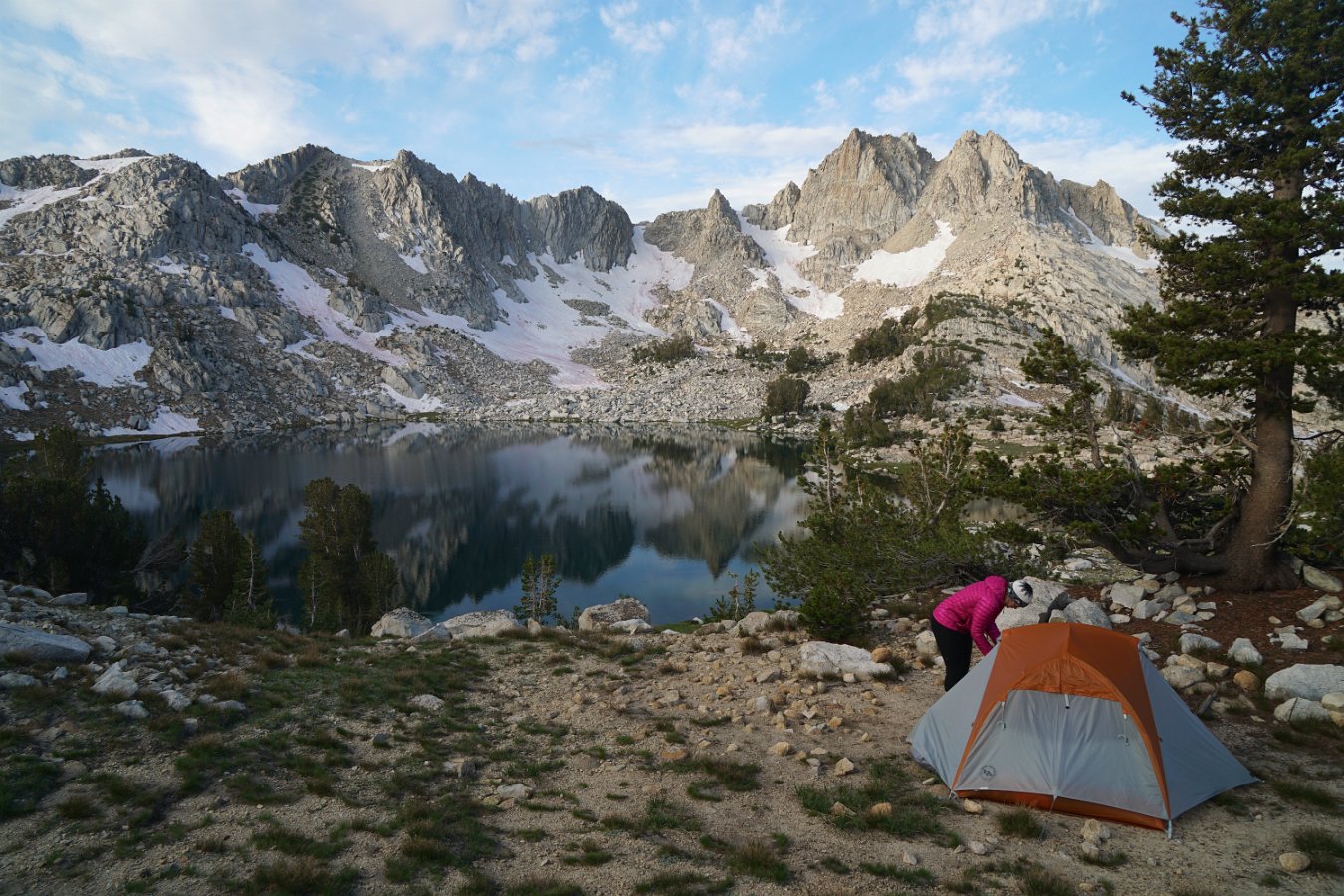
I had promised Darlene a substitute backpacking trip when we found out she would no longer be able to go on our upcoming backpacking trip in Washington state. We were able to take four days over the Labor Day weekend and I picked out a promising area that I hadn’t been to north of Lake Thomas A. Edison that would give Darlene another taste of the High Sierra.
We took off Saturday afternoon amid some unusual high temps as well as heavy smoke that had blown down from numerous wildfires in Oregon and Northern California. It was a five and a half hour drive to get to the trailhead, including an interesting drive over a very rough, one lane road from Huntington Lake that goes over Kaiser Pass at 9184 feet. We found a spot to camp along the road near the High Sierra Ranger Station on Saturday night and to wait to get a wilderness pass in the morning.
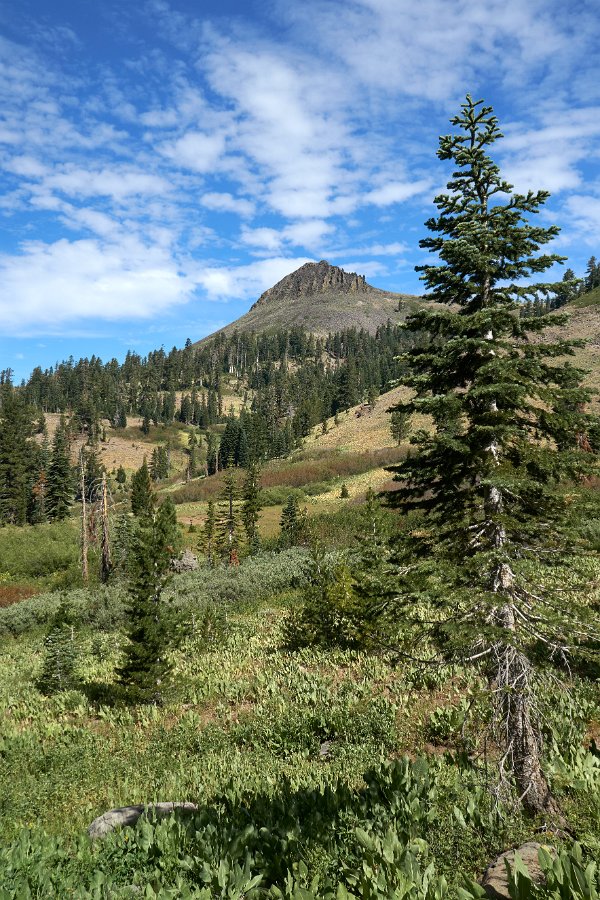
A meadow along Silver Pass Creek
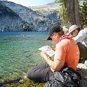
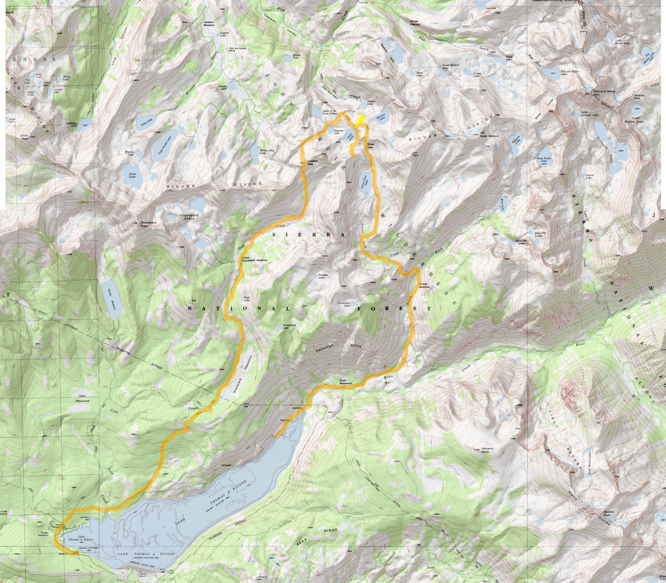
We had our pick of numerous trailheads near Lake Edison but settled on doing a loop up and over part of the Silver Divide by following the John Muir Trail / Pacific Crest Trail over Silver Pass and then returning via Goodale Pass. (View map.) The smoke from the distant fires was still pretty heavy and worrisome on Sunday morning but we managed to just barely catch the backpacker’s ferry boat across Lake Edison and that cut out four miles of hiking our way around the reservoir to get started. From the ferry landing (7643 ft), it’s about nine miles to the top of Silver Pass (10,900 ft).
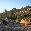
Our room with a view over Chief Lake at 10,400 ft.
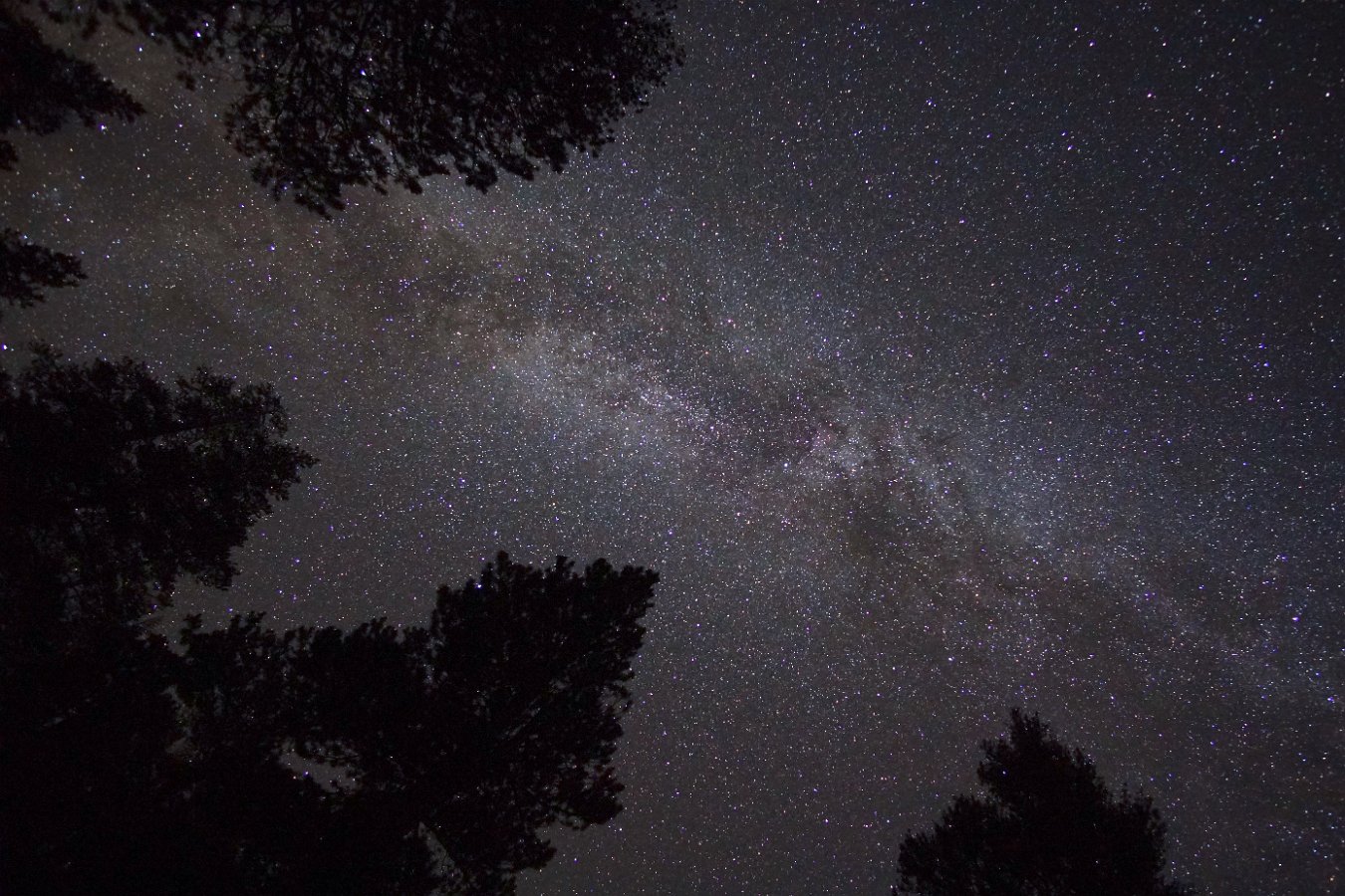
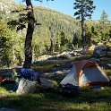
There’s lots of small, alpine lakes scattered along the divide and we found a lovely spot to spend two nights overlooking Chief Lake just below Silver Pass at about 10,400 ft. Thankfully the smoke wasn’t too bad at altitude and it mostly cleared out overnight with the winds and occasional brief showers. Not much to see in the way of stars though with a very bright full moon on display.
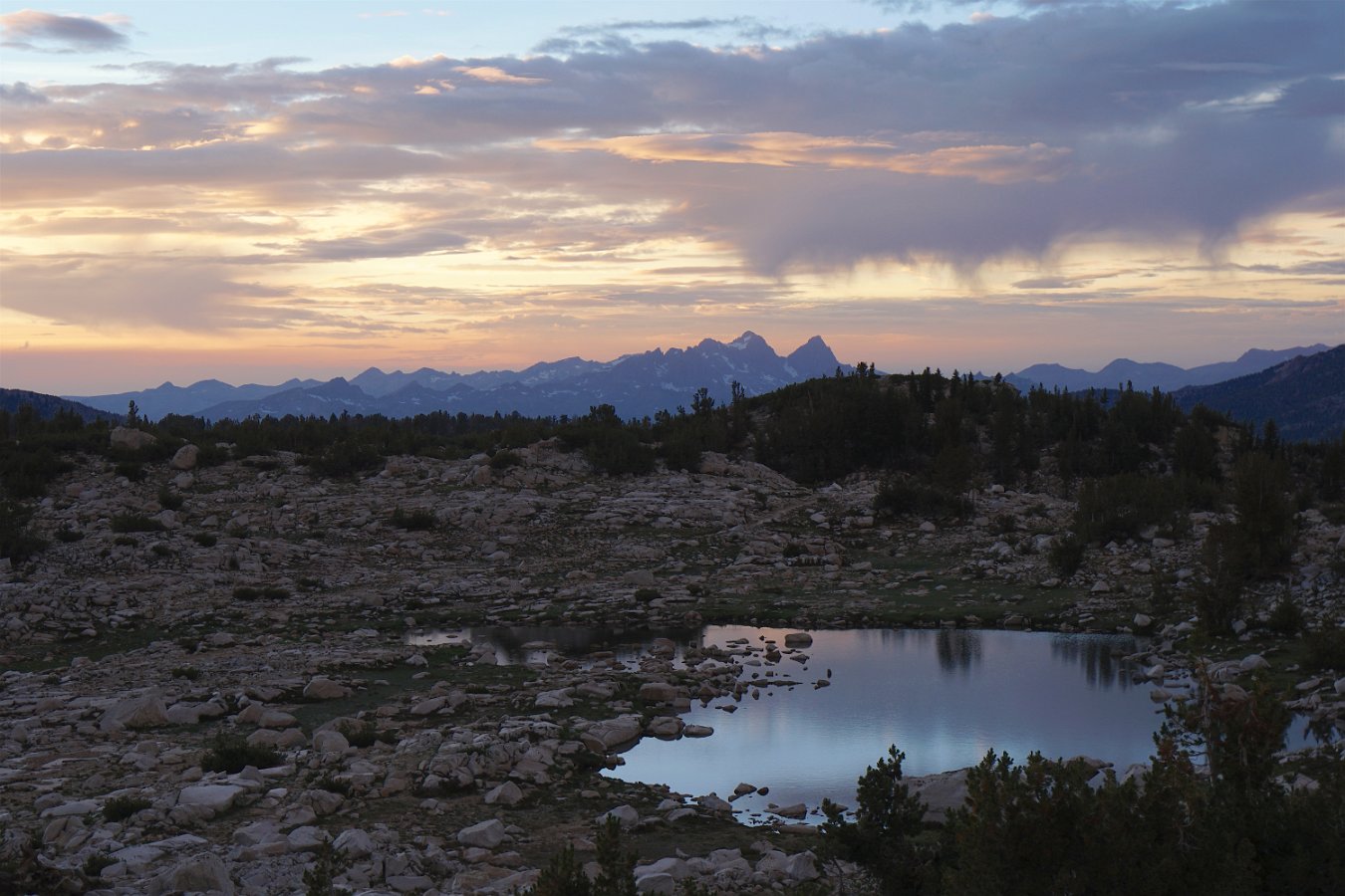
Sunset skies over the distant Minarets to the north
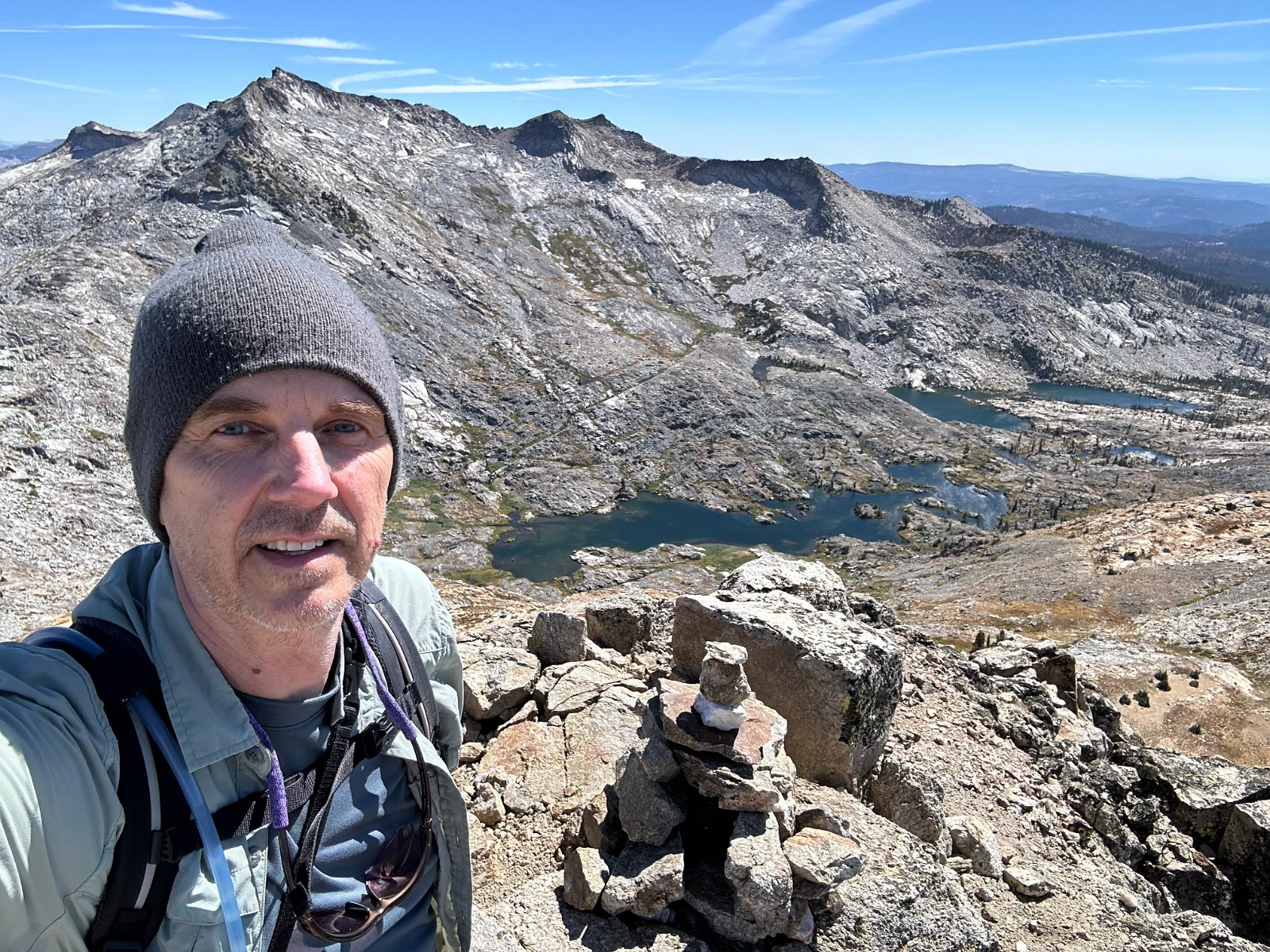
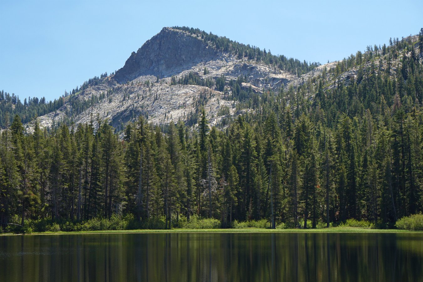
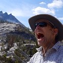
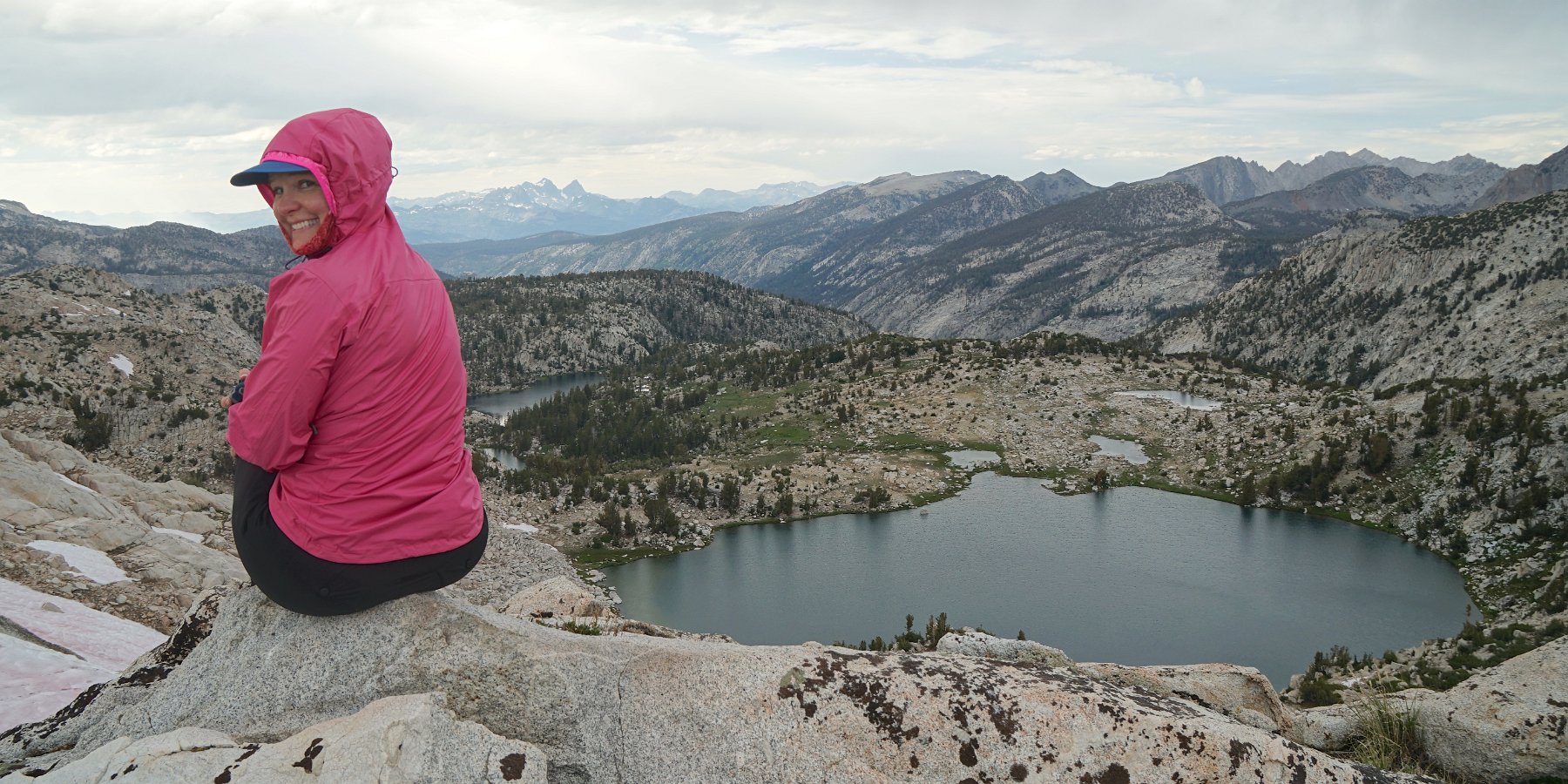
In the morning, we were treated to views of the distant Minarets (part of the Ritter Range) up near Mammoth. There were a good deal of mosquitos in the morning and evening but not as much as I had feared given our really wet winter this year. The weather alternated between periods of sunshine and heavy clouds with brief sprinkling while we ventured up a nearby ridge on the Silver Divide to get some more stupendous views of our surroundings.
Enjoying the panorama perched on a ridge above Silver Pass
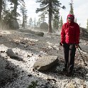
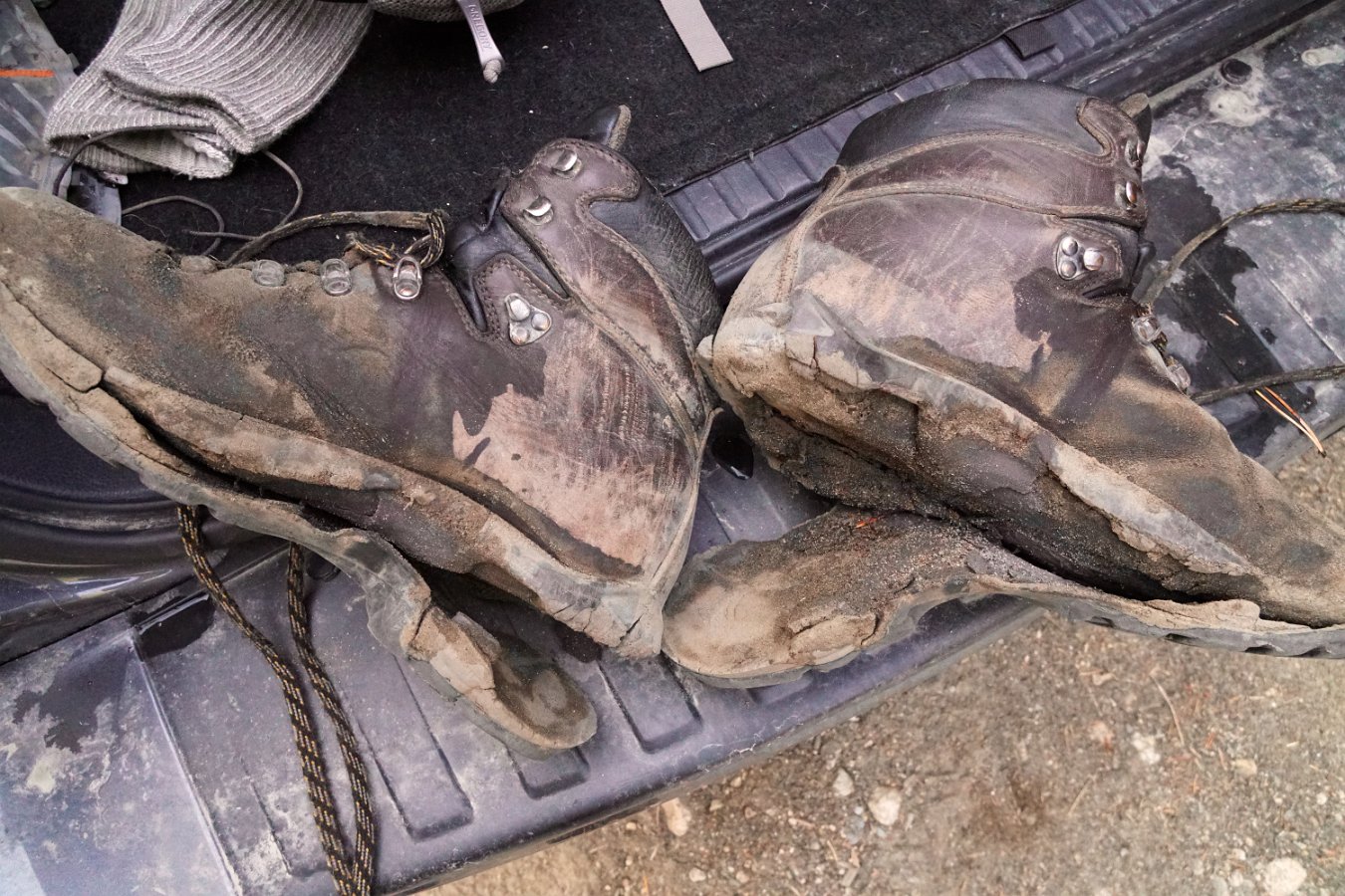
Monday night was tough to sleep through as we had hours of heavy gusting winds but eventually it quieted down. Our return journey on Tuesday was about 12 miles over Goodale Pass (10,997 ft) down to the Vermillion Resort on Lake Edison. However, it was clear my boots were not going to make it – the soles were completely disintegrating. They’re probably also why I lost my footing and ended up crashing into a creek when I attempted to push off one rock to leap to another. I ended up using my shoelaces to tie the soles to the bottom of my shoes and keep them from coming completely separated before reaching the end of the trail. I might need some new boots now though.
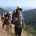
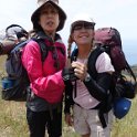
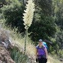
Pictures from a four-day backpacking trip last week with Darlene, Laura and Rachel into the Ventana Wilderness, south of Big Sur and below Cone Peak – click through for the full gallery:
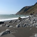
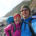
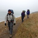
Darlene and I joined Abhi, Komo and Anjali on a backpacking trip along part of California’s “Lost Coast”, led by Mike through the Outdoor Adventure Club. The “Lost Coast” is a remote and undeveloped stretch of coastline in northern California, north of Fort Bragg and south of Eureka. We hiked the northern section from Mattole Beach down to Black Sands Beach (near Shelter Cove) over three days, August 9th-11th. Due to the steep coastal terrain, you’re often hiking the beach – several long sections of which are impassable during high tide and so you need to plan around the tide tables.
Click on through for my gallery of pictures and videos, including some from Darlene, Abhi and Mike:
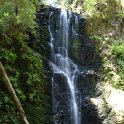
Darlene and I hiked into Big Basin State Park on Monday and stayed overnight at the Sunset trail camp near Golden Falls, Silver Cascade and Berry Creek Falls, about five and half miles from the overnight parking near the park headquarters. This trail camp (reservations required) has ten permitted sites that are nice and well-shaded but it is a bit of a walk to get to the creek for water. Unfortunately the mosquitos were pretty bad in the evening and it made it difficult to enjoy dinner but we hid out in the tent on Tuesday morning until they eased up.


