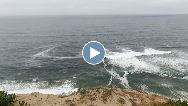
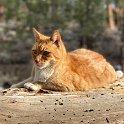
We drove out to the sea cliffs near Pescadero Beach this morning to see if we could spot some whales. We lost the sun on the way over but we did get to see what I think were gray whales as they swam near us for a while:
Tag: California
Onward to Lassen
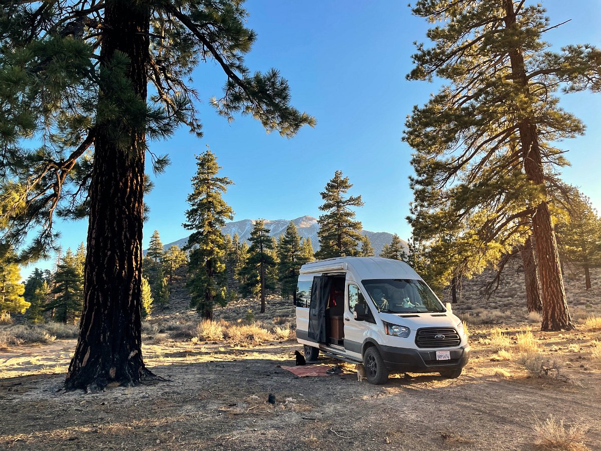
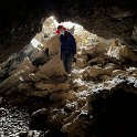
After a couple of days layover in Tahoe to ski some new snow and repair the van (a badly installed anti-sway bar), we headed off again – north this time towards Lassen National Park. Along the way, we spent an afternoon riding as far as we could (before being turned back by snow) up the Mills Peak Lookout trail near Greagle, checked out the Subway Cave near Old Station, wandered around some rough forest roads, visited Burney Falls – and in Burney I was finally able to snag a covid vaccination shot!
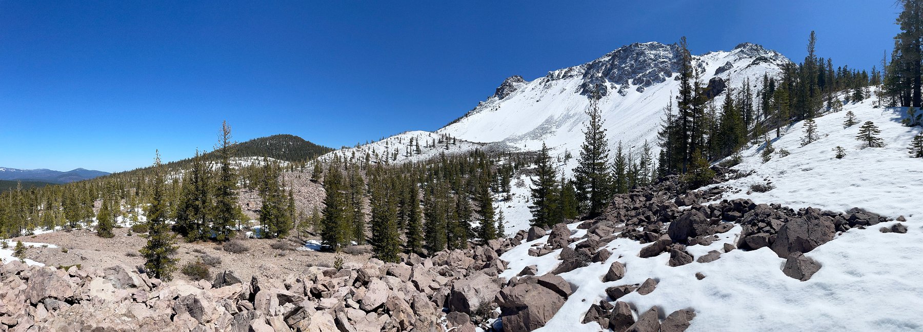
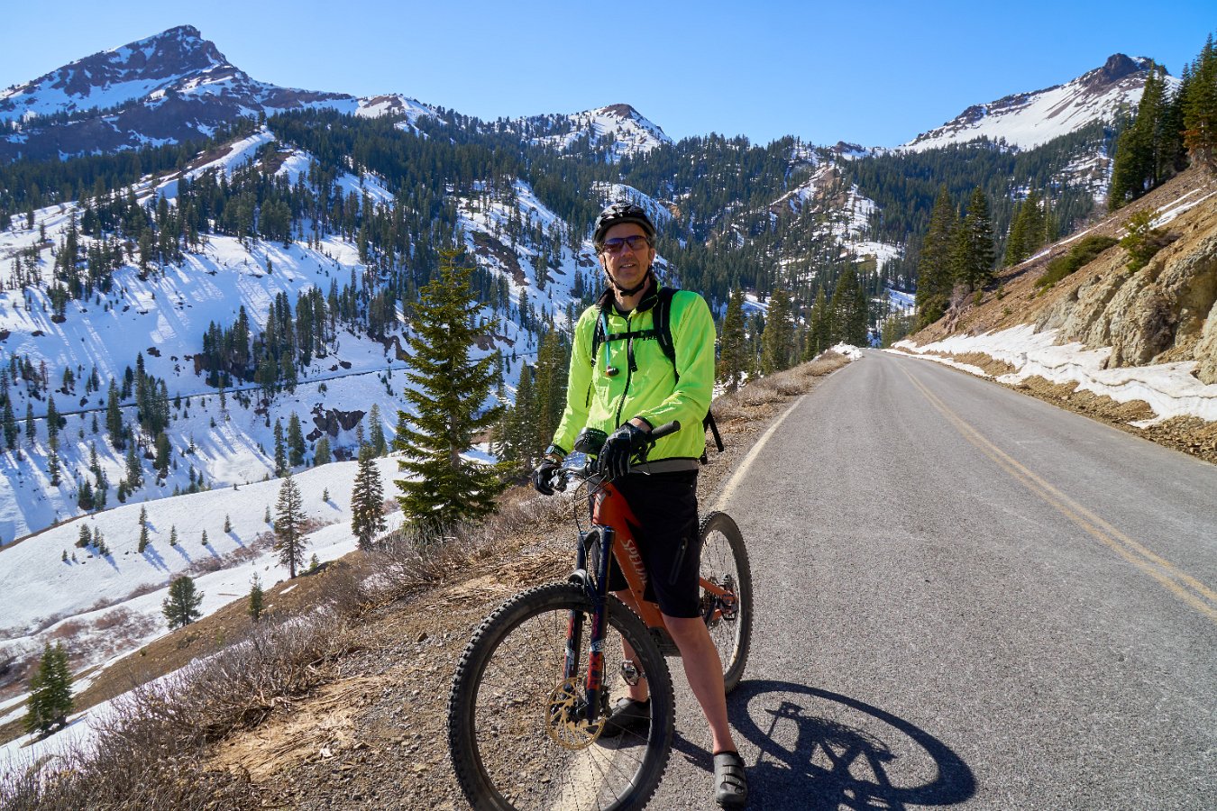
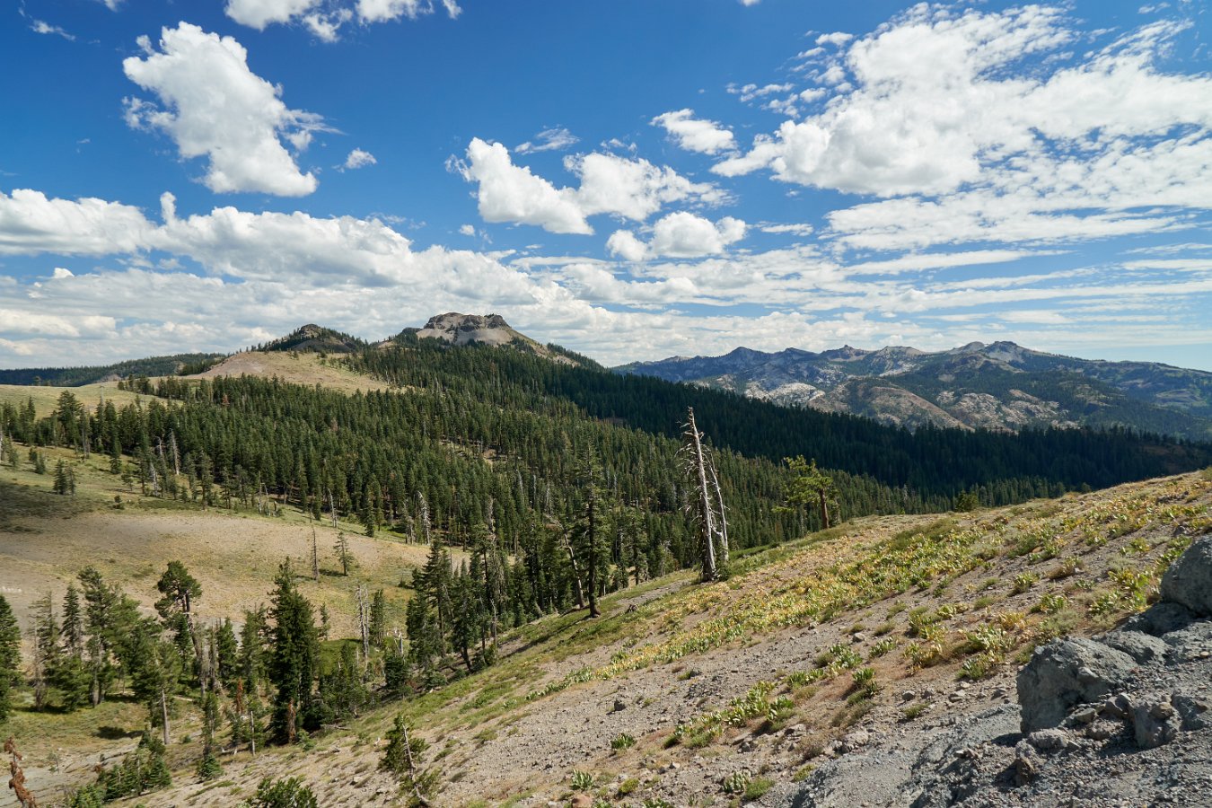
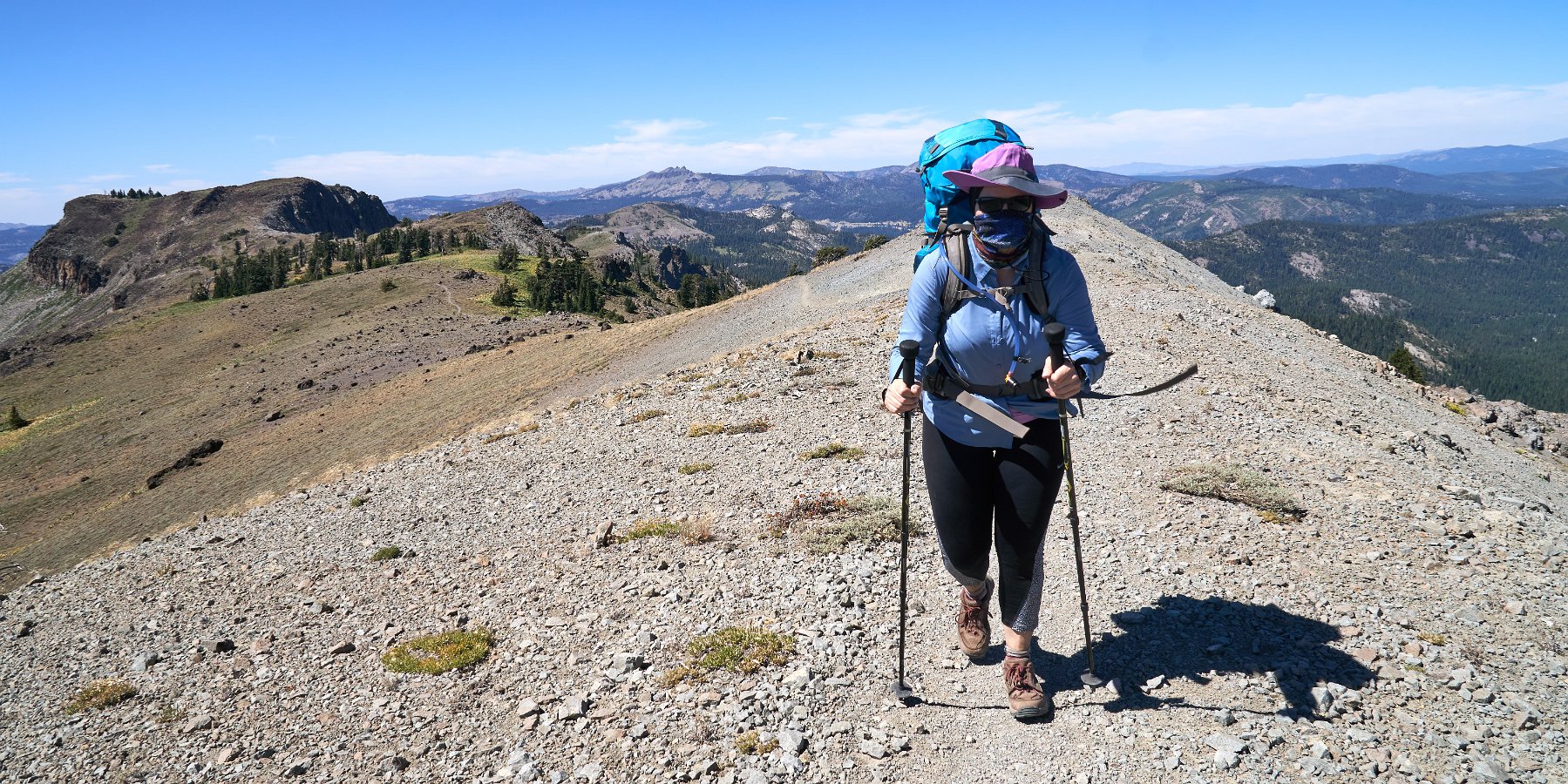
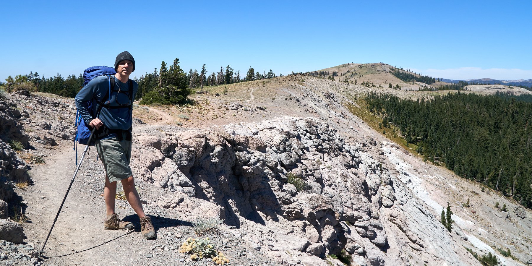
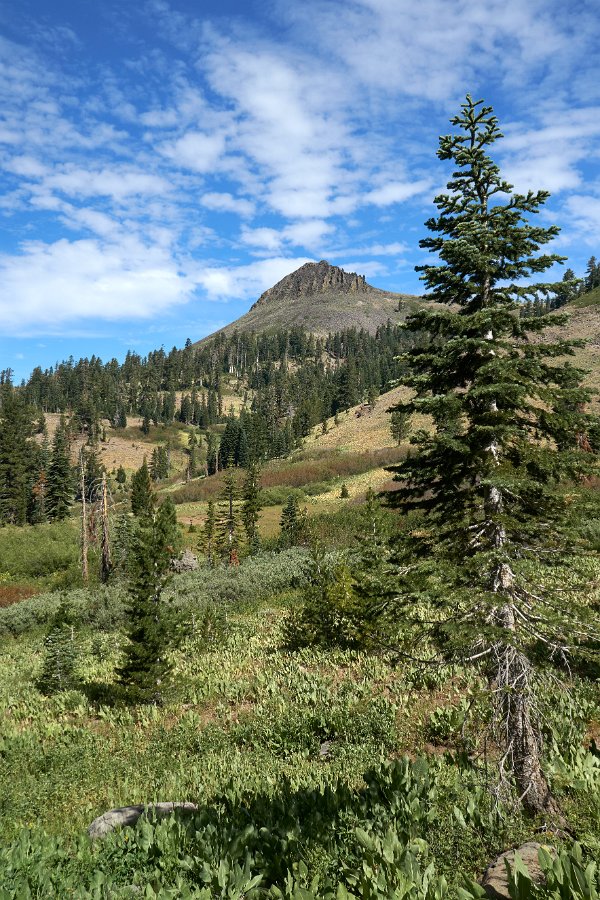
The highway through Lassen was still closed to vehicles as they continued to clear the snow but open to biking which made a lovely ride to the top from the southwest entrance. We made two attempts at hiking the Chaos Crags trail on the other side of the park (after getting caught in a thunder and hail storm) and pushed past the still snow covered road to check out the Fantastic Lava Beds area.
Early Spring in the Eastern Sierra
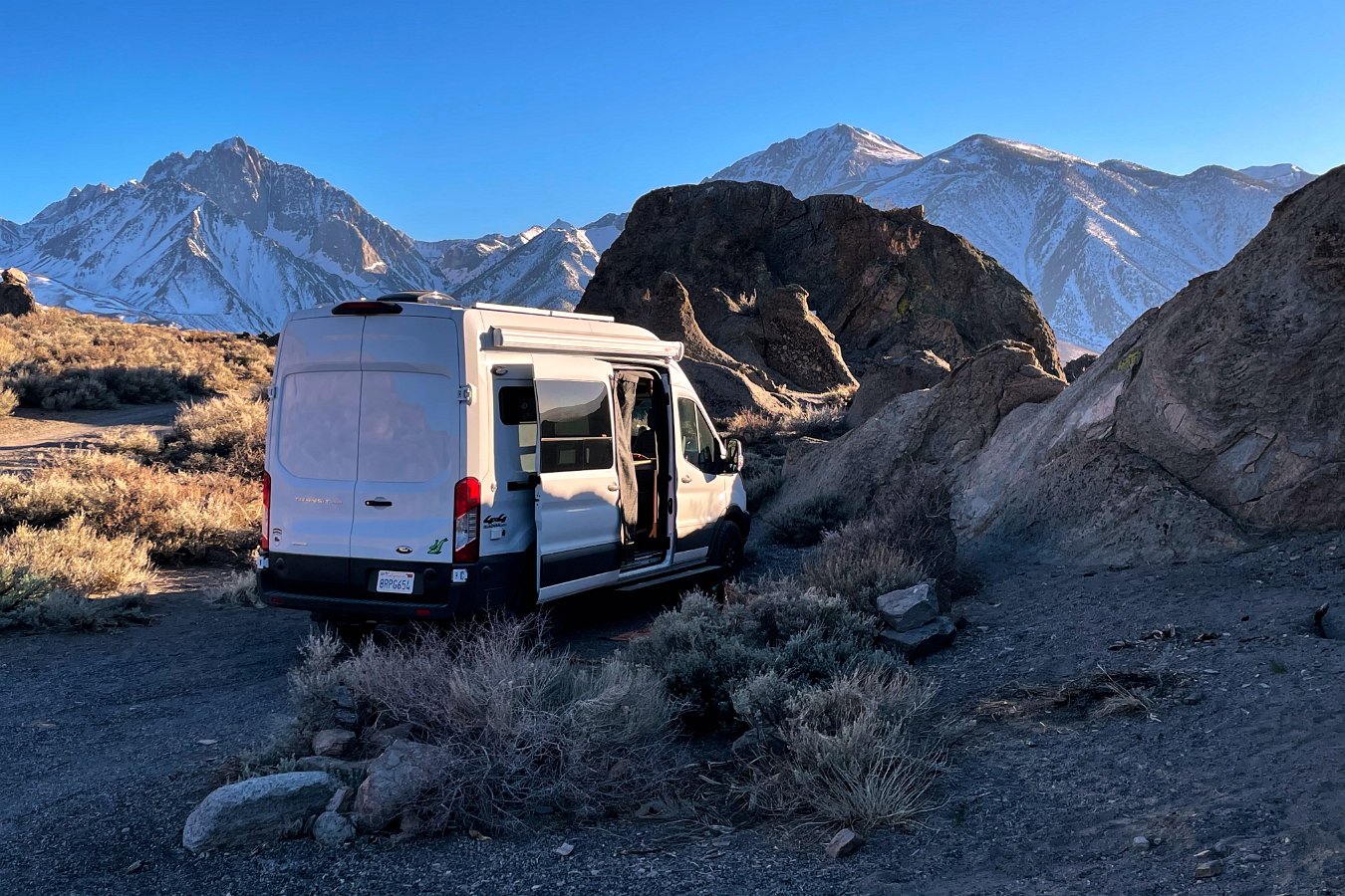
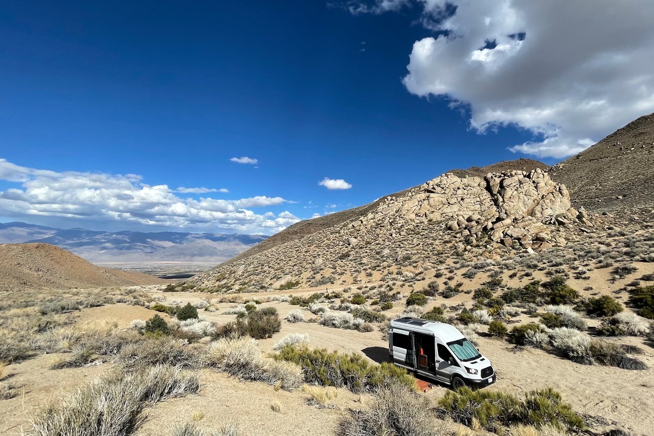
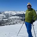
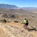
Darlene and I loaded up the cats and the camper van in late March and headed out for an extended, month-long trip. After a few days of skiing at Alpine and Homewood from the Tahoe house, we headed down to Bishop and Mammoth for some more skiing, as well as mountain biking and other exploration in the surrounding area for a few weeks while camping out on public lands.
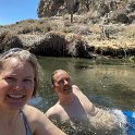
We biked around the Mono Craters area, found a nice wading pool just outside the now closed off Mammoth Hot Springs, hiked up to the still frozen South Lake and bailed out of a swim in the still-quite-cold Owens River near Bishop.
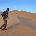
Despite all the time I’ve already spent in the Eastern Sierra (including attending high school in Bishop), we managed a few new adventures like biking up Coyote Valley Road, skiing at June Mountain, visiting the exposed “tuff” formation along Crowley Lake, winding through Chidago Canyon, visiting the petroglyphs along Fish Slough Road, and finding an eagle’s nest (with chicks!) in the Owens River Gorge.
In mid-April, it looked like a bit of snow was going to mostly hit the Tahoe area, so we headed back up to Tahoe for a few days to catch a bit of it before heading out again and north to Lassen.
Oh yeah, and we broke the van on a particularly rough road near Mono Craters – started hearing clunking noises from what turned out to be a very badly installed anti-sway bar.
Bald Eagle Chicks
While wandering the Eastern Sierra around Bishop and Mammoth, Darlene and I came across a high vantage point along the Owens River Gorge overlooking a bald eagles nest – with chicks! We came back the next morning and waited around a couple of hours – long enough to see the second parent eagle bring back a meal to feed the chicks:
Joshua Tree and the Mojave Desert
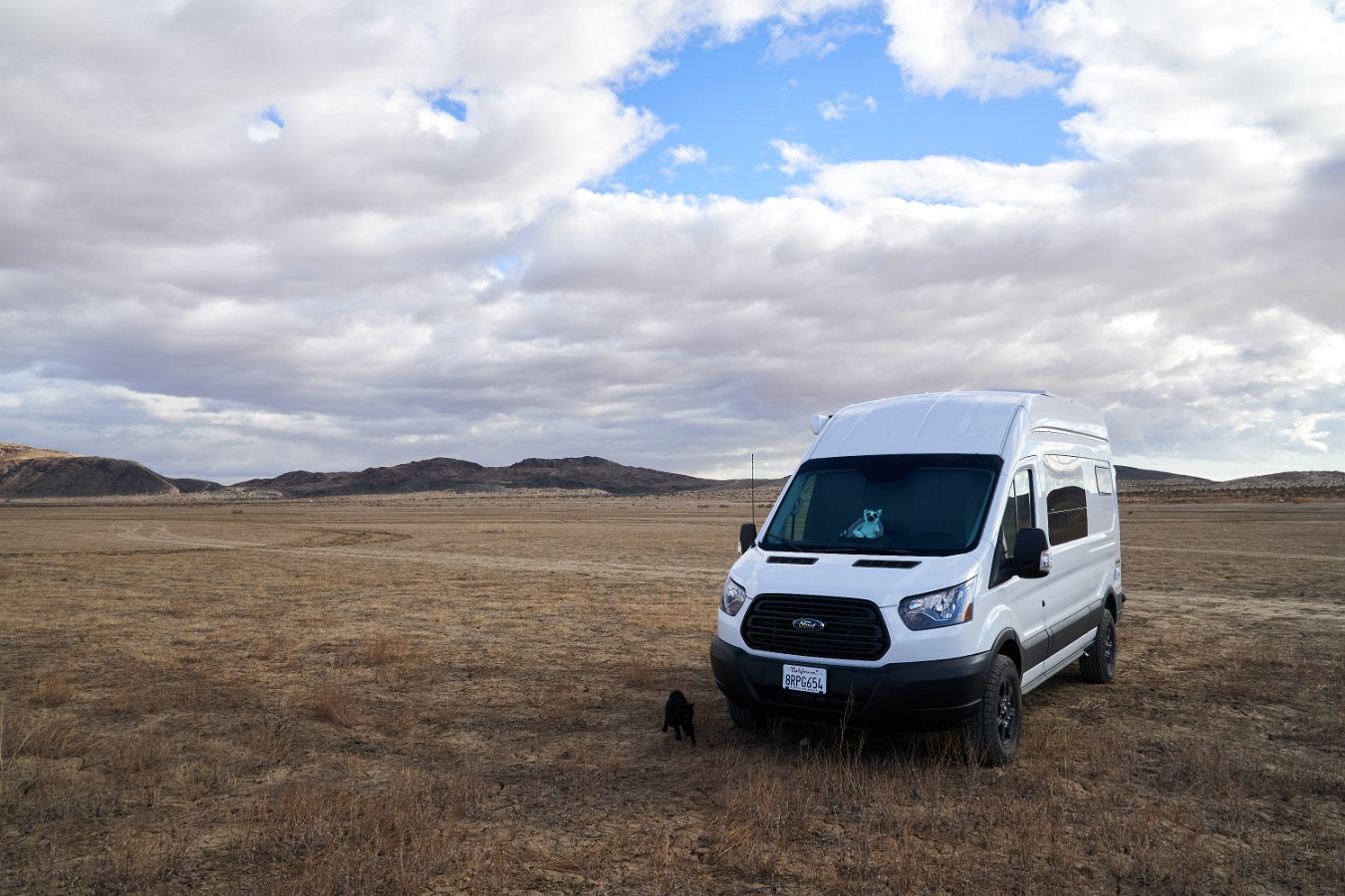
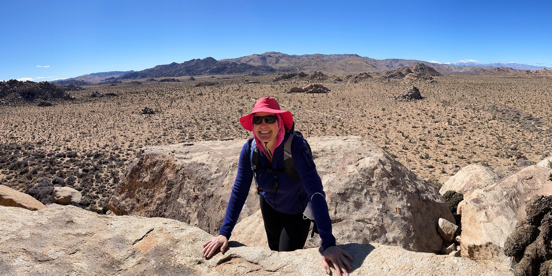
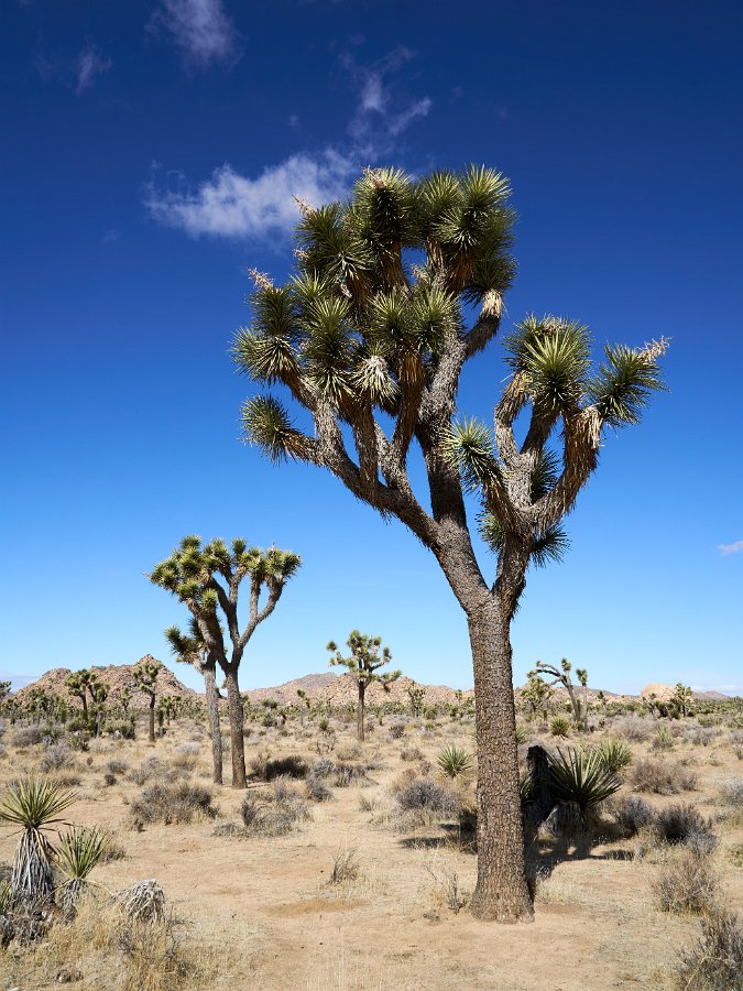
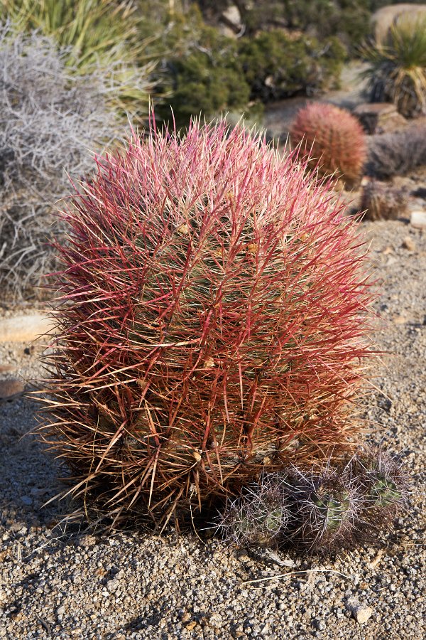
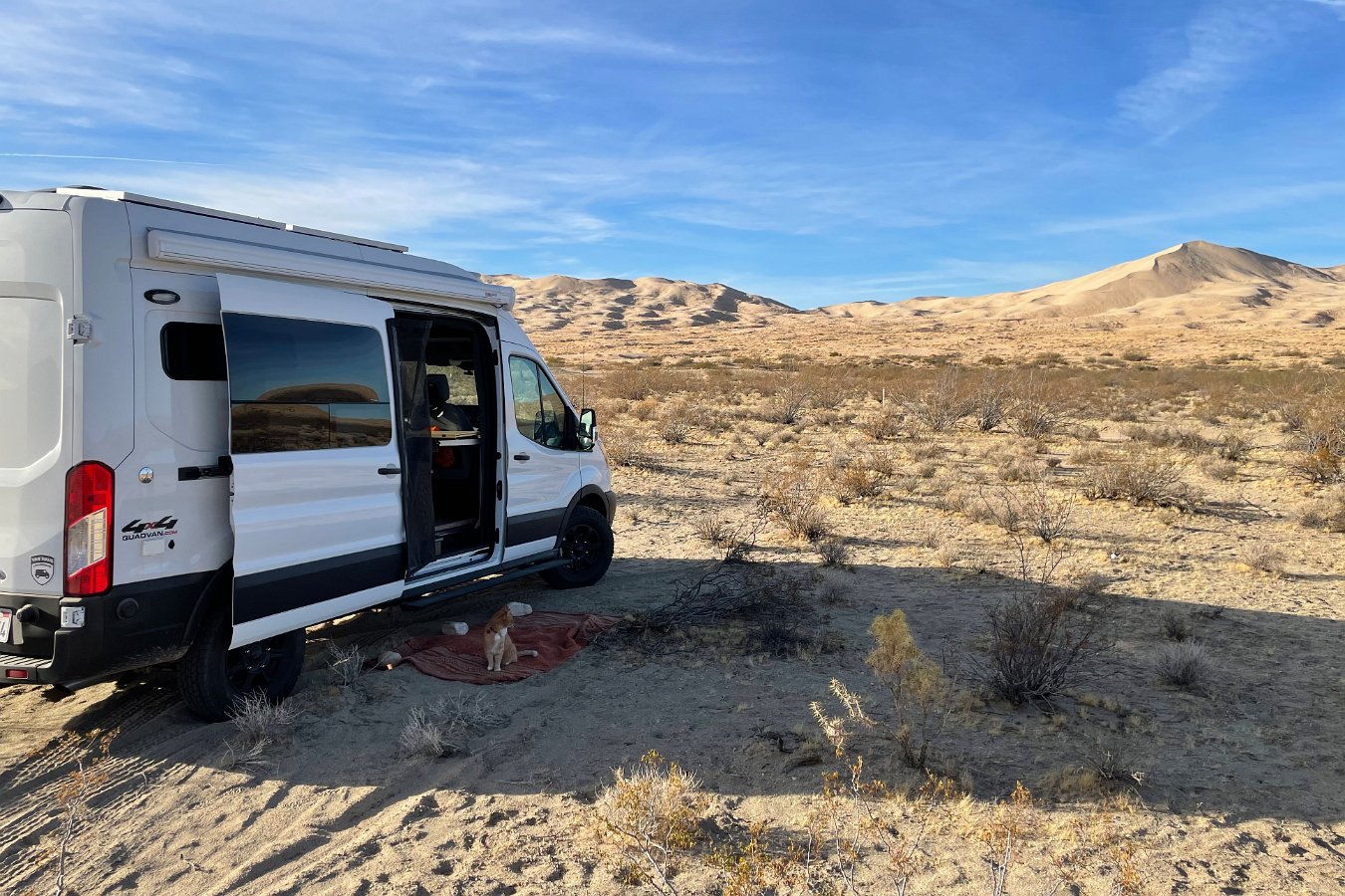
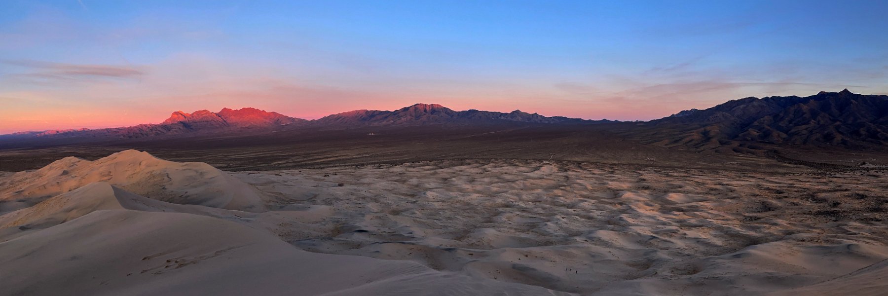
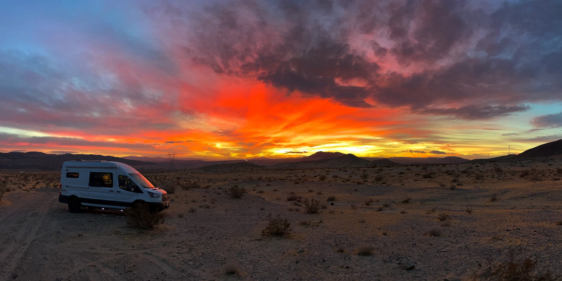
After the long delay in building out the van due to Covid-19 shutdowns, keeping indoors from the widespread smoke and wildfires, dealing with several pet health issues (and emergency), then more Covid lockdowns across the state, we were finally able to take the Traveling Cat Adventure Van (II) out on a week-long maiden voyage. We headed south to Joshua Tree National Park and the Mojave National Preserve, away from the storms and snow in the mountains.
All the campgrounds across the state had been closed until recently and not surprisingly, all the campgrounds were already booked up in Joshua Tree and the first-come, first-serve sites filled by Thursday afternoon when we arrived. Not a big deal though as there is dispersed camping allowed in the BLM land just north of the park in and around the Coyote Lake dry lake bed. As the nearest national park to the greater Los Angeles area, Joshua Tree was already fairly busy on Friday but turned crazy busy on Saturday so we moved on to the much quieter and deserted Mojave National Preserve on Sunday.
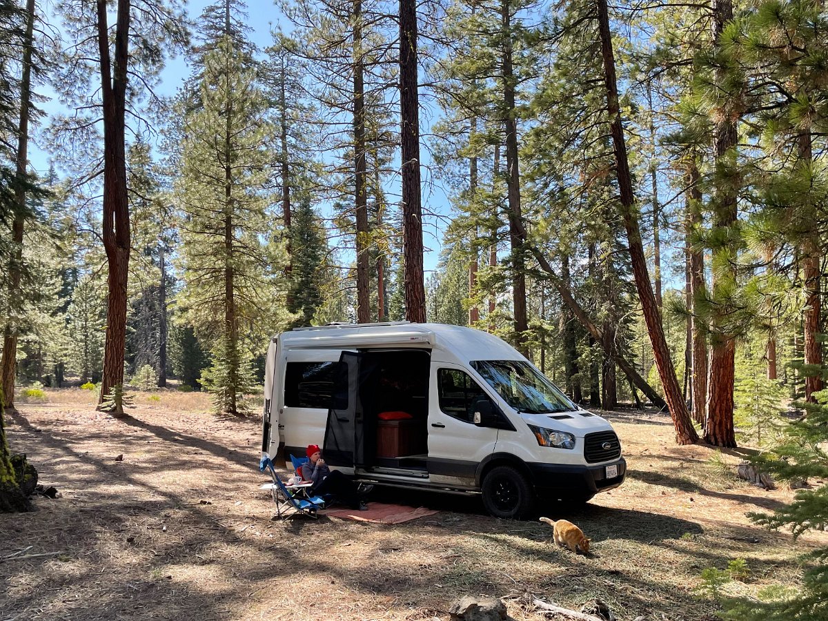
The van proved to be super comfortable and worked well for the two of us and the cats, including having to hunker down multiple nights in the midst of heavy wind storms. We can easily see spending any amount of time (weeks or months) traveling and living out of the van. And with the smaller size, it’s so nice to be able to easily go and park anywhere, unlike the previous 25-foot Leisure Travel Vans RV.
Skiing Through a Pandemic
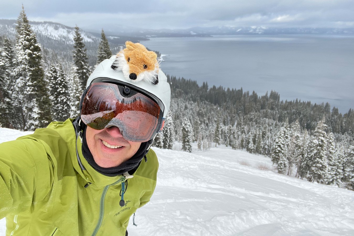
In mid-January, we migrated up to Tahoe to spend a few weeks in the snow. Darlene didn’t feel up to skiing with her current hip and ankle issues so I was just skiing solo, going out every other day while she kept busy at the house.
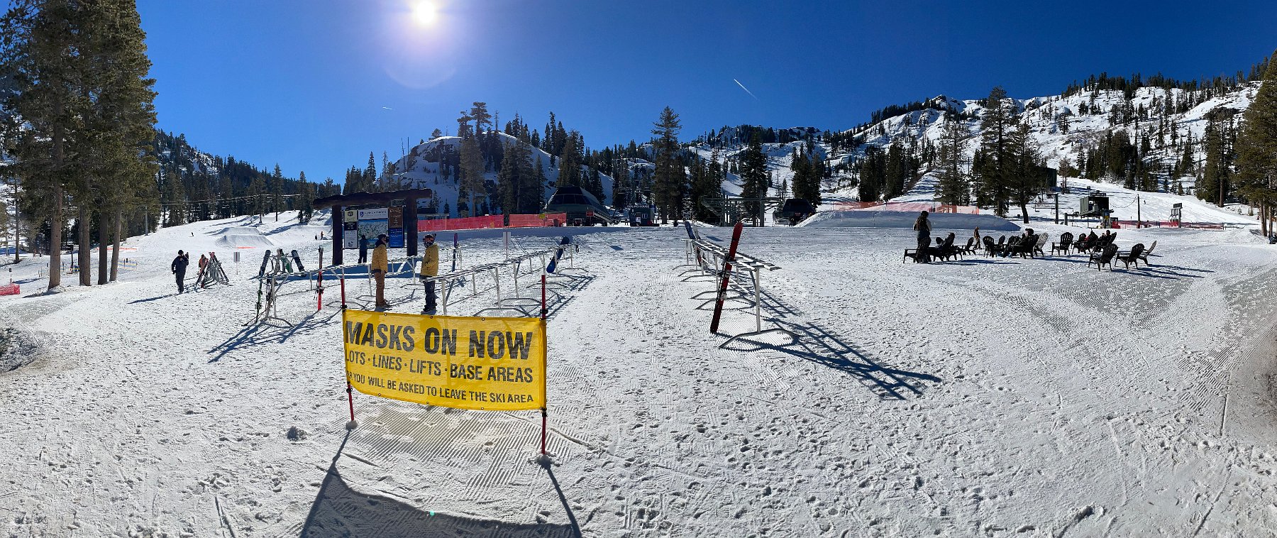
All of the resorts have implemented rules to keep folks from spreading the virus, like face coverings and social distancing around the lifts and resort, but of course you still see the usual sampling of not helpful behaviors. I went to Alpine Meadows and Squaw Valley on the quiet mid-week days and Homewood on busier days – around weekends and fresh powder days – so it was possible to avoid lift lines and sharing lift chairs. (Sharing a six-person chair with one other rider seemed fine though.) I planned on Northstar a couple of times, but one day the pass was closed due to a big rig slide out and the other day I saw how the required parking lot bus was loading up with people and decided to go elsewhere – plus it would seem that they’re insisting on loading solo riders every other seat on the chairs. I’m not so keen on that despite the open air.
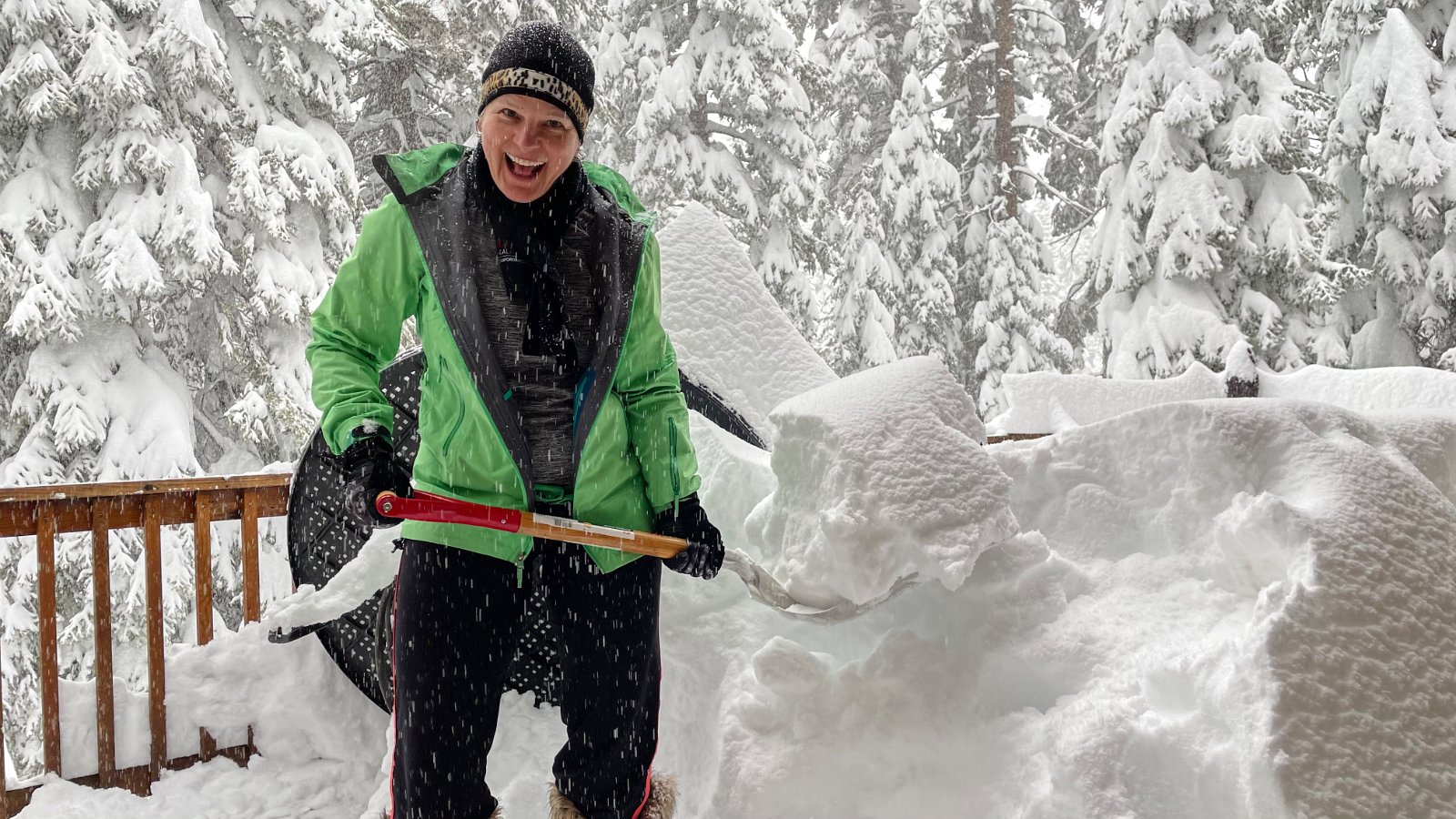
Started out with limited snow and seriously hard frozen stuff anywhere off the groomed runs from several weeks of warm weather but happily we then got a cold front and multiple heavy snows (5+ feet) over a week or two. Lots of powder to play in. Meanwhile, back at the house, we “relocated” a series of squirrels over a couple of weeks but I’m not sure we’ve caught the culprits living inside the vaulted ceiling.
Fire and Smoke and Evacuations
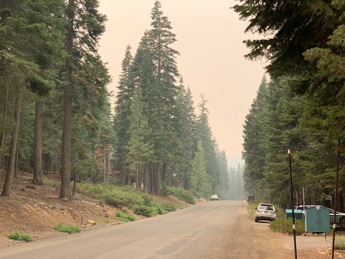
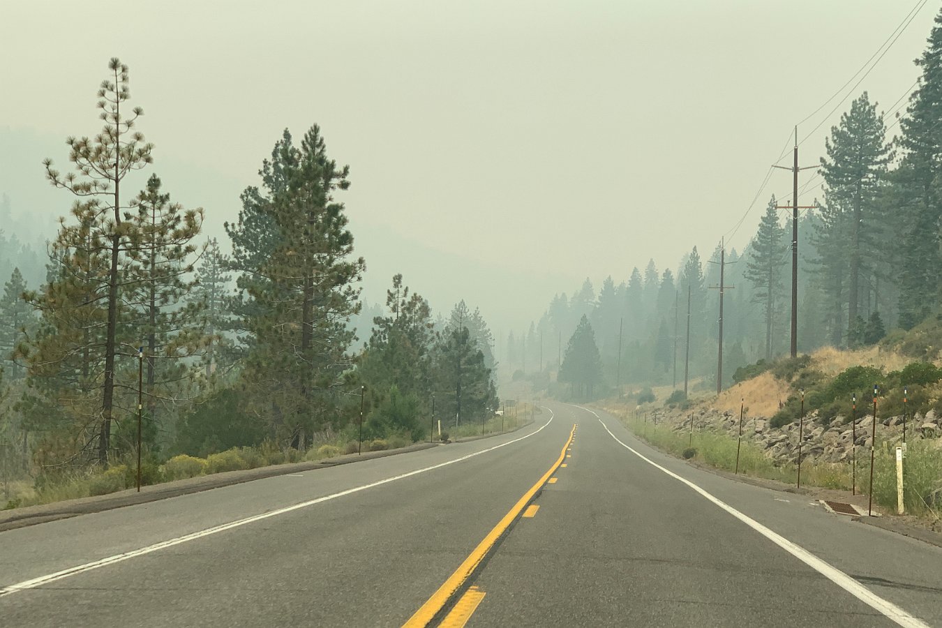
Leaving heavy smoke in Tahoe on Wednesday 8/19
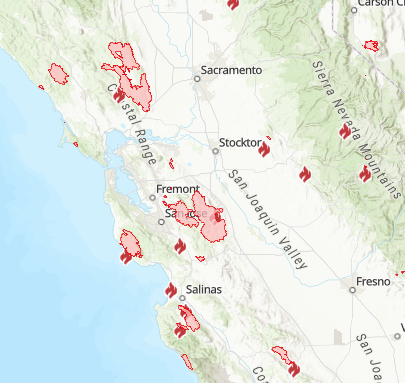
We headed back home on Wednesday, leaving the heavy smoke in Tahoe from the Loyalton Fire, through the smoke filling the Central Valley to reach the heavy smoke in the Santa Cruz Mountains from the CZU Lightning Complex fires.

Looking south and west from the house (Wednesday evening, 8/19)
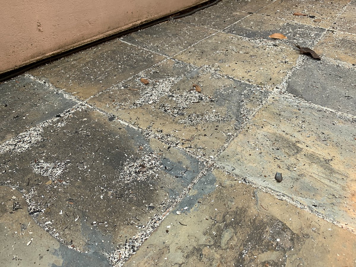
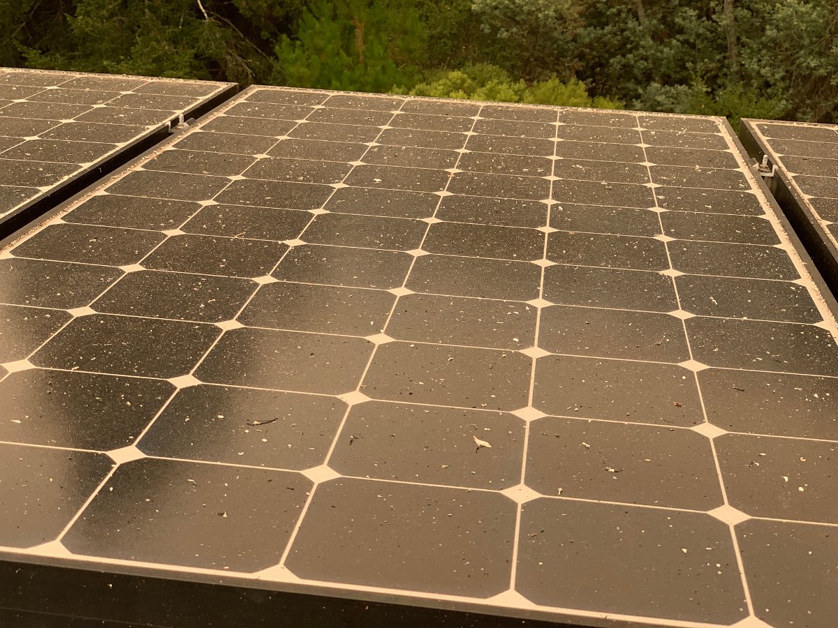
Ash and charred leaves deposited around the house (8/19)
As we came through Vacaville and Fairfield on I-80, we slipped through just before the LNU Lightning Complex fire jumped I-80 and even saw flames from the interstate:
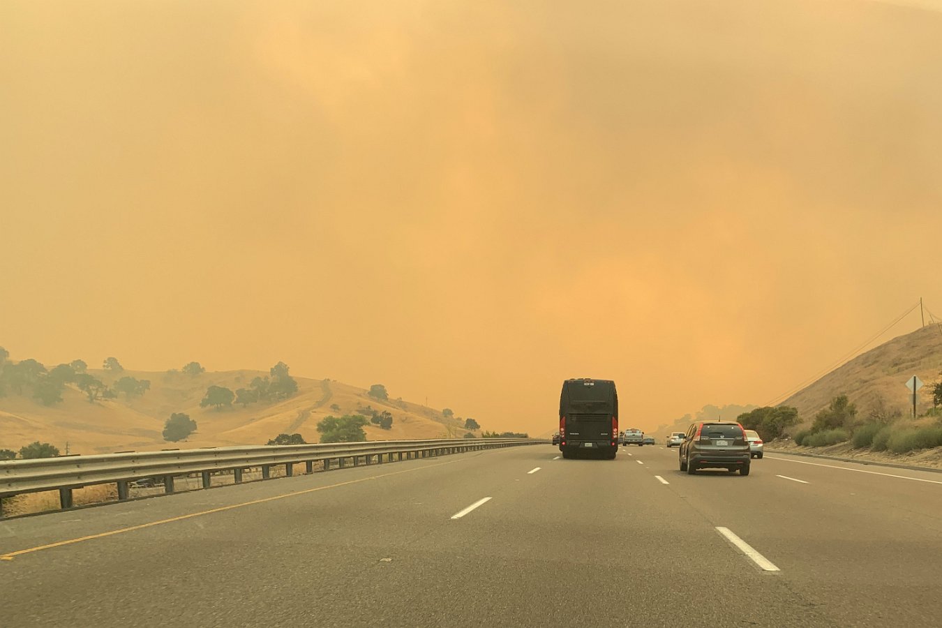
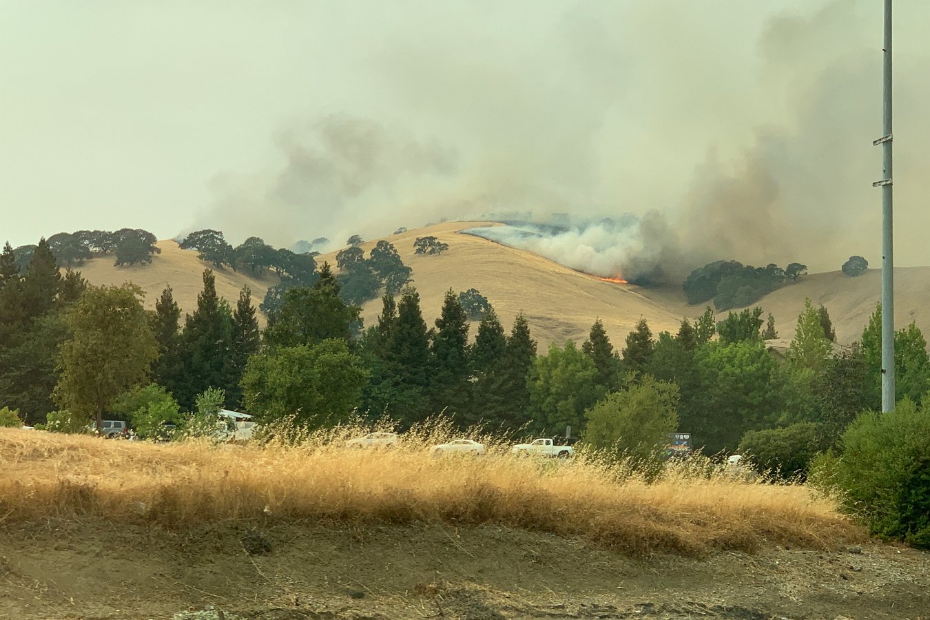
LNU Lightning Complex Fire about to cross I-80 near Fairfield on 8/19
On Wednesday and Thursday we prepped for evacuation, loading up the cars with necessities and some irreplaceables, prepping the house as per wildfire pre-evacuation recommendations (moving furniture away from windows, etc). Sure enough, the mandatory evacuation zones were expanded Thursday evening to include everything west of highway 17 (including downtown Scotts Valley). We’re a little south of Scotts Valley and just east of highway 17, but we decided to go ahead and evacuate Thursday night – heading back to Tahoe.
The evacuation areas are expected to remain in effect for a few weeks. Darlene will be renting a place near Stanford Hospital in Palo Alto as she’ll be returning to work next week.
So far, it looks like they’ve been able to mostly hold the fire west of highway 9 and north of Santa Cruz and Davenport. Unfortunately, we’ve got the potential for more fire starts due to more dry thunderstorms expected around the Bay Area from Sunday (8/22) through Tuesday morning (8/24).
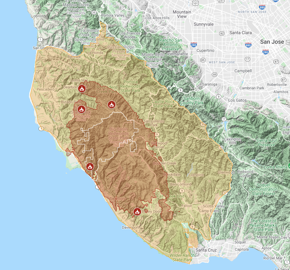
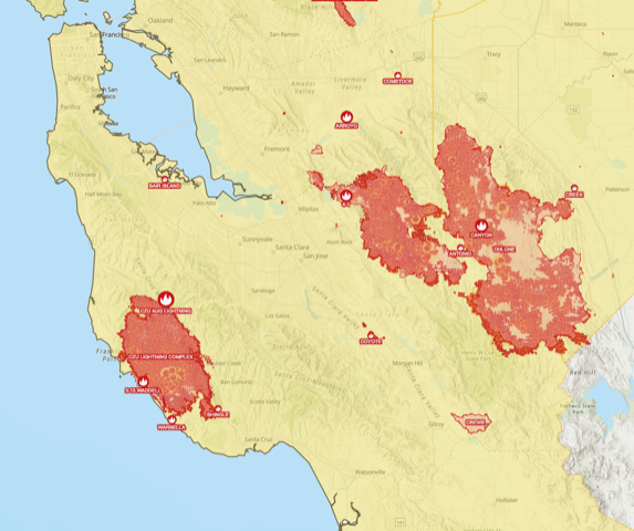
Here’s a combined, interactive map showing both the perimeter of the ZCU Lightning Complex fire and the evacuation area. 63,000 acres burned, 77,000 people evacuated – snapshot as of Saturday, 8/22:
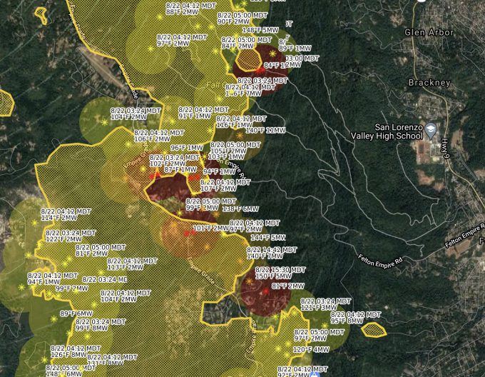
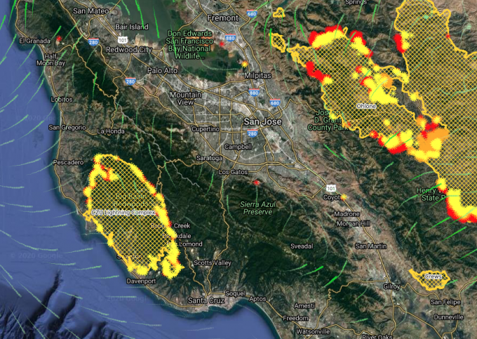
Here’s a really nice mapping tool (CalTopo) that can overlay various satellite data (like VIIRS) on a map source of your choice and plot additional weather data like wind patterns. You can even zoom in to see individual temperature sample numbers showing where the fire is hotter and cooler or no longer present:
For more info on the Santa Cruz Mountains fires, here’s some resources:
|
|
|
|
Update (Thursday, 8/27): 81,000 acres affected as of this morning but they’re continuing to get good control of the fires across the Santa Cruz Mountains. As the mandatory evac area was never extended to where we are (just east of highway 17), Darlene headed back on Monday evening since she had to go into work at the hospital on Tuesday and I headed back with the cats on Wednesday evening as things seemed to be continuing to go well. As of 3 pm Thursday, they’ve lifted the evacuation order on Scotts Valley and surrounding areas.
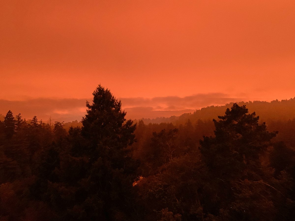
Update (late September): As the number and size of the wildfires continue to grow across the western states, we get a taste of our potential future norm, including days that look like night and seemingly right out of “Blade Runner 2049”:
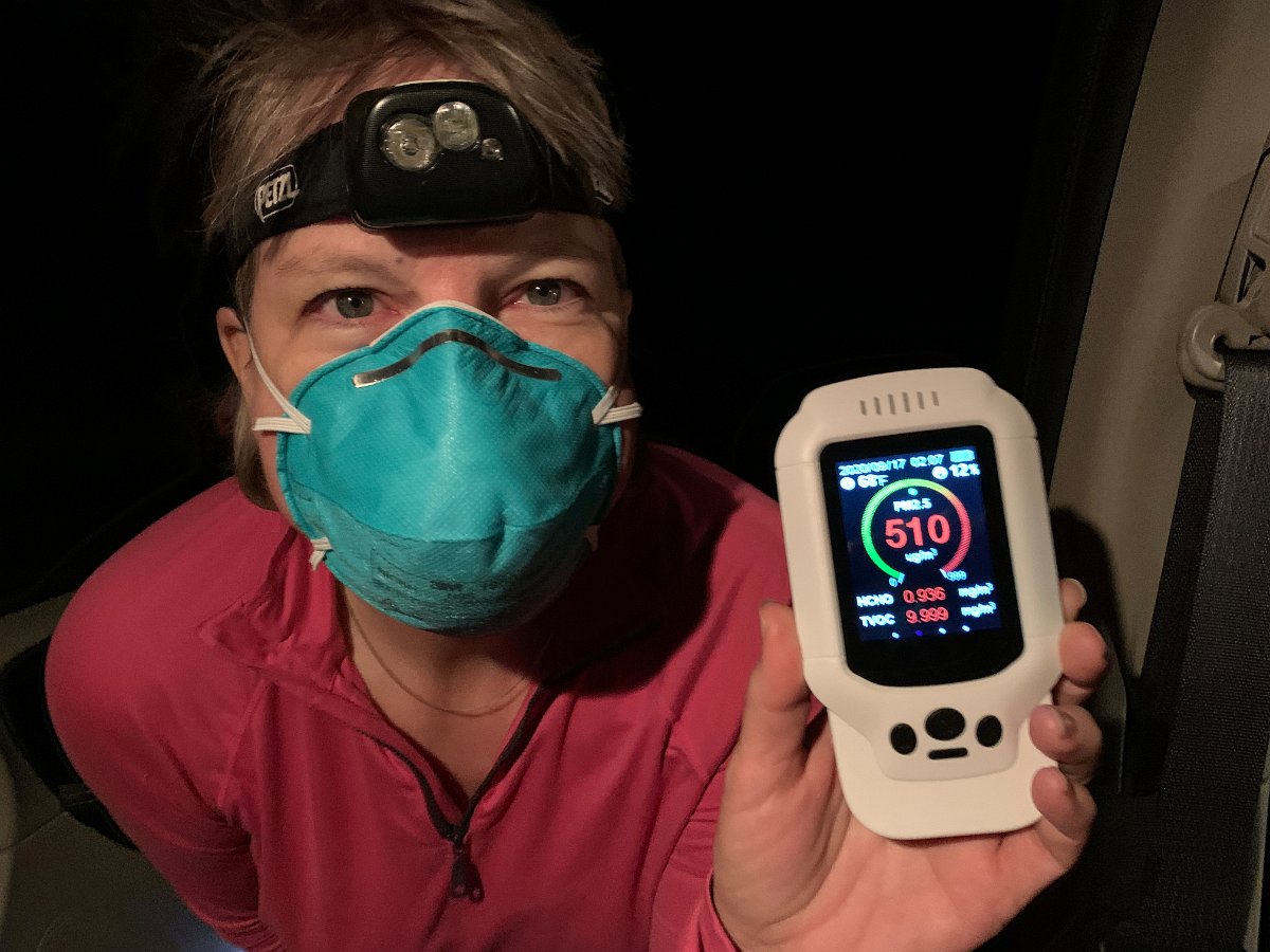
And when we ventured up through Oregon to pick up the Transit campervan in mid-September, we encountered some of the worst air yet: PM2.5 counts of well over 500 outside the rental car.
We brought along our not-so-portable home air filter to use in the car, which was quite helpful on the long drive up and overnight car camping in this nasty environment. I’ve since bought a more compact unit for the campervan given the very likely future event of being caught out in future multiple-states-wide wildfire smoke.
Just A Smidge of the Pacific Crest Trail
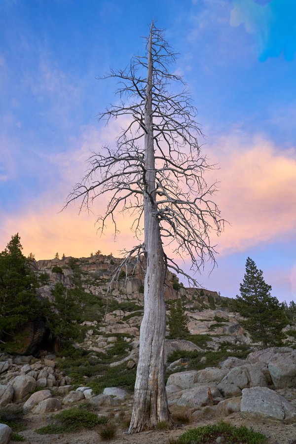
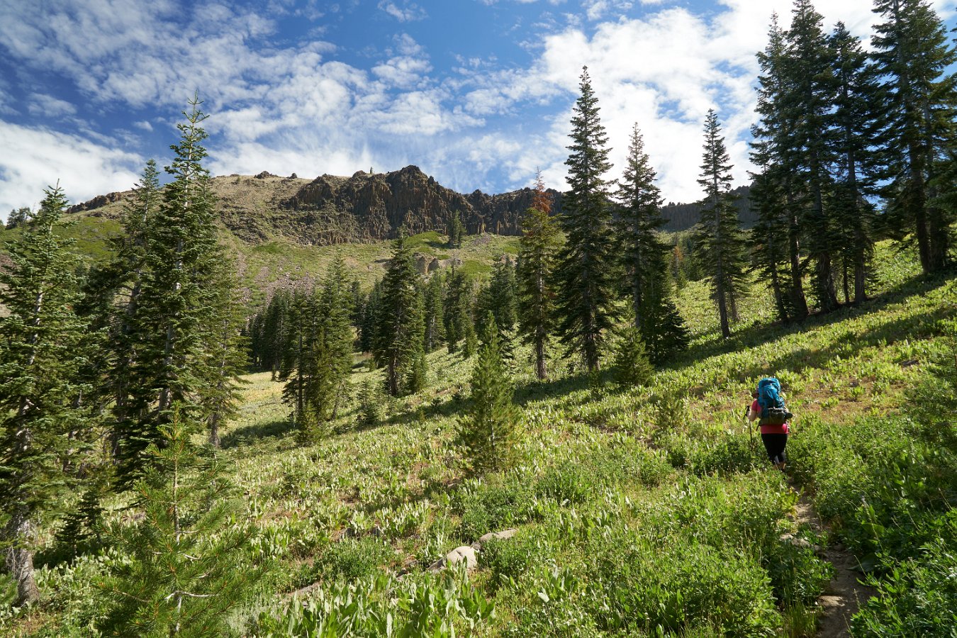
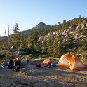
Darlene and I enjoyed a little three-day backpacking excursion along a tiny bit of the Pacific Crest Trail last week. We started at the Donner Pass trailhead and headed south for 10 miles towards Granite Chief (near Squaw Valley). Most of this section is walking a ridge line with wide open views in every direction. It was pretty windy the whole day but that seemed to keep away any threat of afternoon thunderstorms – which would be a bigger concern along this long, very exposed crest.
It’s actually a nice, gentle climb most of the way, climbing up from Donner Pass through the Sugarbowl ski area, past Anderson Peak and Tinker Knob before dropping down to the first potential opportunities for water between Tinker Knob and Granite Chief after about 9 miles. As it turns out, both Darlene and I had issues along the way that led to us moving super slow (me favoring a twinging knee and her with leg and hip troubles). As for water, the most reliable looking source turned out to be dry. With a bit of scouting, I found a tiny little spring hidden in the creek bed not too far from the trail crossing and so we camped nearby. (For any one looking for info on “California Section K” of the PCT, it was the stream coming off teeny Mountain Meadow Lake near the PCT intersection with Painted Rock Trail. The creek just south of Tinker Knob was still flowing though.)
Feeling much more sore and stiff than usual, neither of us felt up for doing much of a day hike or any peak climbing the next day so we just spent it hanging out and recuperating. Our return hike on the third day to Donner Pass went easily though (aside from a minor slip and fall and bloodied knee) and we enjoyed a gorgeous day with little wind on the ridge.
