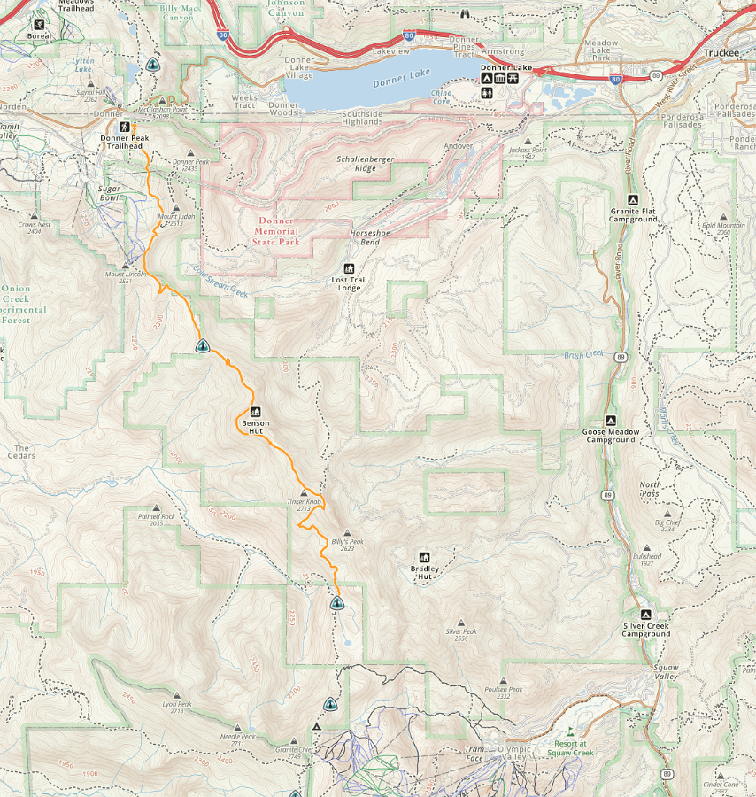
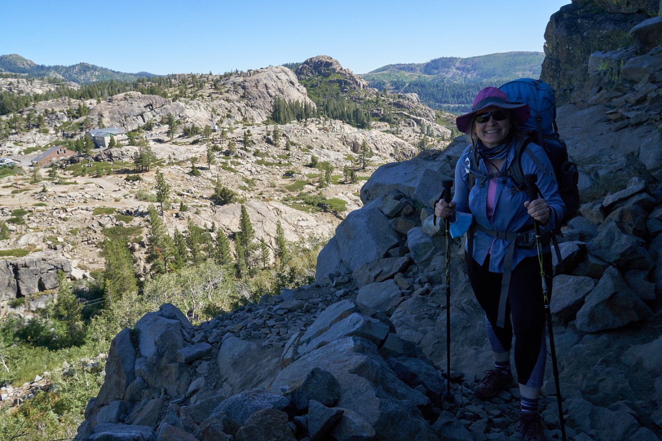
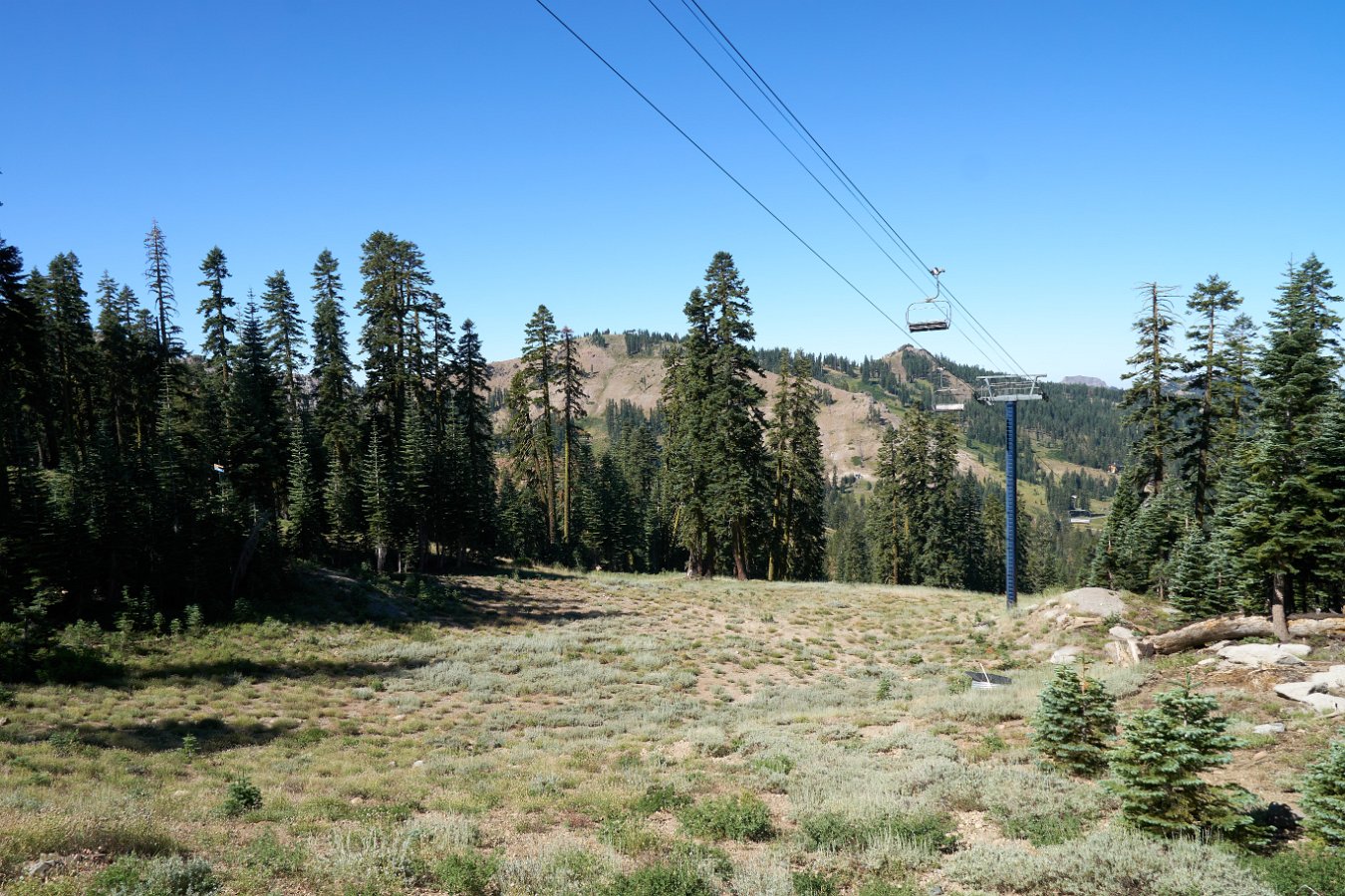
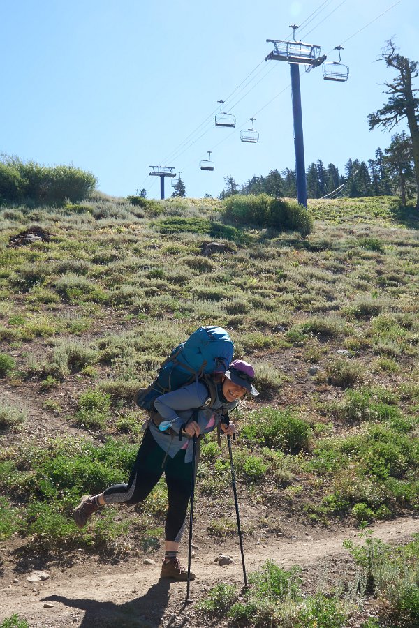
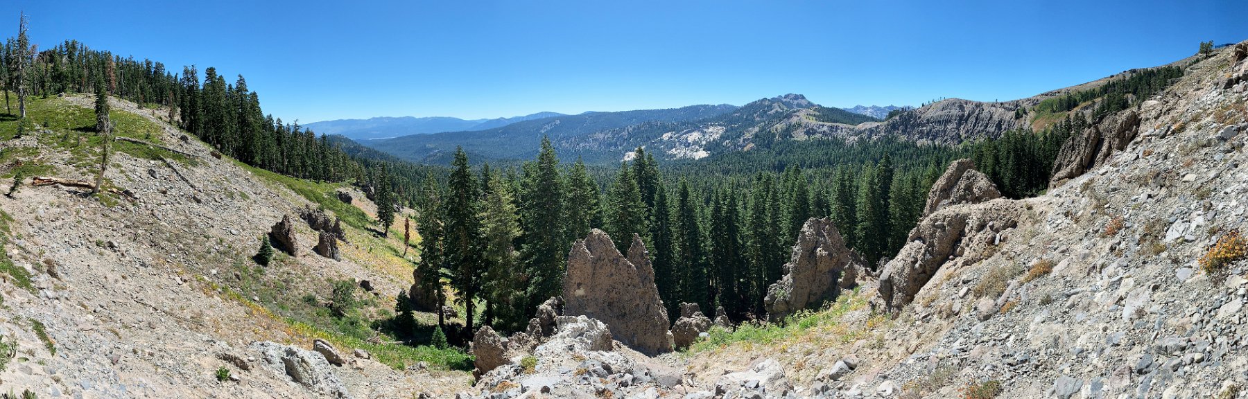
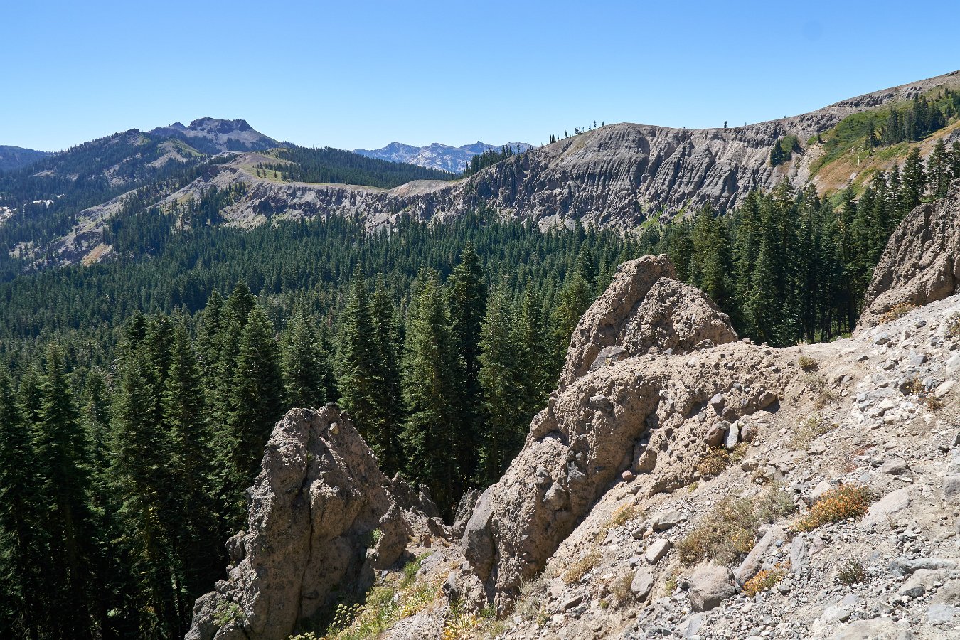
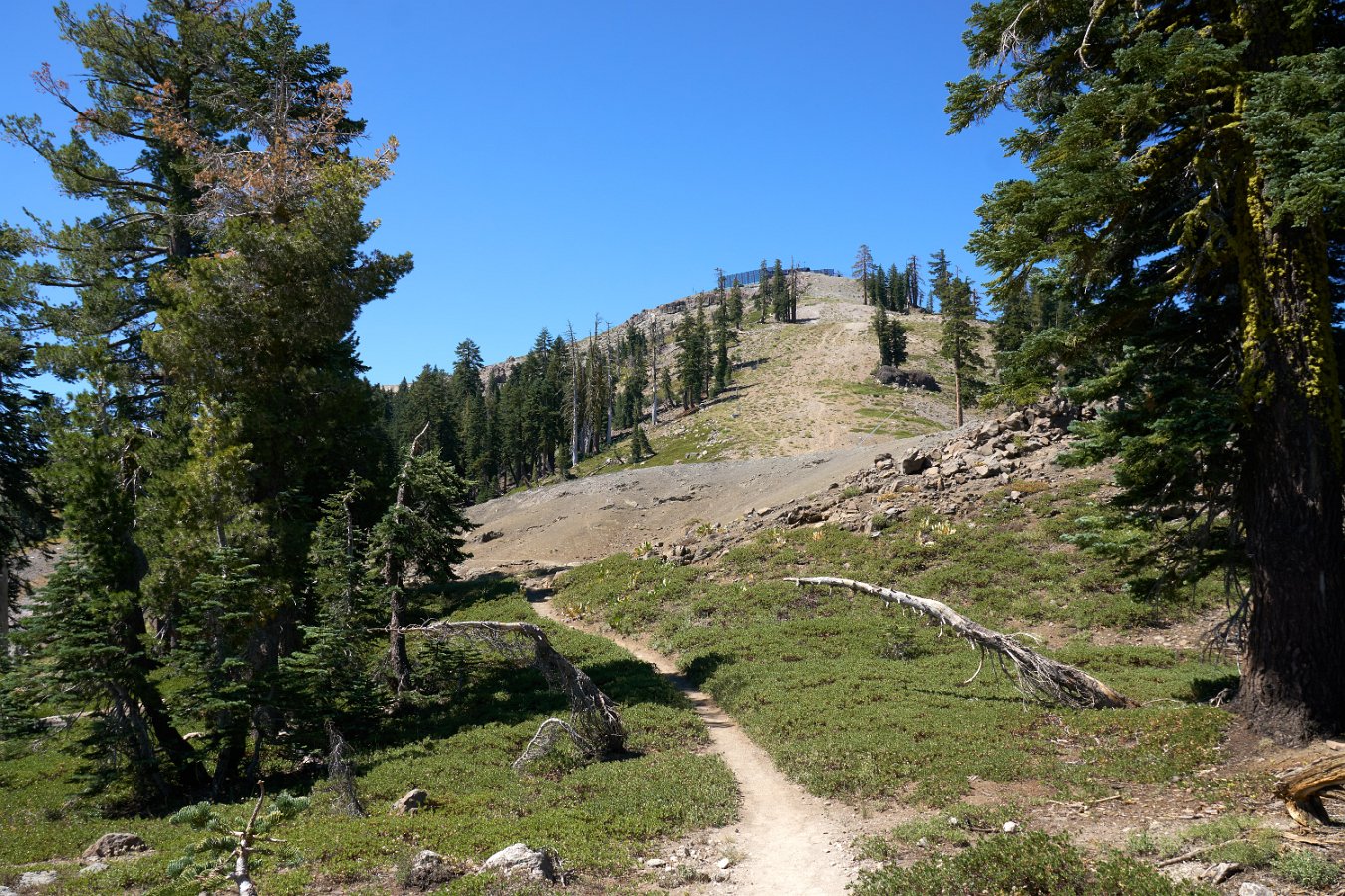
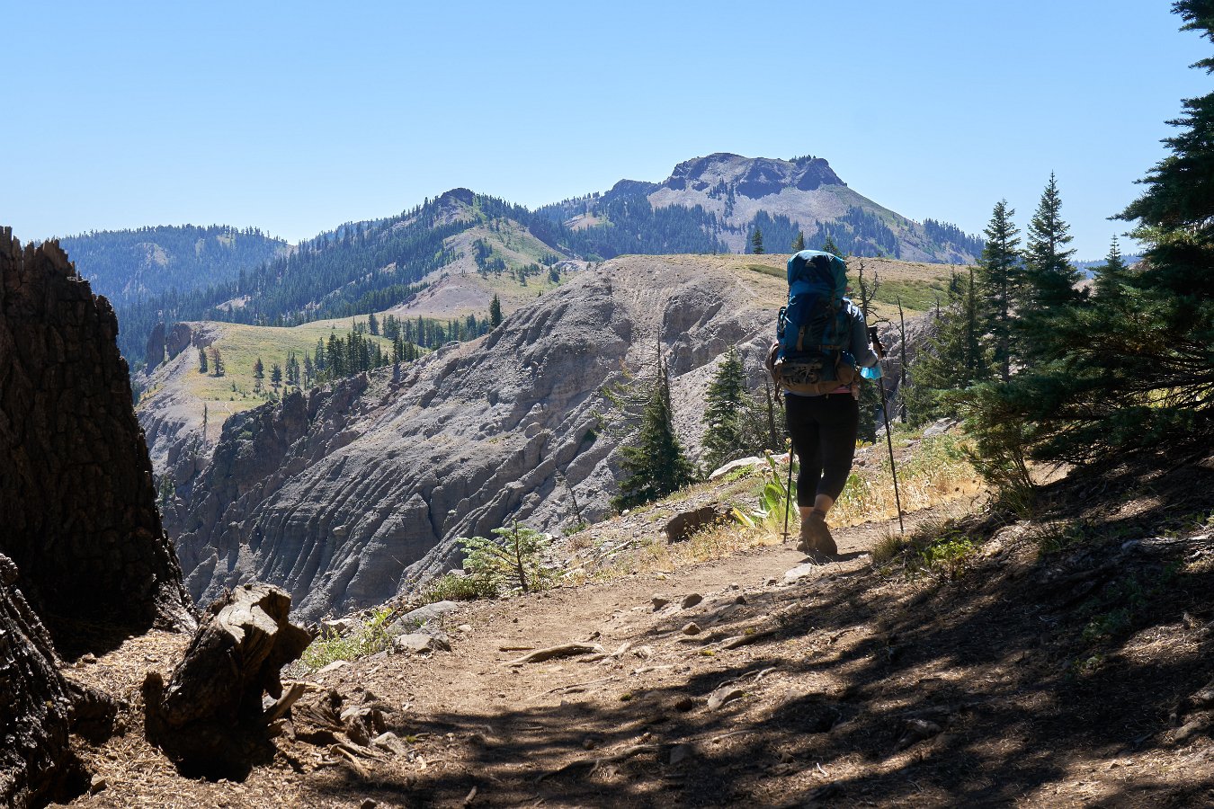
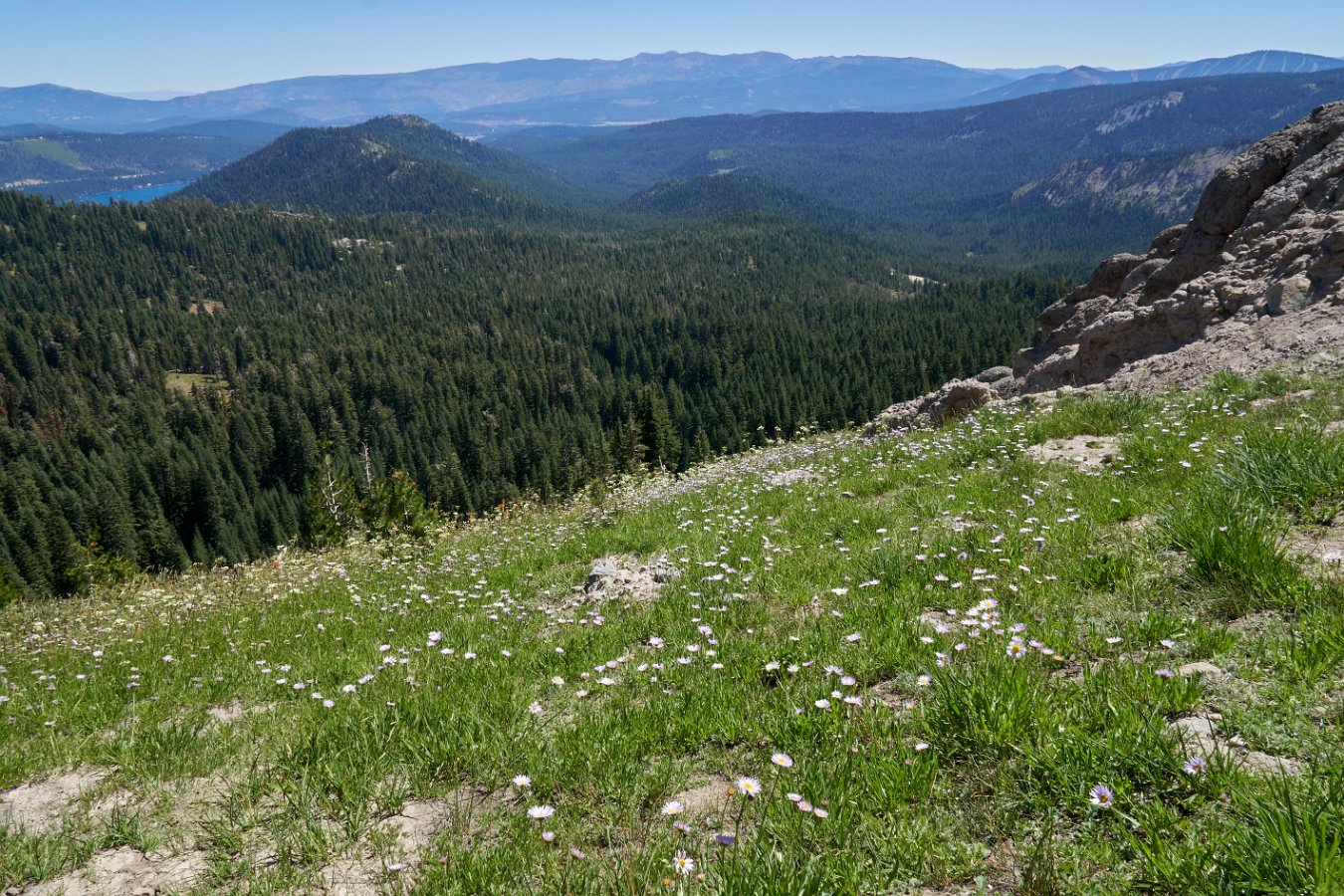
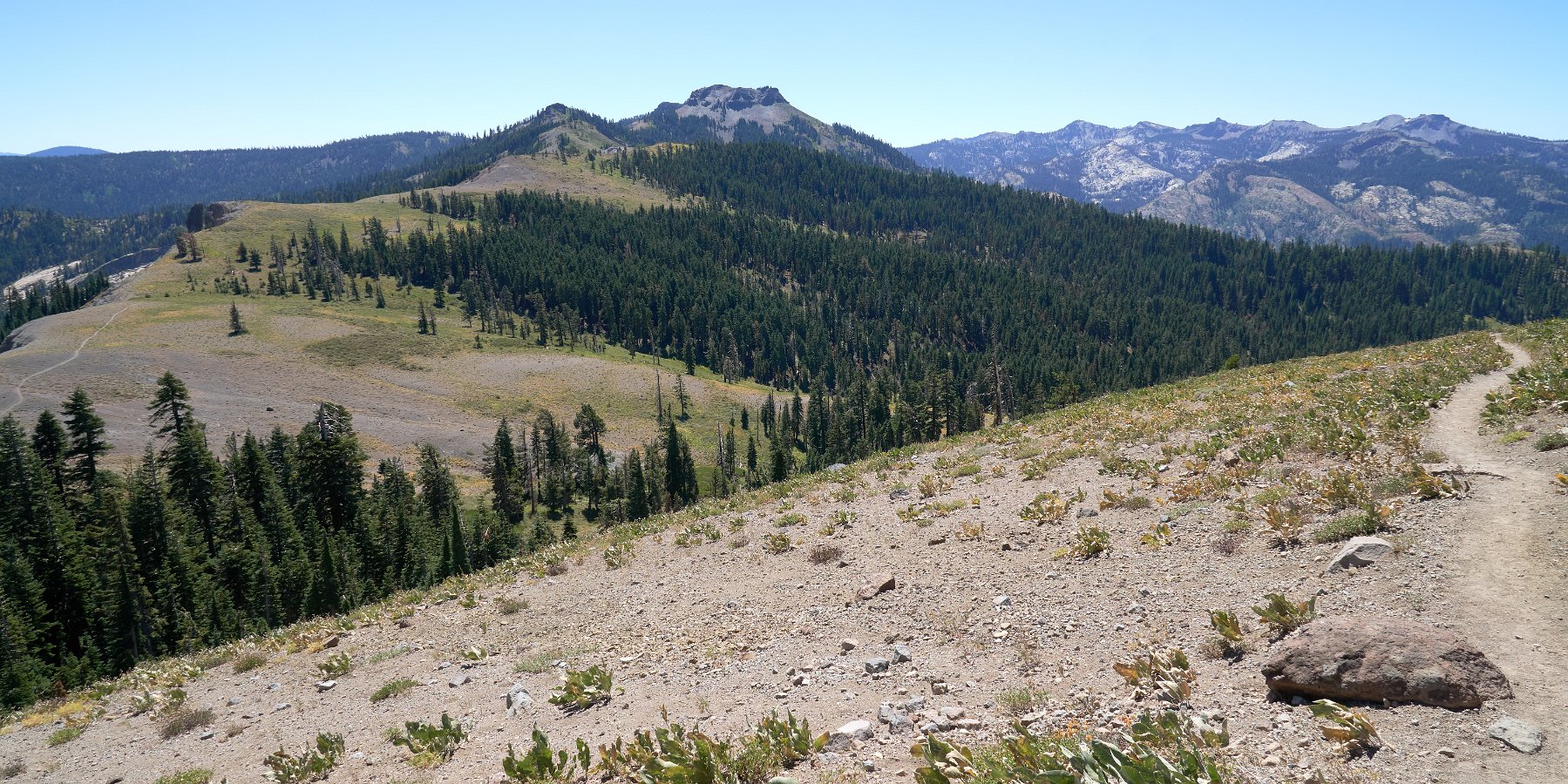
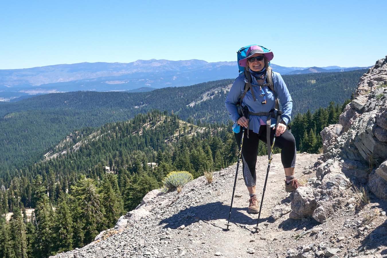
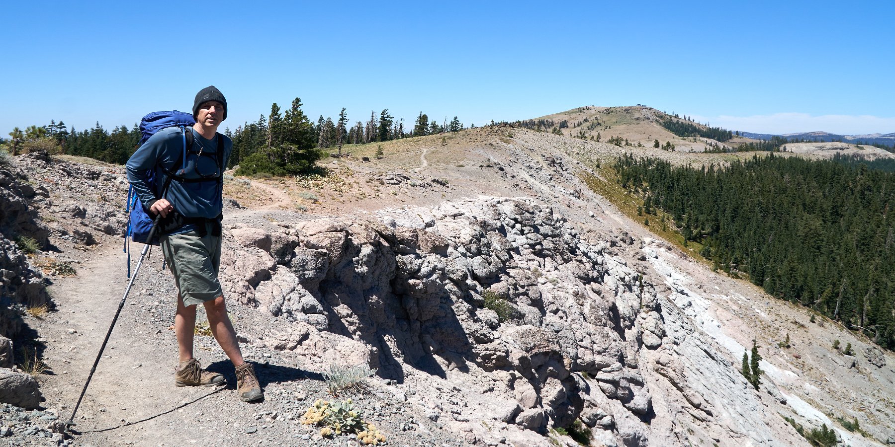
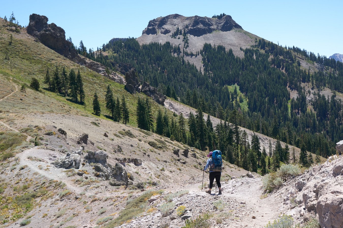
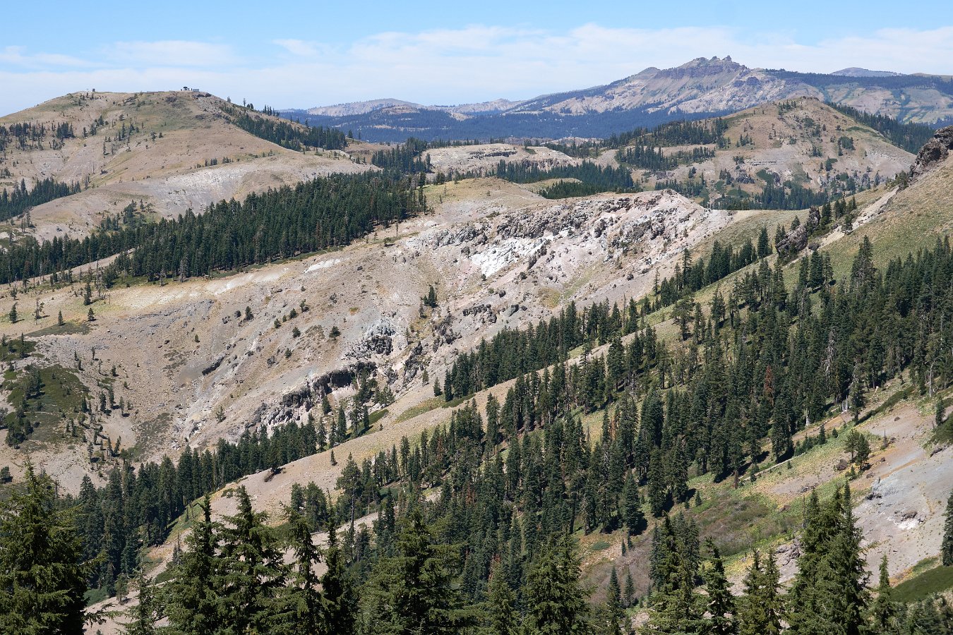
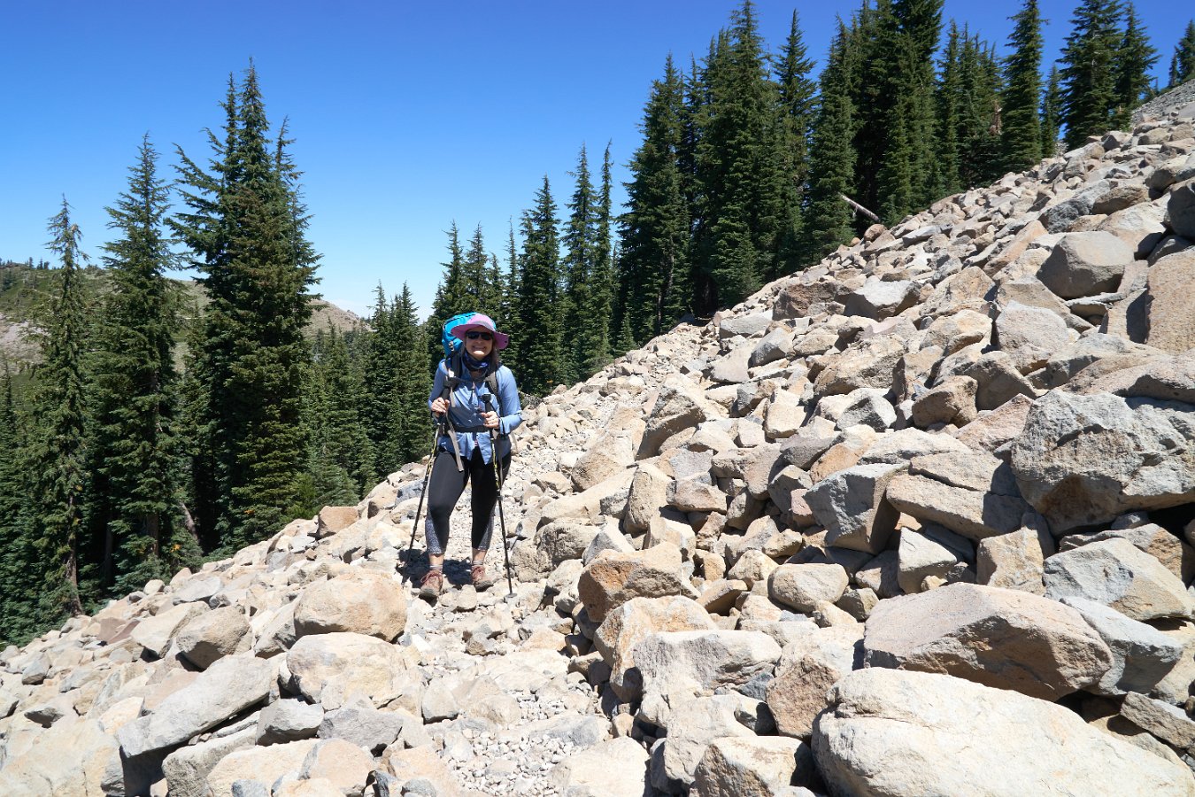
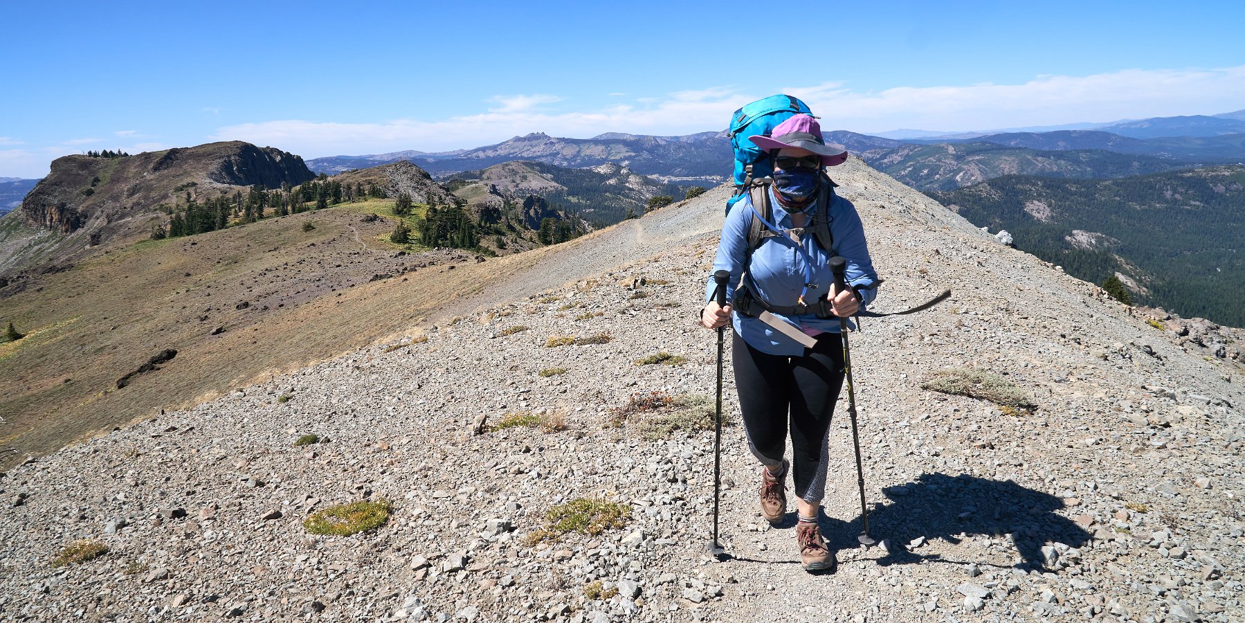
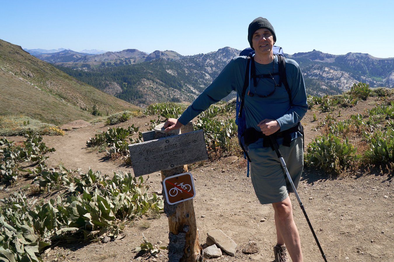
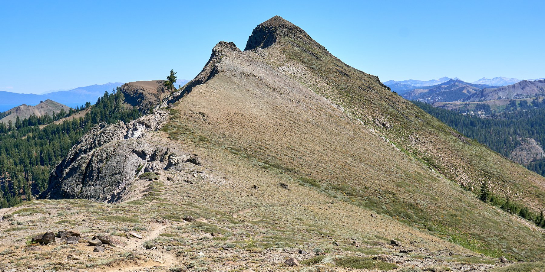
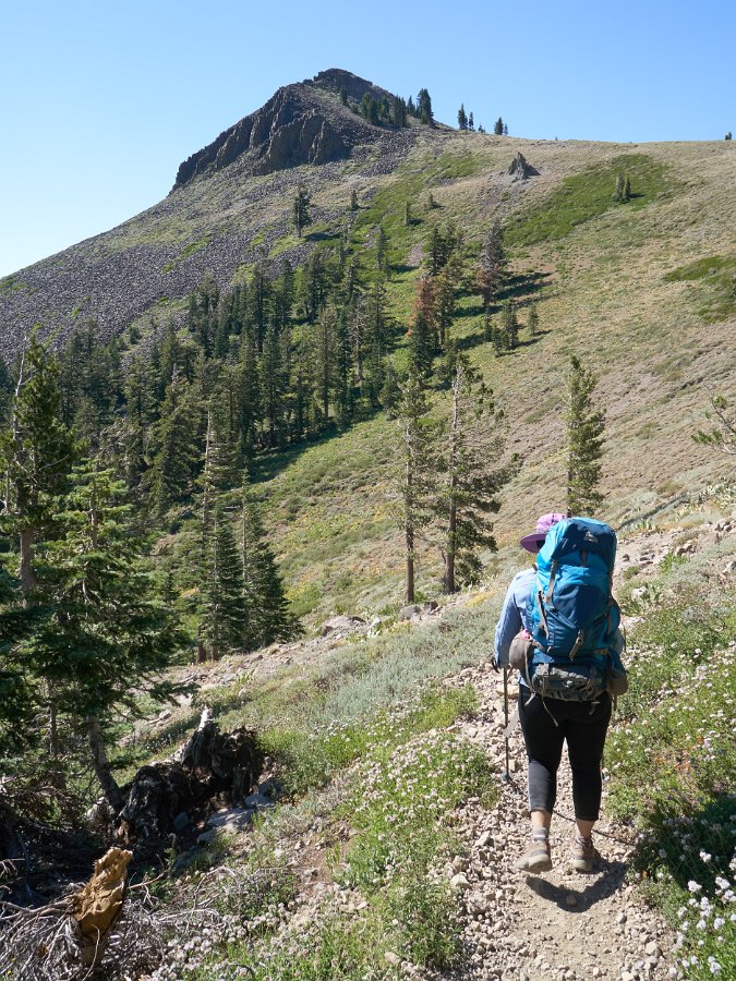
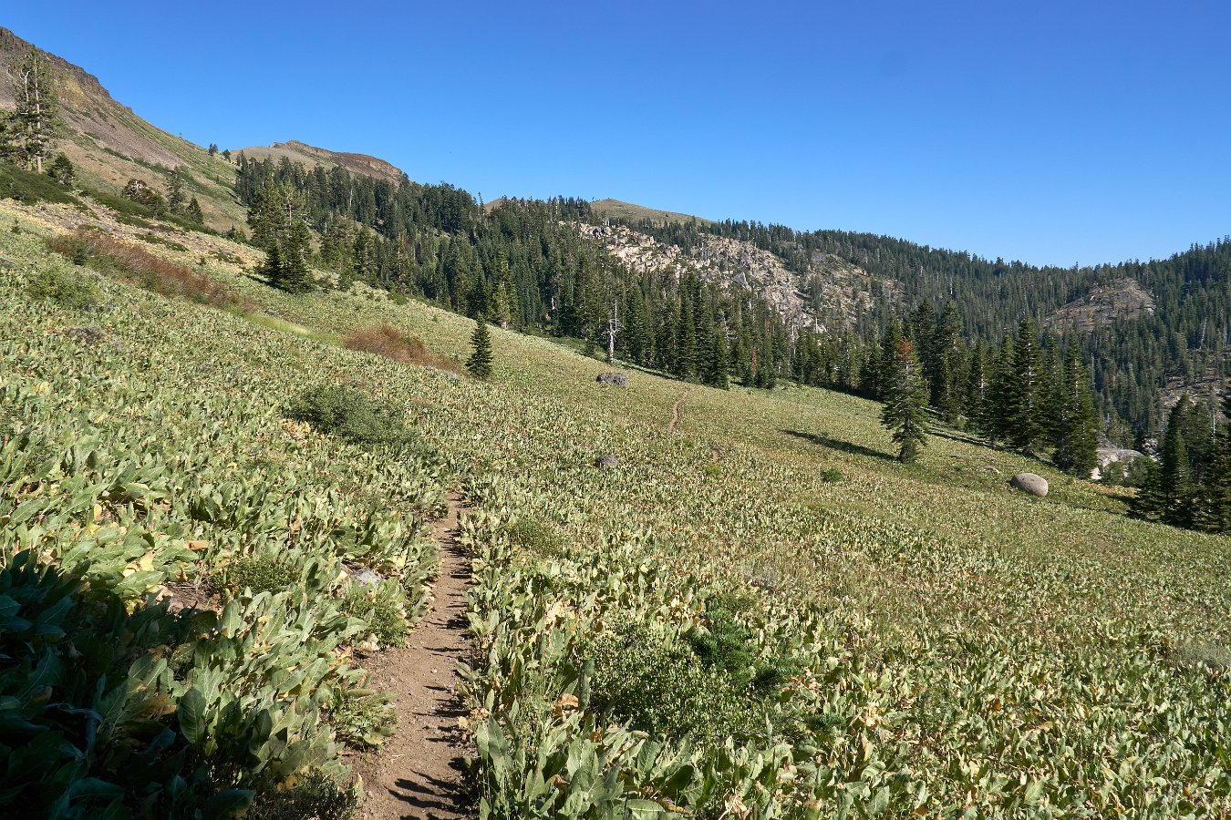
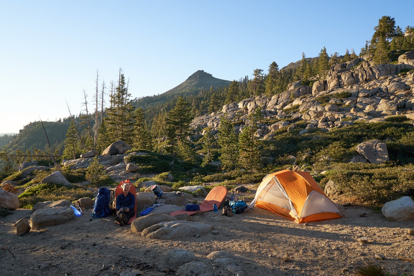
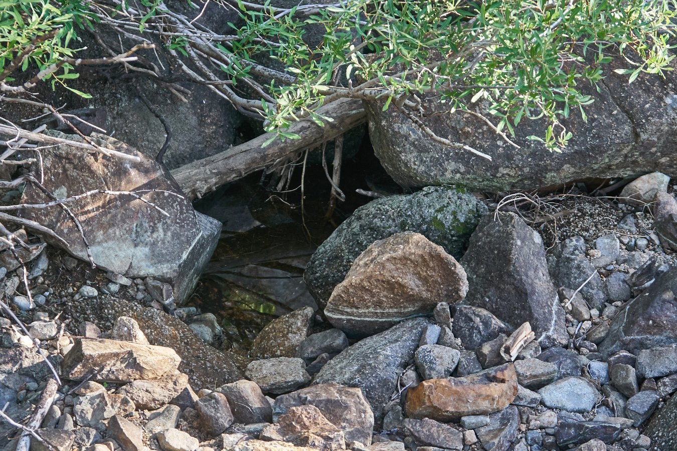
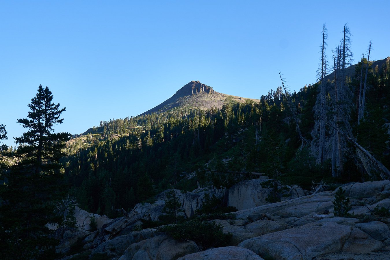
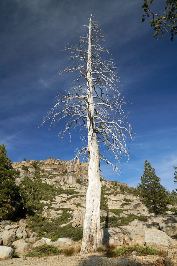
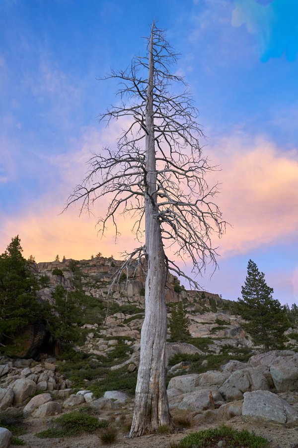
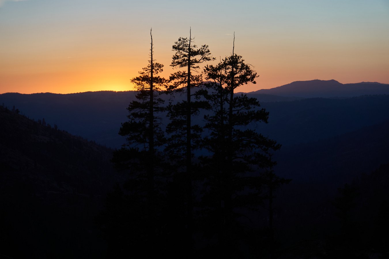
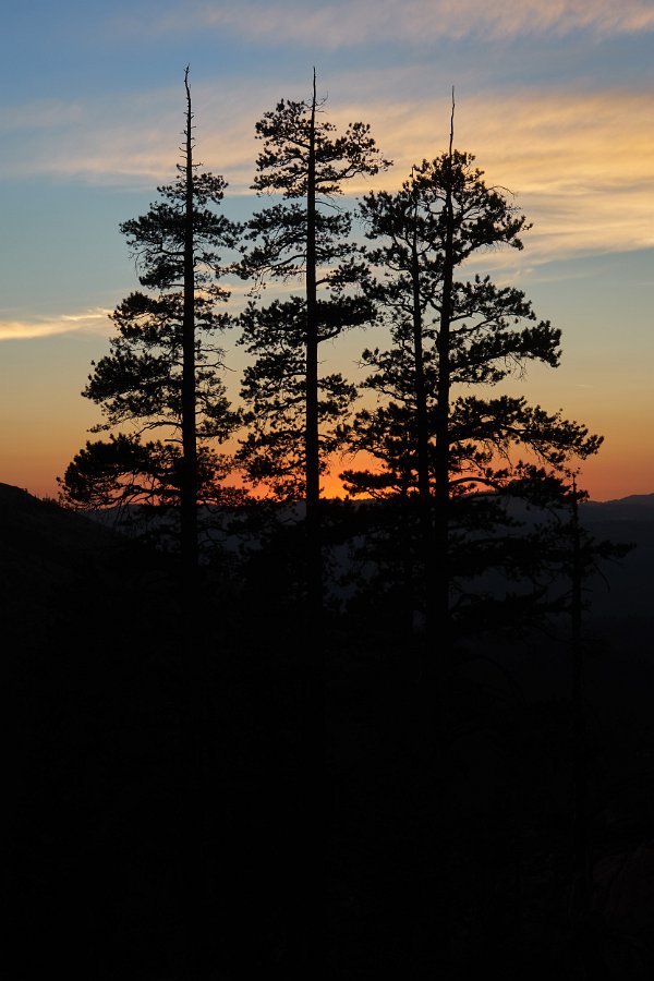
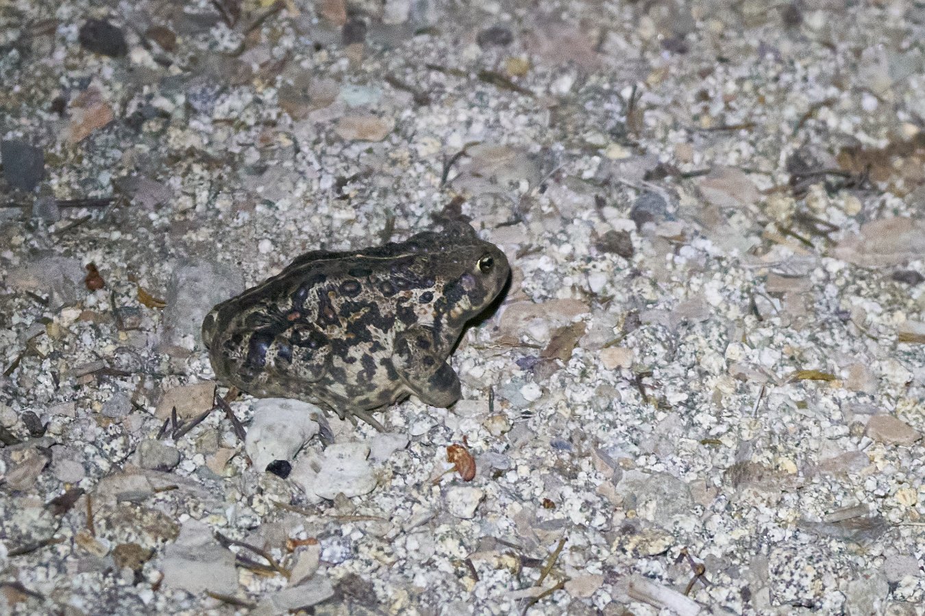
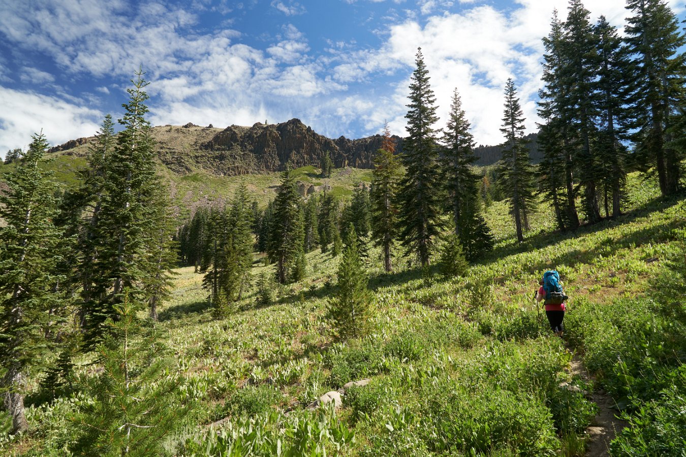
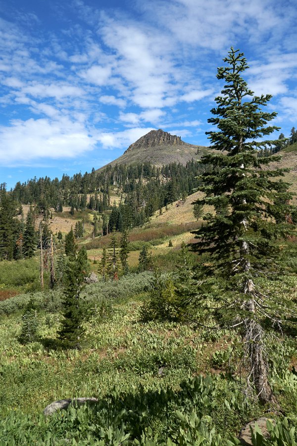
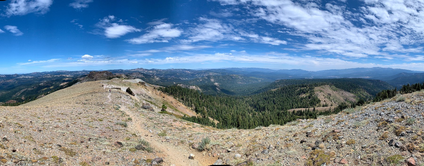
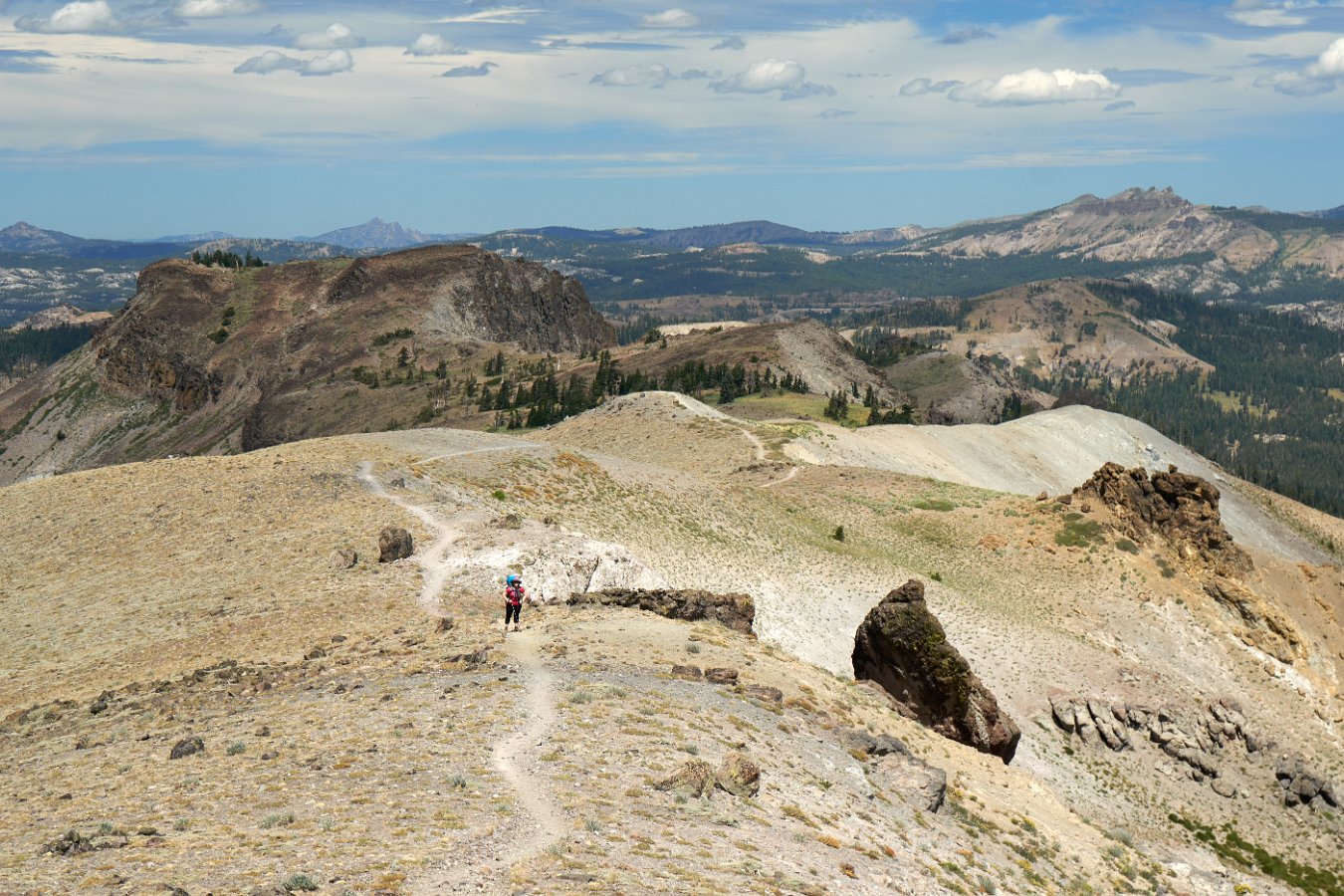
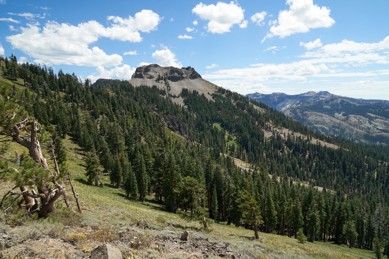
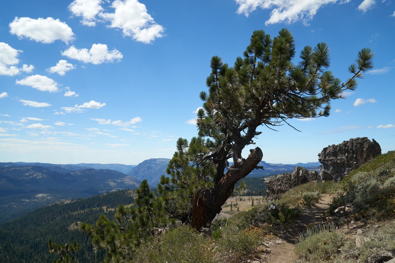
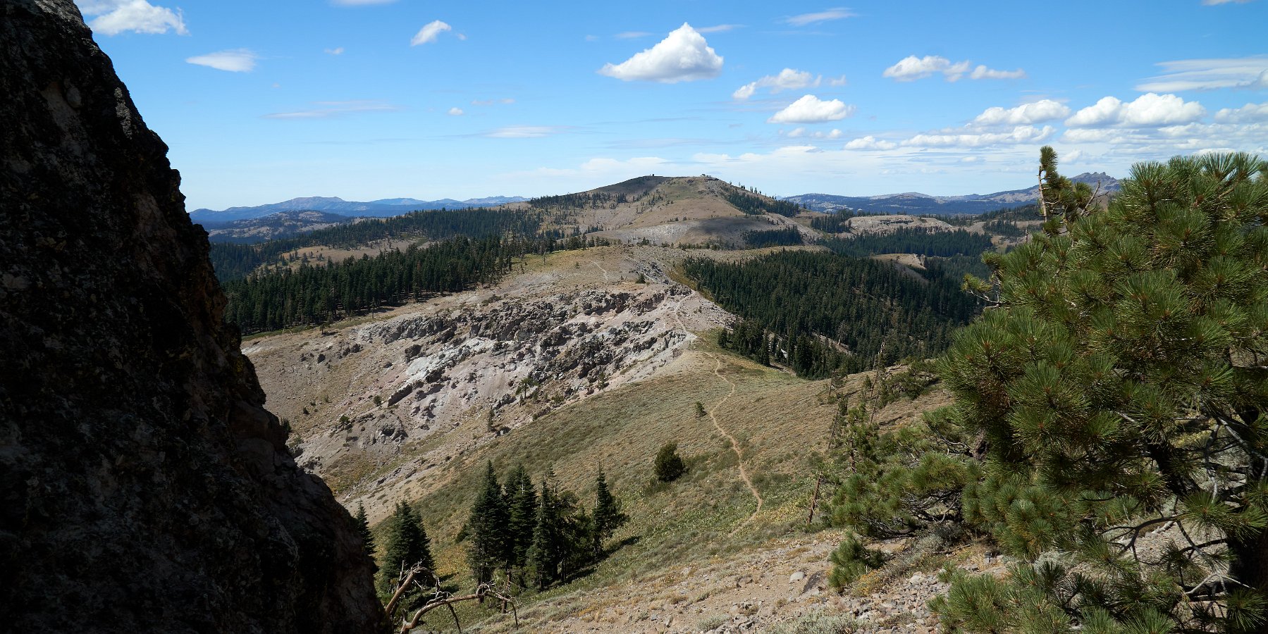
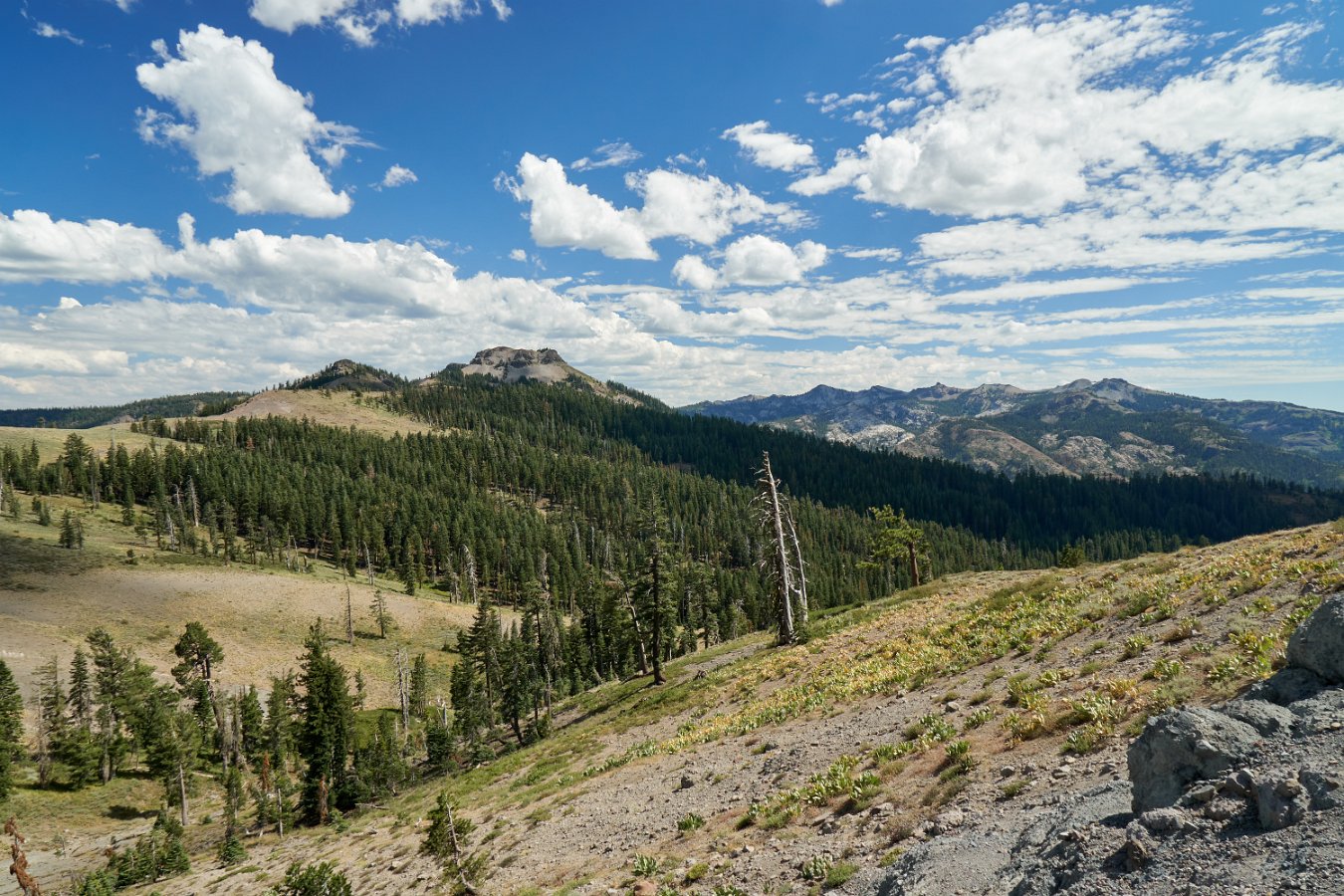
Backpacking from Donner Pass south

10-mile portion of California "Section K" of Pacific Crest Trail
(Mid-August 2020)
map-donner-pass-south Climbing up from the Donner Pass trailhead Passing through Sugarbowl on Mt. Judah Passing through Sugarbowl on Mt. Judah Overlooking the "rollover" point of the emigrant trail/pass The ridge we would be following soon
Passing just under Mt. Lincoln at Sugarbowl DSC02482 Looking west with views of Donner Lake, Truckee and Northstar DSC02493 DSC02497 DSC02502
Approaching Anderson Peak (8681 ft) Looking back north towards Castle Peak West side of Anderson Peak DSC02515 Approaching Tinker Knob (8901 ft) Intersection with Coldstream Trail
DSC02527 Dropping below Tinker Knob (8901 ft) DSC02545 Our camp at the intersection with the Painted Rock Trail The tiny spring that served as our water source for a couple of days! Morning view up to Tinker Knob from camp
DSC02557 DSC02559 DSC02569 DSC02565 DSC02567 The huge toad that wandered into our camp
Nice day to head home Heading back up to Tinker Knob View from ridge below Tinker Knob View from ridge below Tinker Knob Looking north towards Anderson Peak, Donner Pass and Castle Peak Squirrel!!
DSC02590 DSC02592 DSC02593 DSC02594