Tag Archives: camping

Big Trees, Missing Arms and Falling Limbs

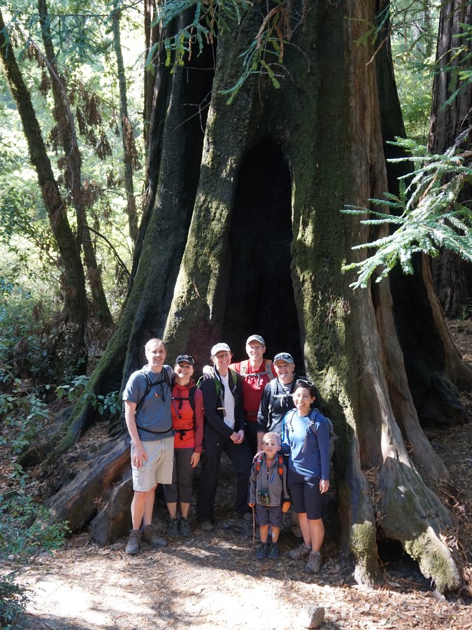
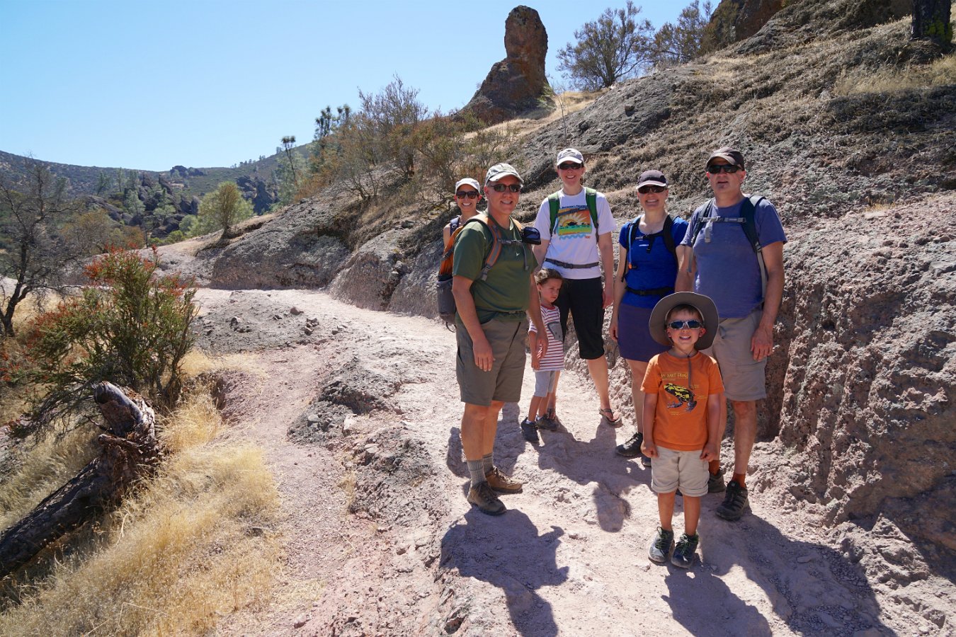
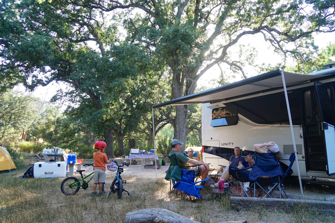
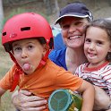
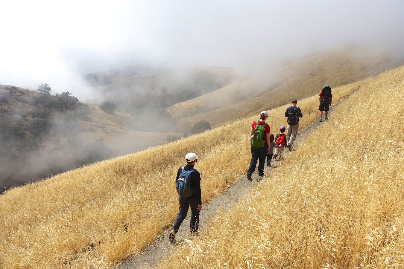
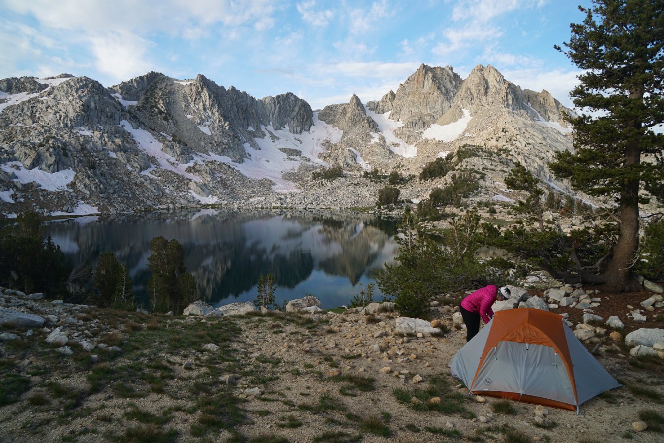
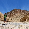
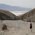
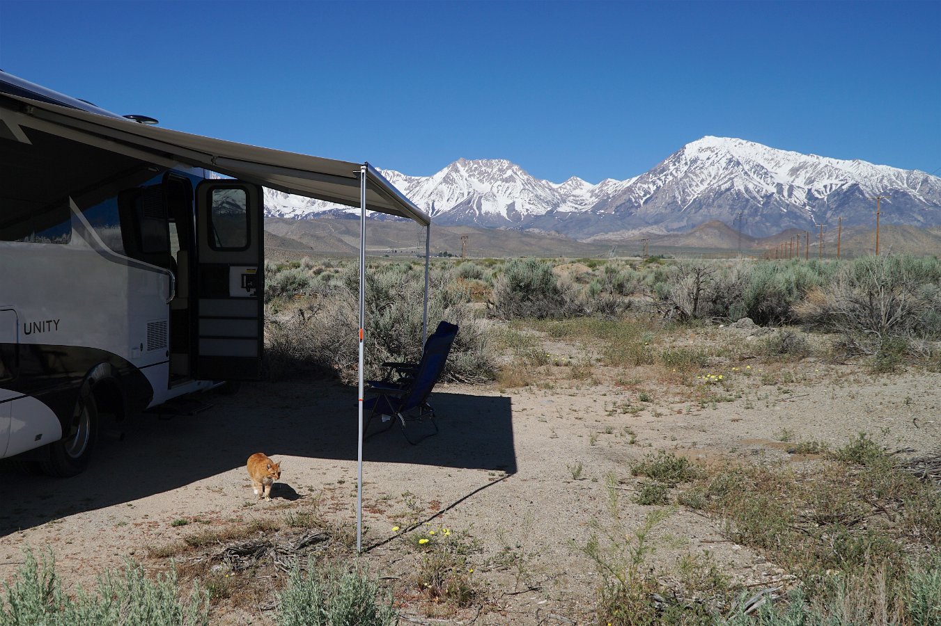
Darlene and I joined Resi, Troy & Aiden and Greg, Erin & Merritt for another camping weekend, this time in Big Basin Redwoods State Park in the Santa Cruz Mountains.

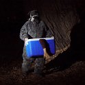
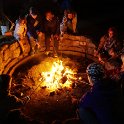
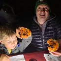
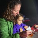
Besides some hiking among lots of giant redwood trees, we got in a couple of games, Decrypto and Quacks of Quedlinburg, and we got to experience the spooky, night time reenactment of Big Basin’s last lumber mill owner’s fateful encounter with a grizzily bear and the subsequent haunting of his missing arm!


The weekend ended with a true scare though.  This was another weekend of hot and dry winds, setting off wildfires despite PG&E’s efforts to shutdown large portions of the electric grid across many California counties.  Just a minute or two before we were to drive out of our campsites, several redwood tree branches gave way and came tumbling down just in front of our vehicles in the roadway.

Before that dust had settled, I heard another large crack directly overhead as I was still standing in our campsite, just outside the RV, about to climb aboard.  I ran off towards our adjoining campsite where everyone had just got into their cars and spun around to see a large 20-foot long limb, maybe 8 inches in diameter, come crashing down onto the back of the RV, right where I had been standing – and where we had been hanging out in our camp chairs much of the weekend.  Darlene was inside the RV and was startled into a scream at the sound of the crash and rushed out to see what had become of me.

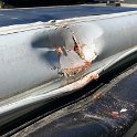
Everyone piled out of their cars to quickly clear the roadway so we could make an immediate departure and get the heck out of there.  Later I was able to pull off the road in a clearing and survey the damage: the edge of the roof was busted open, exposing some wiring, the awning was crushed and bent and partially torn from its mount and a couple of solar panels were damaged.

So, both lucky that no one was hurt and that it didn’t come down while everyone was sitting around camp or in their tents and unlucky that we didn’t leave just a minute or two earlier and avoid the whole mishap.
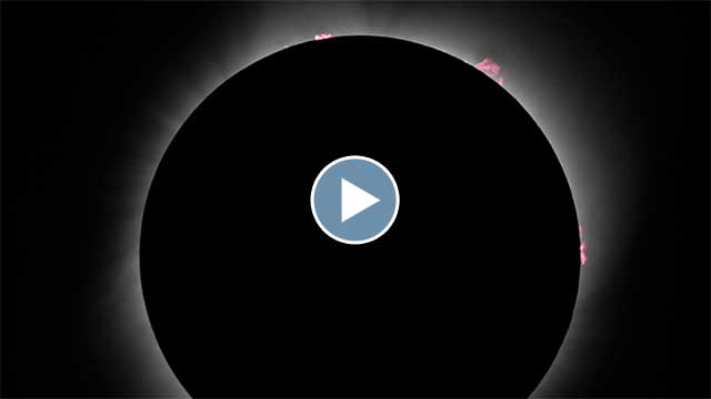
Click through for the full gallery.

Also tagged , , , | 1 Comment

Camping in Pinnacles

Darlene and I met up with Greg, Erin & Merritt and Resi, Troy & Aiden for a very warm weekend of camping at Pinnacles National Park this past weekend.

Click through for the full gallery:

(And sorry guys, the first batch of photos are pretty messed up by my not noticing until our hiking snack break that I had left my camera set at a very high ISO.  Just think of it as an old-timey filter…)


Also tagged , , , , | Leave a comment

Camping at Fremont Peak

A gallery of pictures here from a camping weekend (October 5-7th) with Erin, Greg, Merritt, Resi, Troy and Aiden at Fremont Peak State Park.  (Darlene had to skip it as she had just gotten sick.)  No campfires allowed but we got in a bit of hiking in this tiny little park and everyone enjoyed peeking through the telescopes on Saturday night.  Thanks for organizing, Erin!

Click through for the full gallery:


Also tagged , | Leave a comment

Backpacking in the Enchantments

Leprechaun Lake (6875 ft) in the Enchantments core zone

The Enchantments is a popular backpacking destination in the Alpine Lakes Wilderness area of central Washington state.  It’s popular enough that you have to submit an application via a lottery system many months in advance (much like the Mt. Whitney trailhead).  We managed to score a permit for the “Snow Lakes Zone” and I was able to join Glenn and Michele and several of their friends (John, Kyle and Fritz) last week in Leavenworth to start our four-day adventure.  Unfortunately, Darlene had to bow out for a work-related conflict but we were able to make another backpacking trip to the High Sierra the week before.

It was looking sketchy with all the smoke from the wildfires across the northwest this summer, including a small wildfire burning in another part of the Enchantments area (closing off the other half), but we lucked out with some not-completely-unbreathable air the week we were there and even a remarkably clear day on our second day.

Ready for a nice long climb from the Snow Lakes trailhead

On our first day, we hiked from the Snow Lakes trailhead at about 1400 ft and climbed about 4000 ft over eight or nine miles to the far side of Snow Lakes.  It’s a lot of elevation but it’s spread out fairly well and, except for a couple of large rockfalls, the trail is in good condition and there’s plenty of opportunities to get water.  Part of Snow Lakes is used as a reservoir and it was down some 20-30 ft when we arrived – apparently drained like a bathtub by an underground aqueduct that shoots a huge jet of water out the side of the mountain above Nada Lake.   We camped alongside some of the exposed beach of Snow Lakes for two nights.

Working through the rockfalls between Snow Lakes and Nada Lake

Glenn and Fritz “volunteered to keep watch” over our campsite the second day as the rest of us headed up over the western ridge from Snow Lakes to the “core zone” of the Enchantments area.  That turned out to be not so much a trail as a rocky mountain goat path, scrambling up over granite outcroppings.  It was hard to picture carrying a full 40-pound pack over that but many people do the Enchantments as a 18+ mile through hike.  The craziness of that trail aside, the many lakes of the core zone were lovely, though we only went as far as the shore of Perfection Lake (while looking for mountain goats) before making our return to our camp.

Climbing the pass from Snow Lakes up over the ridge

On our third day, we packed up camp late in the morning and headed down the short distance through the rockfalls to Nada Lake, with a brief sojourn to the more natural looking half of Snow Lakes – where we stumbled into a small herd of deer who were remarkably unconcerned with our presence.  We camped along Nada Lake at the base of a huge rockfall of massive boulders that extended all the way up the mountain.  And on our last day, we got a close encounter with a family of mountain goats as we made a leisurely hike all the way back down to the trailhead.

Camped at Nada Lake (4900 ft)

Click through for the full gallery of pictures:


Also tagged , , , , , | Leave a comment

Backpacking the Silver Divide

I had promised Darlene a substitute backpacking trip when we found out she would no longer be able to go on our upcoming backpacking trip in Washington state.  We were able to take four days over the Labor Day weekend and I picked out a promising area that I hadn’t been to north of Lake Thomas A. Edison that would give Darlene another taste of the High Sierra.

We took off Saturday afternoon amid some unusual high temps as well as heavy smoke that had blown down from numerous wildfires in Oregon and Northern California.  It was a five and a half hour drive to get to the trailhead, including an interesting drive over a very rough, one lane road from Huntington Lake that goes over Kaiser Pass at 9184 feet.  We found a spot to camp along the road near the High Sierra Ranger Station on Saturday night and to wait to get a wilderness pass in the morning.

A meadow along Silver Pass Creek

We had our pick of numerous trailheads near Lake Edison but settled on doing a loop up and over part of the Silver Divide by following the John Muir Trail / Pacific Crest Trail over Silver Pass and then returning via Goodale Pass.  (View map.)  The smoke from the distant fires was still pretty heavy and worrisome on Sunday morning but we managed to just barely catch the backpacker’s ferry boat across Lake Edison and that cut out four miles of hiking our way around the reservoir to get started.  From the ferry landing (7643 ft), it’s about nine miles to the top of Silver Pass (10,900 ft).

Our room with a view over Chief Lake at 10,400 ft.

There’s lots of small, alpine lakes scattered along the divide and we found a lovely spot to spend two nights overlooking Chief Lake just below Silver Pass at about 10,400 ft.  Thankfully the smoke wasn’t too bad at altitude and it mostly cleared out overnight with the winds and occasional brief showers.  Not much to see in the way of stars though with a very bright full moon on display.

Sunset skies over the distant Minarets to the north

In the morning, we were treated to views of the distant Minarets (part of the Ritter Range) up near Mammoth.  There were a good deal of mosquitos in the morning and evening but not as much as I had feared given our really wet winter this year.  The weather alternated between periods of sunshine and heavy clouds with brief sprinkling while we ventured up a nearby ridge on the Silver Divide to get some more stupendous views of our surroundings.

Enjoying the panorama perched on a ridge above Silver Pass

Monday night was tough to sleep through as we had hours of heavy gusting winds but eventually it quieted down.  Our return journey on Tuesday was about 12 miles over Goodale Pass (10,997 ft) down to the Vermillion Resort on Lake Edison.  However, it was clear my boots were not going to make it – the soles were completely disintegrating.  They’re probably also why I lost my footing and ended up crashing into a creek when I attempted to push off one rock to leap to another.  I ended up using my shoelaces to tie the soles to the bottom of my shoes and keep them from coming completely separated before reaching the end of the trail.  I might need some new boots now though.

Click through for the full gallery of pictures.


Also tagged , , , | Leave a comment

A Total Eclipse of the Sun

Darlene and I managed to meet up with Glenn, Michele and Seaerra in Eastern Oregon this past week to experience the total solar eclipse together.  We snagged a nice dispersed camping spot in the Malheur National Forest in an area I had scouted out back in June and we arrived four days early to get ahead of any potential crowds.  As it turns out, we were in a remote enough area to only see a scattering of other campers.

We were also very lucky with the weather as there were a number of distant wildfires filling the skies with smoke days before and then it turned cloudy Sunday afternoon.  But on Monday, August 21st, the day of the eclipse, we had clear blue skies!  (And smoke-filled skies the very next morning.)

A short video montage of the eclipse viewing experience (2.5 minutes)

And yes, seeing a total solar eclipse is truly an amazing experience.  There’s the hour or so of build up beforehand as the light turns queer and dim and the heat of the sun fades away but then, as the last thin crescent splinter of sunlight disappears, you pull off your eye protection and… boom!  The sun’s gorgeous corona suddenly appears streaming all around the pure black disc of the moon.  It’s an incredible sight to behold.  The sky was dark enough to reveal a couple of planets and a few brighter stars.  The sky doesn’t go completely dark because of both the sun’s wispy corona and scattered sunlight from 35 miles away or less in every direction, outside the shadow of the moon.

The view was entirely captivating but, before we knew it, our two minutes of totality was already ending: a small bright bead of light starts to form which quickly brightens to create the stunning “diamond ring” effect.  And then back on with the solar filters and glasses.

I had several cameras set up and recording different perspectives: one with a telephoto lens, one on a drone hovering out-of-earshot, one focused on the scene of us and one on my telescope to capture a much closer view (an 8-inch Schmidt-Cassegrain with a focal reducer to widen the view) and I’m so glad I did as we were able to see several solar eruptions in progress around the edge.  Gorgeous!

Darlene and Michele also took some nice pics and video with handheld cameras.  Click through for the full gallery of pictures and videos:


Here’s Michele (my sister-in-law)’s take on the experience: Midnight Sun


Update:  Somebody asked me about our white sheet spread out on the ground and whether we had managed to see the elusive “shadow bands”.  The answer is no, but this question prompted me to go back to the video that was rolling the whole time to see if I could find them.

They’re supposed to be very faint, thin, moving shadows (aka, “shadow snakes”) that are difficult to see and more difficult to record.  We had looked specifically for them on the sheet about a minute before totality and then of course we were completely distracted by the amazing show in the sky afterward.

However, examining the video recording more closely and turning up the contrast, I think I may have found them:

Shadow bands?


Also tagged , , , , | Leave a comment

Escape to Death Valley

When we set out on our mid-May, nine-day adventure in the Traveling Cat Adventure Vehicle, we headed for the Eastern Sierra because a very cold storm front was dominating everything more northerly.  Well, with just a few days left, we saw the storms and cold weather were now reaching Bishop so we decided to turn south and escape the storms by heading to Death Valley National Park.  With 95+F degree temperatures, we certainly escaped the cold front.


Coming into the park late, we struggled to find some dispersed camping the first night and ended up settling for a space at the Stovepipe Wells “campground” (aka, a parking space).  Over the next two days we got to explore some fantastic slot canyons up Sidewinder Canyon, checked out the Artists Palette Drive, hiked up Golden Canyon, camped out in Greenwater Valley, and drove the Traveling Cat Adventure Vehicle all the way to (and through) Titus Canyon.

Oh good grief that was terrifying: driving the 24-mile Titus Canyon Road in a 25 ft. Sprinter-based RV.  I’ve driven that dirt road decades ago in a compact 4WD and it was fun and uneventful, but I couldn’t remember what the entire road was like.  Mind you, we checked with the ranger beforehand for advice on appropriate roads but there clearly must have been some misunderstanding.  As it turns out, it starts out merely annoying with miles of washboard dirt road and the finale in Titus Canyon itself is easy and gorgeous but in the middle you have miles of narrow, very steep and twisty unpaved road with sheer drops on one side or another in a tall, heavy, long-wheelbased RV that teeters side to side over every little uneven track no matter how slowly you try to creep forward and the gravel gives way and the vehicle slips forward under the 10,000 lbs of weight when you try to stop your forward momentum.  And Titus Canyon Road is technically a one-way route!

At a couple of points, we had to stop to fill in some large potholes with rocks to keep the vehicle from tilting any more dramatically.  I regret not taking any pictures or video while in the truly scary stretches but at the time all I wanted is to just get through it without falling over or slipping over the side.  I’ll never do a road like that again in such a vehicle!

We survived though and Titus Canyon itself was marvelous.  In hindsight, it would’ve been more pleasant to park at the exit of the canyon and ride our bikes in (which is allowed).  A mighty dust storm punctuated our evening departure but we found a place to stop and sleep off a dirt road outside the park.

Click through for the full gallery of photos and videos:


Also tagged , , , , , | Leave a comment

Around Bishop


As part of our road trip up through the Owens Valley in mid-May in the Traveling Cat Adventure Vehicle, we spent a few days in the Bishop area.  I showed Darlene around Bishop (where I went to high school), we drove out to Mill Pond and up to Lake Sabrina and then ended up camping out for two nights in the Buttermilk area after going for a hike.  We also visited the Laws Railroad Museum and had a nice afternoon down at a warm spring along the Owens River.

Click through for the full gallery of pictures and video:

Also tagged , , , , , , | Leave a comment

Pirates of Cache Creek 2016

Pictures and video from this year’s annual Pirates of Cache Creek event with the Outdoor Adventure Club – click through for the full gallery:


And a short video montage of the weekend:

(Three minute video montage, 122 MB)

Also tagged , , | Leave a comment

Death Valley Super Bloom

Death Valley is in the midst of a rare “super bloom” of wildflowers right now.  Darlene and I were able to drive down there for a brief overnight visit, camping along one of the backcountry roads.


Click through above to view my gallery of pictures.  For more info on the current status, see the week-by-week wildflower update for this year’s bloom.

Also tagged , | Leave a comment

Exploring Chile’s Atacama Desert

Glenn and Michele are in the middle of a six-month travel adventure (starting in South America) and I was able to fly down and join them in northern Chile at the end of September to get to see some of the Atacama Desert region.  We were able to make arrangements through BikeHike for nine days of guided activities and exploration surrounding the little oasis/tourist town of San Pedro de Atacama, including hiking, biking, horseback riding and several days of trekking.


Click here for the full gallery of photos from our trip.

This is the world’s driest desert (in the sense of how little rain ever falls) and it may also be the world’s oldest desert, the region having been hyper-arid for many millions of years.  While it may almost never receive any rain, water does reach the basin from surrounding mountain sources though it all eventually evaporates, leaving behind salt and mineral deposits.  There’s still plenty of wildlife and the area is known for its varied and gorgeous geological formations, resting up against the immense Andes mountains.

Pink flamingos in the Salar de Atacama

Pink flamingos in the Salar de Atacama

Some of the highlights of the trip:

  • Horseback riding and later hiking and sand surfing in “Death Valley”, a beautiful area of red rock and sand dunes which apparently picked up a name mistook from the French priest who tried to name it Valley of Mars (“marte” not “muerte”, in French).
  • Hiking up the Gatchi Gorge to bathe in the hot springs and source of the river Puritama.
  • Trekking from the town of San Pedro de Atacama (7900 ft) up to the high wetlands of Machaca (13,000 ft) over three days and 42 miles, climbing up from desert terrain through river canyon lands to mountain villages and terraces.
  • Biking and walking out among the salt flats and lagoons in the Atacama.
  • Hiking up the little mountain of Zoquete (16,000 ft) above the high altitude El Tatio Geysers
  • Enjoying the magnificent night sky of stars from such a high and dry landscape.  The Atacama area is known as a prime astronomical viewing area for its clear, dry skies and high altitude and there are numerous observatories in the surrounding mountains.

If you’re interested in booking a similar tour, ours was actually put together by BikeHike, whom we’ve done trips with in the past, but they don’t actually offer this region any more.  However, even though our itinerary was customized for us to add a variety of activities, very similar itineraries (including the multi-day trekking and the overnight in the indigenous village of Rio Grande) are actually widely available from numerous tour operators over the web: Chimu Adventures, KE Adventure Travel, Cascada Travel, Amazon Adventures and others.  Despite this, we didn’t really encounter a lot of other tourists – and none at all during the trekking portion.  I believe we were there at the very start of the tourist season though.

Thanks again to Yasu and the rest of the crew for a wonderful little adventure!

A video montage of our exploration of the Atacama Desert region.

Michele has also posted a couple of times about the trip in her blog:

Also tagged , , , , , | 2 Comments

Swimming in the Great Salt Lake

On our return trip from Yellowstone and the Grand Tetons, Darlene and I camped overnight on Antelope Island in Utah… and waded out during sunset into the Great Salt Lake.

Click through for pictures and video:


Also tagged , | Leave a comment

Road Trip: Through Idaho

Highlights from the Idaho portion of our summer road trip to Yellowstone:


We stayed several days in Boise: biking through town and up on some of the trails above the city, floated the Boise River through town, successfully solved (and escaped) the house in Boise Escape and made a side trip to historic Idaho City. After Boise, we visited the World Center for Birds of Prey, stopped off at Three Island Crossing (Oregon Trail crossing of the Snake River) and camped overnight at Craters of the Moon National Monument.  After exploring the lava formations we continued on to Idaho Falls, stopping off for a tour of the world’s first nuclear power plant, Experimental Breeder Reactor #1.  Our final leg included the Mesa Falls Scenic Byway and camping near West Yellowstone.

Also tagged , , , | Leave a comment

Pirates of Cache Creek 2015

Pictures and video from this year’s annual Pirates of Cache Creek event with the Outdoor Adventure Club – click through for the full gallery:


And a short video montage (130 seconds) of the weekend:

Also tagged , , | Leave a comment

Into the Ventana Wilderness

Pictures from a four-day backpacking trip last week with Darlene, Laura and Rachel into the Ventana Wilderness, south of Big Sur and below Cone Peak – click through for the full gallery:


Also tagged , , , | Leave a comment

Eastern Sierra Colors

Darlene and I headed over to the Eastern Sierra for a few days last week to catch the fall colors of the aspen climbing the mountain valleys. We came over Sonora Pass, visited Bodie and camped the first night near Lundy Lake, hit Mammoth Lakes and then camped below Rock Creek Lake before finally having to make our way back via Tioga Pass and through Yosemite.

Seems like we might have been about a week early to catch the peak but it also seemed that a lot of the aspen were really dry and drying out quickly after turning yellow (skipping over orange and red), presumably due to the extended drought.

Click through for the full gallery:

Also tagged , , | Leave a comment