Ice Dams Remain

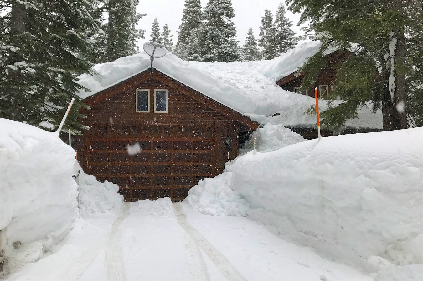
Partial snow load from off of roof

As I detailed earlier (Those Ice Dam Blues), the Tahoe house developed thick ice dams all around to the point where I was getting water intrusion where the dormers meet the roof above the deck.  Turning the poorly-installed heat tape/cables back on, and leaving them on 24/7, let the melt water drain off (and re-freeze into a thick layer on the deck).  I called around and found Millers Roofing would be able to come out and clear the snow and ice from the roof about a week later.  (Boy would that suck if the heat tape hadn’t been able to get the water to drain.)

Well… it would seem that I had some entirely unfounded expectations over what to expect.  I was thinking that a service to clear the snow and ice from the roof would leave the roof relatively clear of both (at least until the next snow storm).  Though I had no idea how they would safely remove the foot-plus thick ice, I was surprised to discover that they apparently don’t actually remove all of the snow or apparently any of the ice.  Six hours of work for three guys (and $2250) and what they do is remove about three-quarters of the snow off the top.  Troy sent me a photo of the front of the house two days after the roof snow removal crew finished (and after another storm dropped some more snow).  Here’s the before/after shots:
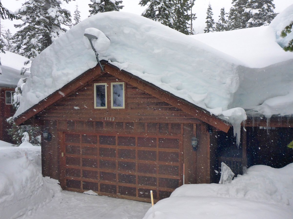

One week before and two days after the clearing work

When I did get to the house about ten days later, I was dismayed to see that while a lot of snow was dumped off the roof, the ice dams remain everywhere around the house except for where the heat tape/cables run beneath the dormers:


And there’s quite the load of snow and ice from the roof on the deck now:


The concern here is how the melt water from the roof continues to fall and refreeze into a slab of ice on the deck – getting up to the door thresholds.  We are starting to get a little bit warmer weather so we’ll see how this goes in the coming months but this clearly needs some work to avoid this mess in the future – both the ice dam formation and the ice slab on the deck.

All of this makes me wonder if it was worth hiring that crew to do that partial snow load removal.  I can see some more shingles are peeling off the roof eaves but maybe it would be worse.  On the other hand, the ice dams remain until they eventually melt away and there’s plenty of snow remaining (and to come) to feed them.  Hopefully there won’t be any water intrusion elsewhere on the roof where there are no heat cables installed.
Click through for the full gallery.

Frie Family Visit in Tahoe

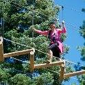
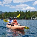
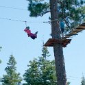
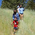
Darlene’s brother John, his wife Sandy, and daughters Joslyn and Carlyn came out to visit in Tahoe for a week.  We were able to finish up our road trip to join them for some activities including hiking, kayaking and climbing in the trees at the treetop adventure park in Tahoe Vista.

Click through for the full gallery:


Things to Do Around Lake Tahoe

This activity list is intended for those who might not be very familiar with the Lake Tahoe area, but staying at our house in Tahoe Vista, on the north side of the lake.  The whole lake is a big tourist destination year round but the north side is less built up than the south side.  There’s of course lots more info available on the web. Read more “Things to Do Around Lake Tahoe”

Hoan’s Family Visit to Tahoe

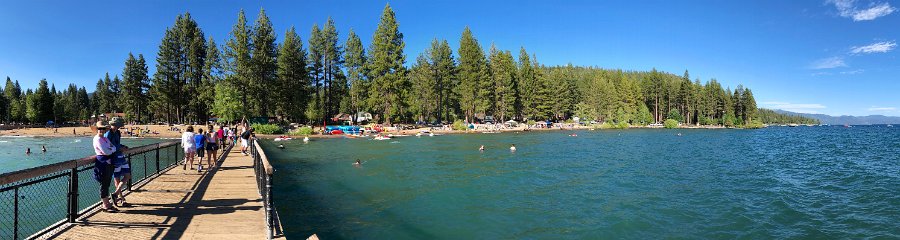
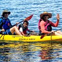
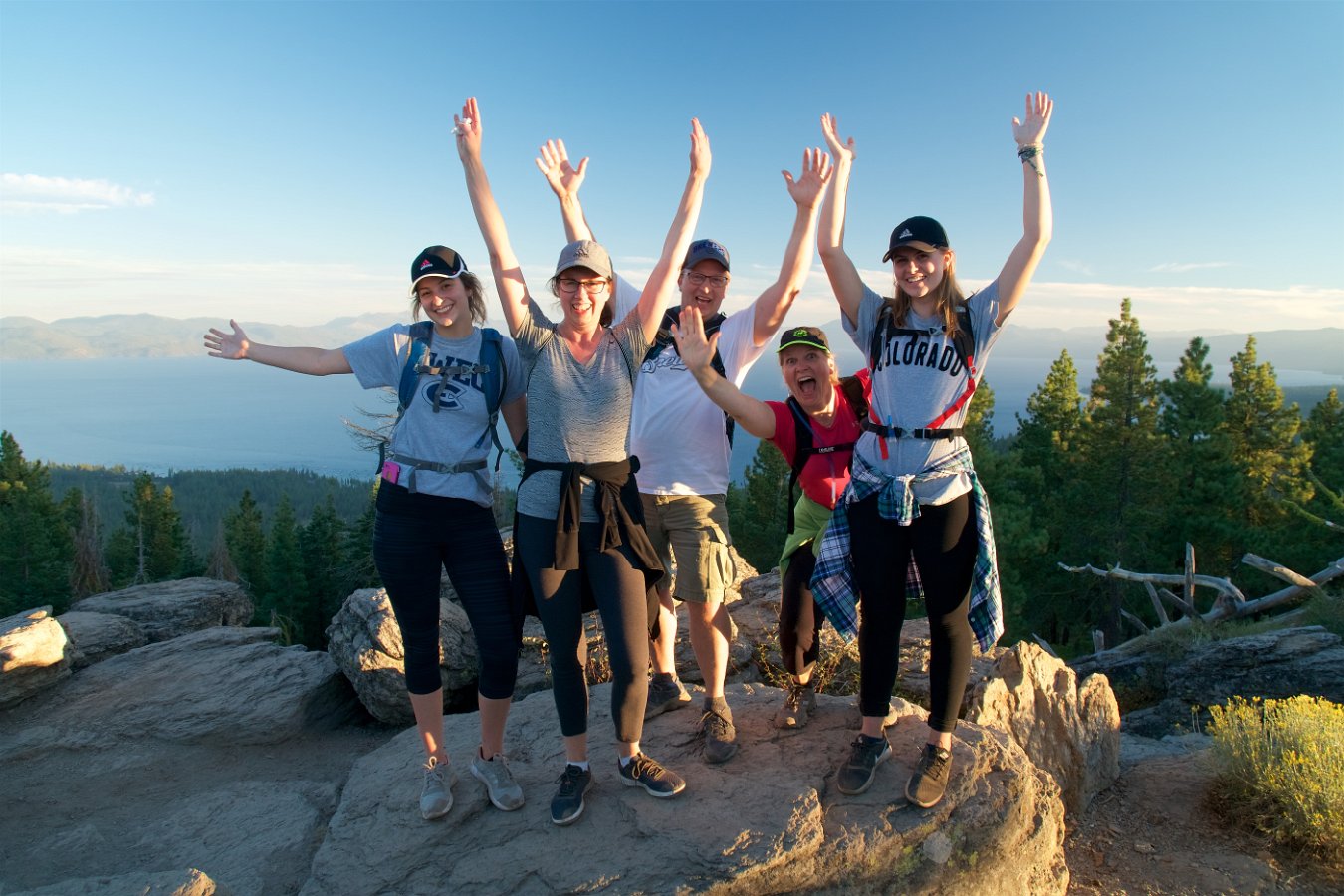
Hoan’s extended family came up to the Tahoe house for 4th of July weekend and Darlene and I were able to join them.  Six adults and six kids at the house!  Over the course of four days, we caught the fireworks at Donner Lake, checked out the nearby North Tahoe Regional Park, hiked up to the vista point on the Tahoe Rim Trail above the house (and Brockway Summit) for a sunset view, kayaked from Homewood to Sugar Point State Park (and back), hiked from Donner Summit through the old train tunnels and hung out a bit at Kings Beach.  Hoan, Samantha, Justine and Phong also gave one of the Tahoe Treetop Adventure Parks a try.  (One of them is just a mile or so from the house.)

Click through for the full gallery – my pics plus some from everybody else:


Return to Mammoth Mountain

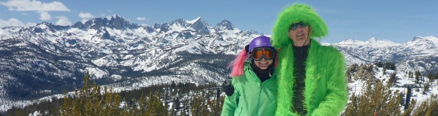
I haven’t been skiing at Mammoth since the early nineties, after college, but it’s where I learned to ski in high school from nearby Bishop.  And I had forgotten what a great big and diverse ski mountain it is – though I’m sure I also wasn’t skiing as much of any mountain’s terrain back then either.  Anyway, driving to Mammoth from Santa Cruz/San Jose in the winter isn’t very convenient (given all the Sierra passes are closed) and  you have to essentially drive by many other great ski resorts to do it.  However, with an extended stay at our new place in Tahoe last week, it was easy to hop down to Mammoth for a couple of days (just a three hour drive) and make use of our Mountain Collective passes.

We got some nice, typical spring skiing conditions: overnight frozen snow, following the sun as the slopes softened up from east to west to north.  Plus Mammoth is so high (peaking at 11,000 ft), it was easy to avoid any sticky slush that would develop lower down.

Click through for the full gallery:

Backpacking the Silver Divide

I had promised Darlene a substitute backpacking trip when we found out she would no longer be able to go on our upcoming backpacking trip in Washington state.  We were able to take four days over the Labor Day weekend and I picked out a promising area that I hadn’t been to north of Lake Thomas A. Edison that would give Darlene another taste of the High Sierra.

We took off Saturday afternoon amid some unusual high temps as well as heavy smoke that had blown down from numerous wildfires in Oregon and Northern California.  It was a five and a half hour drive to get to the trailhead, including an interesting drive over a very rough, one lane road from Huntington Lake that goes over Kaiser Pass at 9184 feet.  We found a spot to camp along the road near the High Sierra Ranger Station on Saturday night and to wait to get a wilderness pass in the morning.

A meadow along Silver Pass Creek

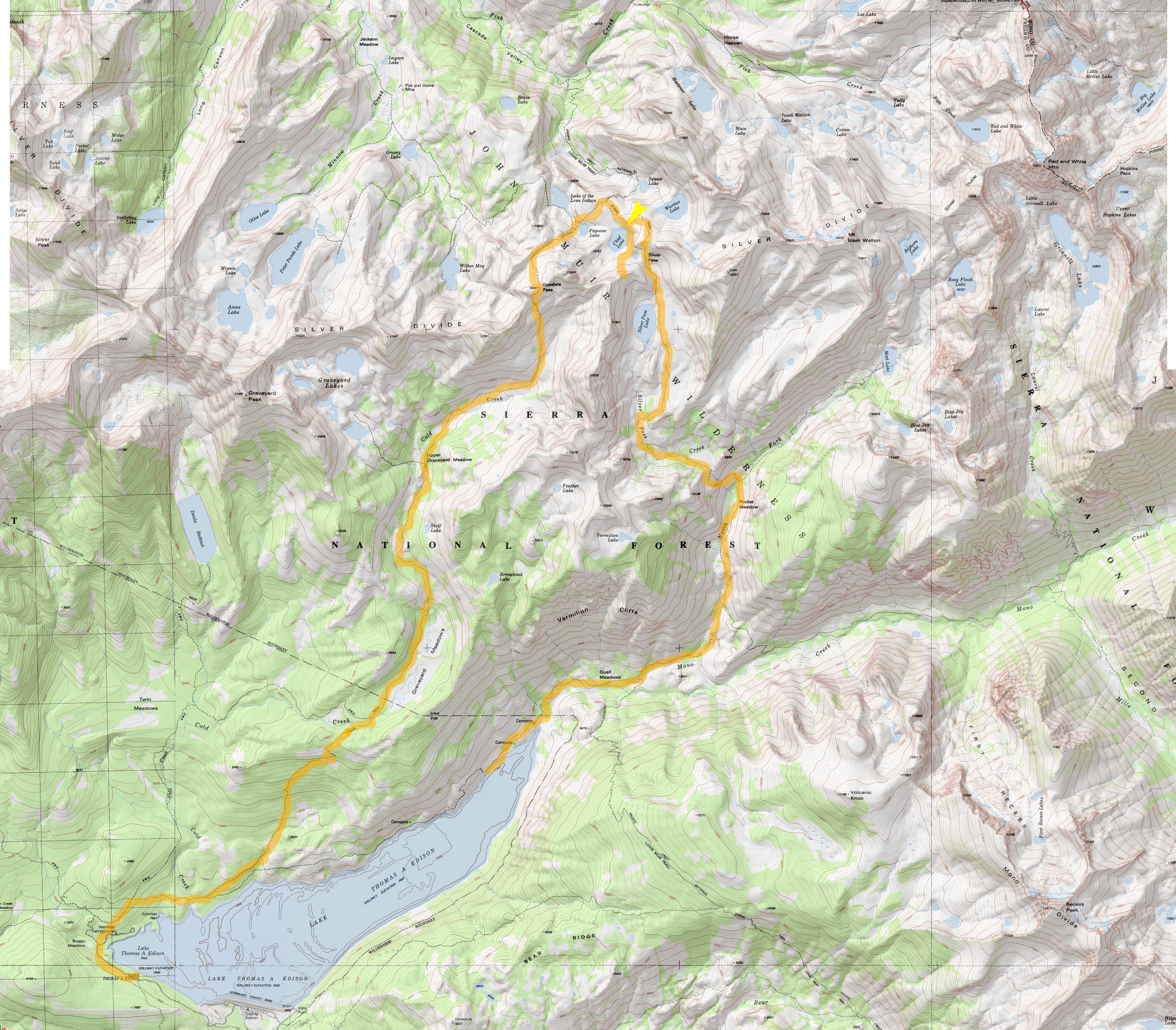
We had our pick of numerous trailheads near Lake Edison but settled on doing a loop up and over part of the Silver Divide by following the John Muir Trail / Pacific Crest Trail over Silver Pass and then returning via Goodale Pass.  (View map.)  The smoke from the distant fires was still pretty heavy and worrisome on Sunday morning but we managed to just barely catch the backpacker’s ferry boat across Lake Edison and that cut out four miles of hiking our way around the reservoir to get started.  From the ferry landing (7643 ft), it’s about nine miles to the top of Silver Pass (10,900 ft).

Our room with a view over Chief Lake at 10,400 ft.

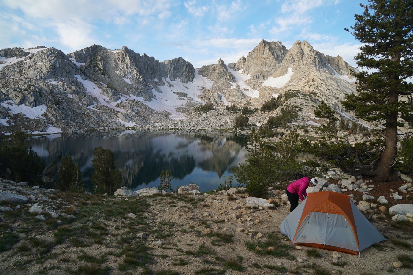
There’s lots of small, alpine lakes scattered along the divide and we found a lovely spot to spend two nights overlooking Chief Lake just below Silver Pass at about 10,400 ft.  Thankfully the smoke wasn’t too bad at altitude and it mostly cleared out overnight with the winds and occasional brief showers.  Not much to see in the way of stars though with a very bright full moon on display.

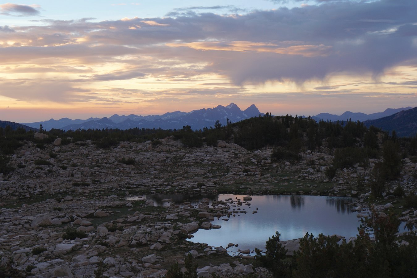
Sunset skies over the distant Minarets to the north

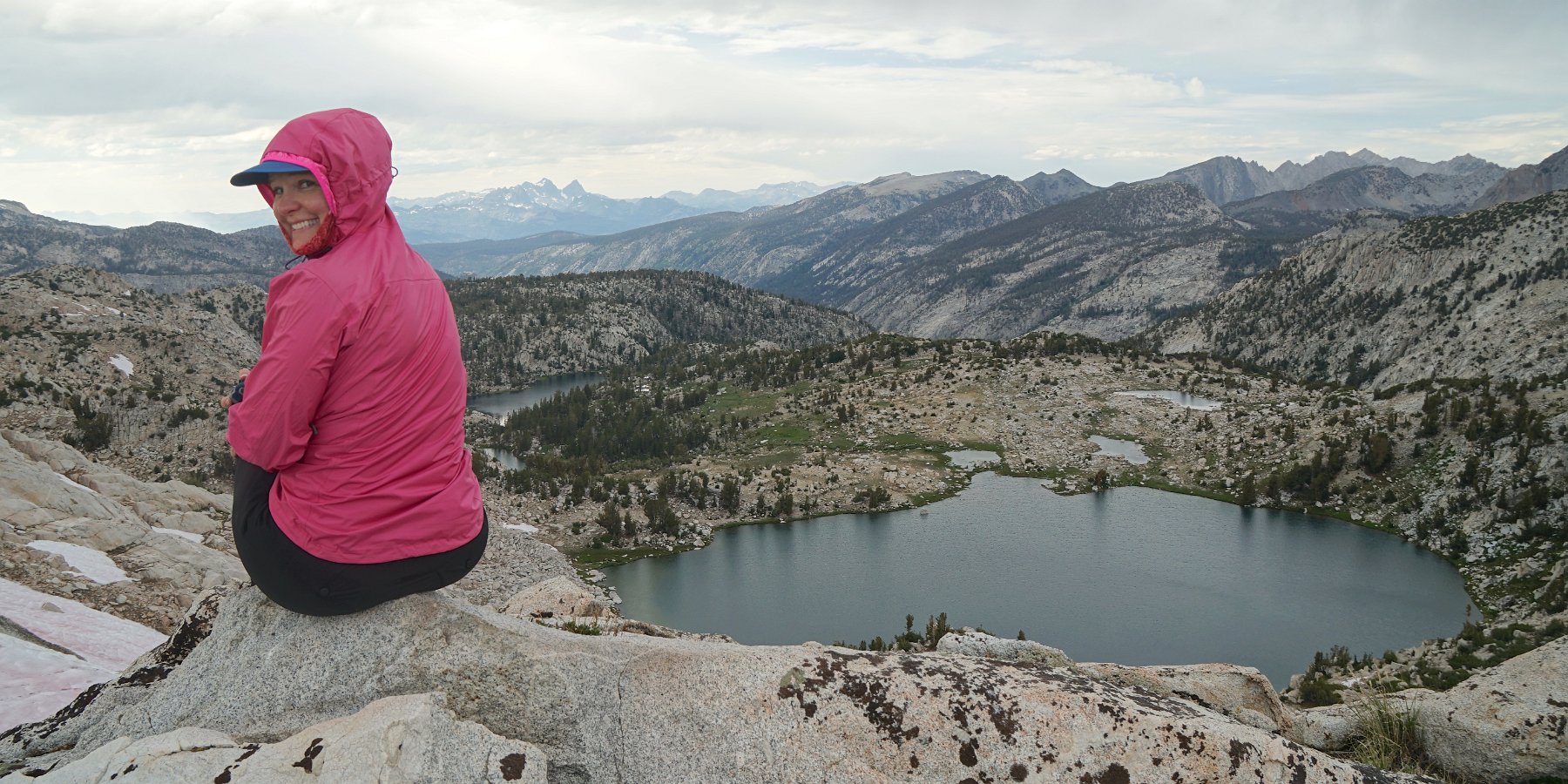
In the morning, we were treated to views of the distant Minarets (part of the Ritter Range) up near Mammoth.  There were a good deal of mosquitos in the morning and evening but not as much as I had feared given our really wet winter this year.  The weather alternated between periods of sunshine and heavy clouds with brief sprinkling while we ventured up a nearby ridge on the Silver Divide to get some more stupendous views of our surroundings.

Enjoying the panorama perched on a ridge above Silver Pass

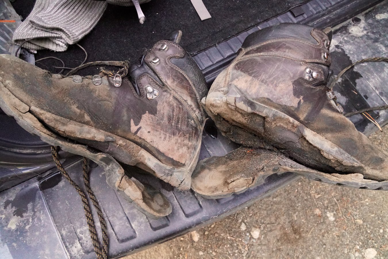
Monday night was tough to sleep through as we had hours of heavy gusting winds but eventually it quieted down.  Our return journey on Tuesday was about 12 miles over Goodale Pass (10,997 ft) down to the Vermillion Resort on Lake Edison.  However, it was clear my boots were not going to make it – the soles were completely disintegrating.  They’re probably also why I lost my footing and ended up crashing into a creek when I attempted to push off one rock to leap to another.  I ended up using my shoelaces to tie the soles to the bottom of my shoes and keep them from coming completely separated before reaching the end of the trail.  I might need some new boots now though.

Click through for the full gallery of pictures.


Around Bishop


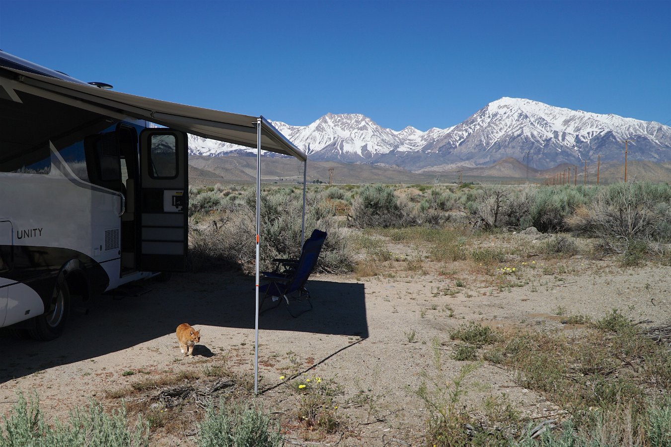
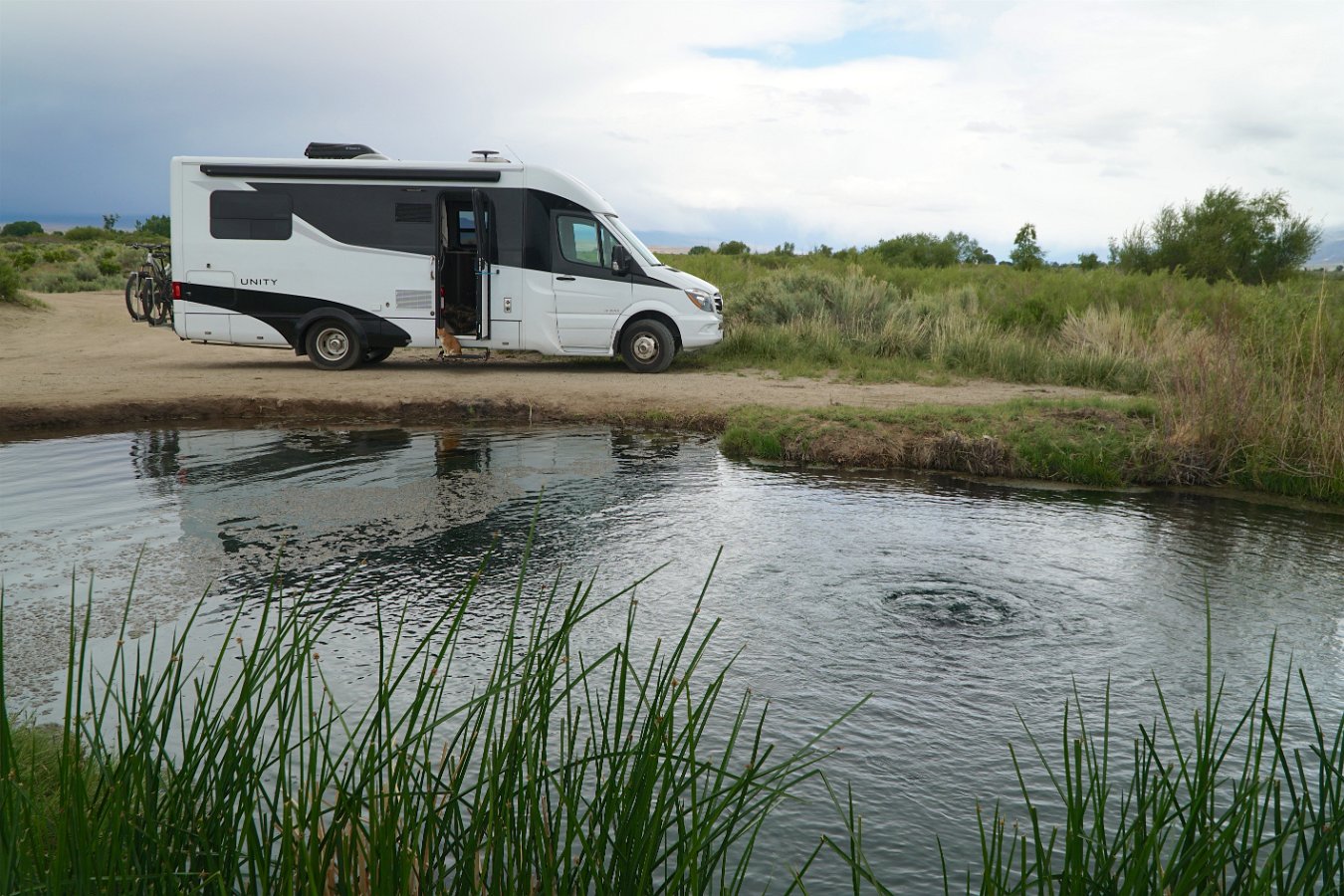
As part of our road trip up through the Owens Valley in mid-May in the Traveling Cat Adventure Vehicle, we spent a few days in the Bishop area.  I showed Darlene around Bishop (where I went to high school), we drove out to Mill Pond and up to Lake Sabrina and then ended up camping out for two nights in the Buttermilk area after going for a hike.  We also visited the Laws Railroad Museum and had a nice afternoon down at a warm spring along the Owens River.

Click through for the full gallery of pictures and video:

Laws Railroad Museum

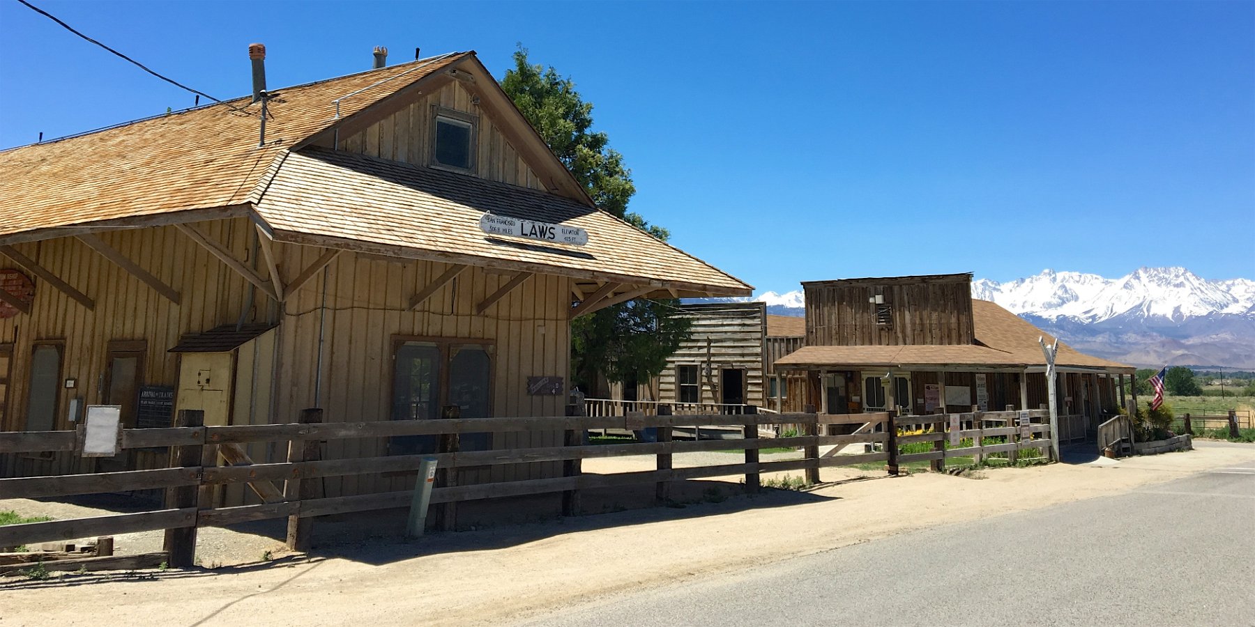
After showing Darlene around Bishop (where my brother and I went to high school), I took her out to see the Laws Railroad Museum.  In some ways, it’s much the same as I remember from riding out with Glenn on our bikes for a day long adventure but it’s also much improved and expanded.  It’s now even more of a great place to visit while touring the Owens Valley and the Eastern Sierra.

Click through for the full gallery.