Exploring Chile’s Atacama Desert

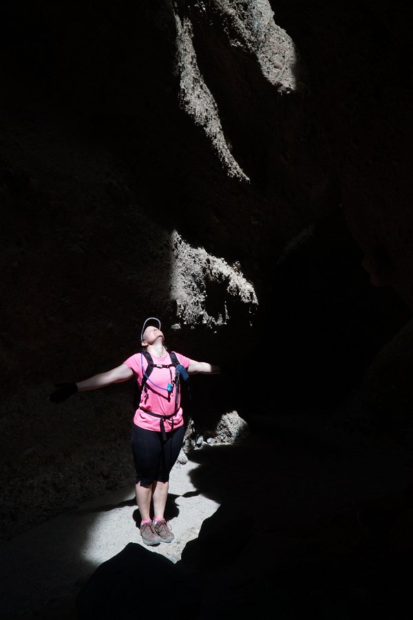
Glenn and Michele are in the middle of a six-month travel adventure (starting in South America) and I was able to fly down and join them in northern Chile at the end of September to get to see some of the Atacama Desert region.  We were able to make arrangements through BikeHike for nine days of guided activities and exploration surrounding the little oasis/tourist town of San Pedro de Atacama, including hiking, biking, horseback riding and several days of trekking.

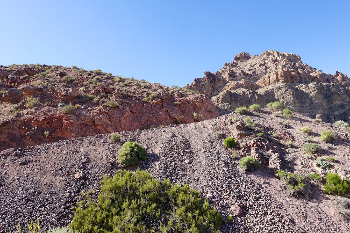
This is the world’s driest desert (in the sense of how little rain ever falls) and it may also be the world’s oldest desert, the region having been hyper-arid for many millions of years.  While it may almost never receive any rain, water does reach the basin from surrounding mountain sources though it all eventually evaporates, leaving behind salt and mineral deposits.  There’s still plenty of wildlife and the area is known for its varied and gorgeous geological formations, resting up against the immense Andes mountains.

Pink flamingos in the Salar de Atacama

Some of the highlights of the trip:

  • Horseback riding and later hiking and sand surfing in “Death Valley”, a beautiful area of red rock and sand dunes which apparently picked up a name mistook from the French priest who tried to name it Valley of Mars (“marte” not “muerte”, in French).
  • Hiking up the Gatchi Gorge to bathe in the hot springs and source of the river Puritama.
  • Trekking from the town of San Pedro de Atacama (7900 ft) up to the high wetlands of Machaca (13,000 ft) over three days and 42 miles, climbing up from desert terrain through river canyon lands to mountain villages and terraces.
  • Biking and walking out among the salt flats and lagoons in the Atacama.
  • Hiking up the little mountain of Zoquete (16,000 ft) above the high altitude El Tatio Geysers
  • Enjoying the magnificent night sky of stars from such a high and dry landscape.  The Atacama area is known as a prime astronomical viewing area for its clear, dry skies and high altitude and there are numerous observatories in the surrounding mountains.

If you’re interested in booking a similar tour, ours was actually put together by BikeHike, whom we’ve done trips with in the past, but they don’t actually offer this region any more.  However, even though our itinerary was customized for us to add a variety of activities, very similar itineraries (including the multi-day trekking and the overnight in the indigenous village of Rio Grande) are actually widely available from numerous tour operators over the web: Chimu Adventures, KE Adventure Travel, Cascada Travel, Amazon Adventures and others.  Despite this, we didn’t really encounter a lot of other tourists – and none at all during the trekking portion.  I believe we were there at the very start of the tourist season though.

Thanks again to Yasu and the rest of the crew for a wonderful little adventure!

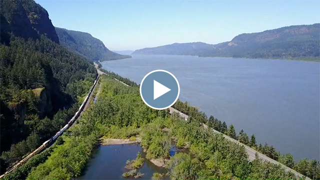
A video montage of our exploration of the Atacama Desert region.

Michele has also posted a couple of times about the trip in her blog:

Click through for the full gallery of photos from our trip:


Summer in Iceland

Well, “almost summer” anyway: Iceland (and most of the North Atlantic) experienced the coldest summer in decades this year – this after one of the warmest and wettest summers ever last year.  So while we remained bundled up from the cold, wind and rain,  Darlene and I had a fantastic time.  It’s a very beautiful place and full of so many places to see and experience that even with 19 days in Iceland we were still forced to skip so much.  Iceland is definitely a wonderful and easy place to visit.  The hardest part is having to pick what not to see (and trying to pronounce or even just copy down the Icelandic place names).  I tried to book lodging to give us multiple days to stay and explore in each area and we consciously left off whole large areas of the country but even so it wasn’t enough: we still felt like we didn’t have enough time in any given area.  Gotta go back!  And yes, I’d like to see it in winter too.

A short video montage of our 19 days in Iceland.

Click through here for my full gallery of pictures and videos from the trip.  Here are just a few highlights from our trip though:

Landmannalaugar


This is an incredibly colorful (and popular) mountain area to explore in the highlands.  Many will set out to do the two-to-four day Landmannalaugar backpacking route to Þórsmörk (I’d like to someday) but we just enjoyed a day of hiking some of the nearby trails through this colorful terrain, followed by dipping in the natural hot springs there.  This was also our first taste of the many rough, gravel roads (including river crossings) that are needed to access many parts of the country.

Skógafoss and the Fimmvörðuháls Trail


This is a gorgeous waterfall to begin with, particularly how it falls on to a flat plain, and even though Iceland is covered with incredible waterfalls, the trail that starts here covers the most fantastic series of waterfalls I’ve ever encountered.  It’s not just the sheer number (as in dozens) of falls that you see along the trail, but the incredible heights, splendor, variety and ferocity of the various falls that tumble down this beautiful gorge that lead up to where the two glacial ice caps (Eyjafjallajökull and Mýrdalsjökull) meet at Fimmvörðuháls Pass.  Many people will hike this trail up and over the pass to Þórsmörk (or all the way to or from Landmannalaugar) but if nothing else, you’ve got to at least spend a day hiking as far as the bridge crossing (as we did).  While there’s an overnight hut at the top of the pass, they say you can do the one-way hike to Þórsmörk in 10 hours or so but I don’t see how it can be done so quickly if you try to take in all the incredible views along the way.

Askja (Vatnajökull National Park)


This was to be our deepest adventure into the highlands of Iceland. Askja is a large volcanic caldera (and crater lake) in the remote central highlands and part of the vast Vatnajökull National Park of volcanic formations, glaciers, lava fields, and the largest ice cap in Europe.  (Notably, this was the area that the Apollo space program used to train their astronauts in geology.)  This excursion was potentially going to be trouble for our little Subaru Outback due to some potentially deep river crossings. As it turned out, the cold weather played in our favor and the river in question was not running too strong (and the weather clear), so we were good to go on our own rather than needing to sign up with a tour operator and their monster trucks/busses. We camped out at the base of Herðubreið but, once again, there was much more to see here than we had allotted time for and I would love to come back and explore more of the area.

Lake Mývatn


This lake region is filled with tons of different geologic formations: geothermal areas, volcanic cones, lava formations, caves and lava tubes, etc.  The name Mývatn means (“the lake of midges”) and oh boy, we can attest that there are a bajillion of them along the water.  I know we short-changed this popular area, having only a day left to hit up the some of the many sites before having to head on to Akureyri.  We did get to see the fissure and water-filled cave Grjótagjá, the tephra crater Hverfell, the lava formations of Dimmuborgir and walk around Höfði to see some of the lava pillars in the lake (and the aforementioned bajillion black flies).  Lots more to see, like the Lofthellir cave and its ice sculptures but it would be a half-day tour just for that.

Herring Era Museum (Siglufjörður)


This sounds ridiculous, but the Herring Era Museum in Siglufjörður (on the northern coast) is a really wonderful experience.  We almost blew it off.  I mean, come on, “Herring Era Museum”?  But it’s really well done.  You get to explore several buildings from the “glory days” of Iceland’s herring fisheries from the early 20th century, including the living and working quarters.  Every room is furnished and filled with personal belongings as well as tools and equipment as it would have been at the time – and not behind glass: most of it is just laying out open and unprotected.  It’s deservedly won several museum awards.  It really feels like walking into the past.  You can pull out a suitcase from under a bunk bed and find it filled with clothing and mementos.  It’s quite the experience!  There’s another building housing a couple of fishing boats “docked” to a pier that’s staged and lighted and feels more like you’re on a movie set than in a museum.  And of course, you can climb aboard and explore below deck or on the bridge.
Snæfellsnes Peninsula


The centerpiece is the Snæfellsnes Peninsula is the glacier-capped, volcanic mountain of Snæfellsjökull and the peninsula is surrounded in fjords, more cool geologic features, and rugged mountains and coastline.  The hike between Arnarstapi to Hellnar was wonderful in particular (with a fantastic cafe at the turnaround in Hellnar…. oh, that skyr cake!!)  We also checked out the Vatnshellir lava tube, the Sönghellir “song cave”, the impressive and intriguing cleft in the cliff Rauðfeldsgjá and made a driving tour of the northern coastal towns on the peninsula. We spied on a seal colony in twilight, tested our strength with the old fisherman’s lifting stones and tried hiking up to the glacier itself but the road was still closed due to snow and the visibility too poor to go very far without a trail to follow.  After three nights at a guesthouse on the peninsula, there was still much we were unable to get to see or explore.

Langjökull and “Into the Glacier”

This is a new experience, opened in June of 2015, where they’ve dug out a series of lighted passages and chambers into the Langjökull glacier.  After being driven up and over the glacier by massive, converted missile carriers, you get to walk down into the man-made tunnel, into the glacier, inside the ice and even see fissures and ice formations from within the glacier.  Very cool!  When we were there, it had just rained heavily the night before and so water was still dripping and seeping through everywhere in the glacier.

Glymur Hike/Waterfall


This short little gem-of-a-hike is definitely worth a half-day to enjoy.  I’m very happy our host at Hotel Á recommended this to us on our final day as we would have missed it otherwise.  It was a great way to cap our trip.  Note that there’s a choice of paths to follow up once you reach the river Botnsá.  I definitely recommend crossing the river and taking the eastern trail (or righthand side of the river).  I think it provides more revealing and thrilling views of the gorge, falls and the valley back to the fjord and car park.

And More to Experience…

A couple of other little surprises to mention are Petra’s amazing stone collection in Stöðvarfjörður in the eastern fjords (and she was quite an interesting character) and the entertaining Settlement Centre presentation in Borgarnes of the Saga of Egil.

I was floored by how frequently and unexpectedly fantastic the meals were throughout the country, even in the smallest villages and most remote guesthouses.  Iceland clearly has a disproportionate share of fantastic cooks and chefs scattered around their country to treat their mostly European tourists.  It’s like being treated to French cuisine in terms of the care and skill… but also in terms of cost: it’s very easy to go US$60-$100 or more for two people.  There is of course cheaper fare in a smattering of fast food, roadside cafeterias but it’s mostly not very appealing.  If trying to keep to a smaller budget, I definitely recommend buying groceries and cooking meals yourself.

I wish we could also have gone to the Museum of Icelandic Sorcery & Witchcraft in Strandagaldur or toured the western fjords or gone backpacking in the Hornstrandir, etc.  Like I said, much to see and experience in Iceland!

Click through here for my full gallery of pictures and videos from the trip.

Yellowstone Safari

Darlene and I enjoyed an extended road trip to Yellowstone and Grand Teton National Parks this summer.  While in Yellowstone, we spent most of our time in safari mode, scouting the prime bear and wolf habitats (Lamar and Hayden Valleys) in the mornings and evenings.  Our perseverance paid off with many sightings: black bears, grizzly bears, wolves, coyotes, fox, elk, moose, bighorn sheep, beavers, marmots, rabbits, geese, cranes, storks and various other birds and rodents.


We did some day hiking but only on busy, populated trails (like the Canyon trail) since there was only the two of us (a minimum of three are recommended for backcountry trails to avoid bear encounters) and we rode our mountain bikes up the north side of Mount Washburn.  After enjoying many days in the north half of the park (Canyon, Hayden Valley, Tower-Roosevelt, Lamar Valley, Norris and Mammoth), I was pretty shocked when we approached the Old Faithful area.  It’s so busy and built-up with parking lots and lodges that it felt like going to a theme park, not a national park.  The geysers and geothermal pools were wonderful and beautiful to see but we were both anxious to escape back to the quieter areas.  If you’re not going to be camping or backpacking, I strongly recommend staying in the Canyon lodge area instead!

A video montage of our time in Yellowstone and Grand Teton.

Click through for the full gallery of pictures and video:


Road Trip: Through Idaho

Highlights from the Idaho portion of our summer road trip to Yellowstone:


We stayed several days in Boise: biking through town and up on some of the trails above the city, floated the Boise River through town, successfully solved (and escaped) the house in Boise Escape and made a side trip to historic Idaho City. After Boise, we visited the World Center for Birds of Prey, stopped off at Three Island Crossing (Oregon Trail crossing of the Snake River) and camped overnight at Craters of the Moon National Monument.  After exploring the lava formations we continued on to Idaho Falls, stopping off for a tour of the world’s first nuclear power plant, Experimental Breeder Reactor #1.  Our final leg included the Mesa Falls Scenic Byway and camping near West Yellowstone.

Return to Kauai

DSC02440v2

Darlene and I just spent twelve days in Kauai, my favorite of the Hawaiian Islands.  There’s just so much to do and explore there – you can never have enough time! Twelve days was still not enough for everything we wanted to do. I last visited Kauai about eleven years ago on an REI Adventures trip.  And, as I found with the extra days after my REI trip last time, I highly recommend Andrew Doughty’s The Ultimate Kauai Guidebook to making the most of your time in Kauai.

DSC02280

We stayed four nights in the southwest, in Waimea, and did a bunch of hiking in Waimea Canyon and Koke’e State Park. Our first full day was along the Awa’awapuhi Trail – out and back only as the Cliff Trail is currently closed due to cliffside collapses.  Another day was the Pihea Trail through the Alaka’i Swamp to the wonderful Kilohana lookout and another day for the Cliff Trail to the top of the Waipo’o Falls.  Every trail was more than the usual adventure (and slow-going) due to all the clay, mud and severe trail erosion, particularly along the Pihea Trail.  Finally, we also explored a little bit in the south near Po’ipu along the beaches and cliffs.

We found ourselves getting a late start on seemingly every day-long excursion so that we were always the last ones out of a given location, which was pretty cool for feeling like we had the place to ourselves and getting pictures without anyone else present.

Our next four nights were at a rented condo in Princeville, overlooking the ocean and we were thrilled to be able to watch the lengthy parade of humpback whales blow and breach right from our lanai.  The super dark night skies here were also fantastic for star watching.  From here, we visited the Kilauea Lighthouse and Wildlife Refuge, hiked the Kalalau Trail through the start of the Na Pali Coast to Hanakapi’ai Falls, checked out a couple of the wet and dry sea caves (including swimming into the “blue room”), watched the winter storms pound the coast around Hanalei Bay and at the “Queen’s Bath” and kayaked one evening up the Hanalei River. (And unexpectedly met Josh, my guide from my previous Kauai trip eleven years ago, who now owns a kayak rental/tour outfit of his own in Hanalei: Napali Kayak Tours.)

DSC02646v2

Our last four nights were spent at a hotel on the east side in Wailua.  From here, we rented kayaks and paddled up the Wailua River and then hiked the remainder to “Secret Falls”.  (This is a very popular and well-known kayak/hike outing.  They’re anything but secret!)  We also visited Wailua Falls and hiked our way down one of the very unofficial trails to swim in the large pool of the falls. Another long day was spent trying to hike into the center of the island and the crater of Waialeale.  Once again there’s no real dedicated trail: it’s more about repeatedly finding and following and re-finding hunters’ trails to make your way as far as you can.  And of course we encountered plenty of mud along the way! We got further than I managed the last time I was here, despite having to hike the road a couple of miles due to fallen trees blocking our rented vehicle.

DSC02654v2

We made a few attempts over the trip to get in some snorkeling from various beaches but were repeatedly thwarted by high surf conditions due to the winter storms and/or too-shallow sheltered waters in low tides.  We finally squeezed in a little snorkeling at Lydgate Park by ignoring the protected but shallow fish-feeding/snorkeling pool and swimming out what seemed like nearly a half-mile on a relatively calm evening.  (We had to go that far out to just get like a dozen feet of depth and find some fish.)  On some future trip I still want to set aside a few days to go out on a boat for scuba diving.  We ended our trip like my first one with a spectacular helicopter tour around the island.

Click through for the full gallery or below for a video montage from the trip:

(5-minute video, 71 MB download)

Revisiting the Galapagos Islands

I originally got to visit the Galapagos Islands five years ago but Darlene has long wanted to go herself.  Of course the Galapagos Islands are well known for their abundant and unique wildlife, their fascinating and beautiful geology, as well as for the inspiration and development of Darwin’s theory of biological evolution.  So, no, I really didn’t mind going back for a second visit!

We were in the Galapagos for twelve days (December 5th through the 16th) and we stayed overnight on the islands of Santa Cruz, Isabela and San Cristobal with day trips out to Santa Fe, Bartolomé, Leon Dormido as well as a few smaller outcroppings.  (Here’s a great map.)  This was a land-based trip (as was my previous trip), but this time I booked the trip through BikeHike.com and extended it with time on our own for four days (and to include San Cristobal).

Our days were filled with hiking, biking, kayaking, snorkeling, and boating as well as with sea lions, iguanas, penguins, giant tortoises, sharks, sea turtles, rays, cormorants, pelicans, frigate birds, crabs and fish!  And great food!  The whole trip was fantastic!  (Thanks again to our guide, Jorgen, and to everyone else who contributed to making this such a fun experience!)

Here’s a little video I put together covering the whole of the trip:

(5:37 minutes, 115 MB download)

And here are my pictures and other video clips from the trip (including some of Darlene’s), separated into four galleries:

Days 1-3: Santa Cruz and Santa Fe


Days 4-5: Bartolomé and Santa Cruz


Days 6-7: Isabela and Sierra Negre


Days 8-12: Santa Cruz and San Cristobal


Mission Peak at Night

Last week Darlene and I had intended to climb Mission Peak for the full “harvest moon” but other things got in the way two days in a row, but we did eventually get a chance to hike up. The hike is a three-mile, 2000 ft. ascent and provides long views of the bay and surrounding communities all the way to the top.

Unfortunately, the air wasn’t too clear this week – smog and likely smoke from the dozen wildfires around the state: so a very deep red sunset and moonrise.


Given that there’s a 10 pm curfew and the moon was already rising too late, we had to head back down before the moon could get high enough to light up our way.  So it was a headlamp hike rather than a moonlight hike.