Bridge Out!

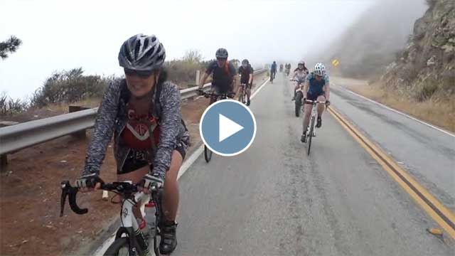
Big Sur got hit hard with the heavy rains earlier this year, with several massive land slides and the forced demolition of the Pfeiffer Canyon Bridge.  This severely isolated the community around Big Sur and so a temporary, emergency foot path was created to allow residents to get supplies.  They’ve since opened up a path through to the public.  So, until the replacement bridge is completed (end of September), you can park down near the road closure at the Pfieffer Big Sur State Park, hike the steep 1/2 mile trail and get to ride highway 1 with much reduced traffic.

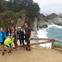
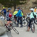
And that’s what I did today with Mark and his family and friends!  We hiked over and rode as far as Julia Pfeiffer Burns State Park and the McWay Falls (about 20 miles round trip).

Click through for the full gallery:


Flying Over Humpbacks

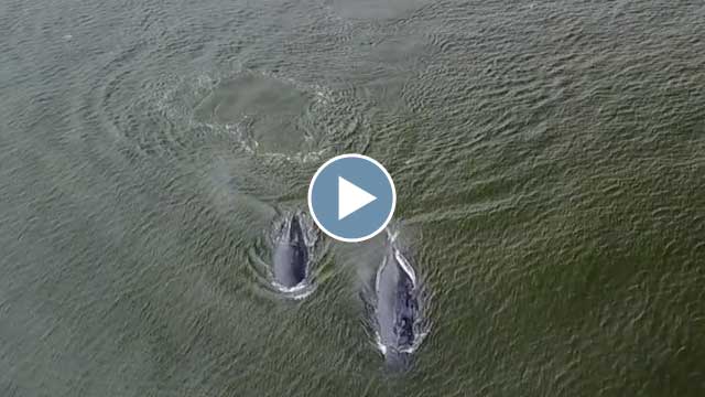
I saw this news article in the Santa Cruz Sentinel this morning talking about how active the humpback whales have been near shore off of Santa Cruz and Aptos these past few weeks.  So Darlene and I grabbed the drone and dashed down to Seacliff State Beach.  I’ve been wanting to try flying the drone to get nice, aerial views of the whales.  (A lot of the coastline is protected via the Monterey Bay Marine Sanctuary but flying in this area is allowed.)

There were probably a dozen of them near shore – you could see them popping up every which way!  The lighting wasn’t great (completely overcast) as the marine layer had yet to burn off but it was still very fun to hang around with the drone waiting for them to appear.

It’s quite the challenge to find them and stay with them using the narrow view of the drone’s camera – even when you can easily see them from shore.  Darlene was helping by watching the feed with the goggles because it’s also hard to see small/distant details on the iPhone or iPad screen, particularly when you’re outside. It’s much easier to see with the goggles but then of course all you can see is what the drone sees.

It was hard tracking them too because once they go under it’s hard to predict where to be looking when they come back up. You want to get closer for more detail but if you’re too close you won’t see them at all when they resurface off camera (which happened repeatedly) – and of course not so close as to harass them.  I should point out that the limited view angle of the drone’s camera makes them appear closer than they really are and yet I still had to heavily crop every one of these clips to make the whales appear large enough in the frame – even in the most distant shots.

I did put a polarizer on the drone camera to try to cut through the reflection of the water surface but it didn’t work that well with the diffuse overcast light so it might work better in directed sunlight.

Need more practice! ;-)

On the Mendocino Coast

Last week, Darlene and I were able to spend six days following the Mendocino Coast (with the cats in the Traveling Cat Adventure Vehicle, of course), continuing north from where we left off on the Sonoma Coast in December, just north of Fort Ross.  We discovered that all the state park campgrounds were full going up the coast for the coming days but we kept managing to find something.

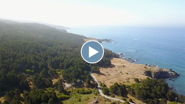
We stayed the first night at Stillwater Cove and then snagged a spot in an overflow area at Salt Point State Park, where we spent an afternoon mountain biking up to the top of the park and part of the morning flying the drone around.  We visited the Point Arena Lighthouse, which turned out to be more interesting than I expected and we snagged a nice spot in another overflow area on the beach at the Van Damme State Park.  We were able to grab a vacated spot in the park the next morning and then headed out to explore the Mendocino Headlands.  We also checked out the Russian Gulch State Park.

This area around Mendocino has a lot of cool sea caves – we’ll need to come back some time and book a guided sea kayak tour to check them out.  Fort Bragg turned out to be pretty uninteresting and we just passed through, stopping at MacKerricher State Park instead for lunch and to walk around.  Our final and fifth night was at Westport Union Landing State Beach overlooking the bluffs.  At this point, Highway 1 turns inland and you leave the coast for good.  Our last day was essentially spent just getting back home to lots of traffic jams.

Click through for the full gallery:


Escape to Death Valley

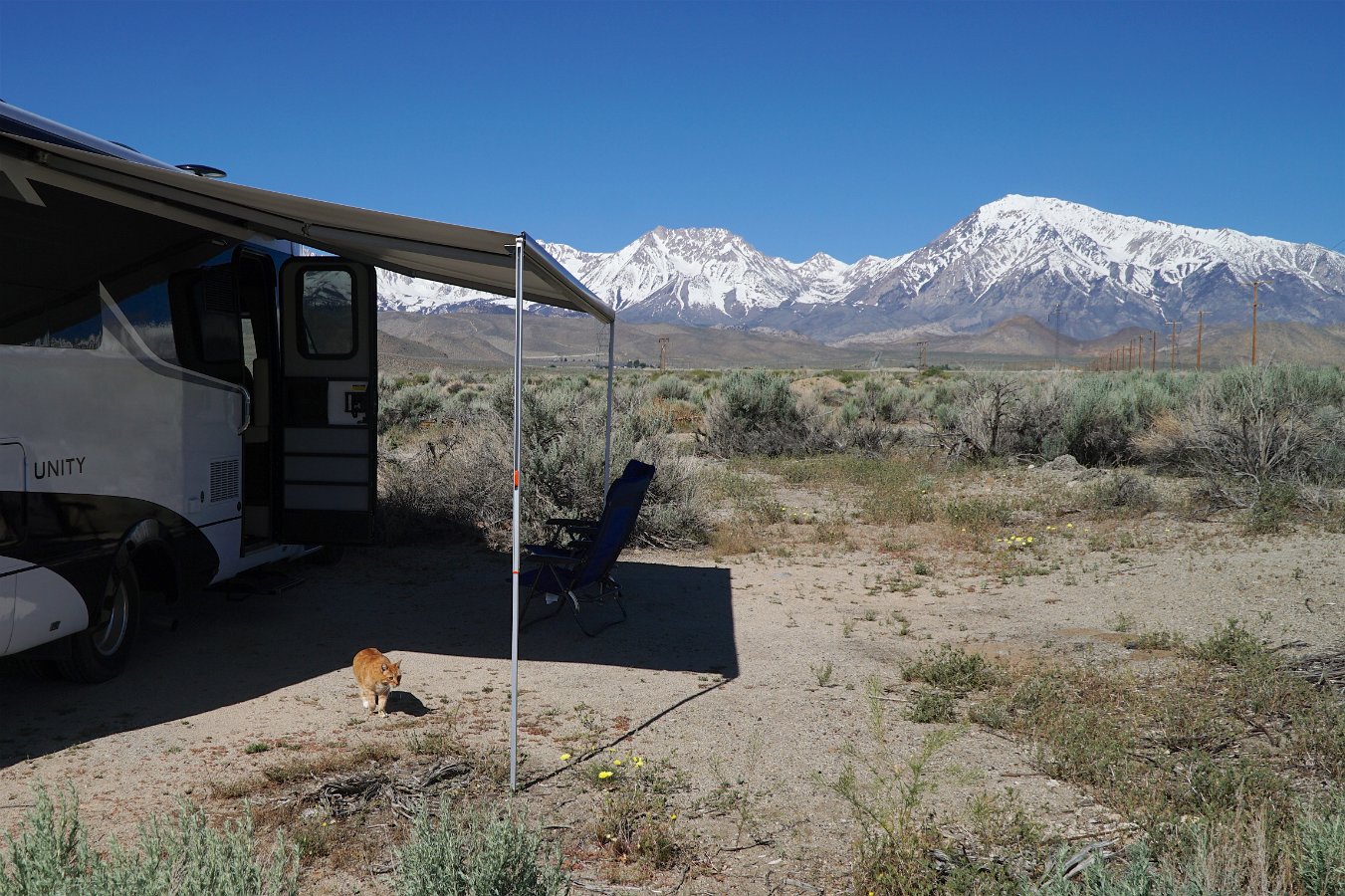
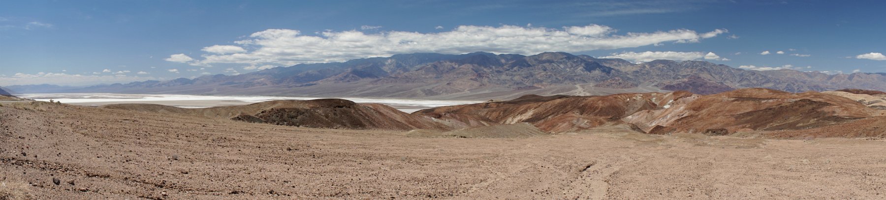
When we set out on our mid-May, nine-day adventure in the Traveling Cat Adventure Vehicle, we headed for the Eastern Sierra because a very cold storm front was dominating everything more northerly.  Well, with just a few days left, we saw the storms and cold weather were now reaching Bishop so we decided to turn south and escape the storms by heading to Death Valley National Park.  With 95+F degree temperatures, we certainly escaped the cold front.
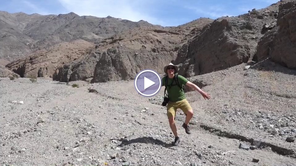
  

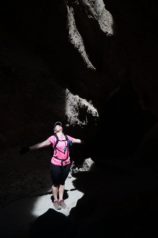
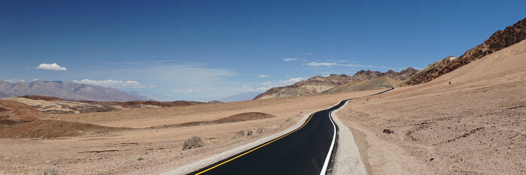
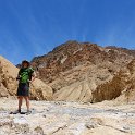
Coming into the park late, we struggled to find some dispersed camping the first night and ended up settling for a space at the Stovepipe Wells “campground” (aka, a parking space).  Over the next two days we got to explore some fantastic slot canyons up Sidewinder Canyon, checked out the Artists Palette Drive, hiked up Golden Canyon, camped out in Greenwater Valley, and drove the Traveling Cat Adventure Vehicle all the way to (and through) Titus Canyon.

Oh good grief that was terrifying: driving the 24-mile Titus Canyon Road in a 25 ft. Sprinter-based RV.  I’ve driven that dirt road decades ago in a compact 4WD and it was fun and uneventful, but I couldn’t remember what the entire road was like.  Mind you, we checked with the ranger beforehand for advice on appropriate roads but there clearly must have been some misunderstanding.  As it turns out, it starts out merely annoying with miles of washboard dirt road and the finale in Titus Canyon itself is easy and gorgeous but in the middle you have miles of narrow, very steep and twisty unpaved road with sheer drops on one side or another in a tall, heavy, long-wheelbased RV that teeters side to side over every little uneven track no matter how slowly you try to creep forward and the gravel gives way and the vehicle slips forward under the 10,000 lbs of weight when you try to stop your forward momentum.  And Titus Canyon Road is technically a one-way route!
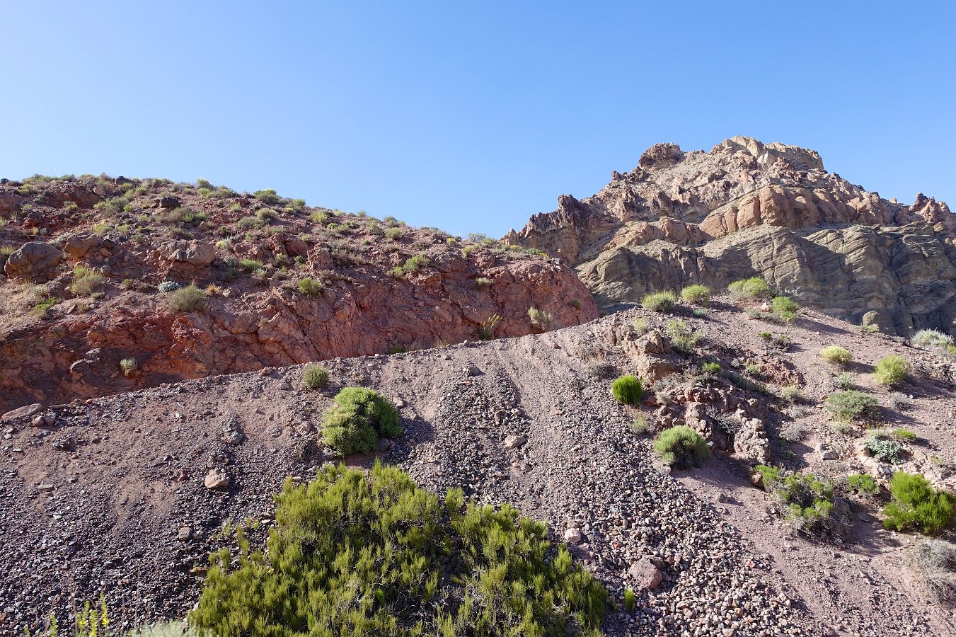
At a couple of points, we had to stop to fill in some large potholes with rocks to keep the vehicle from tilting any more dramatically.  I regret not taking any pictures or video while in the truly scary stretches but at the time all I wanted is to just get through it without falling over or slipping over the side.  I’ll never do a road like that again in such a vehicle!
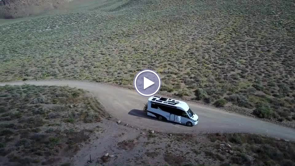
We survived though and Titus Canyon itself was marvelous.  In hindsight, it would’ve been more pleasant to park at the exit of the canyon and ride our bikes in (which is allowed).  A mighty dust storm punctuated our evening departure but we found a place to stop and sleep off a dirt road outside the park.

Click through for the full gallery of photos and videos:
   

Around Bishop


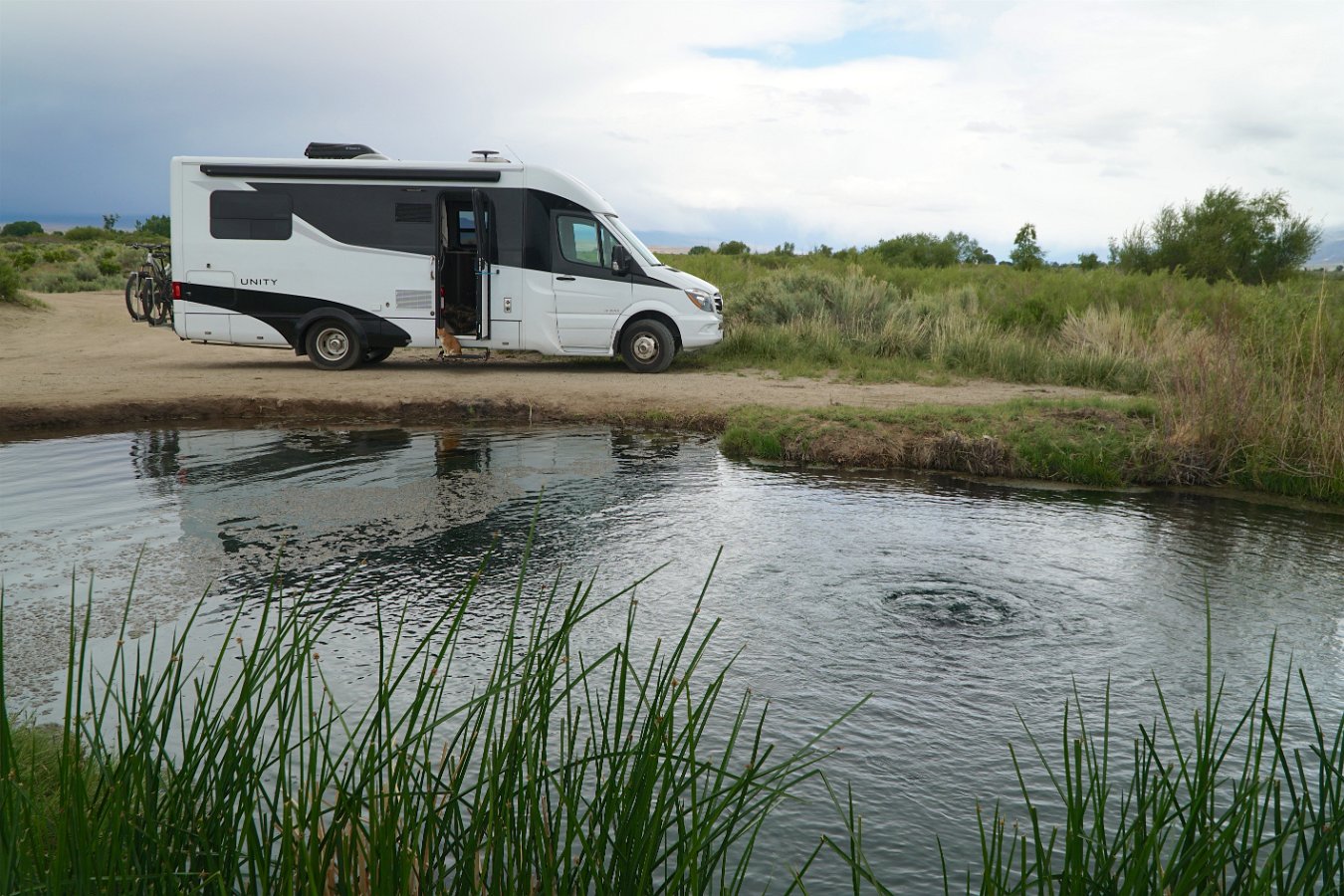
As part of our road trip up through the Owens Valley in mid-May in the Traveling Cat Adventure Vehicle, we spent a few days in the Bishop area.  I showed Darlene around Bishop (where I went to high school), we drove out to Mill Pond and up to Lake Sabrina and then ended up camping out for two nights in the Buttermilk area after going for a hike.  We also visited the Laws Railroad Museum and had a nice afternoon down at a warm spring along the Owens River.

Click through for the full gallery of pictures and video:

Laws Railroad Museum

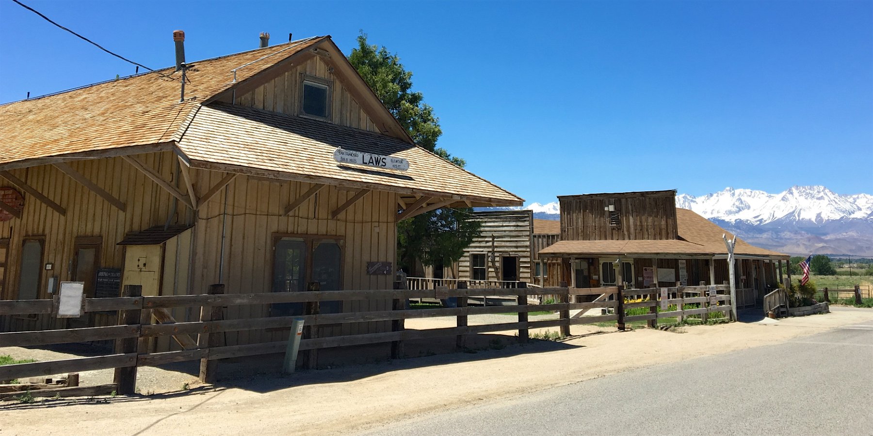
After showing Darlene around Bishop (where my brother and I went to high school), I took her out to see the Laws Railroad Museum.  In some ways, it’s much the same as I remember from riding out with Glenn on our bikes for a day long adventure but it’s also much improved and expanded.  It’s now even more of a great place to visit while touring the Owens Valley and the Eastern Sierra.

Click through for the full gallery.

Ancient Bristlecone Pine Forest


Click through for pictures and video from our attempt to visit the Ancient Bristlecone Pine Forest (oldest living trees on Earth!) while on our Owens Valley road trip in the Traveling Cat Adventure Vehicle in mid-May.  Unfortunately, the remaining snow from this winter’s very heavy storms kept us from driving all the way and then we attempted to continue on our mountain bikes but it was just too much snow!  We stayed up there two nights though and got to watch the sunrise spread over hundreds of miles of the Sierra Nevada from the vantage of that fantastic Sierra vista point up there:

Revisiting Manzanar


Darlene and I spent several hours at the Manzanar National Historic Site on our visit to the Owens Valley in the Traveling Cat Adventure Vehicle in mid-May.  I went to high school in Bishop in the 80’s, so I’ve certainly seen Manzanar before, but it’s quite different since I last visited.  They’ve converted what had become a county storage shed but was originally an auditorium in the internment camp into a very impressive and engaging interpretive center.  You can now see some of the belongings and artifacts of the people who were forcibly relocated there during World War II as well as hear recordings of their stories and enter restored versions of some of the camp buildings. It’s an incredibly well done exhibit and all the more relevant today with all of the new fear mongering going on.  It’s definitely worth half a day or more to visit.

Click through for the full gallery.