Whales at Moss Landing

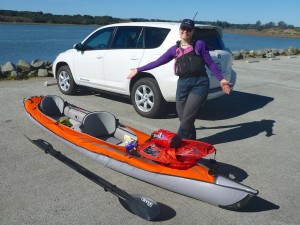
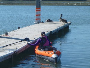
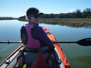
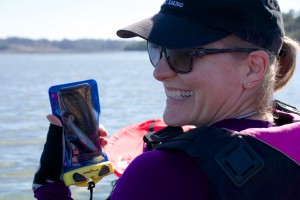
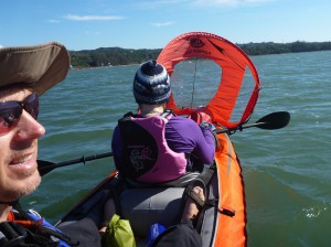
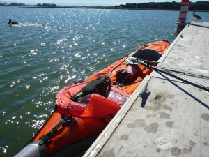
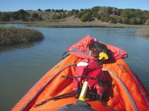
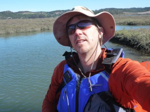
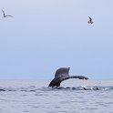
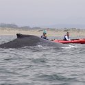
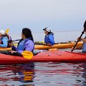
There’s been loads of humpback whales in Monterey Bay this summer and Darlene and I finally had a chance to go on a whale-watching tour by kayak out of Moss Landing this past Sunday with Dave of Venture Quest Kayaks.  Thanks once again, Dave!  We had a great time and encountered numerous humpback whales diving and feeding together, once even coming up between our kayaks, as well as saw plenty of others off in various directions, blowing, diving and even breaching in the distance.  After a snack break back at the boat launch, we headed in to the Elkhorn Slough with the aid of some handheld kayak sails.

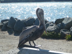
In addition to all the whales, we also saw plenty of other wildlife: lots of harbor seals, sea lions, otters, egg yolk jellyfish, starfish, porpoises, pelicans, gulls, terns, sandpipers, cormorants and even an egret.  A couple of people saw a mola mola pass under, but we missed that. D’oh!
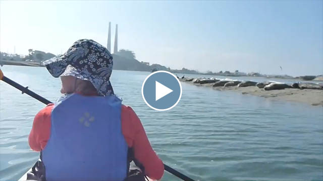
However, our kayak was boarded in the slough by a sea otter “patrol” – apparently inspecting us for goodies… or contraband?  (Check out the video below.)

We had so much fun on Sunday that we decided to sign up to come back the very next morning. On Monday, the entire bay was incredibly calm but we really had to work to find any whales. We had to paddle out nearly three miles into the bay to find them, but find them we did! Or perhaps they found us…

A short video montage of our two days of kayaking (4.3 minutes, 70 MB)

Click through for the full gallery of images from both days:


Mission Peak at Night

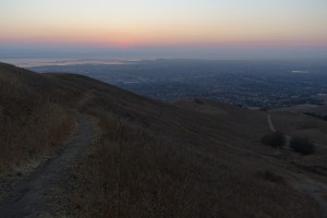
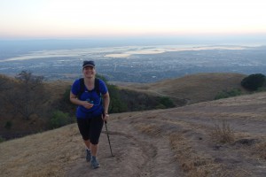
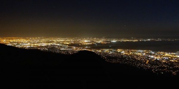
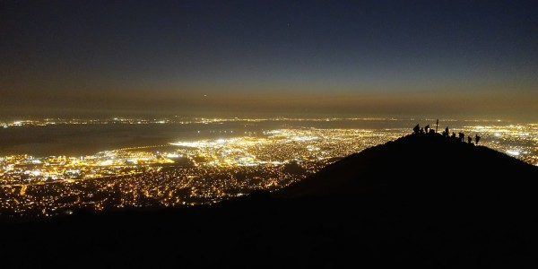
Last week Darlene and I had intended to climb Mission Peak for the full “harvest moon” but other things got in the way two days in a row, but we did eventually get a chance to hike up. The hike is a three-mile, 2000 ft. ascent and provides long views of the bay and surrounding communities all the way to the top.

Unfortunately, the air wasn’t too clear this week – smog and likely smoke from the dozen wildfires around the state: so a very deep red sunset and moonrise.


Given that there’s a 10 pm curfew and the moon was already rising too late, we had to head back down before the moon could get high enough to light up our way.  So it was a headlamp hike rather than a moonlight hike.

Riding Lake Tahoe Trails

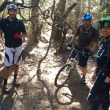
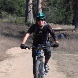
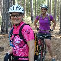
Darlene and I went up to Lake Tahoe for a couple days of mountain biking midweek last week.  We did a bit of Sawtooth Ridge near Truckee after driving up on Wednesday – these are some nice wandering trails overlooking the Truckee River and highway 89 – and chipmunks everywhere!

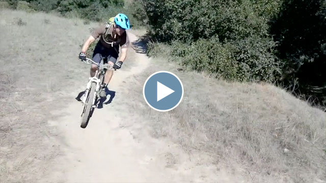
On Thursday we went for a full day’s ride centered around the awesome views of the Tahoe Flume Trail, overlooking Lake Tahoe.  Here’s a two-minute video montage from the ride:

Tahoe Rim and Flume Trails

Richard fell sick and wasn’t able to join us so we caught the shuttle up to Tahoe Meadows (near Mt. Rose).  Our route started with the Tahoe Rim Trail heading south, then catching the Red House Flume Trail running clockwise, then back up the Sunflower Hill Trail, round Marlette Lake until finally getting to enjoy the Flume Trail proper.  Sweet and long 25-mile day with lots of breaks to enjoy the views and even snag a geocache along the way.

Click through for the full gallery:


Big Basin Camping

Darlene and I joined Laura, Rachel and Sanna for two nights of camping in Big Basin State Park (in the Santa Cruz mountains) earlier this week (Monday-Wednesday).  The creek was nearly dry due to the drought but we enjoyed some great hikes in wonderful weather, several successful geocaching finds and an overabundance of yummy food, including shish kebabs and brats over the campfire.  Thankfully there were practically no mosquitoes (nice change from our backpacking here in May) but we did have to fend off frequent forays by the numerous, brazen raccoons all around the campgrounds.  One of which snagged our buns as we were getting things ready for our brat fest!  The nerve!

Click through for the full gallery:


Backpacking the Lost Coast

Darlene and I joined Abhi, Komo and Anjali on a backpacking trip along part of California’s “Lost Coast”, led by Mike through the Outdoor Adventure Club.  The “Lost Coast” is a remote and undeveloped stretch of coastline in northern California, north of Fort Bragg and south of Eureka.  We hiked the northern section from Mattole Beach down to Black Sands Beach (near Shelter Cove) over three days, August 9th-11th.  Due to the steep coastal terrain, you’re often hiking the beach – several long sections of which are impassable during high tide and so you need to plan around the tide tables.

Click on through for my gallery of pictures and videos, including some from Darlene, Abhi and Mike:

    map

Twelve Days of Croatia

Darlene and I recently enjoyed a twelve day trip to Croatia, booked through REI Adventures.  (June 27th to July 9th)

Our trip started in Zagreb and we worked our way south through Dalmatia and down to Dubrovnik, with a side excursion through Bosnia-Herzegovina.  As an active, multi-sport trip, we enjoyed lots of hiking, biking, river and sea kayaking, as well as just seeing and exploring various sites along the way.

Here’s a video montage I put together covering much of our trip:

I’ve organized the pictures into four different galleries:

Days 1 -4:  Zagreb, Plitvice Lakes National Park, Zrmanja and Krupa Rivers, and Novigrad


Days 5-7:  Paklenica National Park, Vrgada Island, Skradin, Krka National Park, and Trogir


Days 8-9:  Split, Trebižat River, Mostar, and Ston


Days 9-12:  Dubrovnik, Zaton and the Elafiti Islands


Cycling Around Lake Tahoe

Darlene and I joined some of her cycling friends in a biking event around Lake Tahoe this past Sunday, June 1st: “23rd Annual America’s Most Beautiful Bike Ride“.  The main route is 72 miles around the lake and a total of about 4000 ft of elevation gain.

DSC02739
Click for the full gallery of pictures

Here’s a short (three minute, 50 MB) video montage I put together of the whole ride around the lake:


Eastern Sierra Cycling Weekend

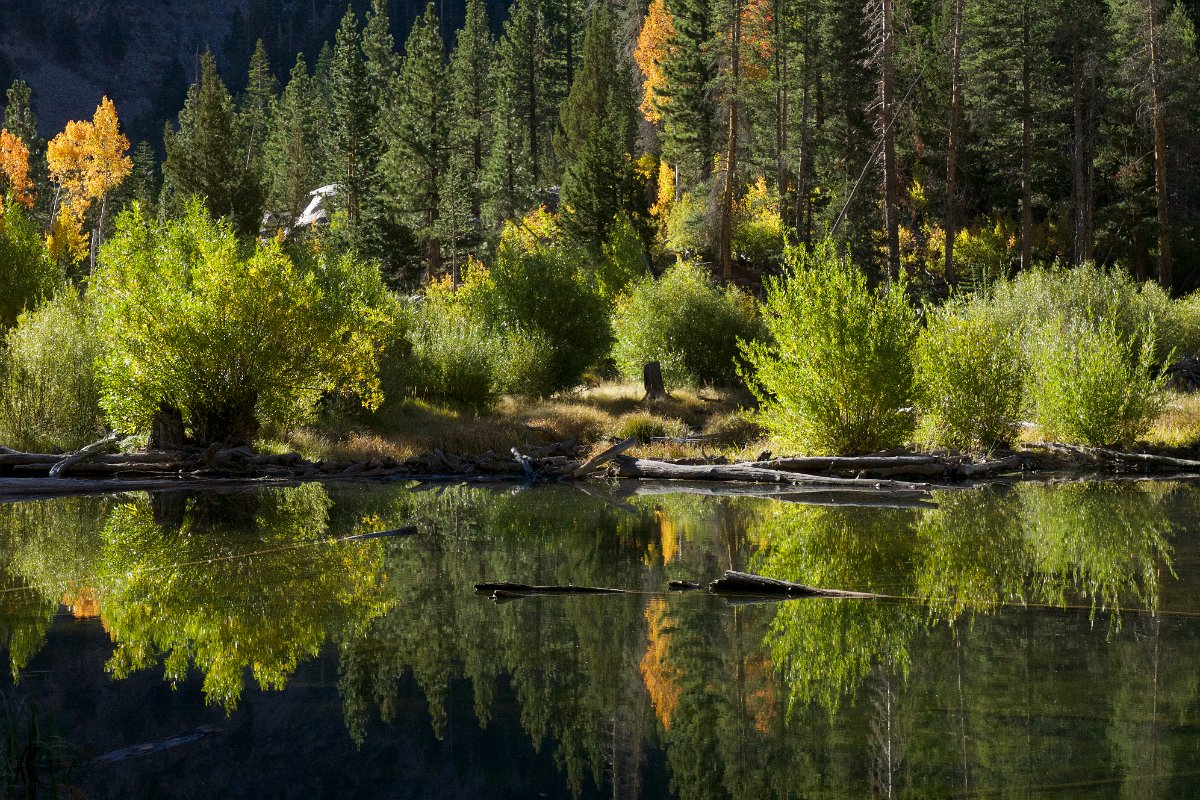
Here are some pictures and video from a few days of cycling and camping in the Eastern Sierra in and around the Mono Lake Basin, Mammoth and June lakes, Long Valley and Rock Creek Canyon over May 24th-27th.  It was Darlene’s first time seeing the area.  We came over by way of highway 108 and Sonora Pass and down through Bridgeport and Lee Vining to camp out on national forest land near highway 395 and June Lake on Saturday night.

Mono Lake (click for full gallery)

Sunday we set out for a bike ride to the South Tufa area at Mono Lake via the June Lake loop.  That worked out to about 38 miles.  Afterward, we stopped in for groceries at Mammoth Lakes and then set out on Benton Crossing Road to find a nice spot in the rocky hills east of Crowley Lake to use as our base camp Sunday and Monday nights.  That night I was up late exploring the wonderfully dark (and moonless) skies with my telescope.

Long Valley looking towards Mammoth
Long Valley looking towards Mammoth (click for full gallery)

Monday morning we left our camp standing and drove into Tom’s Place at the base of Rock Creek Canyon to set off on our bikes to climb the 2600 ft. up to Rock Creek Lake (at 9682 ft).  Alas, there was to be no Pie in the Sky today at the Rock Creek Lodge so lunch was back down at Tom’s Place.

After breaking camp on Tuesday we stopped in at Mammoth Lakes again for breakfast and a bit of shopping before heading home, this time via Yosemite and Tioga Pass/Road.