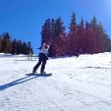
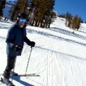
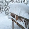
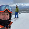
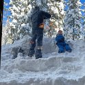
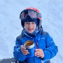
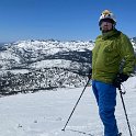
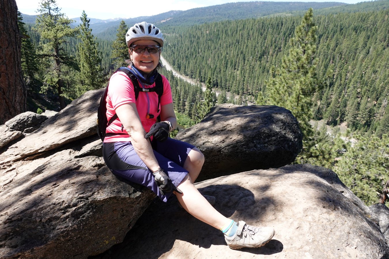
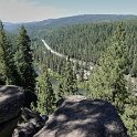
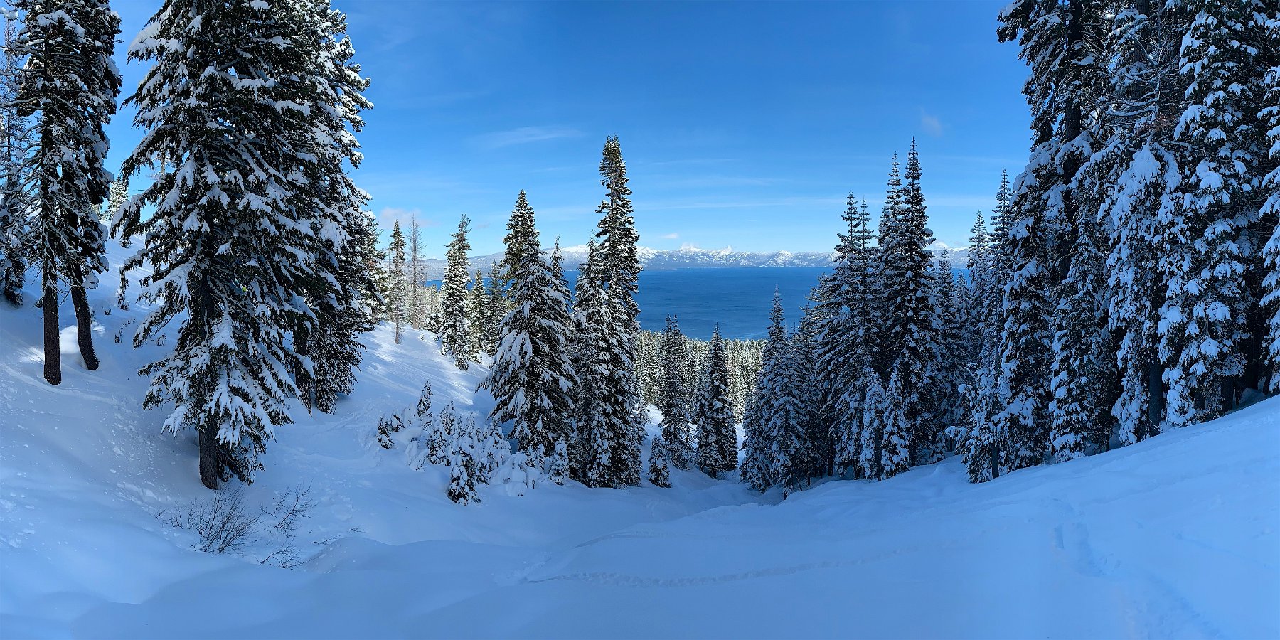
We got our gaming group together in Tahoe in early February for a few days of skiing and board gaming. Geof and Nacho joined me on the slopes at Tahoe Palisades while Jennifer, Adriana, Laurie and Richard checked out the lake and old town Truckee – and Laurie got in an afternoon at Northstar.
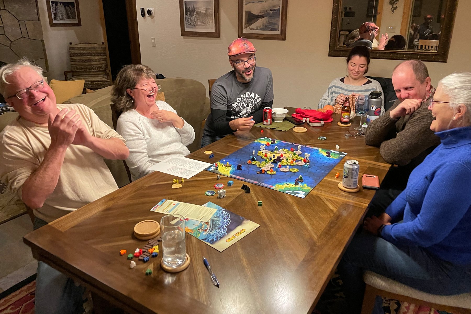
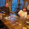
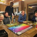
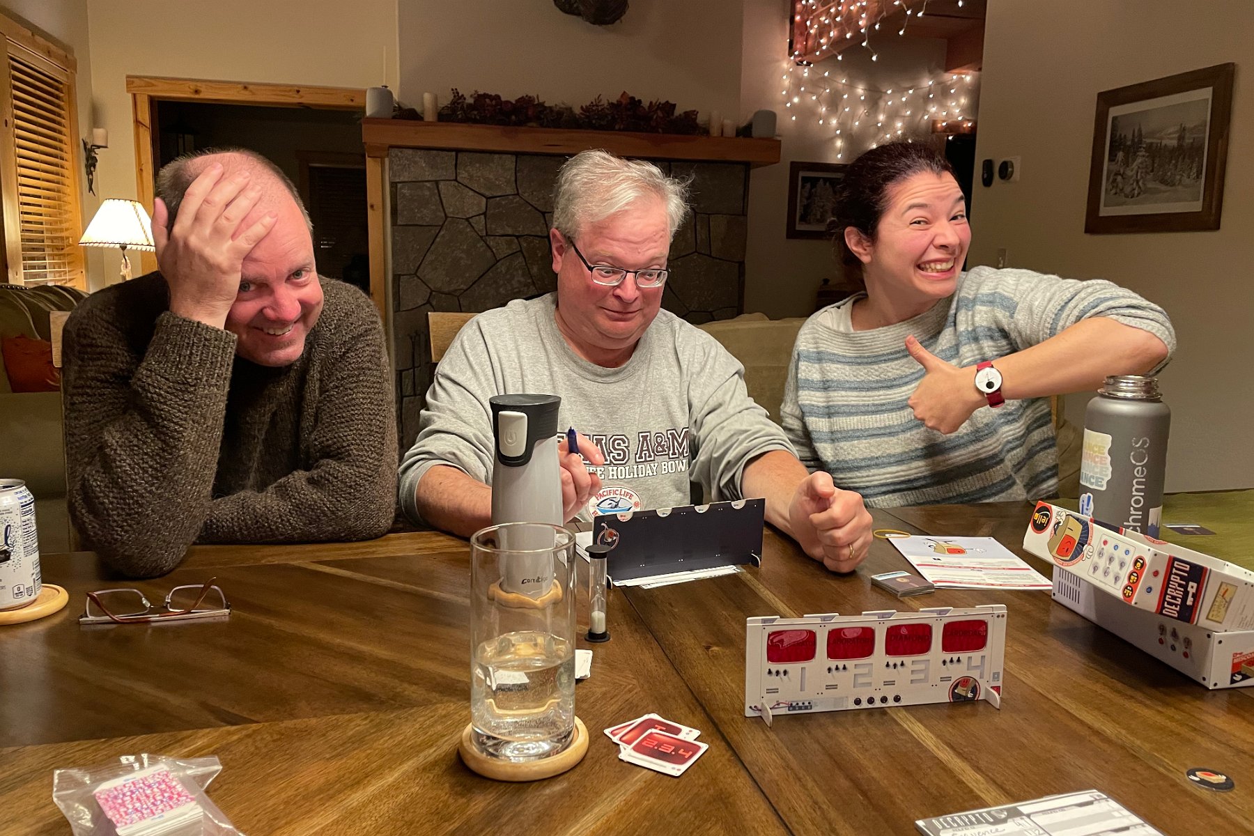
We had exploding potions in Quacks of Quedlinburg, color confusion in Hues and Cues, pushed our luck in Diamant, placed our bets in Wits & Wagers, rolled for the top in Mountain Goats, intercepted secret codes in Decrypto, managed our tricks in both The Crew and Instinct, swam with sharks in Survive: Escape from Atlantis!, built up a map of cities and roads in Carcassonne, dodged avalanches in Slide 5, and laid out our “stained glass” dice windows in Sagrada.
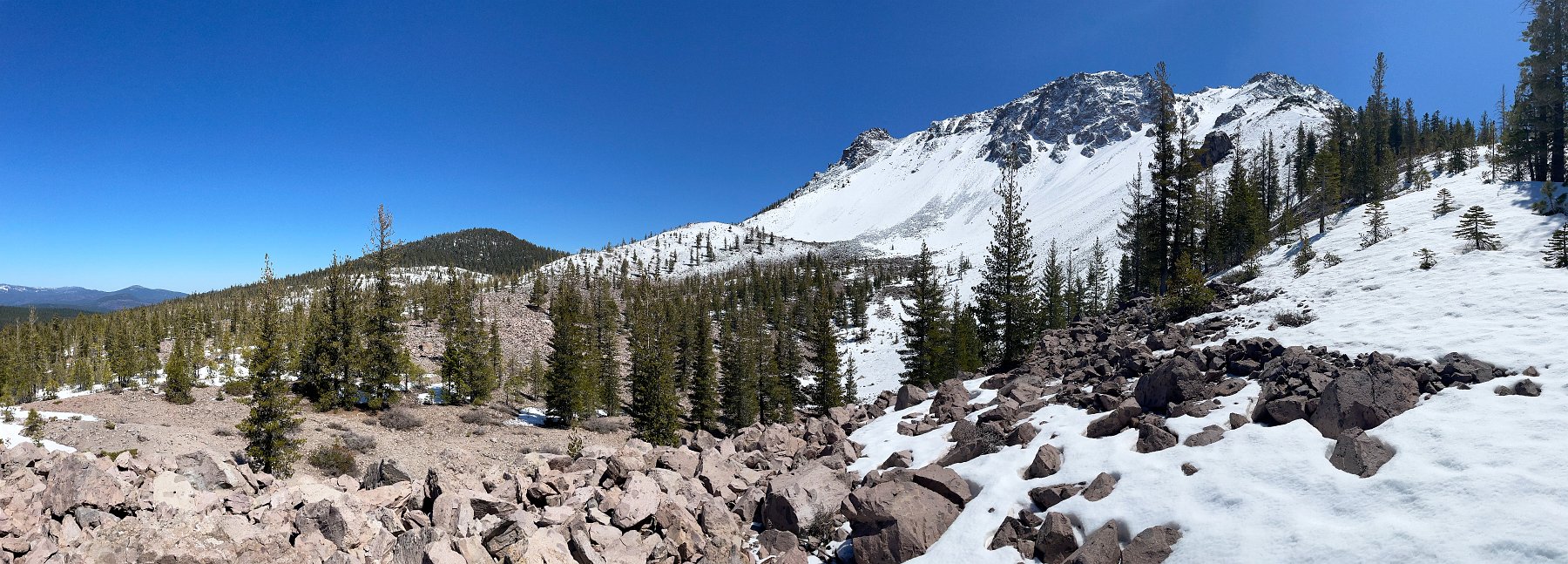
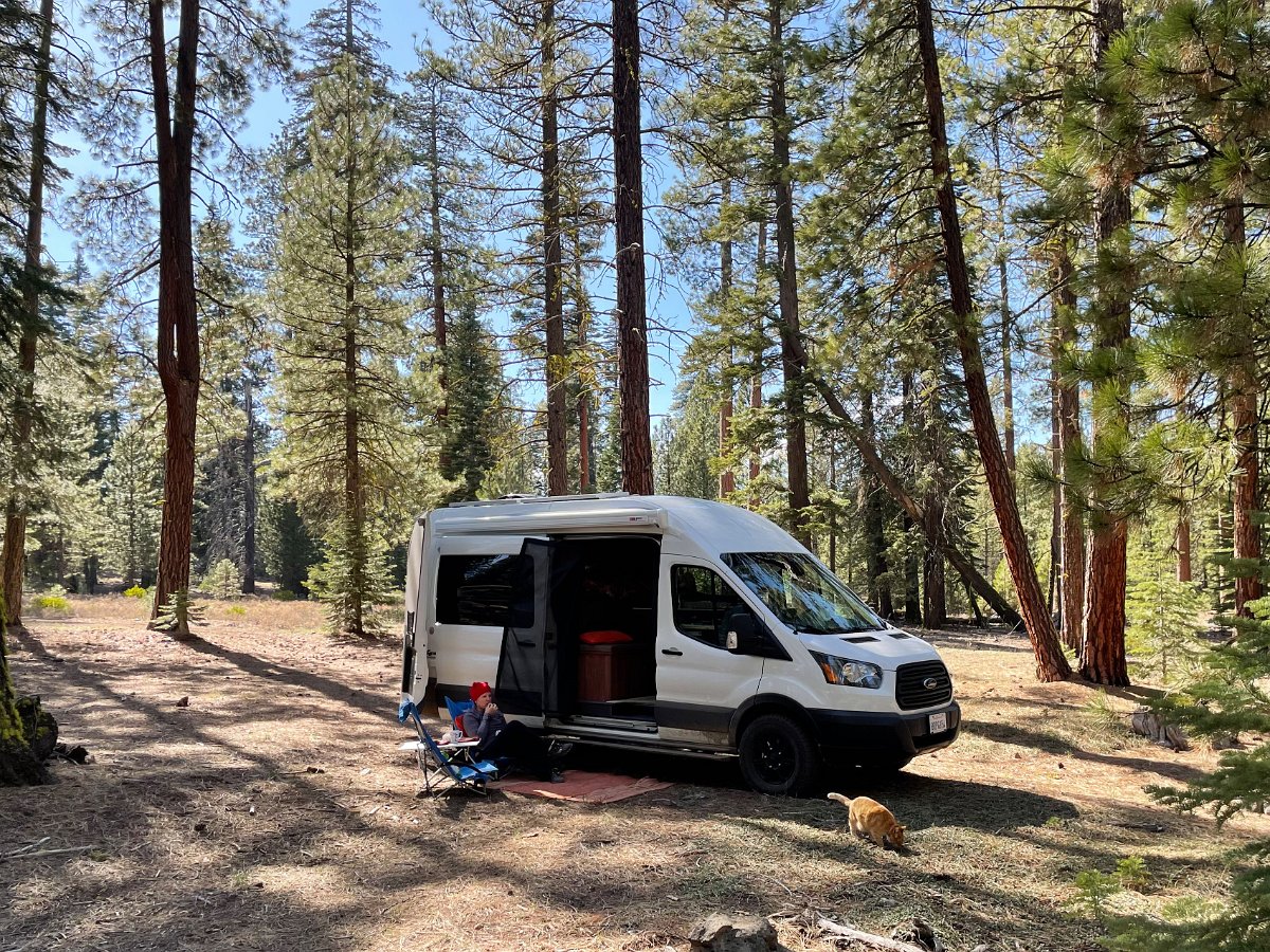
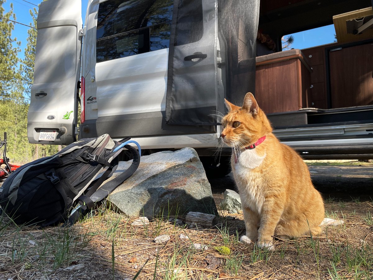
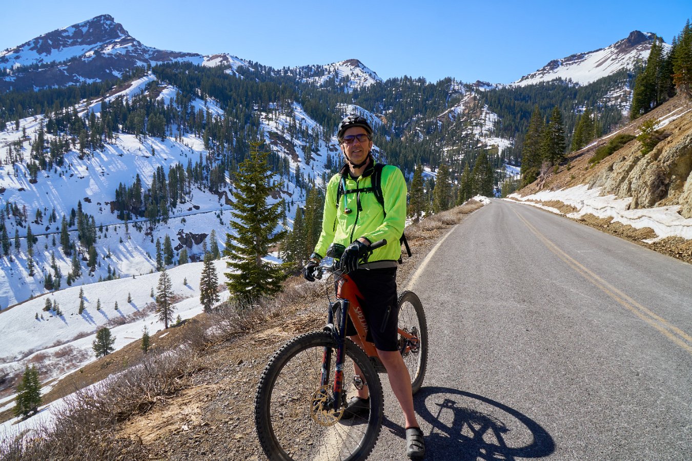
Click through for the full gallery: