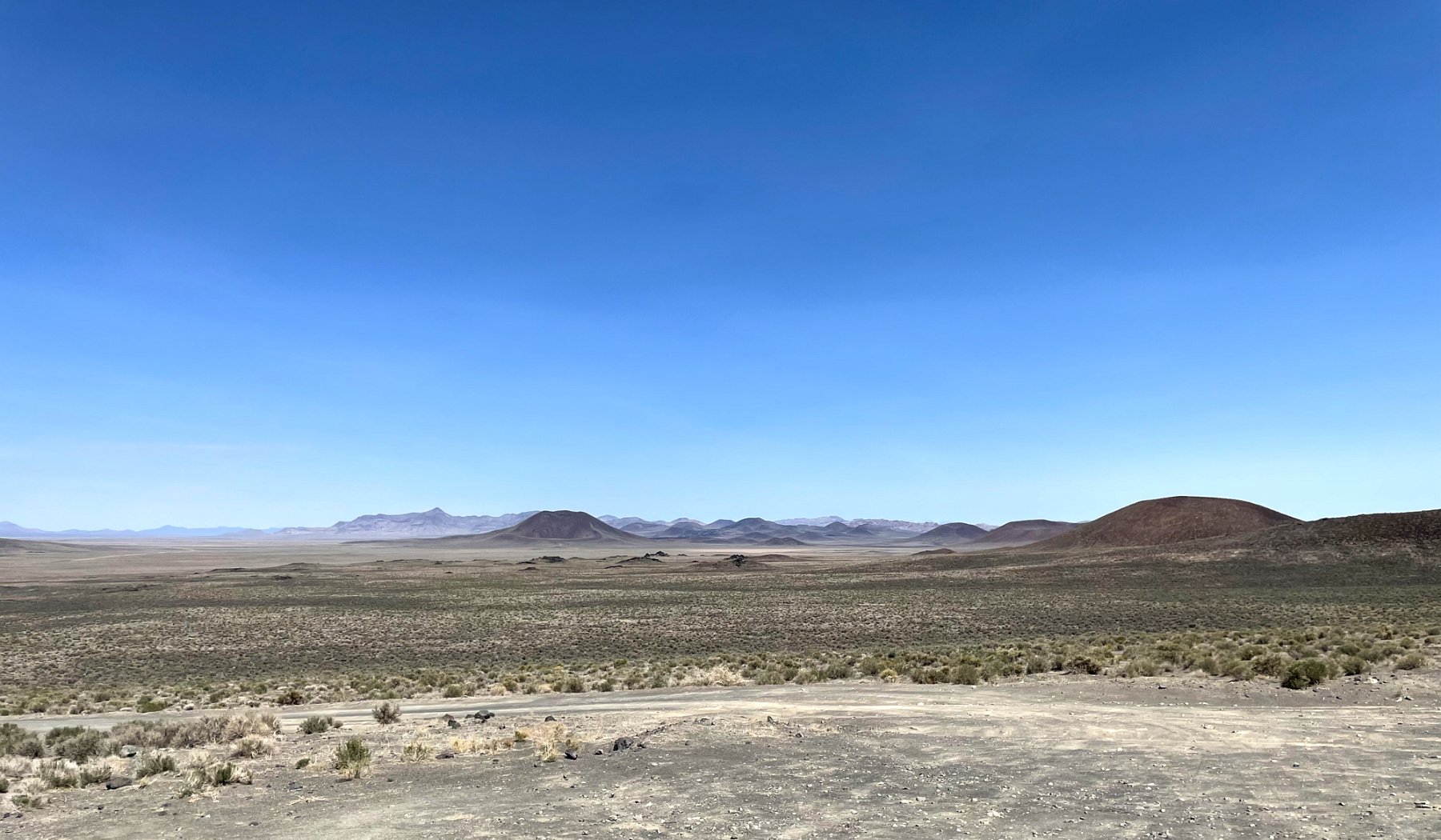
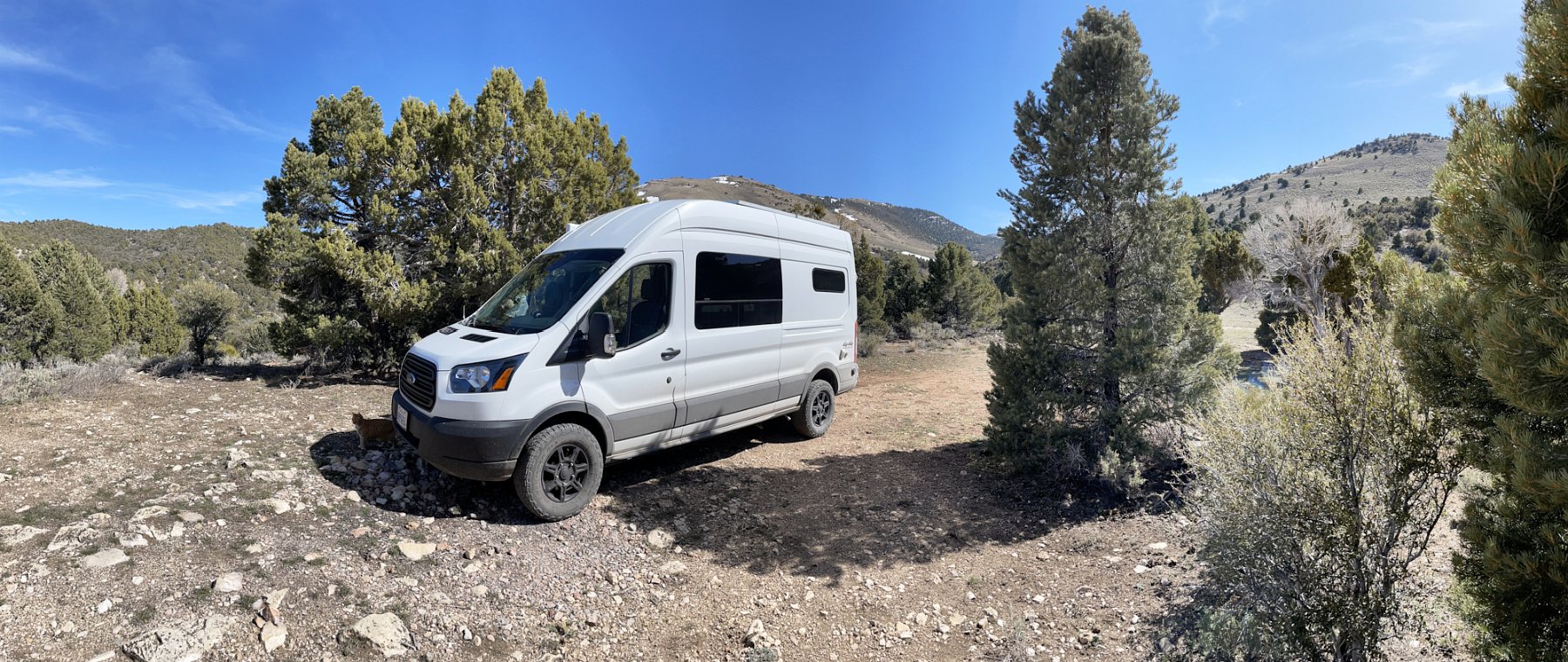
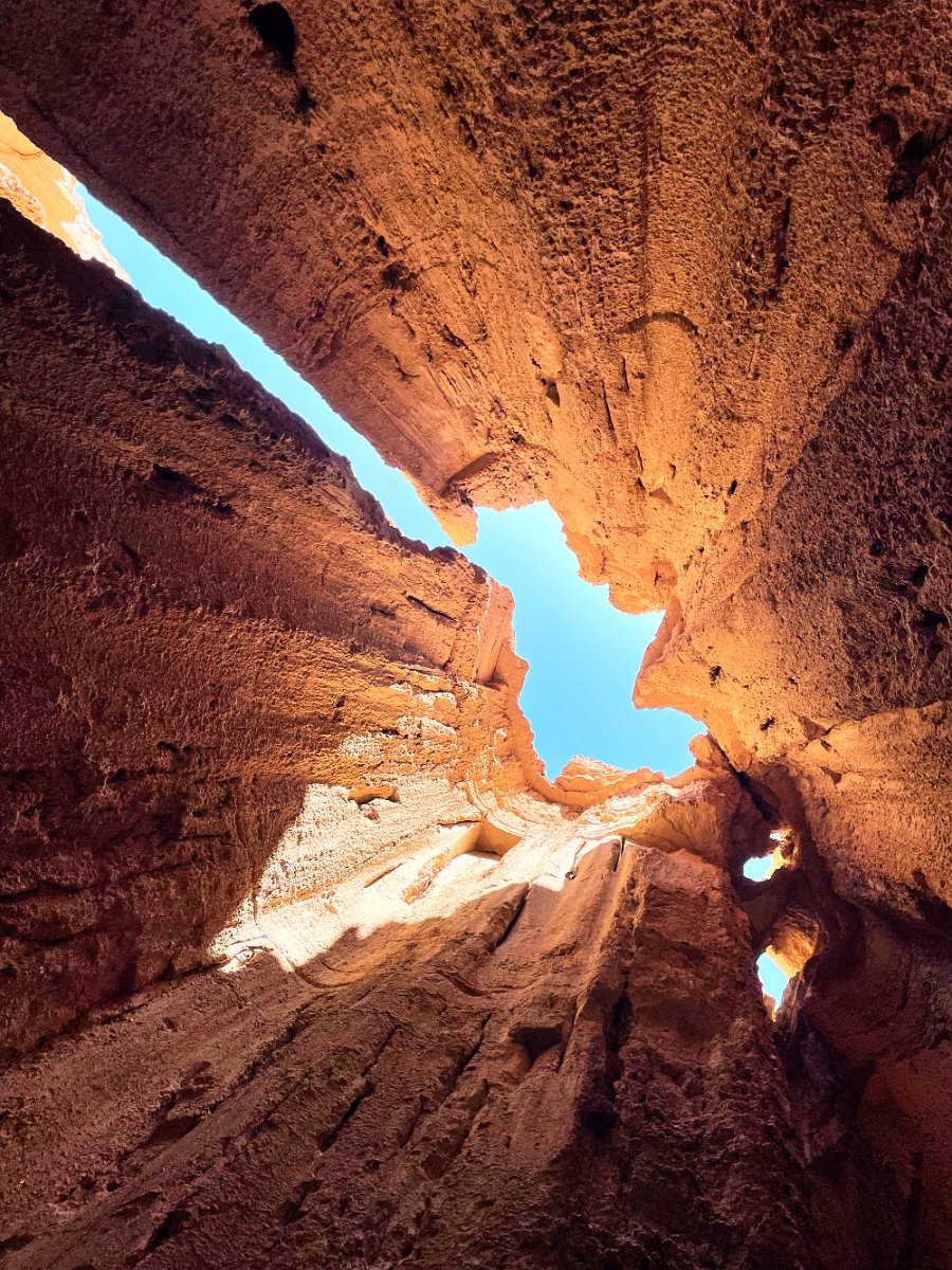
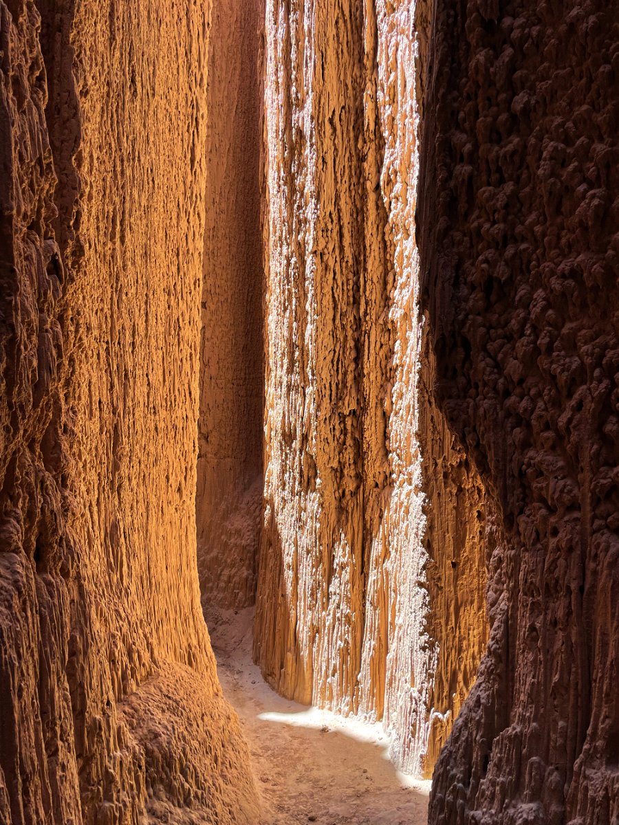
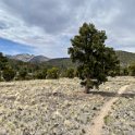
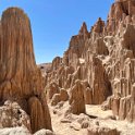
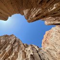
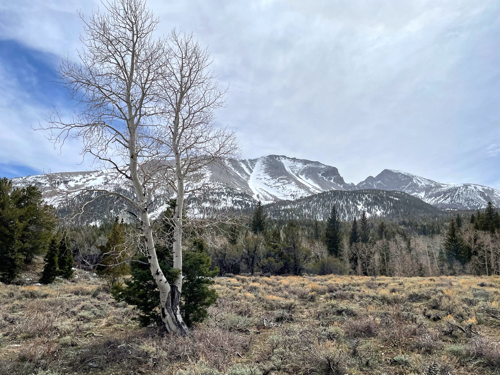
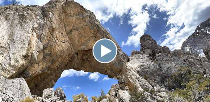
These are pictures from spending four days in Great Basin National Park in mid-April (with the cats, of course) – driving up to the Mather Overlook (the road was still closed beyond that point due to snow), hiking up the Baker Creek Trail and the Lehman Creek Trail, taking the Lehman Caves tour and venturing around to the remote southern tip of the park to hike up to Lexington Arch.
I want to go back sometime and do the hike to the top of Wheeler Peak (elevation 13,065 ft / 3982 m).
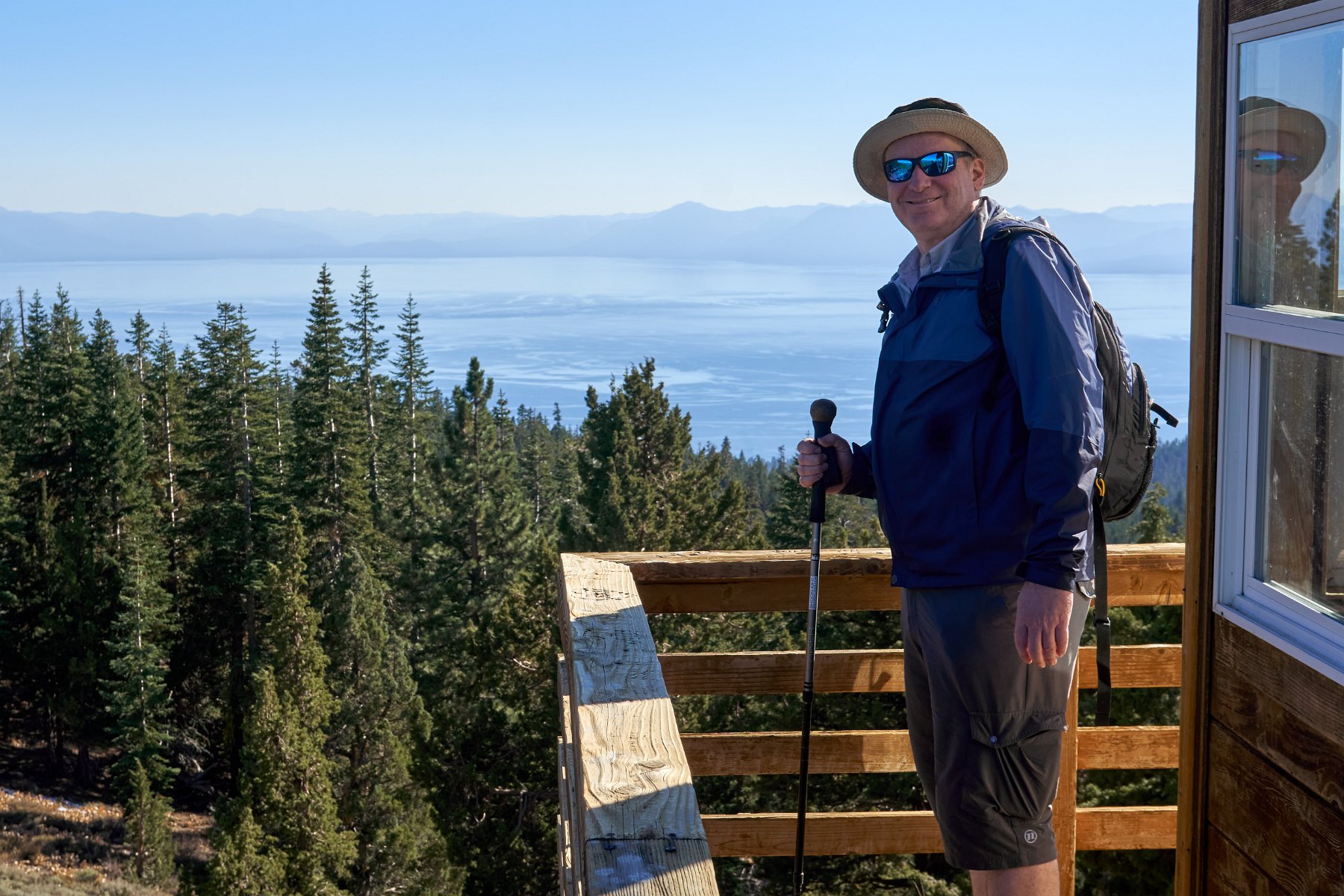
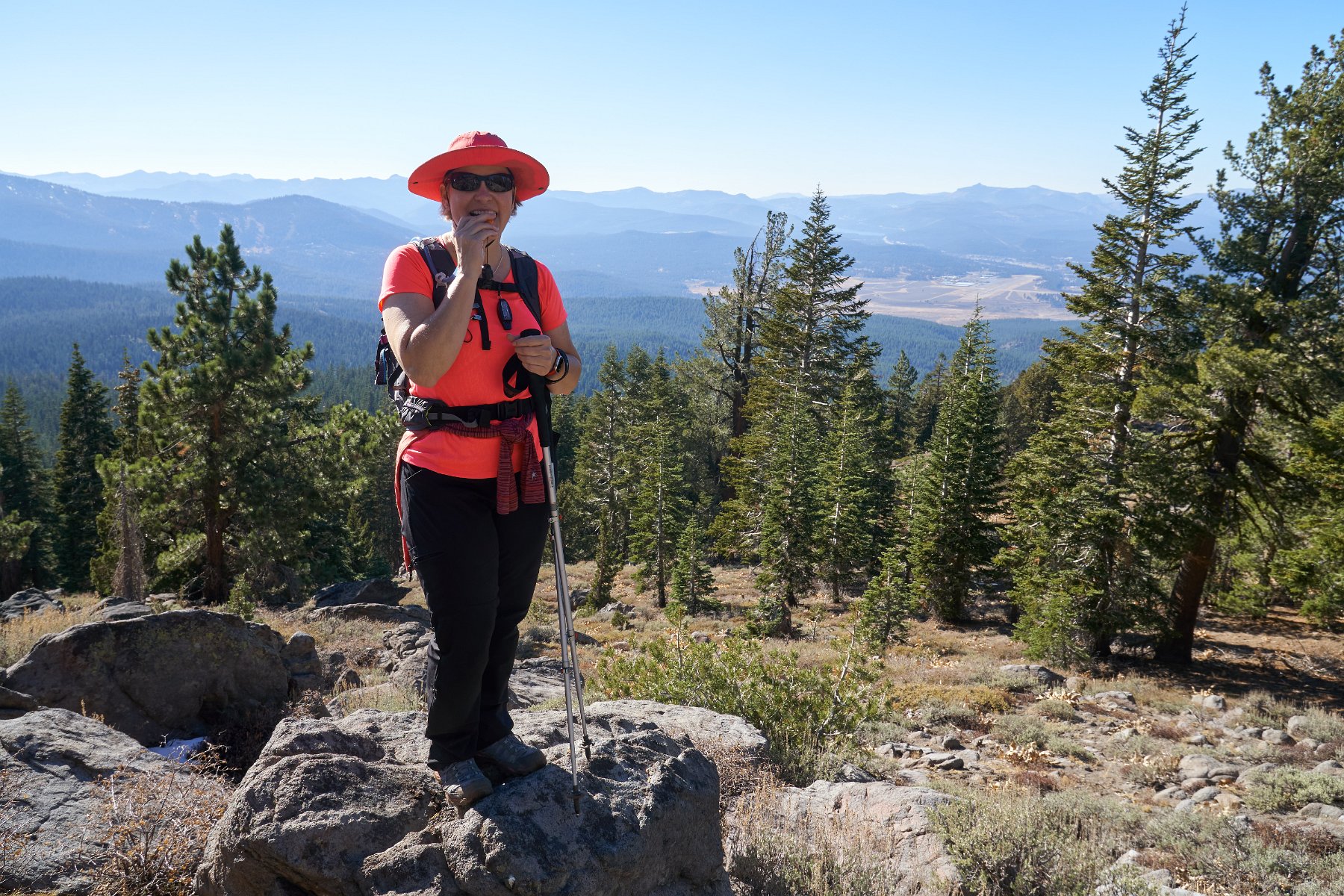
We loaded up the van and headed out last week, stopping first for a couple of days to visit with Troy in Tahoe.
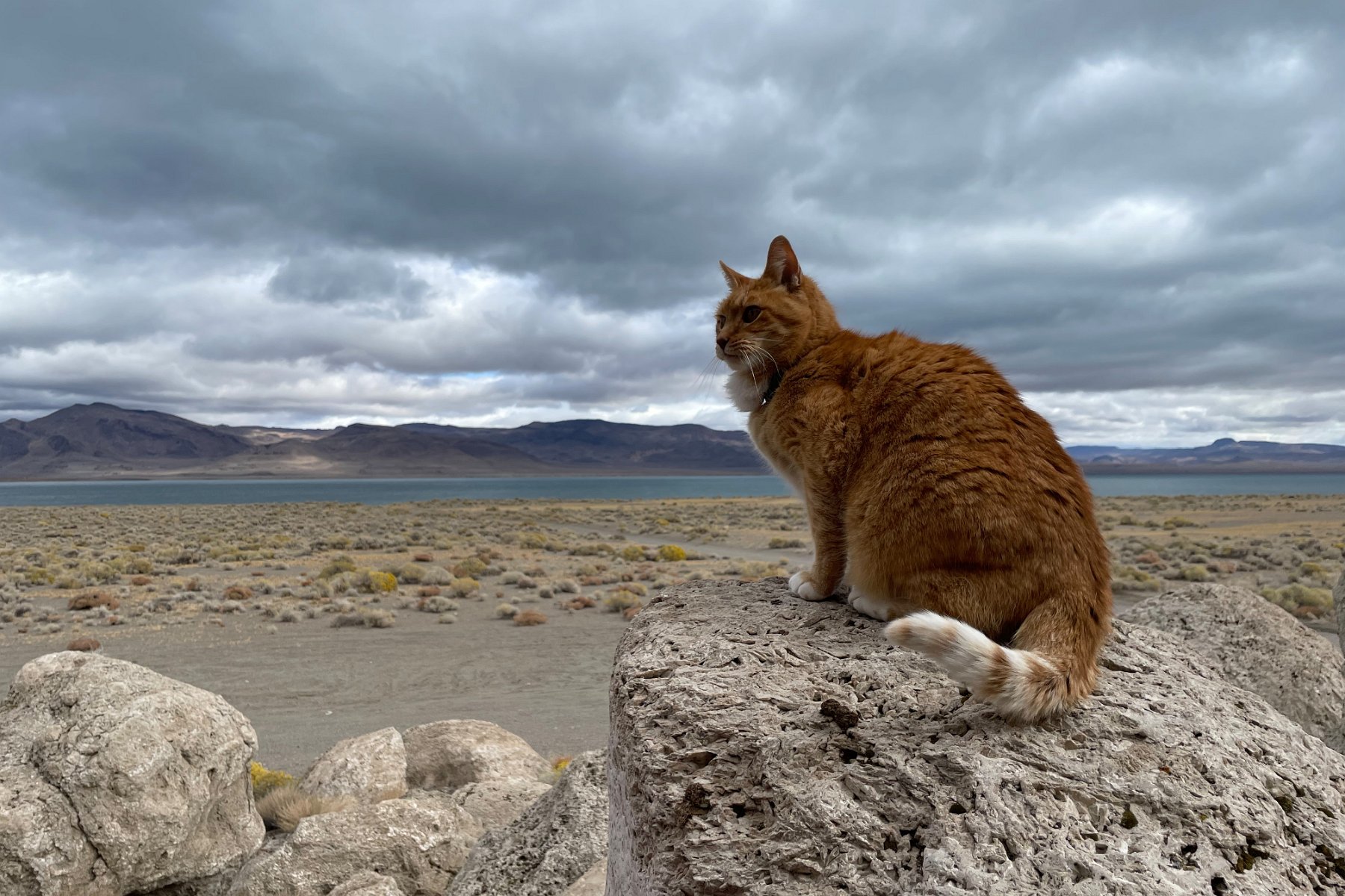
Our intention was to travel on to the Great Basin National Park in eastern Nevada and maybe into Utah but we had to cut the trip short and head home early so that Darlene could help a friend. So we spent the couple of days we had checking out Pyramid Lake north of Reno (which is where Lake Tahoe and the Truckee River drain to) and then visiting the Black Rock Desert playa before heading home.
All of this area (and in fact all of northwest Nevada) used to be submerged in a huge prehistoric lake (Lake Lahontan) and the ancient water lines are still obvious along the mountain sides. There are also lots of cool tufa rock formations in the area, though unfortunately much of the area around Pyramid Lake is off limits to the public and open to tribal members only. (The lake and surroundings are part of a Paiute Reservation.)
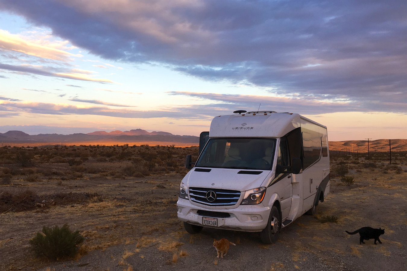
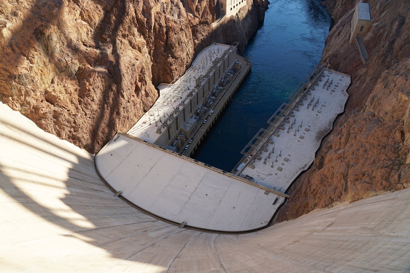
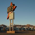
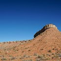
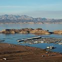
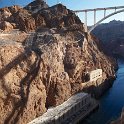
I made a number of additional miscellaneous stops on my October road trip with Pan and Hera in the Traveling Cat Adventure Vehicle, including along a section of historic Route 66 in the Mojave Desert, on the road in northern Arizona and southern Utah, mountain biking outside of Zion National Park, and taking the tour of Hoover Dam. This was over the course of two weeks (October 4th-19th, 2017).
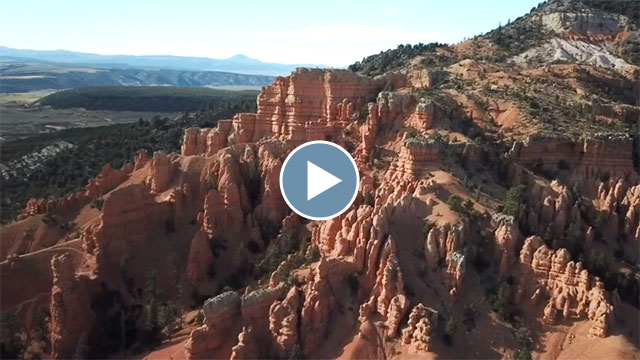
And here’s a video montage of my drone flights over the trip, including my last flight where I lost control, crashed and was forced to leave it behind:
What happens when the Mavic Pro doesn’t have GPS lock and you’re too high for the down-facing optical sensors to work is that the Mavic becomes unable to hold its position and it starts drifting all over the place. I was trying to compensate and keep it away from the walls but I was not at all successful. It almost crashed into one wall but halted itself when it’s forward-facing sensors detected the wall. As it started drifting towards the opposite wall, I had just decided to try to get it up and out of the shadow of the canyon entirely to hopefully gain GPS lock and regain control but it was too late – and this time it wasn’t facing the wall and didn’t detect it. It crashed and fell to a point immediately below me. While it was only like 35 feet down, it was a sheer drop with only a couple of narrow soft ledges. Without rope and climbing gear, I would have been risking my neck to try to retrieve it. Yeah, very sad to have to leave it behind, though it looked pretty busted up anyway.