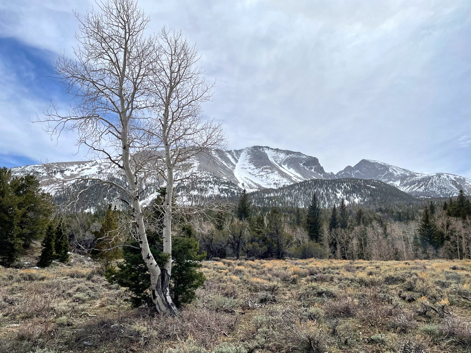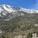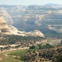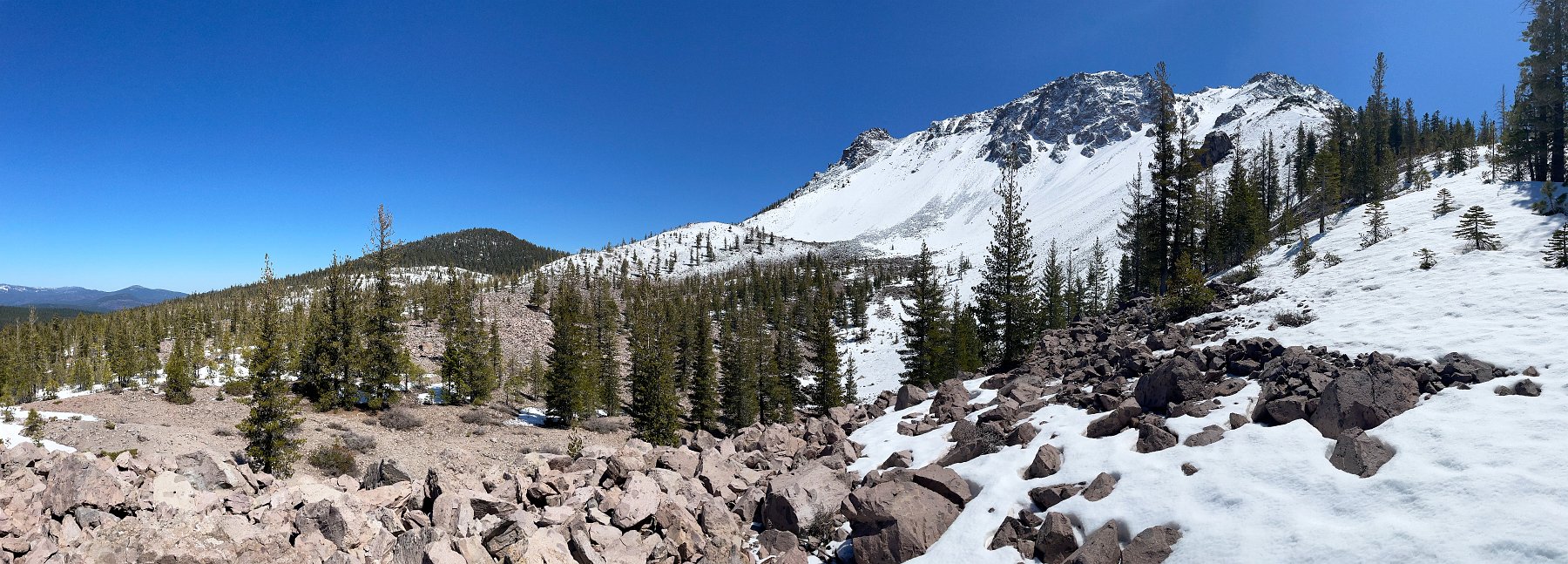
After a week in Mt. Bachelor, and with Darlene still visiting her mom, my intention had been to explore southeastern Oregon, but a series of forecasted storms would make many of those dirt roads impassable so I headed back south and ended up on a trip through central Nevada with the ultimate goal of visiting Great Basin National Park near the Utah border. (Separate post and gallery here.)
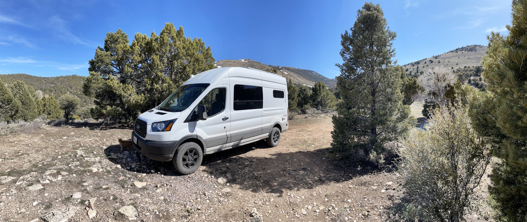
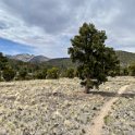
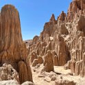
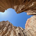
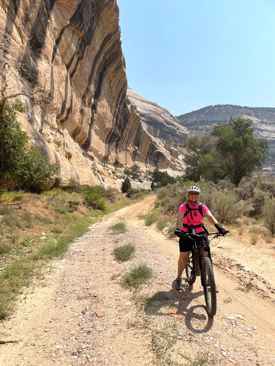
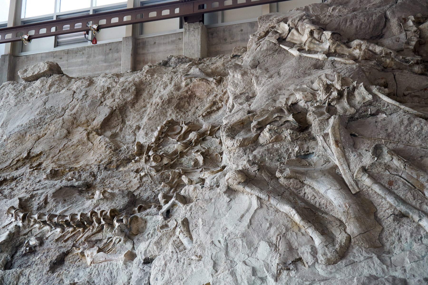
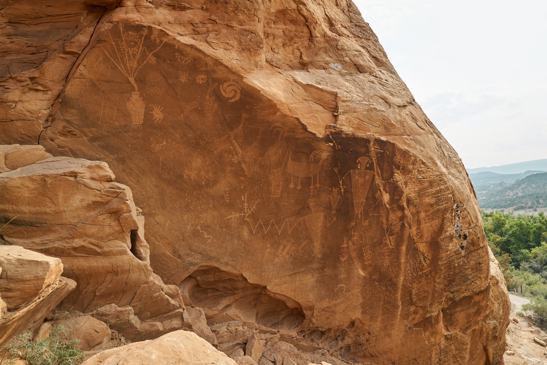
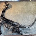
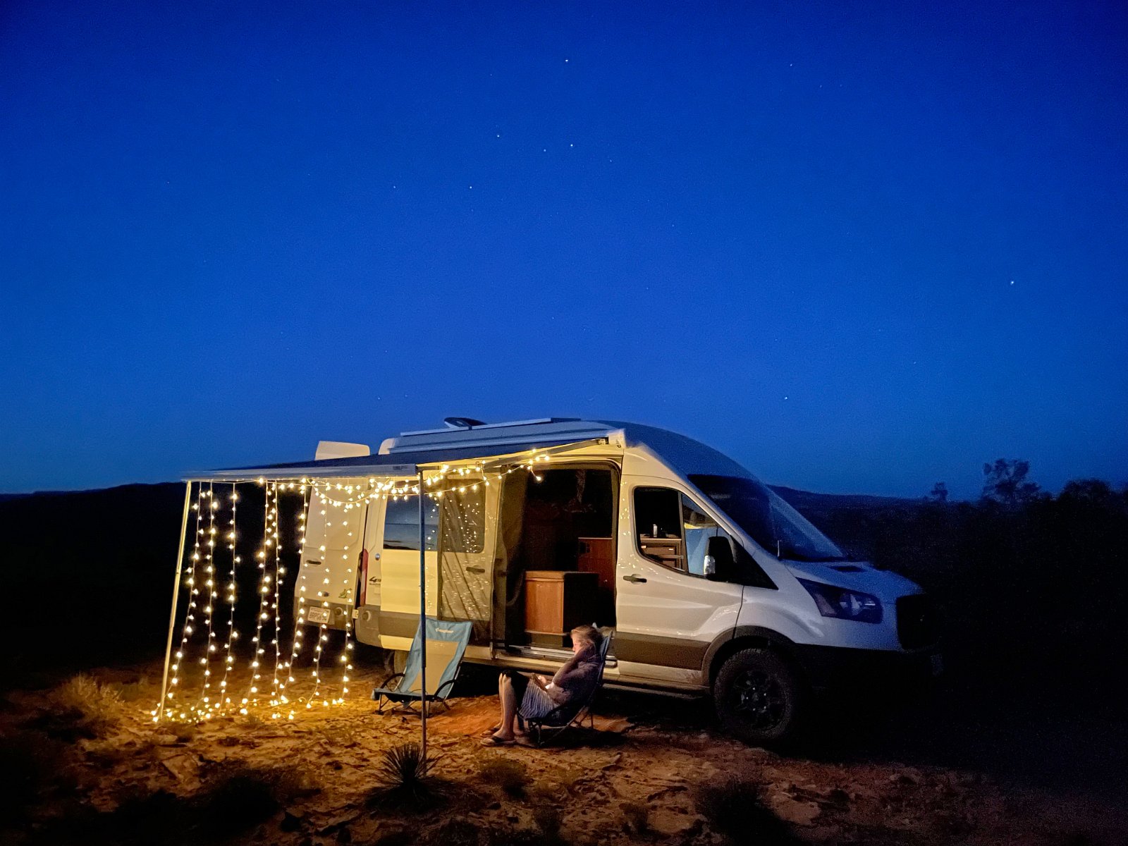
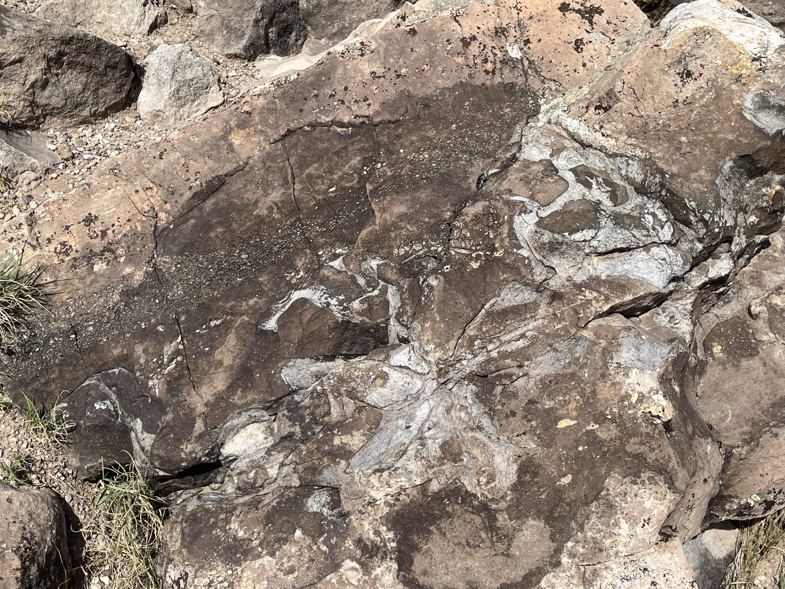
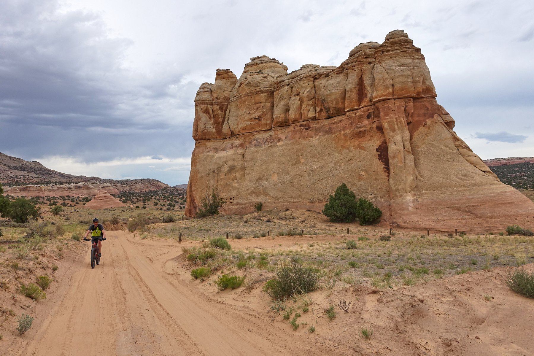
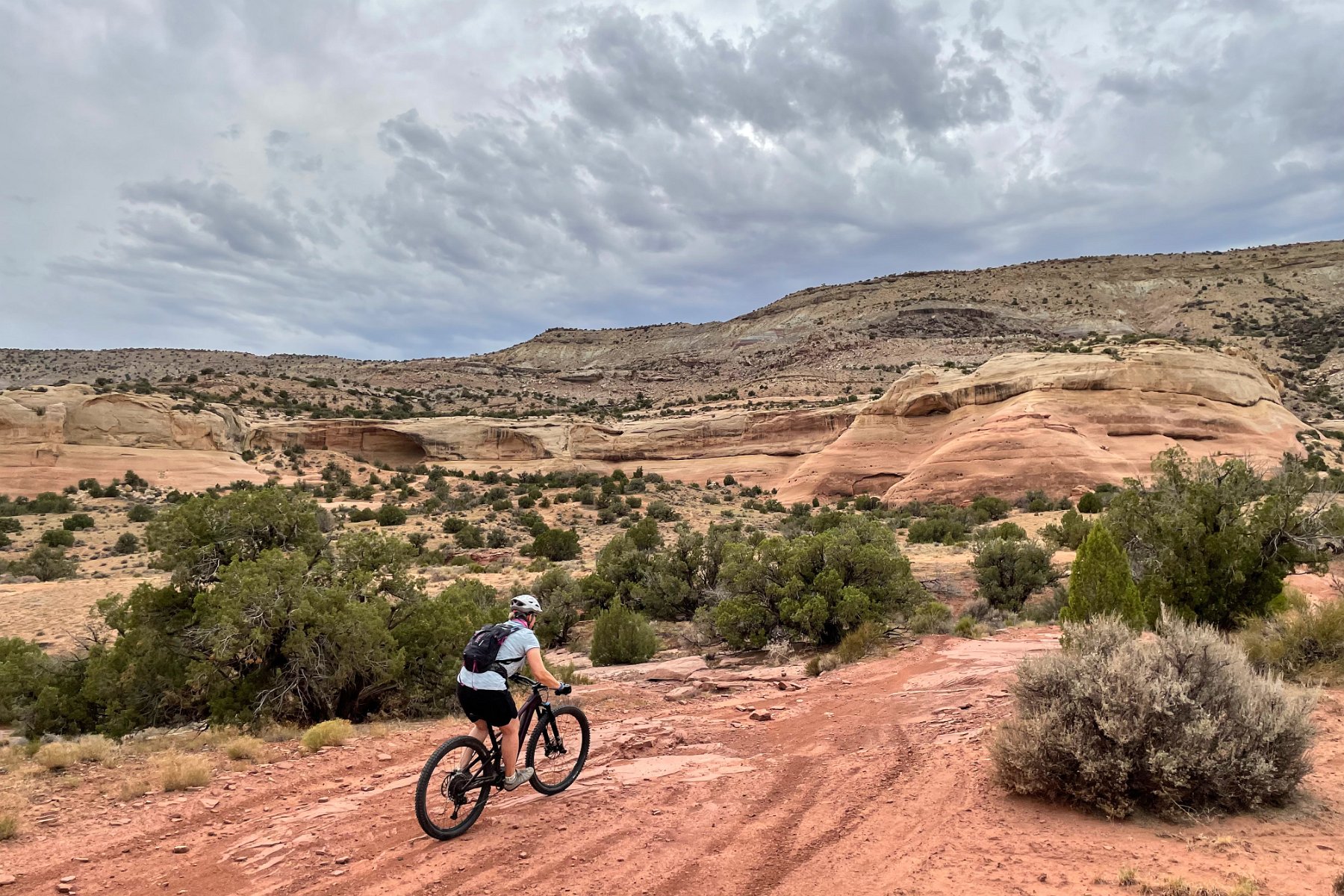
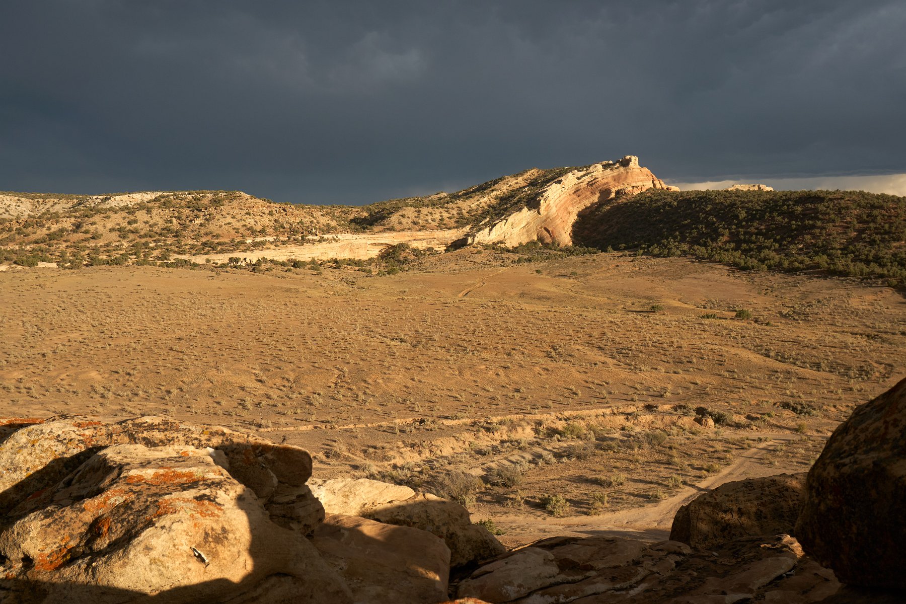
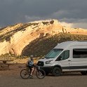
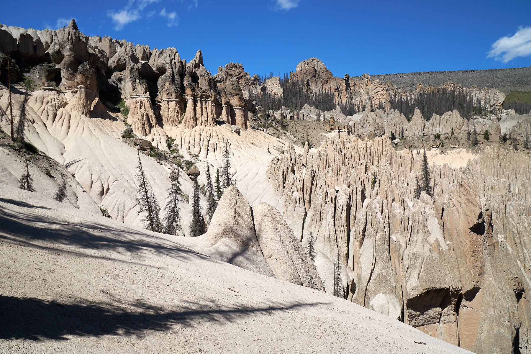
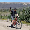
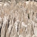
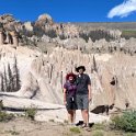
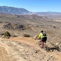
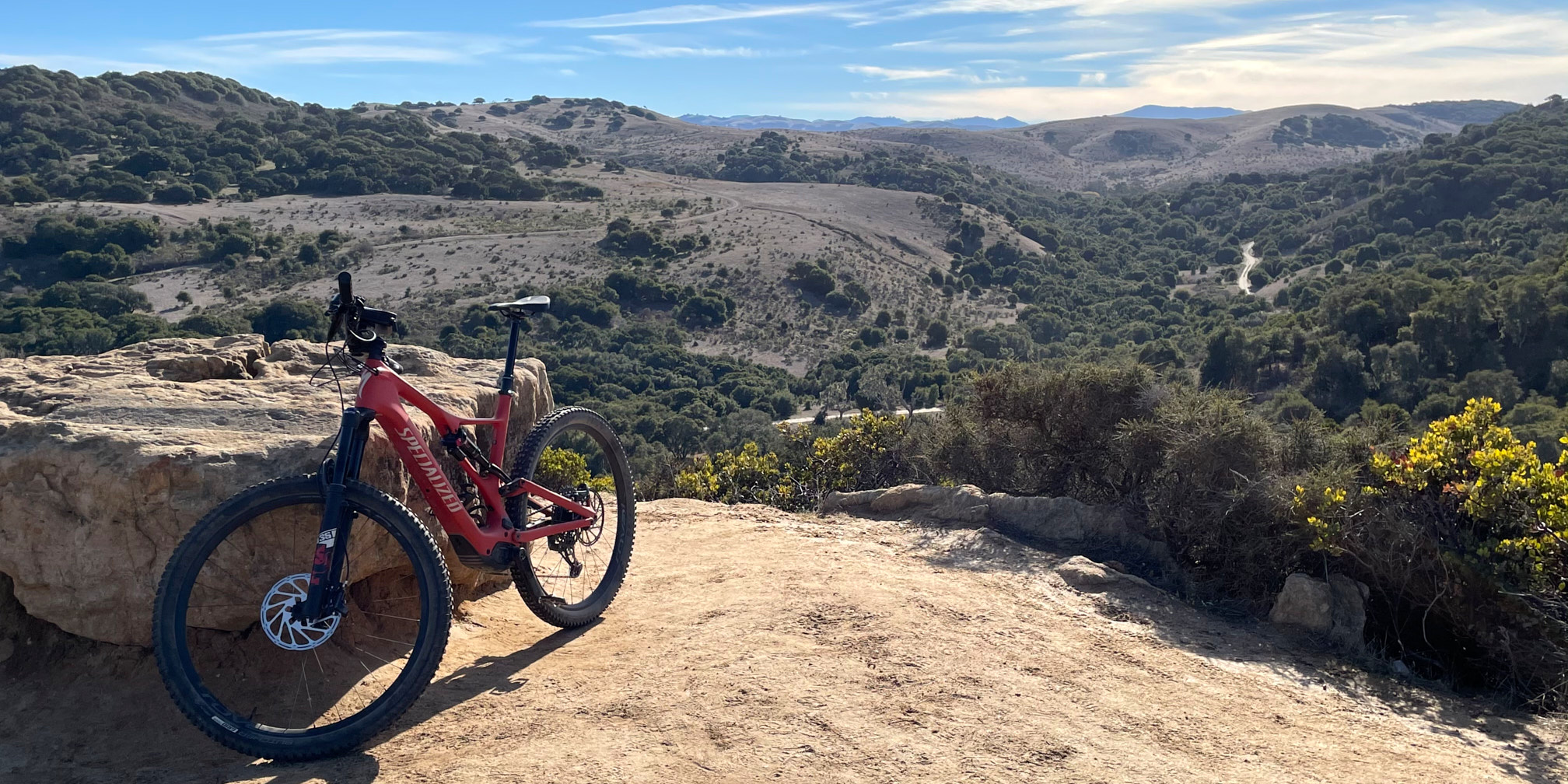
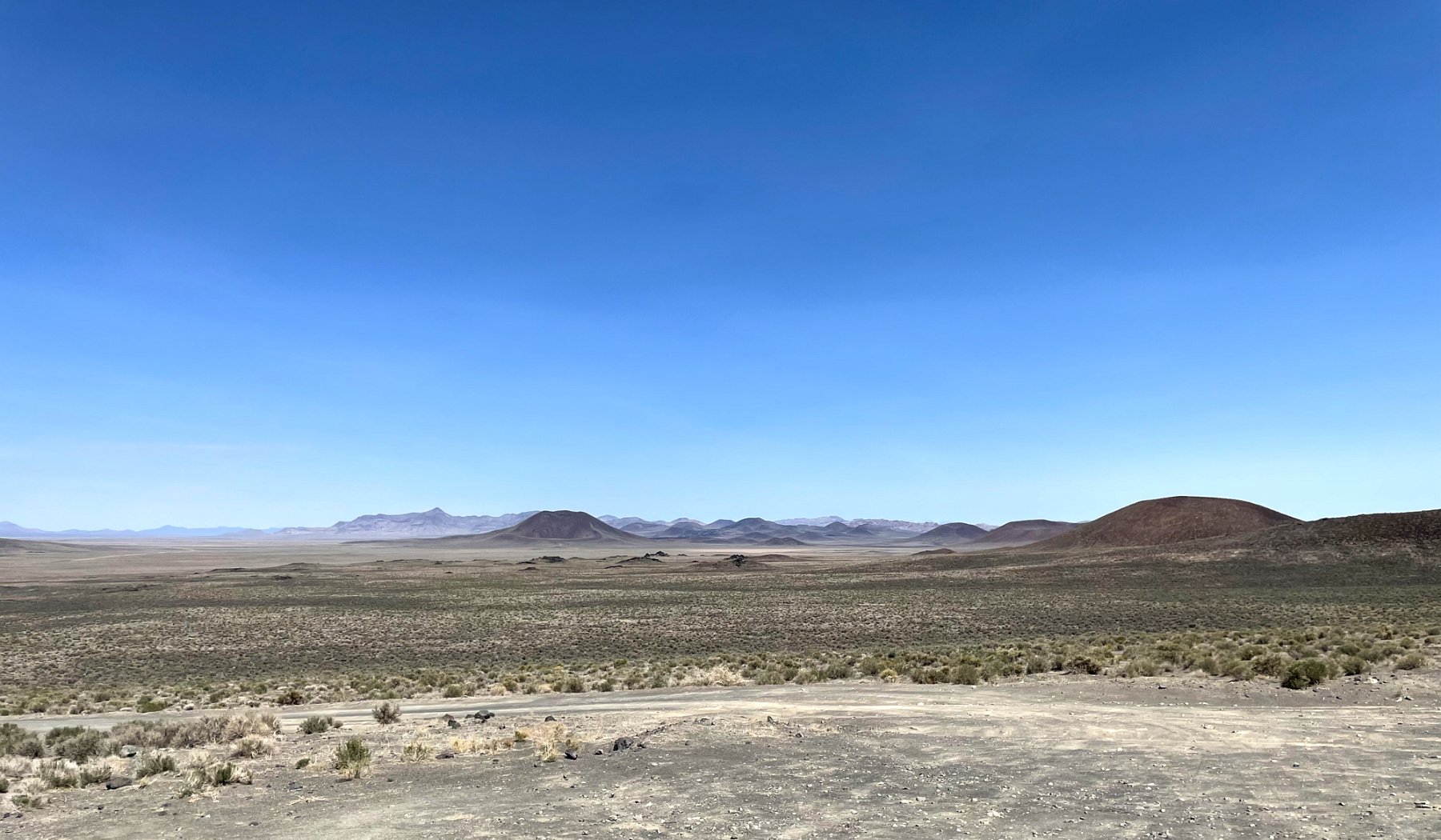
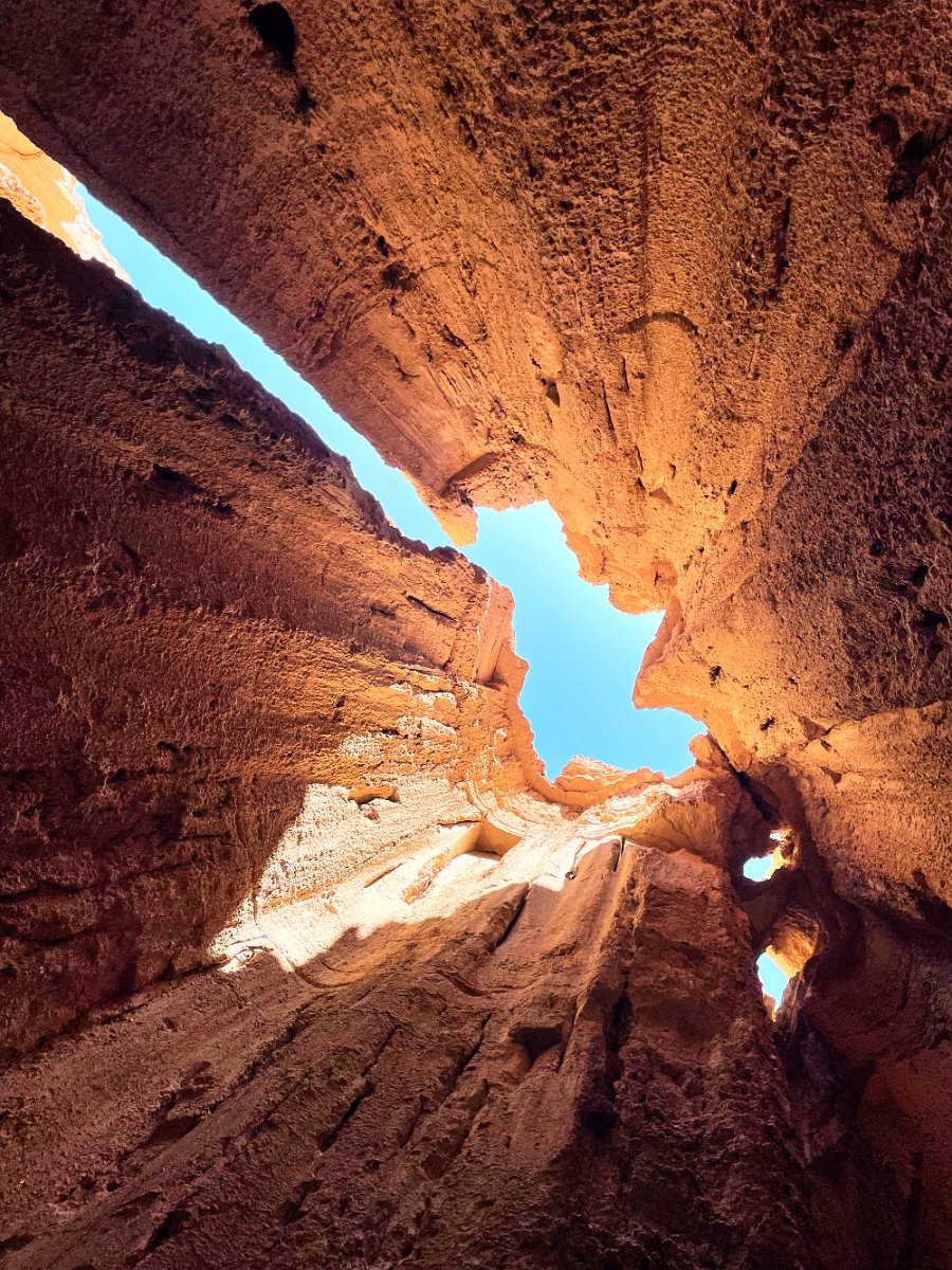
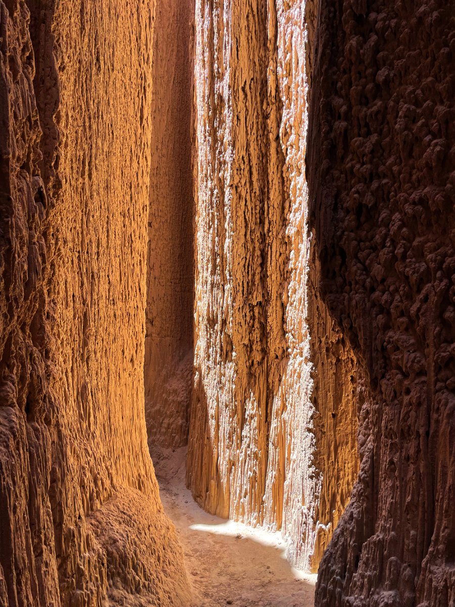
This trip involved traveling lots of remote routes, both paved and unpaved, and finding interesting places to camp. Along the way, I spent some time trying out the mountain bike trails near Ely at Ward Mountain, visited the Lunar Crater National Landmark and explored the amazing clay formations at Cathedral Gorge State Park. No alien encounters (although I was buzzed by what might have been an F-22 Raptor) and unfortunately the ghost town / fossil site Berlin-Ichthyosaur State Park is currently closed for road repairs.

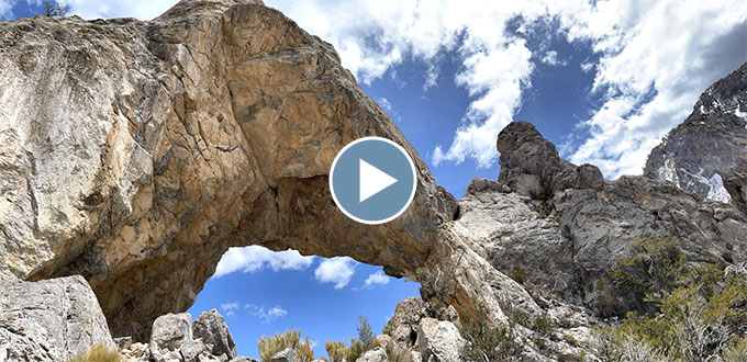
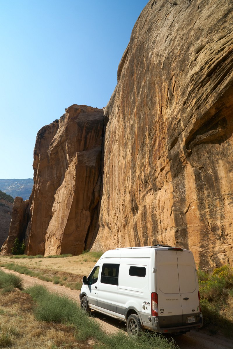
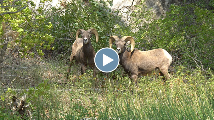
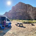
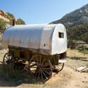
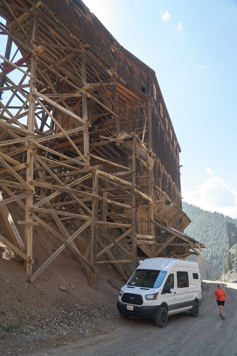
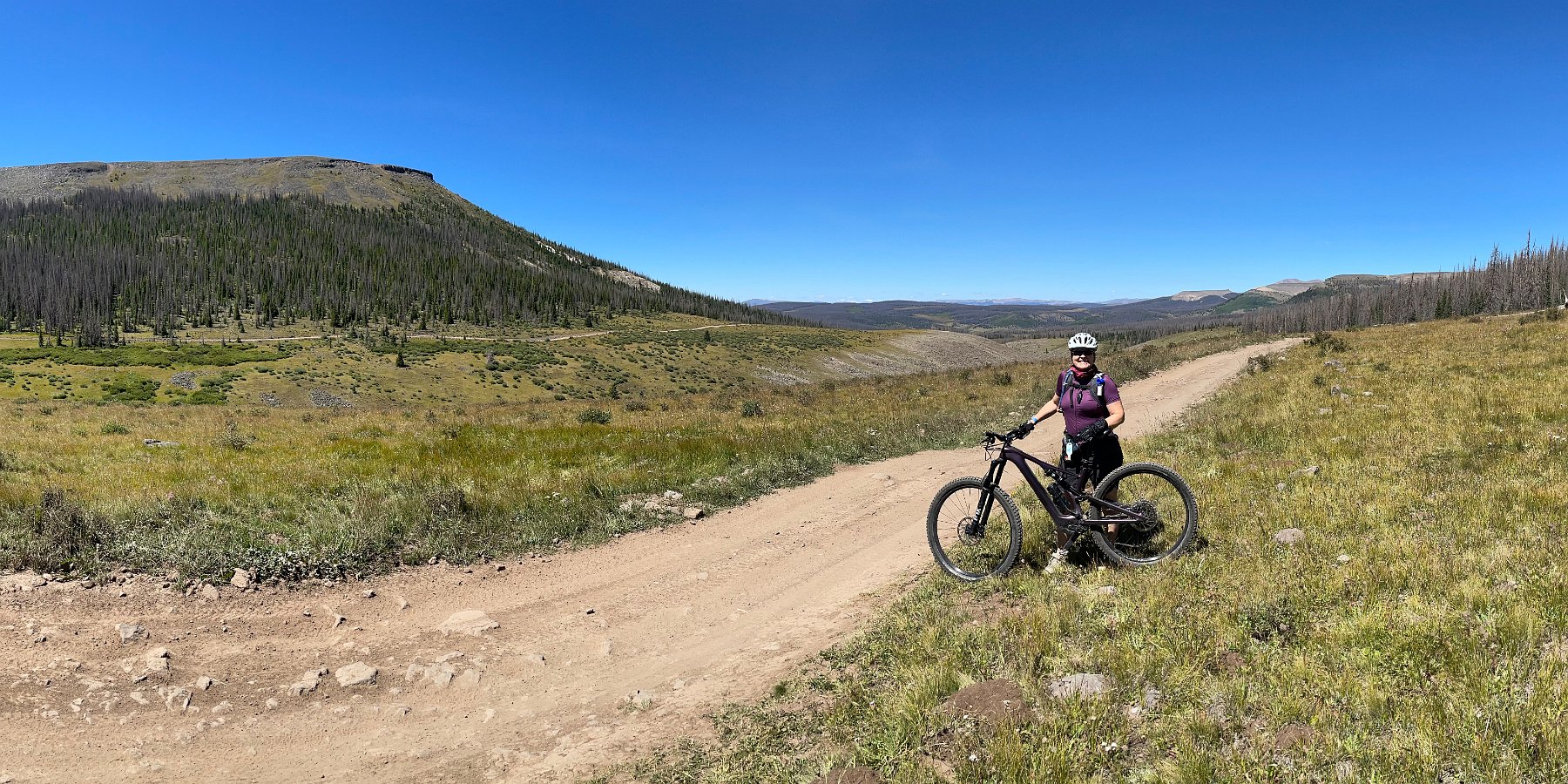
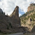
Click through for the full gallery: