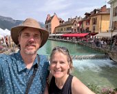
Topping off our extended Europe trip, Darlene and I flew from Stockholm to Geneva to spend three weeks traipsing around Switzerland in June. In Geneva, we walked around and rented electric scooters over a couple of days. One day we took a train to walk around the medieval town of Annecy in France. After that we were off to the other side of Lake Geneva to visit Lausanne, Vevey and Montreux – checking out the Olympic Museum, the wonderful Chaplin World and the historic castle Château de Chillon.
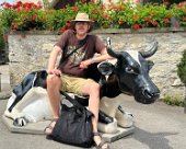
Then we were off to stay a couple of nights in the tiny walled medieval town of Gruyéres – known of course for its cheese and fondue. We visited the castle museum there and the surprisingly extensive HR Eiger museum. We also enjoyed tours at the cheese factory La Maison du Gruyére and the chocolate factory Maison Cailler in Broc.
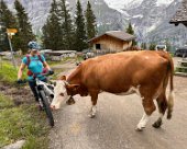
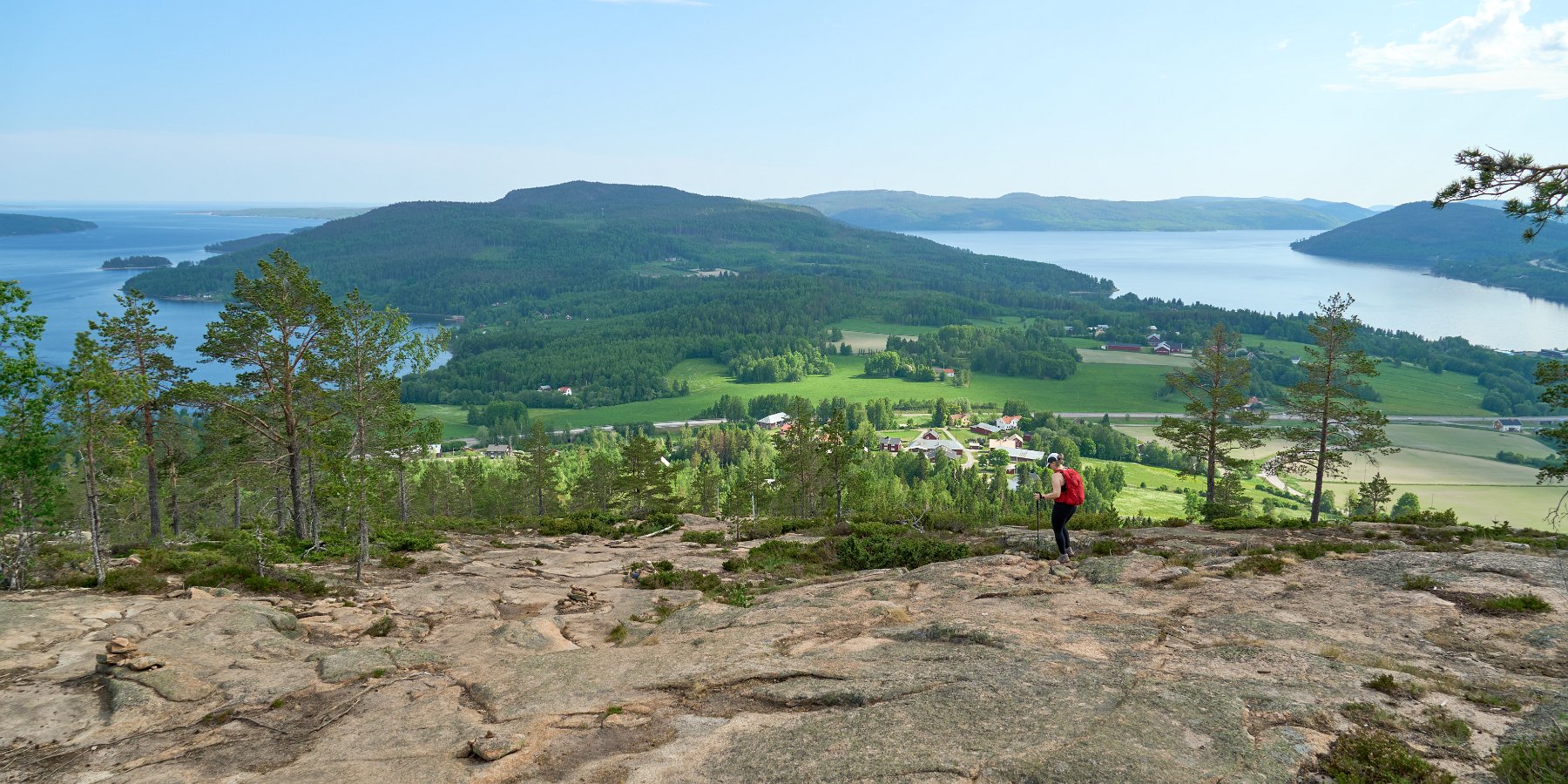
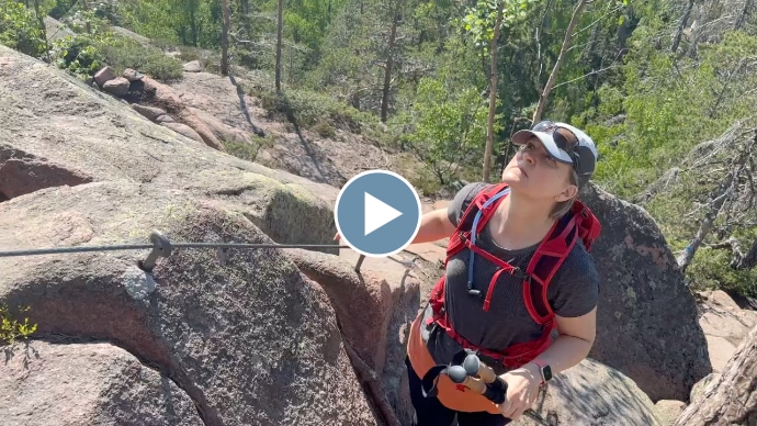
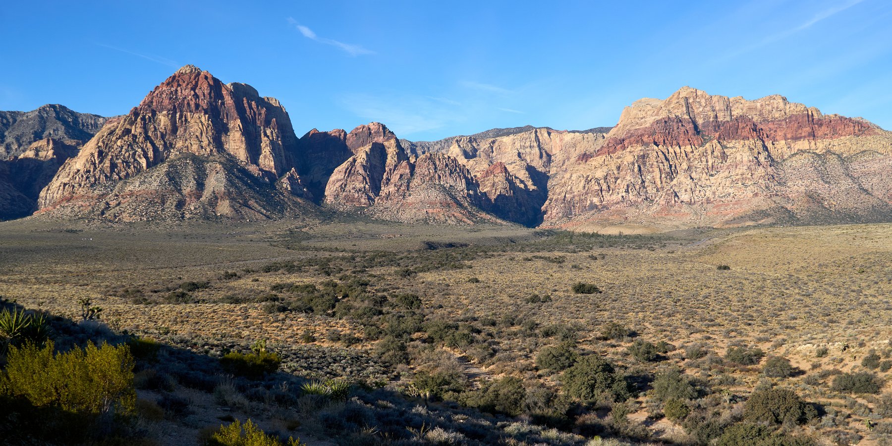
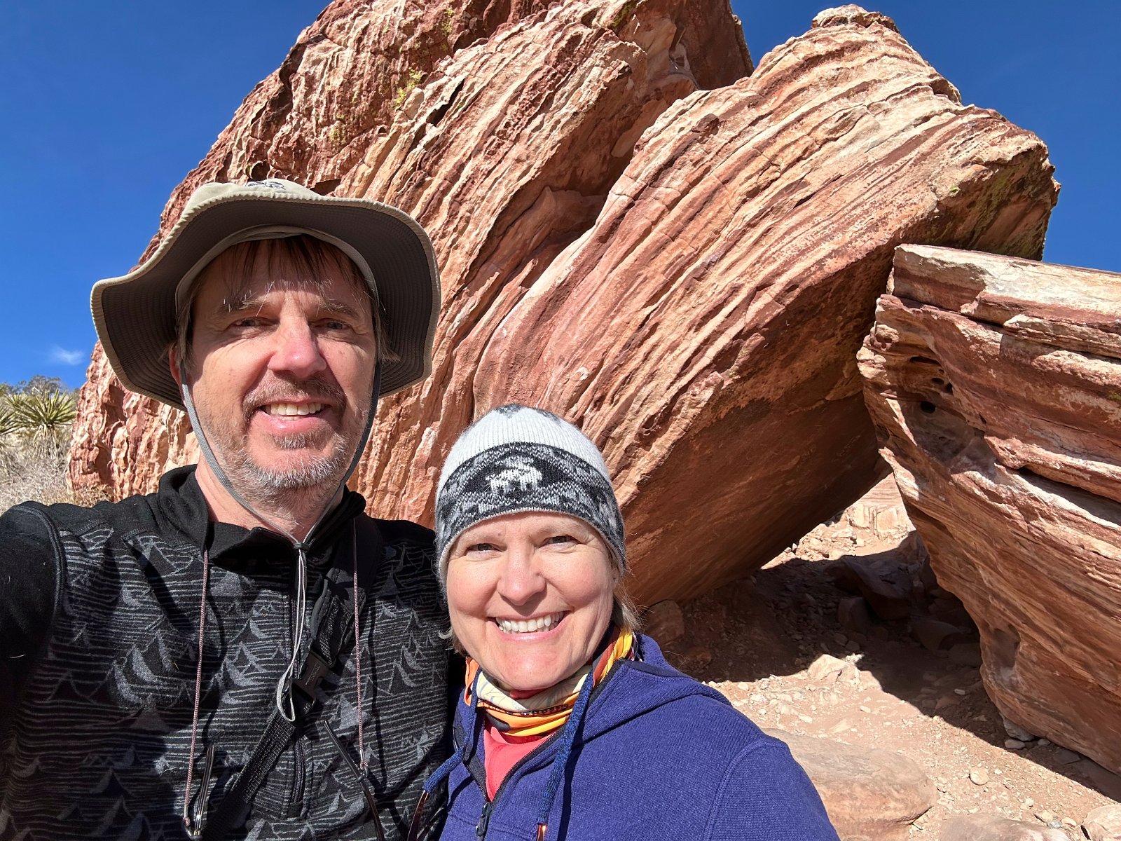
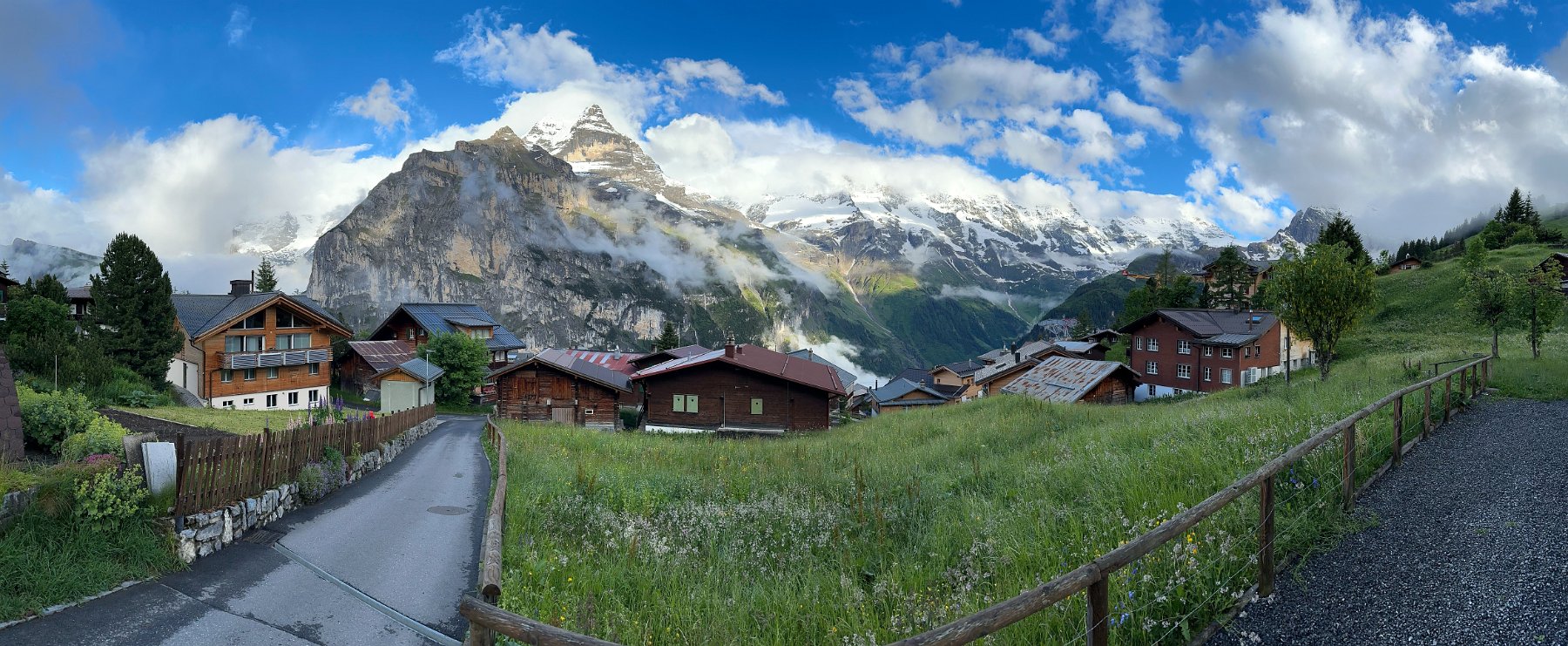
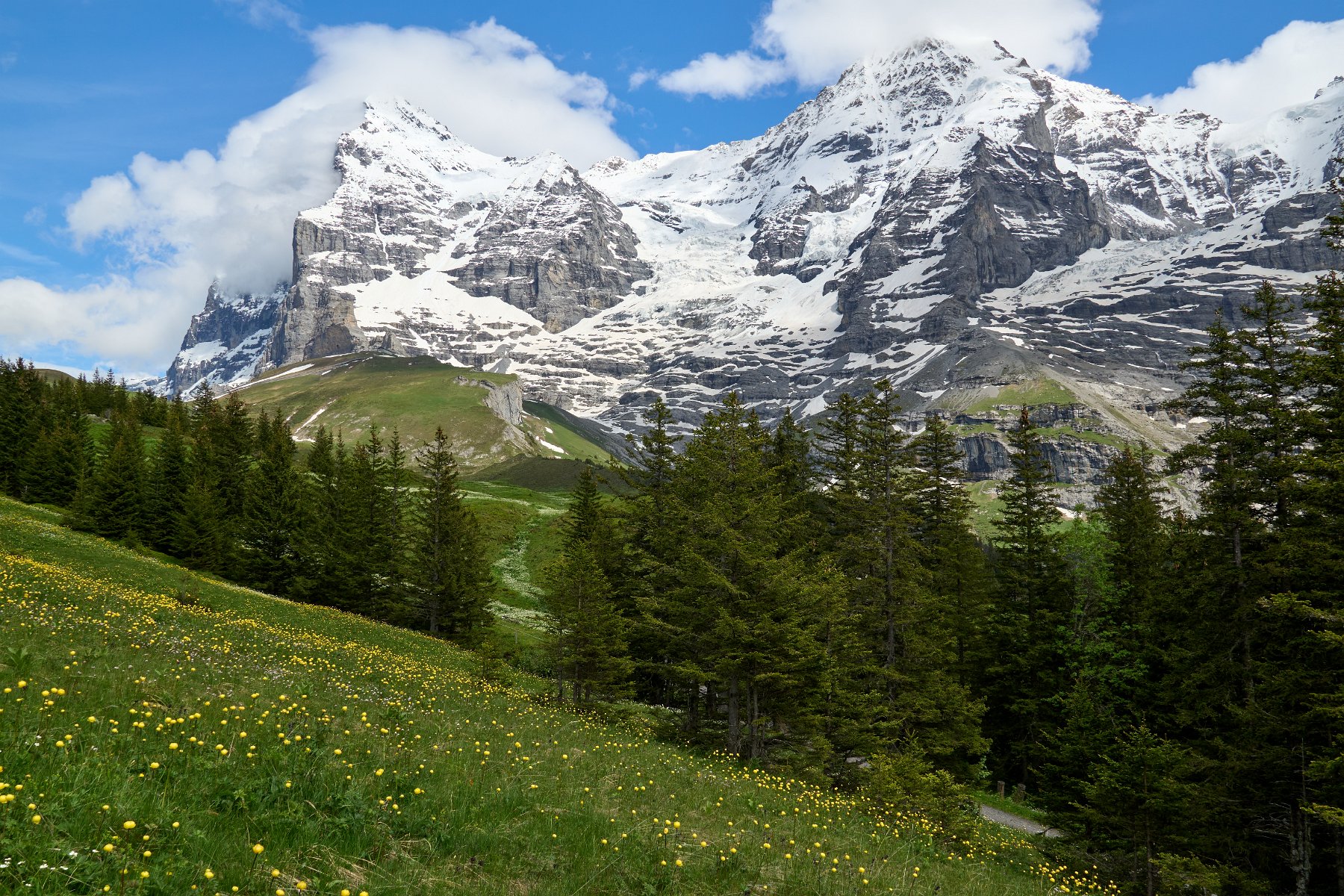
Continuing on, we spent a few hours in Bern after dropped off our rental car to continue by train to the main attraction for our trip, the Jungfrau region. We broke it up by spending four nights in Wengen, three nights in Grindelwald and two nights in Mürren. With so much to see and experience in the region and so many tremendous vistas in every direction, we could have happily spent many more days exploring the area and following the many hiking and biking trails – and perhaps we’ll come back someday to try out the many ski areas.
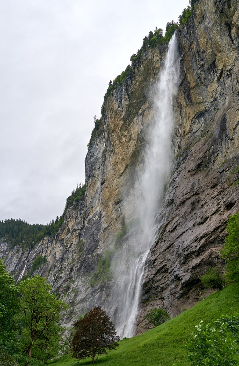
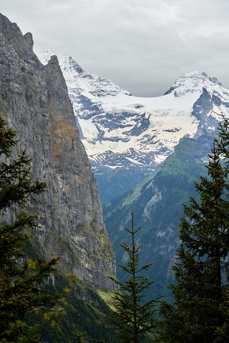
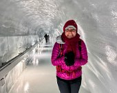
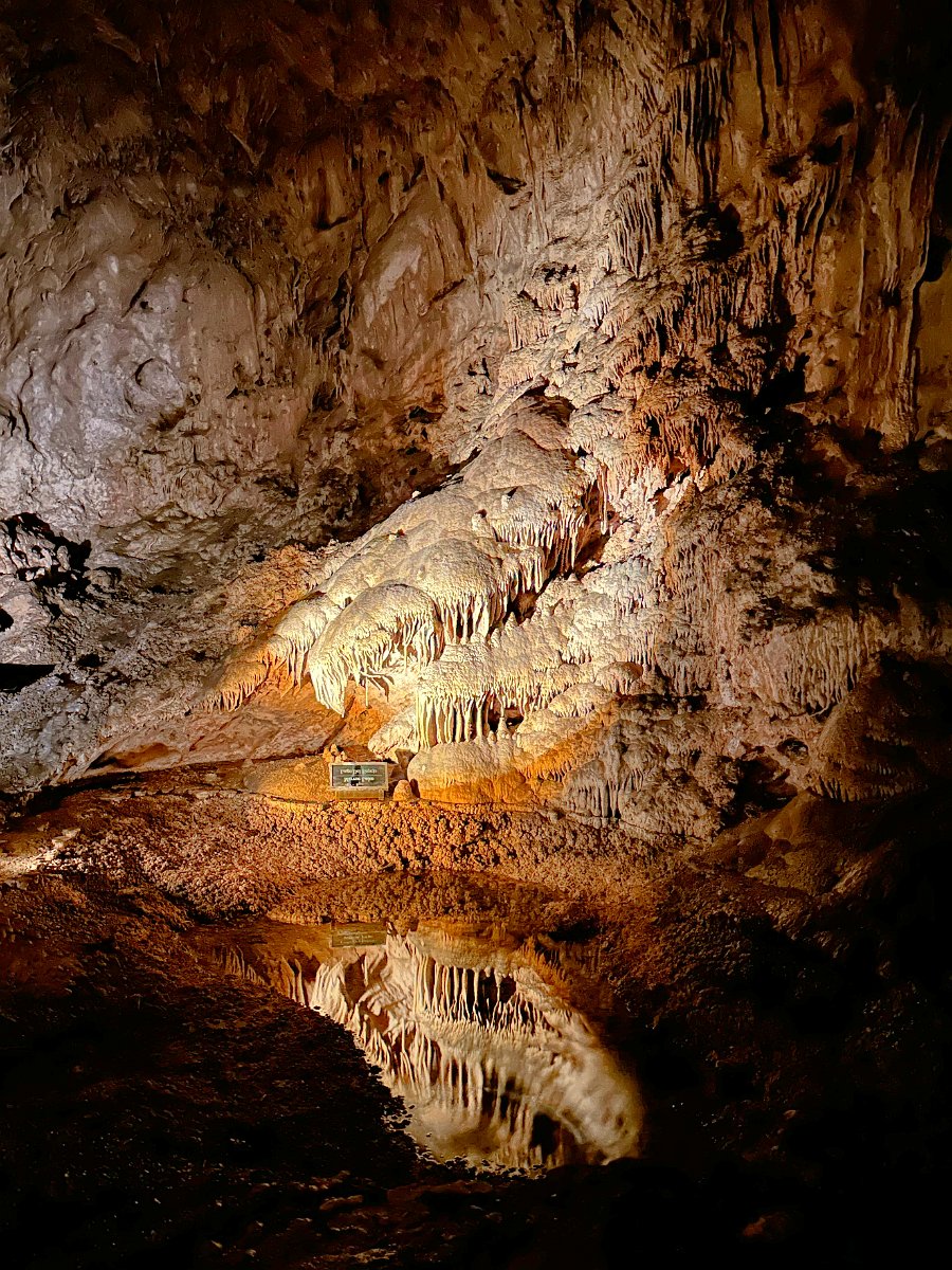
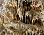
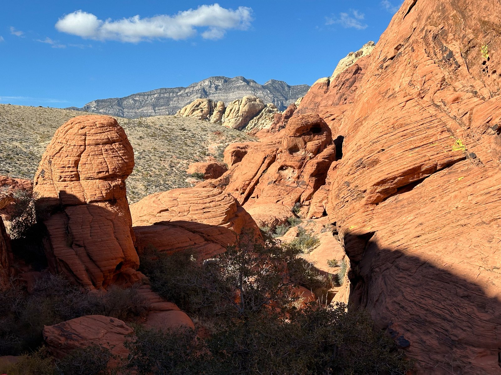
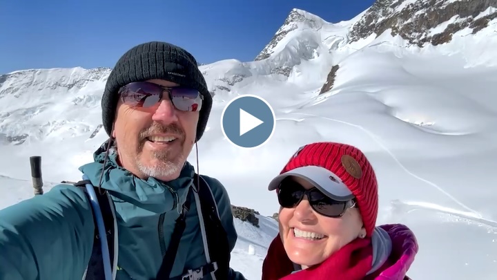
Besides gawking at all the incredible views every which way, some of the other highlights of the Jungfrau region were seeing the thunderous subterranean Trümmelbach Falls, ascending to Jungfraujoch and traversing across the top of the Aletsch Glacier, walking through the Grindelwald Glacier Gorge, hiking beneath the peaks of Eiger and Mönch, visiting Schilthorn peak and the Piz Gloria above Mürren and taking a side excursion into the St. Beatus-Höhlen cave system near Interloken.
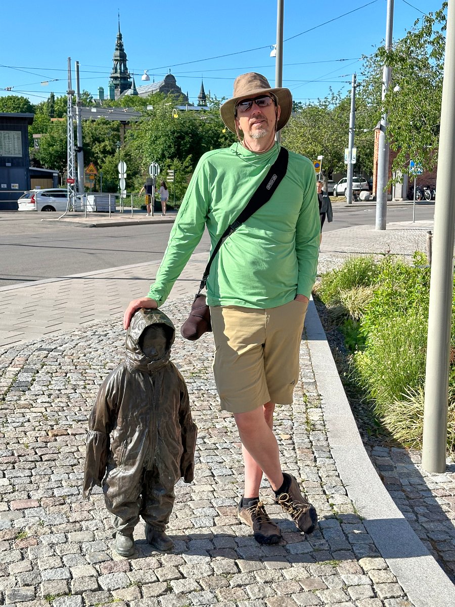
After the Jungfrau region, we traveled to Zurich, stopping mid-day to see some sights in Lucerne. We had three nights in Zurich and wandered about a bit. We missed out on getting a tour through the Lindt Home of Chocolate (d’oh!) but our day excursion to go see the amazing Rheinfall (Rhine Falls) was so worth it.
There’s still lots more we haven’t seen of Switzerland and so I’d love to go back – and maybe in winter for some skiing in the Alps!
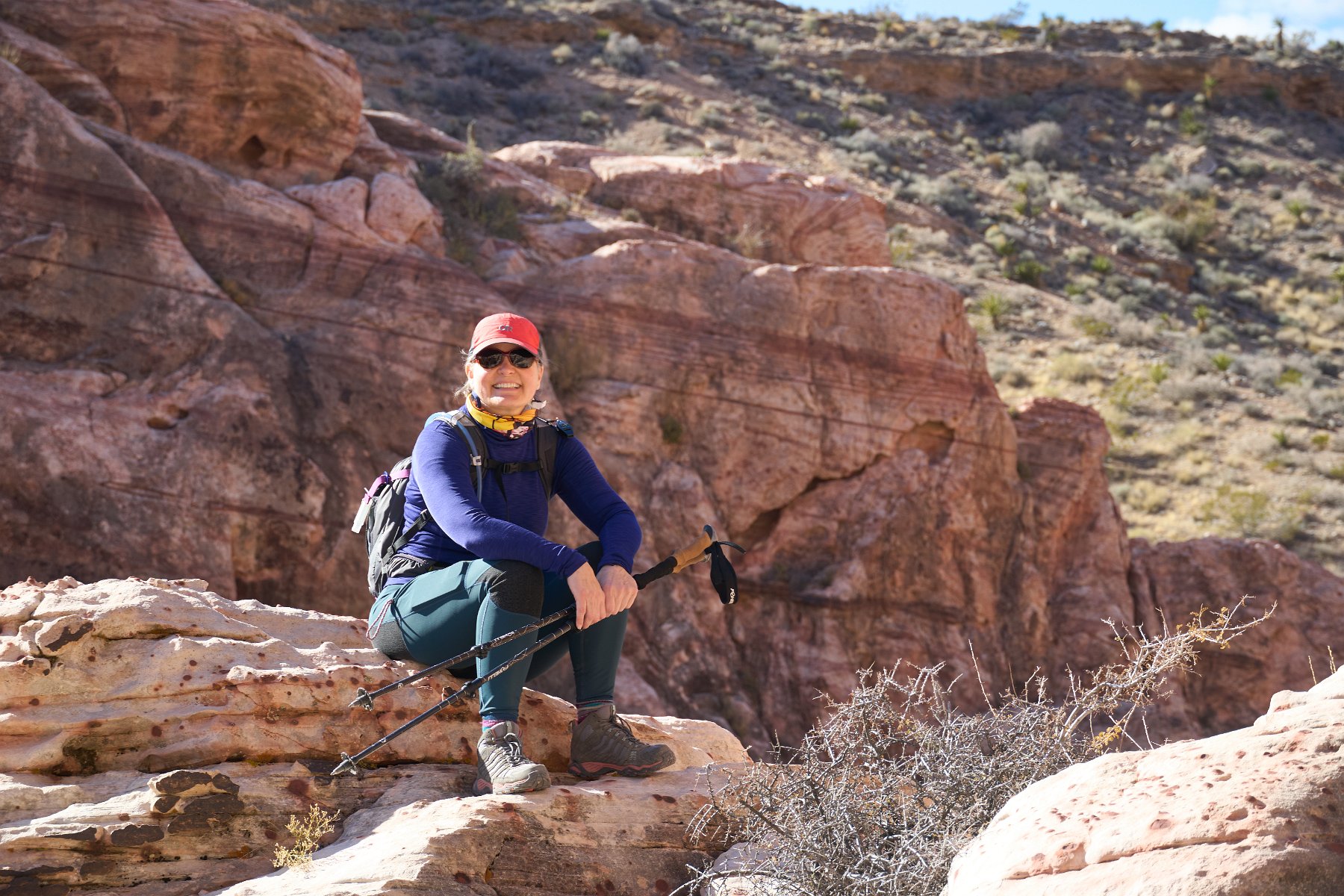
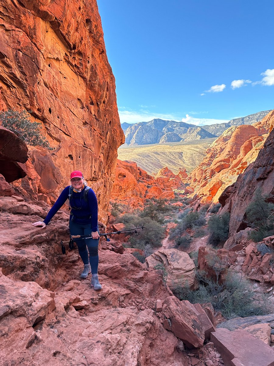
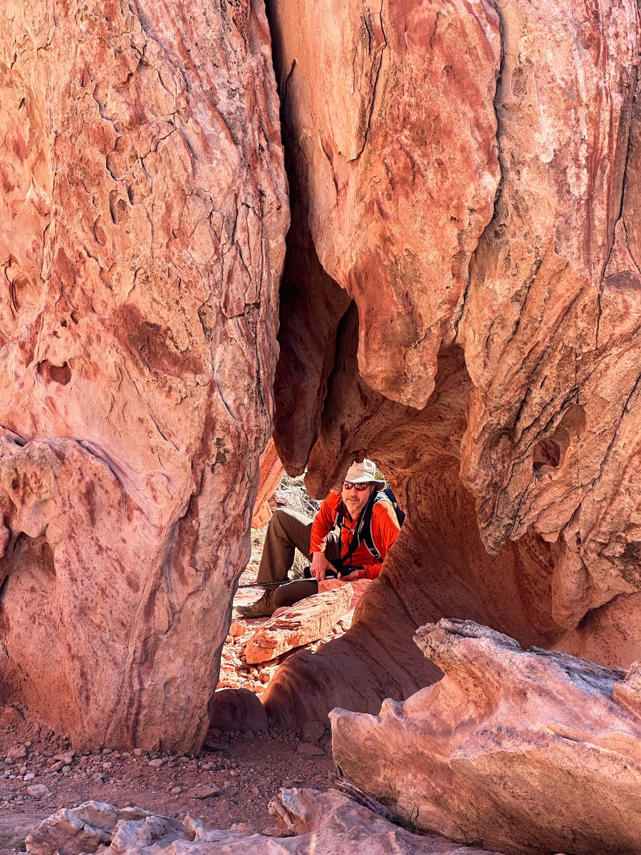
Click through for the full gallery: