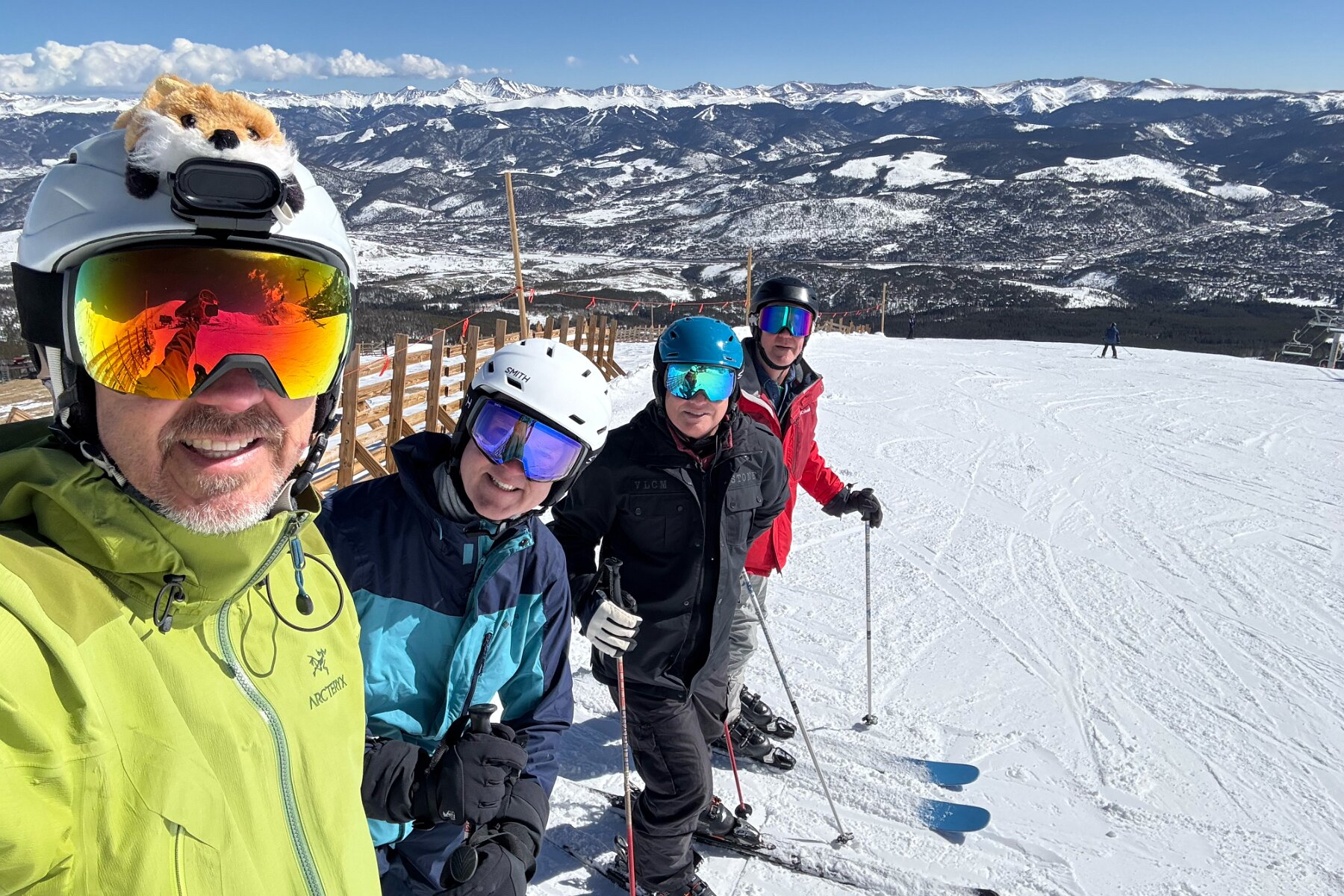
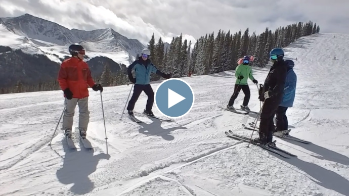
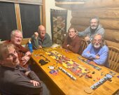
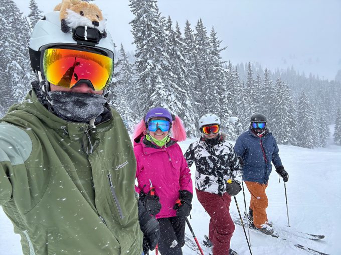
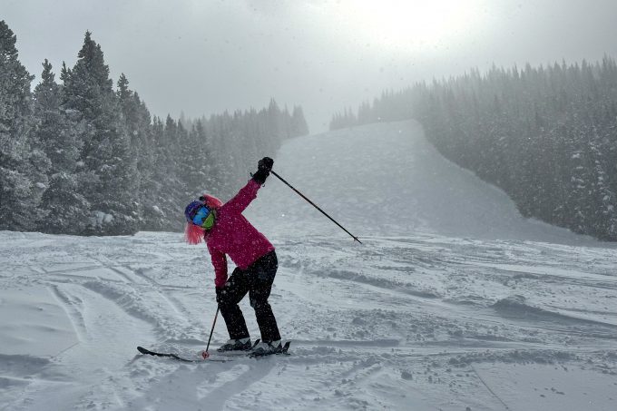
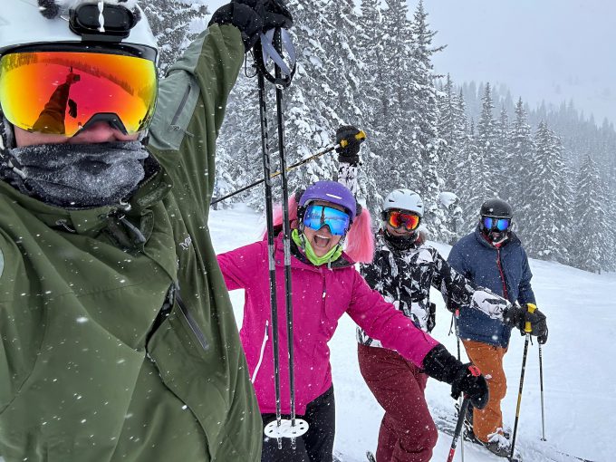
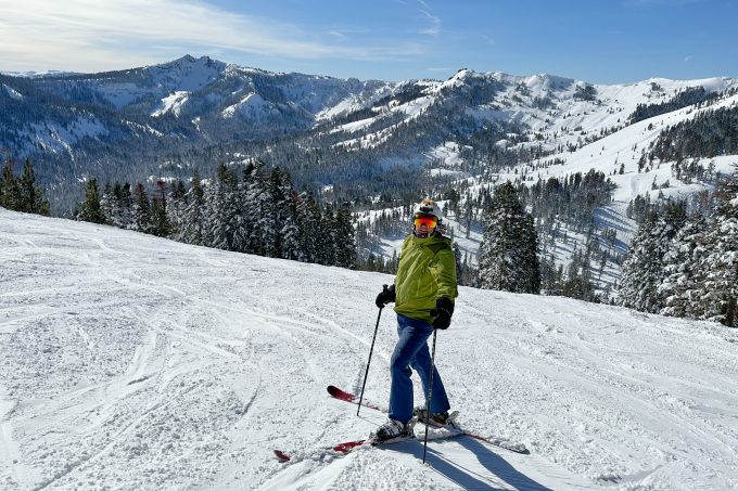
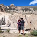
Darlene and I joined Jon, Jim, Bill, Stan and Lewis for our annual week of skiing and board gaming, this time in Colorado in early March. We got a decent amount of fresh snow over the week as we skied at Breckenridge, Keystone and Copper Mountain.
Tag: Colorado
Vail Ski Trip
Colorado Road Trip
I’ve already posted a series of galleries for most of our Colorado road trip:
- Visiting w/Martha & Dave
- Great Sand Dunes National Park
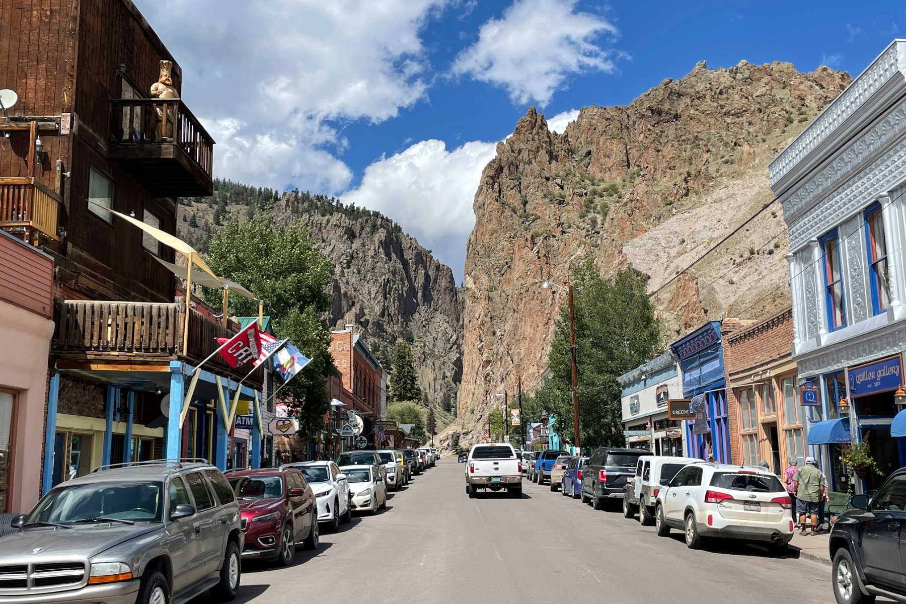
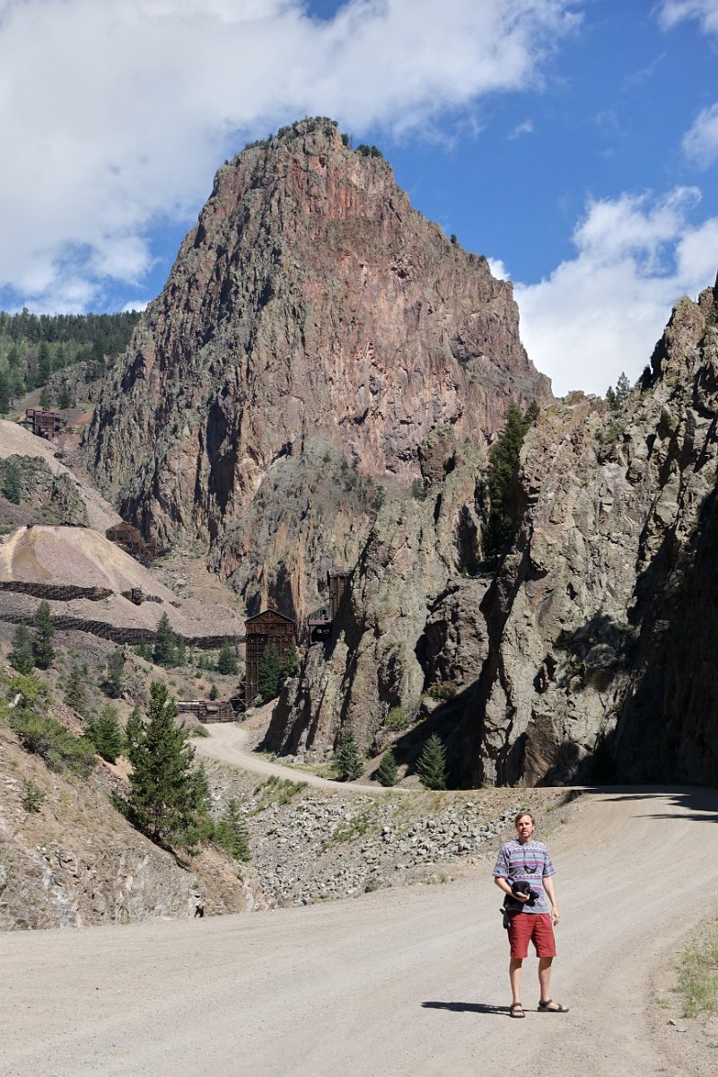
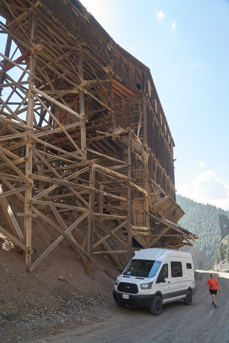
- Creede, Bachelor Loop and Wheeler Geologic Area
- Black Canyon of the Gunnison National Park
- Museum of the Mountain West
- A Taste of the Kokopelli Trail
- Dinosaur National Monument
This last gallery (Florissant, Shelf Road, Flaming Gorge, etc.) contains more miscellaneous pictures — visiting the Florissant Fossil Beds National Monument, driving the dramatic, unpaved Shelf Road south out of Cripple Creek, stopping by the Royal Gorge Bridge, hiking out to the dinosaur trackways near Red Fleet State Park (Utah), spending a couple of days at the south end of the Flaming Gorge National Recreation Area, seeing wild horses in Sand Wash Basin HMA in northwest Colorado, and overnight stops in Wyoming, Utah and Nevada on my way to and from Colorado.
Dinosaur National Monument
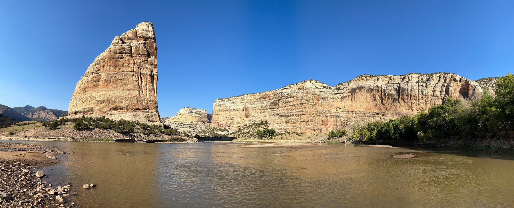
As part of our month-long Colorado road trip, we spent about four days in Dinosaur National Monument but could have happily spent more if not for the worsening smoke from this year’s California wildfires.
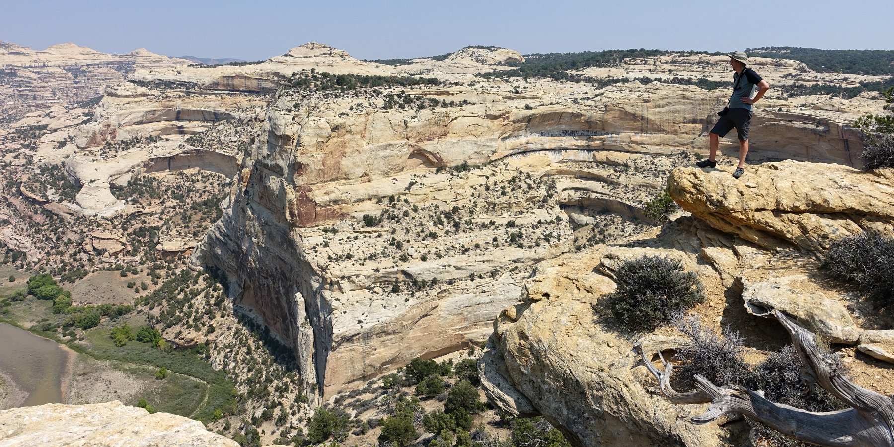
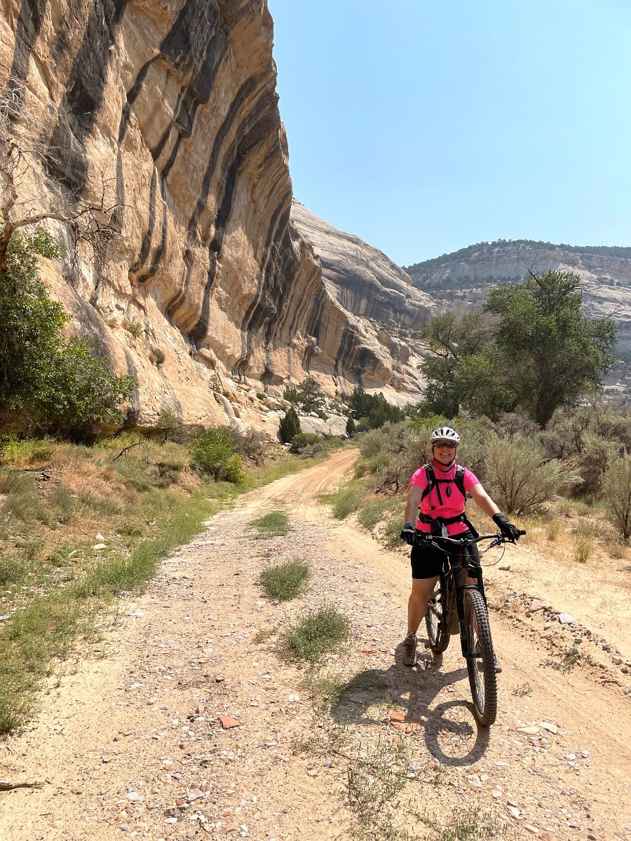
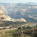
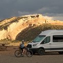
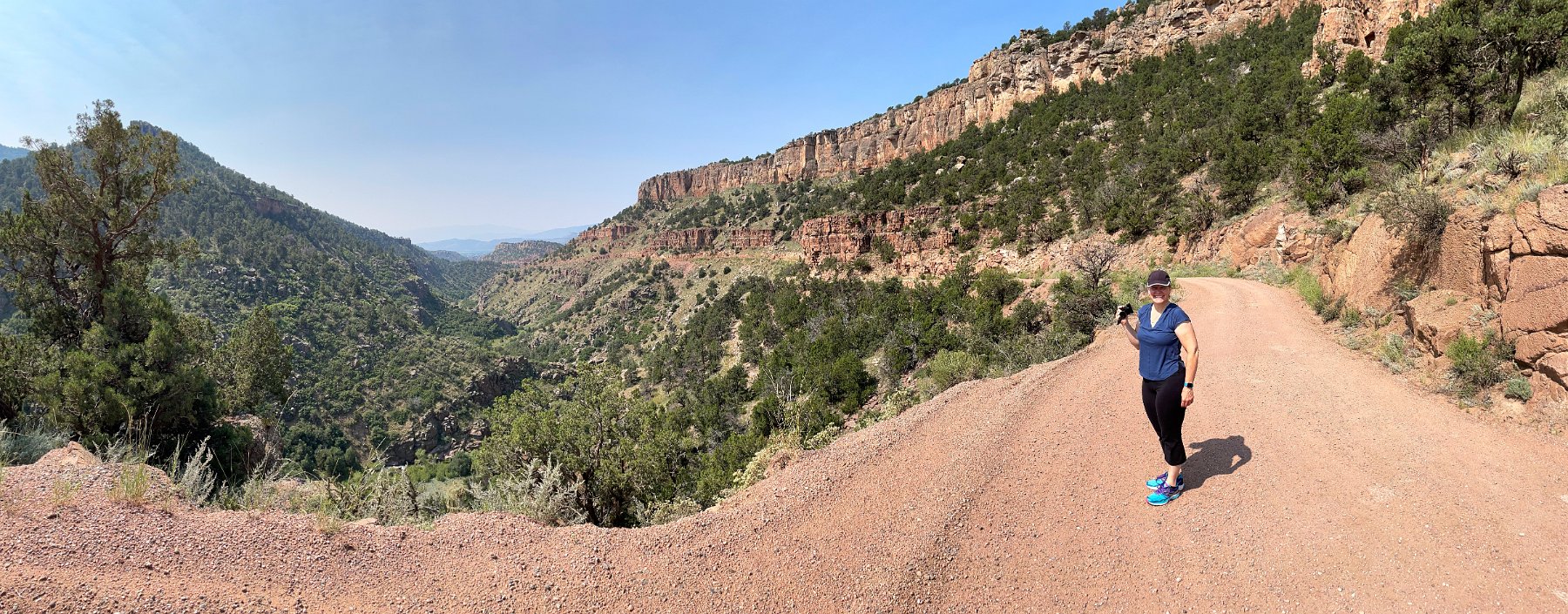
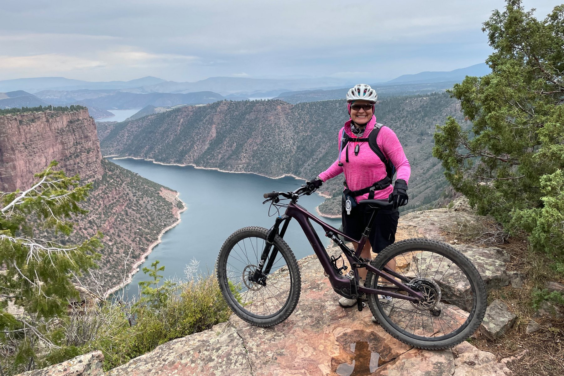
Coming from the south, we started with the canyon portion of the park and spent two nights at the Echo Park campground. One day was just biking out along the Yampa Bench Road and checking out many of the amazing river canyon overlooks.
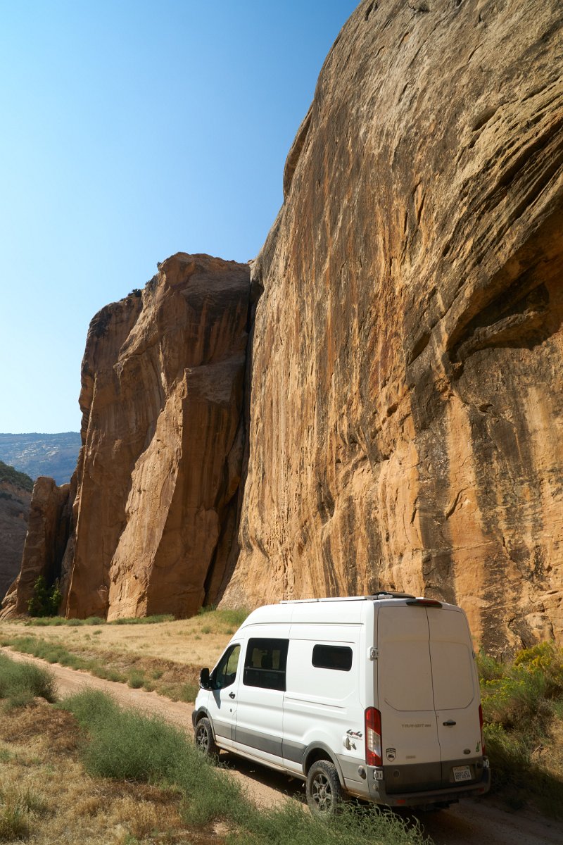
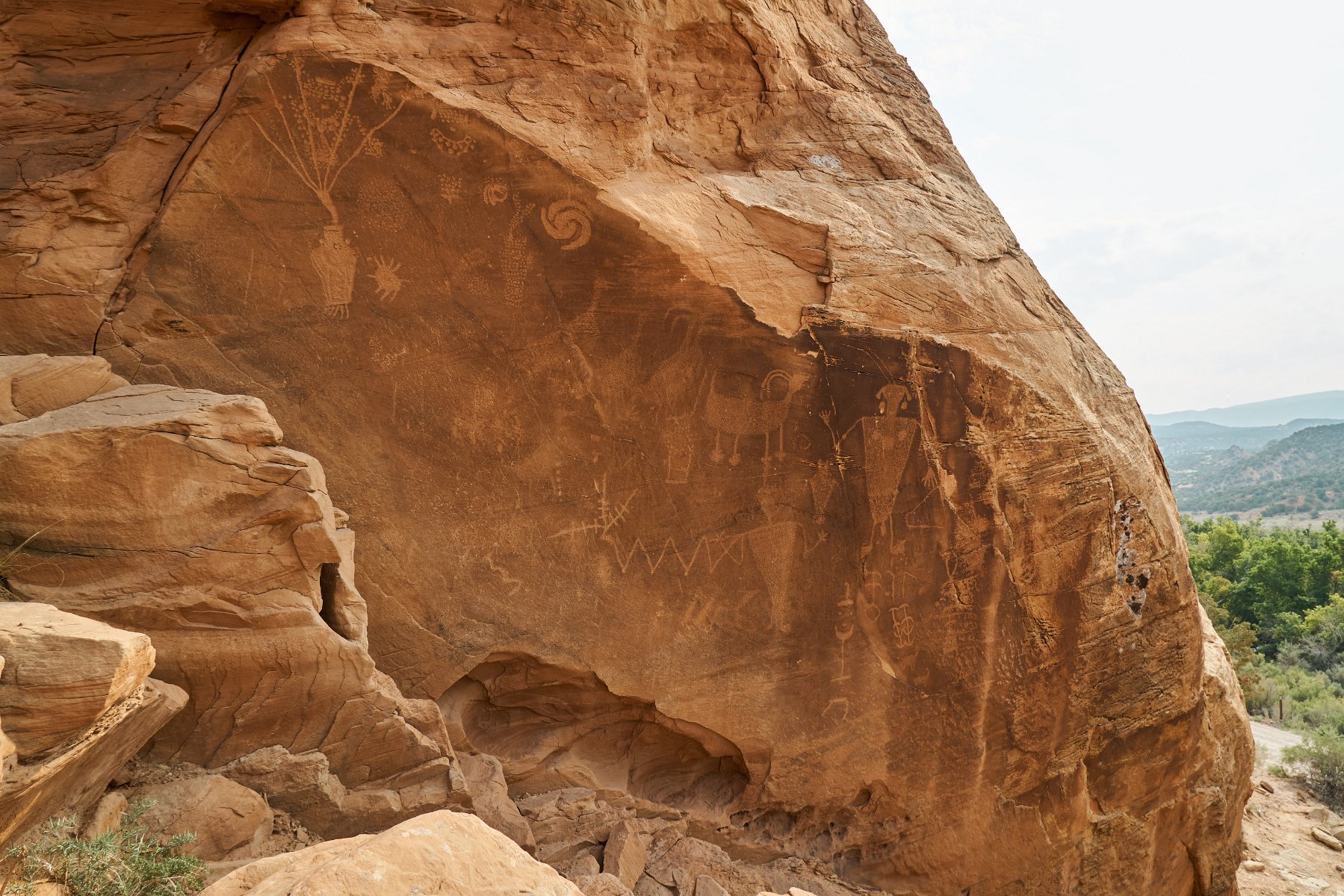
The following day we turned our attention to the dinosaur fossils and petroglyphs in the western part of the park by taking a slow, rough 4WD road to the other side of the park. (Why take the easy way around??)
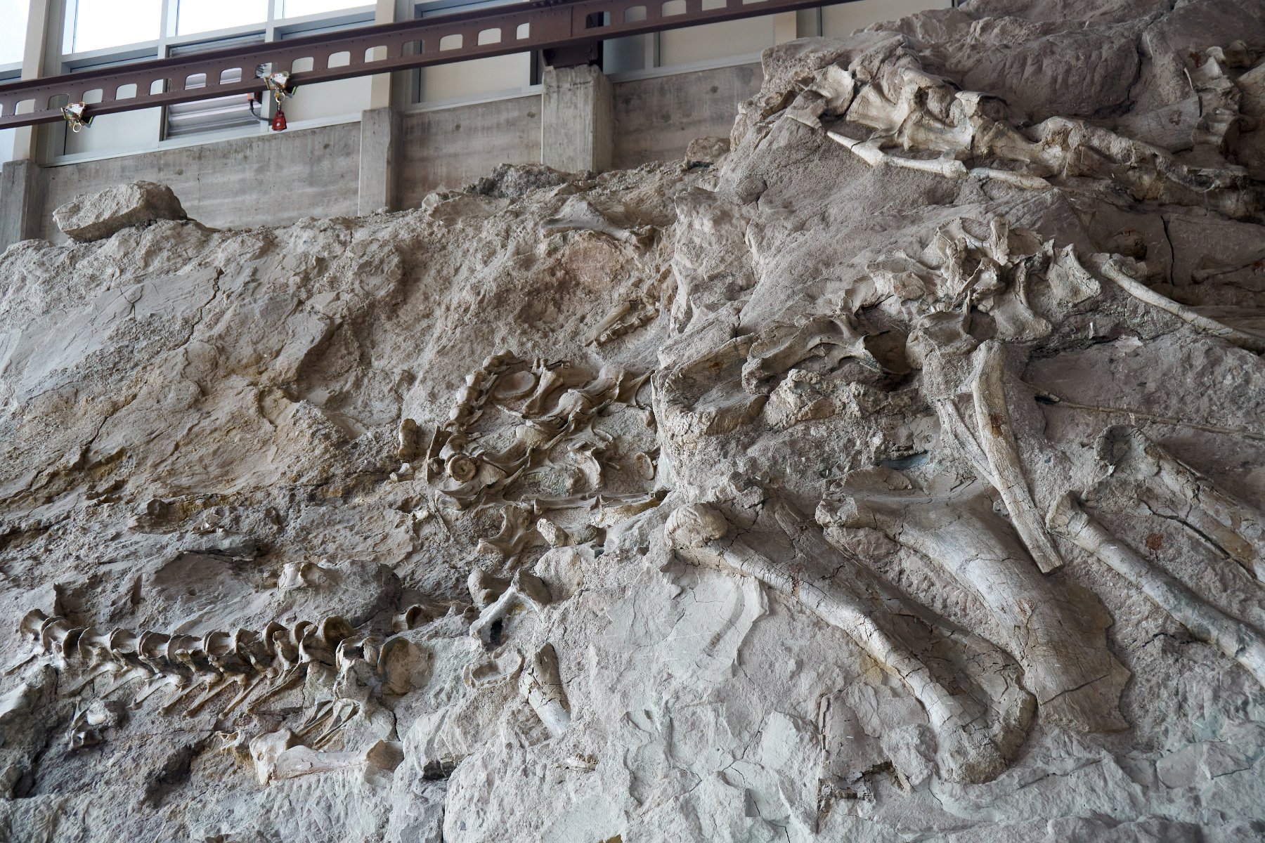
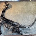
At the Quarry Exhibit Hall, you can see hundreds of fossilized dinosaur bones still embedded in the rock:
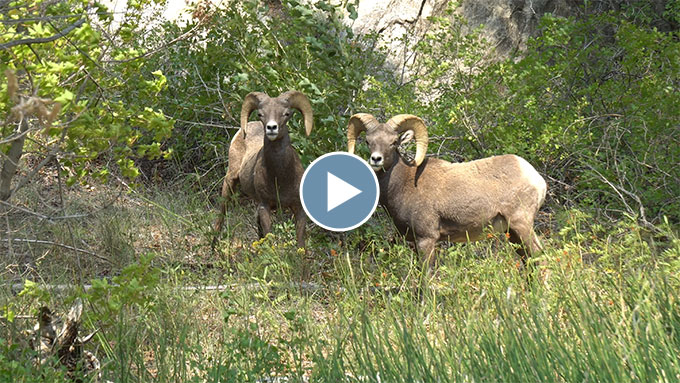
And we had a close encounter with a pair of bighorn sheep:
A Taste of the Kokopelli Trail
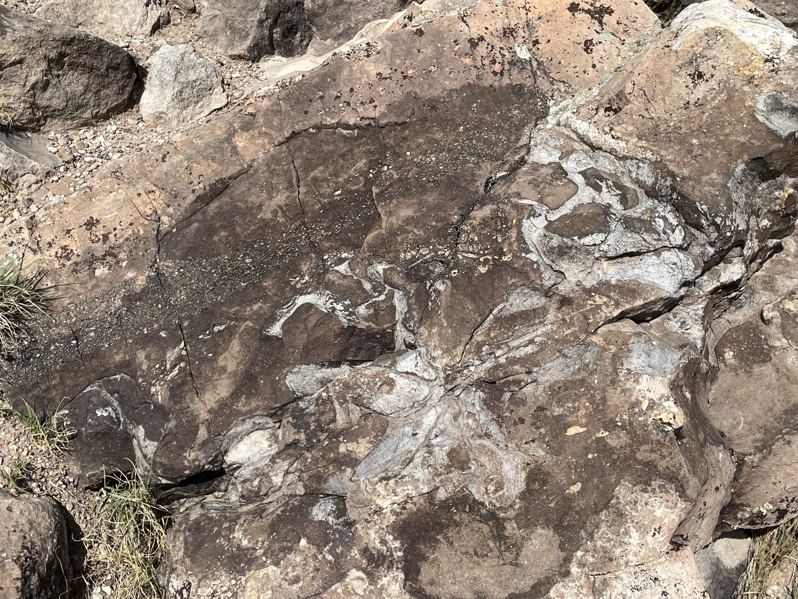
As part of our month-long Colorado road trip, we stopped at a fossil quarry site along I-70 near the Utah border called A Trail Through Time where you can see a few fossils still embedded in the rock:
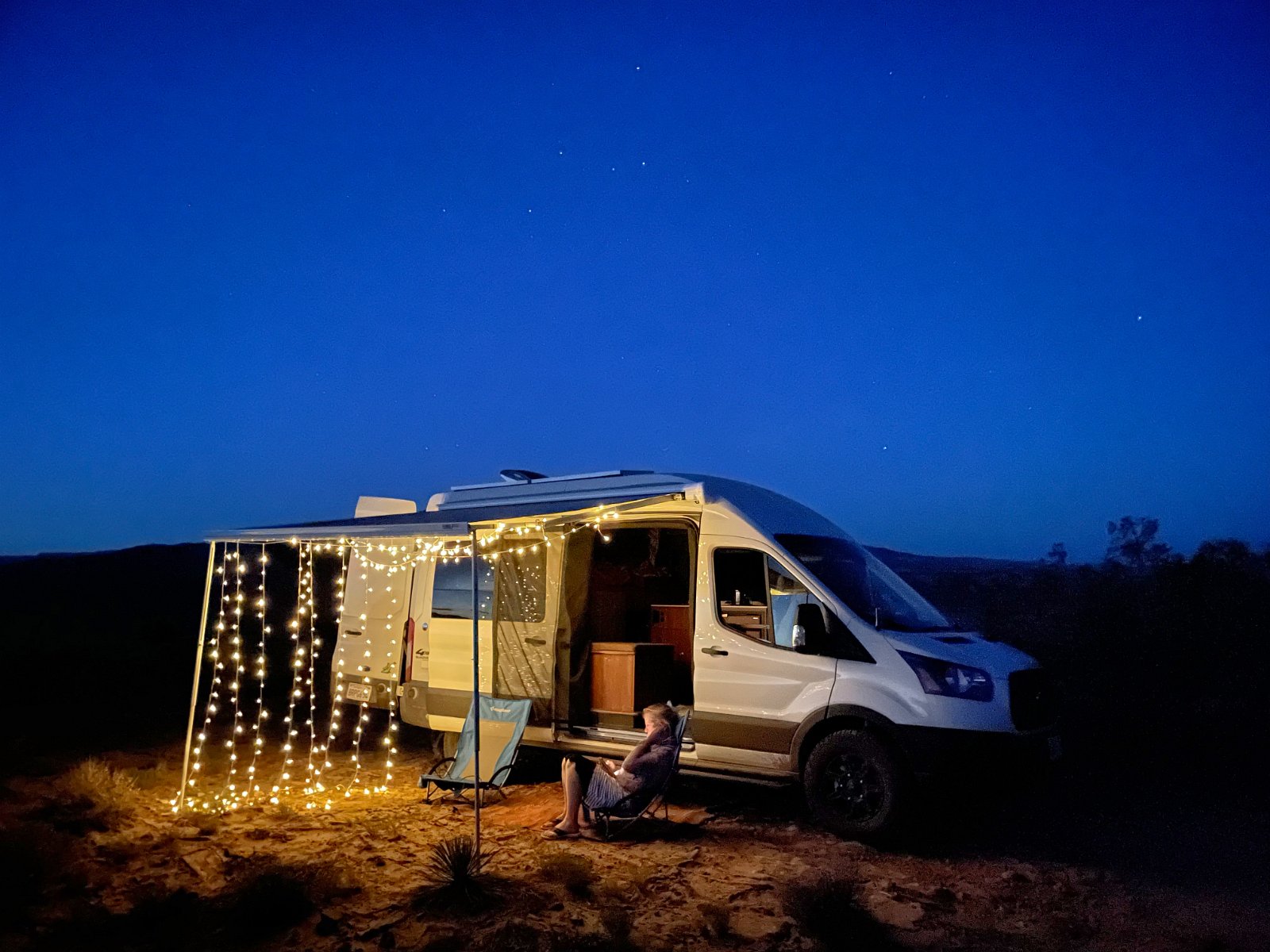
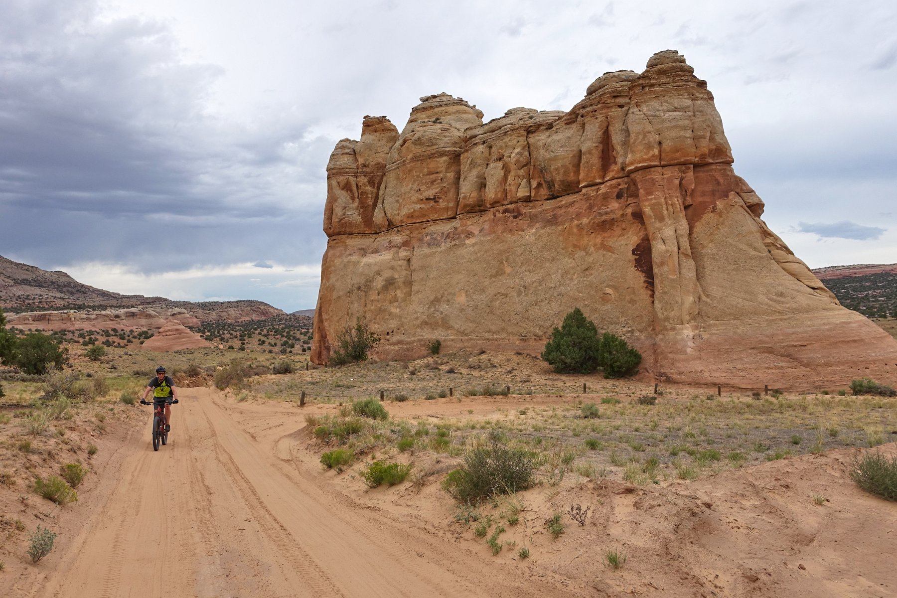
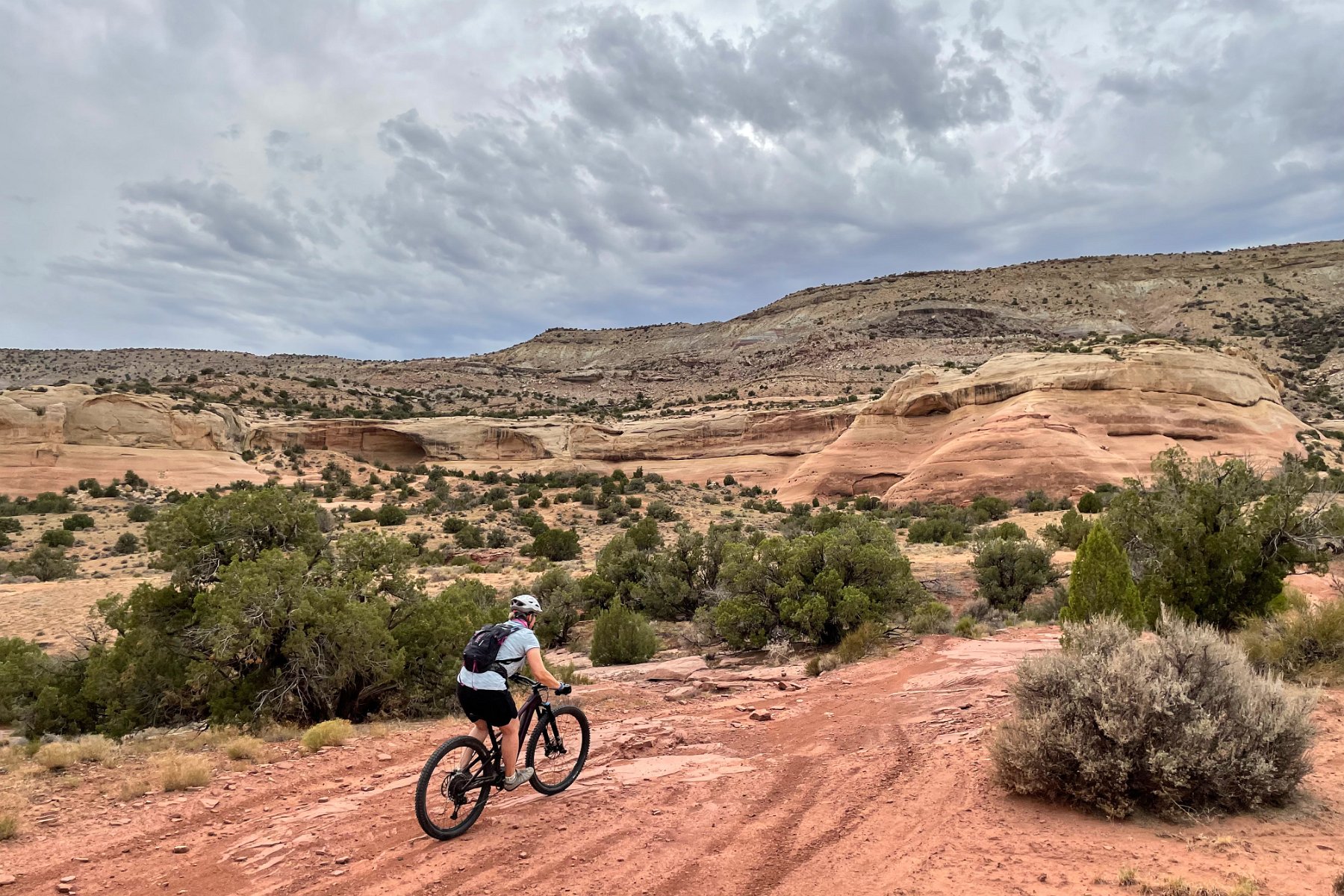
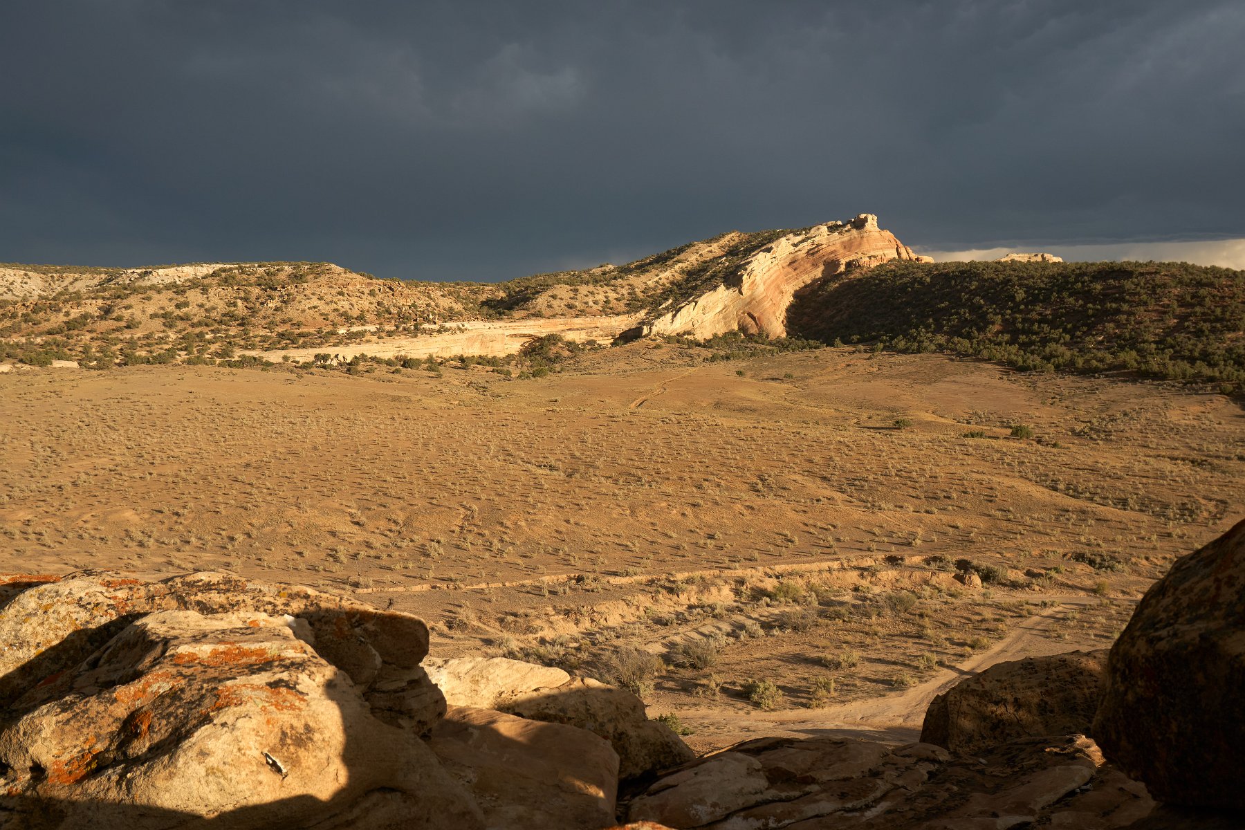
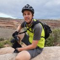
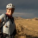
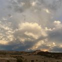
Afterwards we chose to check out the mountain biking trails in the BLM area just across the highway. Turns out this very pretty area, Rabbit Valley, is part of the popular Kokopelli Trail that continues southwest into Utah and all the way to Moab, over 140 miles. We just ended up riding as far as an overlook of the Colorado River that afternoon before returning to our campsite for dinner and to watch a very cool, very active, distant thunderstorm. I went for another ride later that night after dark.
Museum of the Mountain West
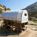
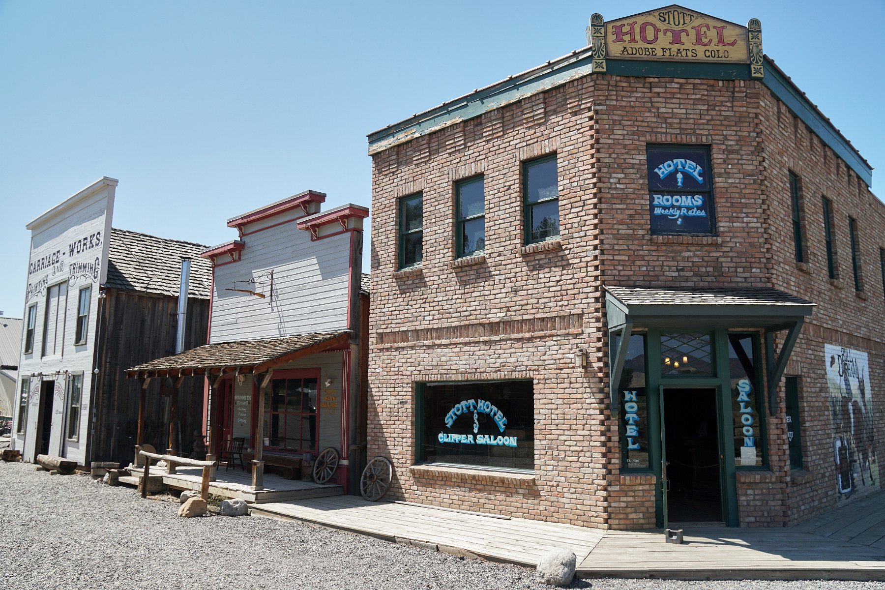
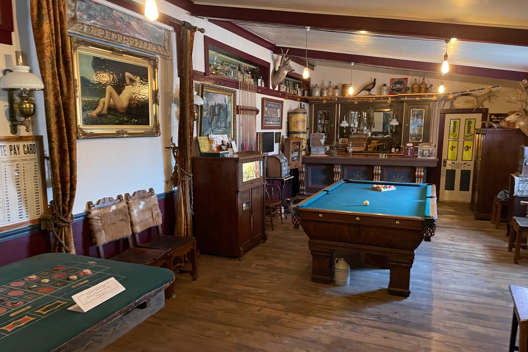
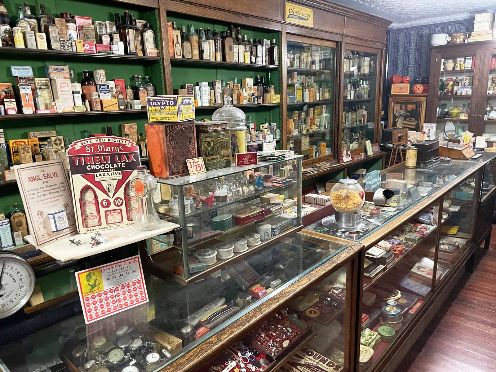
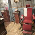
As part of our month-long Colorado road trip, we decided to check out the Museum of the Mountain West in Montrose after seeing it in Atlas Obscura. Jim was our friendly tour guide for several hours and it proved to be quite an amazing collection of old west artifacts. Very easy to recommend – check it out – but you’ll want a guided tour as as a lot of rooms are now cordoned off for self-guided visitors. (They kept having thefts.)
Black Canyon of the Gunnison
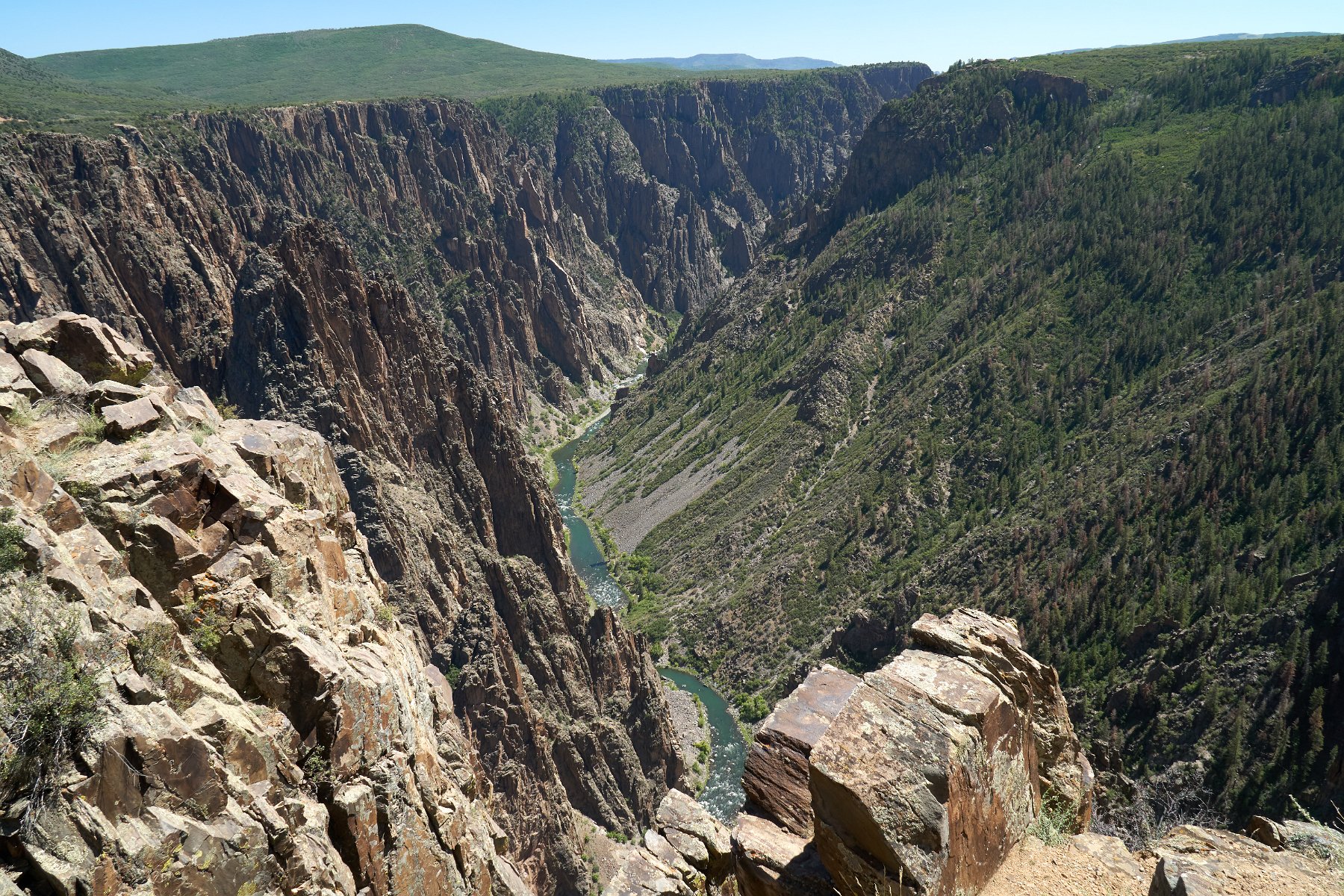
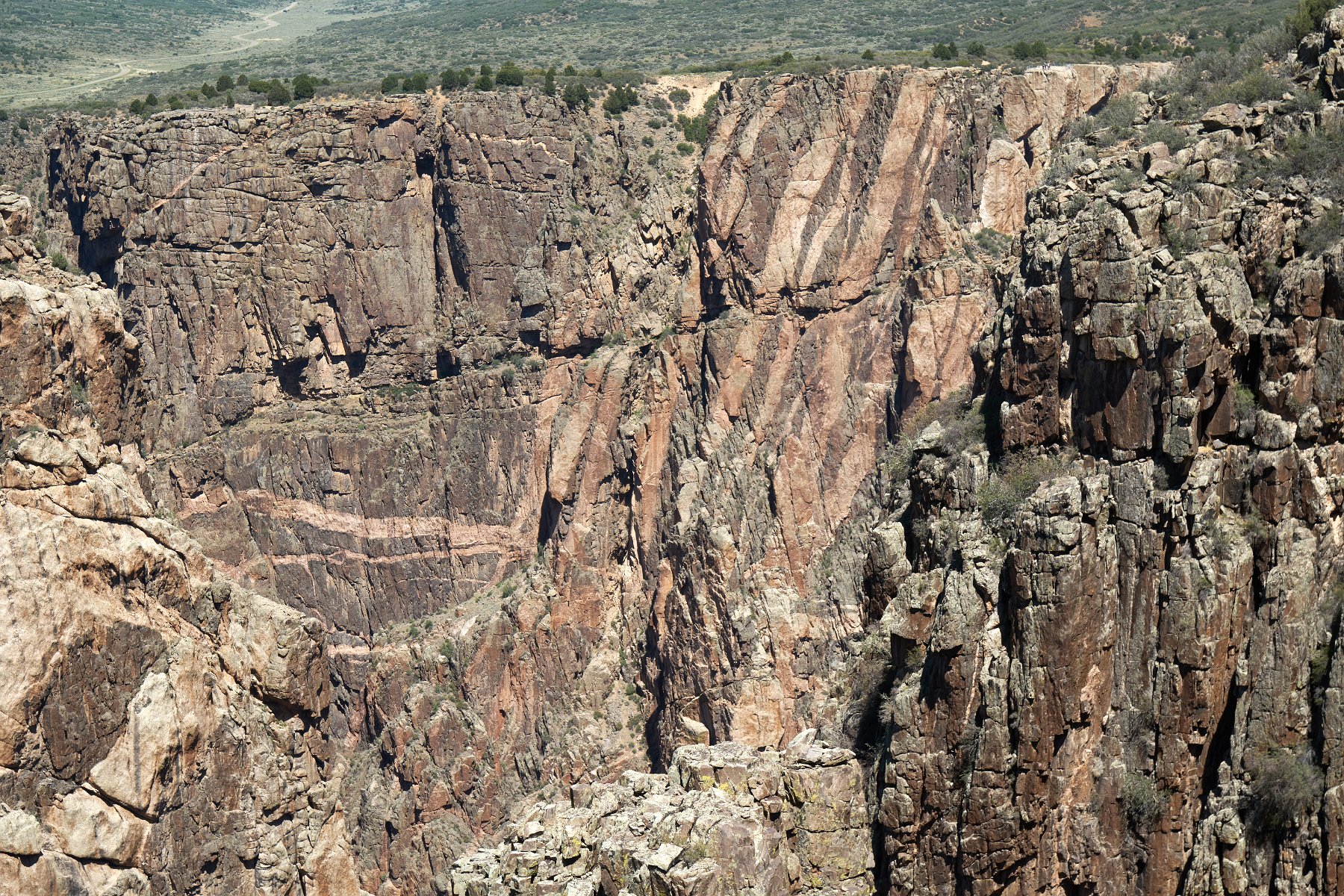
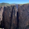
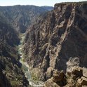
As part of our month-long Colorado road trip, we spent a day exploring the south side of the Black Canyon of the Gunnison National Park. And yes, it is an incredibly deep, steep and narrow canyon! We camped on some BLM land just outside of the park and spent a full day gawking at the canyon from the various viewpoints, including hiking out the Warner Point nature trail.
Creede, Bachelor Loop and Wheeler Geologic Area
As part of our month-long Colorado road trip, we found ourselves in Creede and immediately discovered the incredible scenery of the 17-mile Bachelor Historic Mining Loop starting just outside of town. We camped on a spur of the loop and then proceeded to follow the historic loop and gawk at the incredible scenery. I do regret that we didn’t choose to ride our bikes along the route instead but it was still fantastic to see.
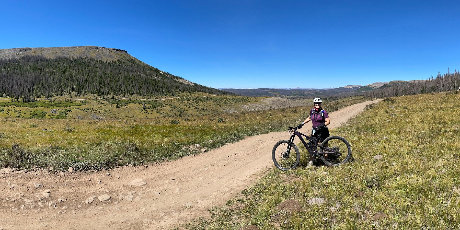
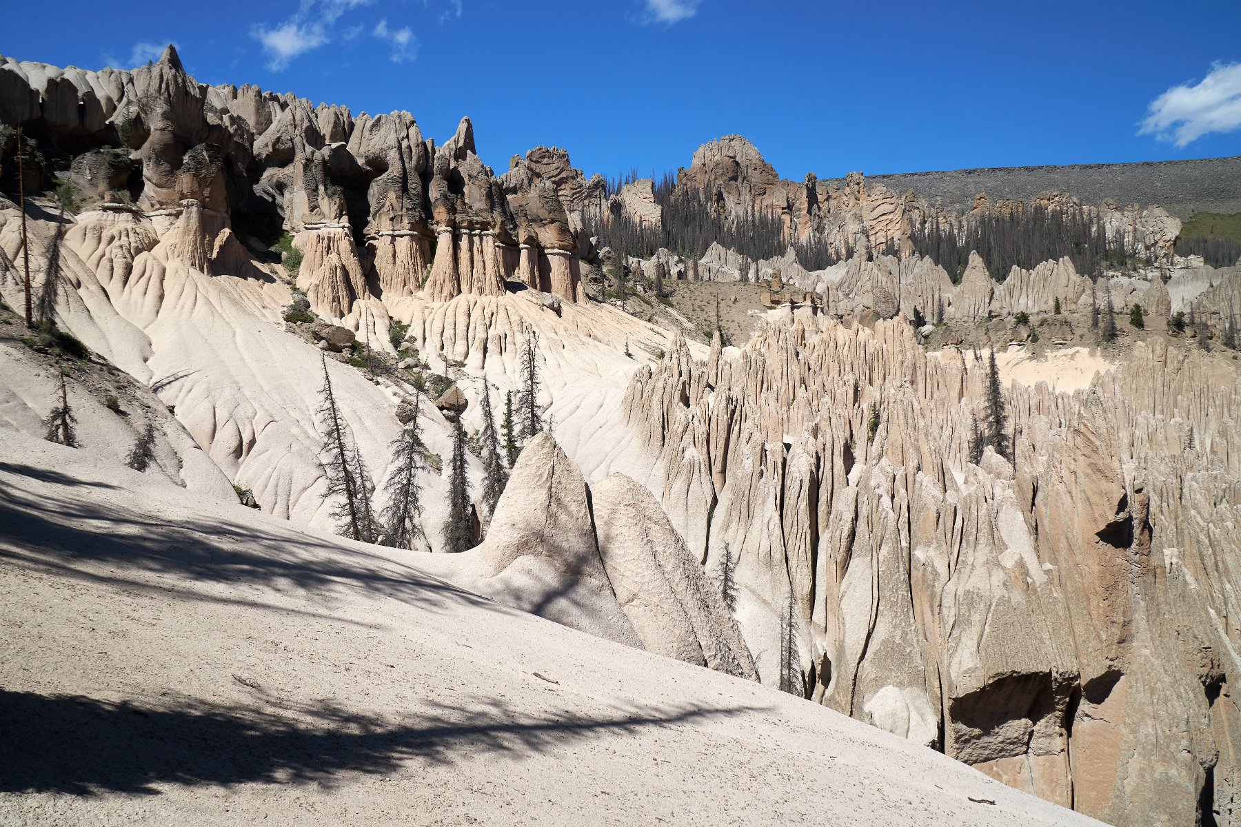
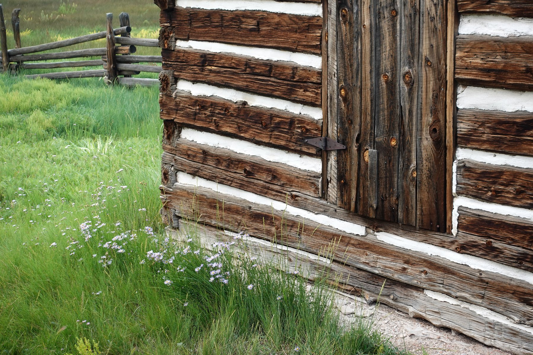
Later that day we decided to make our way up to the staging area (at 11,000 ft) for the Wheeler Geologic Area, based on an entry from Atlas Obscura. You can’t actually easily drive the whole way as the dirt road gets seriously messed up and eroded away at points requiring serious 4WD maneuvering. (Most people seem to take ATV’s or other off-highway vehicles.) There is also a hiking trail but that’s best done as an overnight backpacking trip as it’s seven miles just to the trailhead leading to the formations. We opted to follow the 4WD road on our mountain bikes as they aren’t allowed on the hiking trail. (Except for the carve out for the dirt road, this is deep inside a designated wilderness area.) Interestingly, the Wheeler Geologic Area used to have national monument status until 1950.
As it turns out, the road goes way out-of-the-way to get there (14 miles) and it both gives up and regains a lot of elevation along the way. Doing 30 miles round trip from our nearby boondocking site at 11,000 ft of elevation with a two-and-half-mile hike in the middle to actually see the formations turned out to make for a seriously brutal day – and that was with our electric-assist mountain bikes. It was however a gorgeous ride and the geological formations are very cool – definitely worth the effort of getting there.
